Gleddie's Weel

Lake, Pool, Pond, Freshwater Marsh in Selkirkshire

Scotland

Gleddie's Weel

Lodge, Ashiestiel House The lodge at the entrance to Ashiestiel House. Sir Walter Scott lived in the big house between 1804 and 1812 until he acquired Abbotsford.
Lodge, Ashiestiel House Credit: Jim Barton

Gleddie's Weel is a picturesque freshwater marsh located in Selkirkshire, Scotland. Situated amidst the rolling hills and lush greenery, it is a serene and tranquil spot that attracts both nature enthusiasts and visitors seeking a peaceful retreat.

Spanning over a vast area, Gleddie's Weel is a haven for various flora and fauna. The marsh is characterized by its shallow water bodies, including a small lake, pool, and pond, which are fed by natural springs and rainfall. These water bodies are rich in aquatic vegetation, providing a habitat for numerous species of plants and animals.

The marsh is home to a diverse range of bird species, including waterfowl such as ducks, swans, and geese. Their presence adds to the enchanting ambiance of the area, with their graceful movements and melodic calls. Additionally, the marsh is teeming with smaller creatures like frogs, newts, and dragonflies, making it a hotspot for wildlife enthusiasts and photographers.

Visitors to Gleddie's Weel can explore the marsh by following the well-maintained walking trails that wind through the area. These paths offer breathtaking views of the surrounding landscape and allow visitors to observe the various habitats and ecosystems present in the marsh.

Nature lovers can also indulge in birdwatching, photography, or simply find solace in the peaceful surroundings. The marsh provides an ideal escape from the hustle and bustle of city life, allowing visitors to reconnect with nature and experience its beauty firsthand.

Overall, Gleddie's Weel is a hidden gem in Selkirkshire, offering a glimpse into the wonders of freshwater marshes and providing a haven for both wildlife and humans alike.

If you have any feedback on the listing, please let us know in the comments section below.

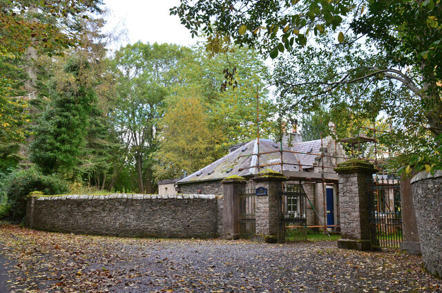
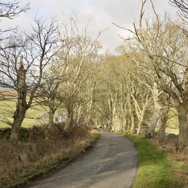
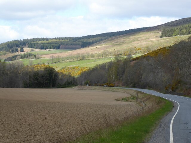
Gleddie's Weel Images

Images are sourced within 2km of 55.617097/-2.9269085 or Grid Reference NT4136. Thanks to Geograph Open Source API. All images are credited.

Lodge, Ashiestiel House The lodge at the entrance to Ashiestiel House. Sir Walter Scott lived in the big house between 1804 and 1812 until he acquired Abbotsford.
Lodge, Ashiestiel House
The lodge at the entrance to Ashiestiel House. Sir Walter Scott lived in the big house between 1804 and 1812 until he acquired Abbotsford.
Minor road near Ashiestiel The back road on the south side of the Tweed between Walkerburn and Peel.
Minor road near Ashiestiel
The back road on the south side of the Tweed between Walkerburn and Peel.
Southern side of Knowes Hill
Road, Laidlawstiel
Road, Laidlawstiel
Clearance cairn, Laidlawstiel A rather tidy pile of stones, built into a dyke.
Clearance cairn, Laidlawstiel
A rather tidy pile of stones, built into a dyke.
Summit, Laidlawstiel Hill There is an irregular ruined dyke here, believed to be a sheep shelter.
Summit, Laidlawstiel Hill
There is an irregular ruined dyke here, believed to be a sheep shelter.
Ruined dyke on the summit of Laidlawstiel Hill An irregular wall which is not an enclosure. Believed to be a sheep shelter, but why at the top of the hill? Sheep go downhill in bad weather.
Ruined dyke on the summit of Laidlawstiel Hill
An irregular wall which is not an enclosure. Believed to be a sheep shelter, but why at the top of the hill? Sheep go downhill in bad weather.
Laidlawstiel Hill View towards Laidlawstiel House and the Moorfoot Hills.
Laidlawstiel Hill
View towards Laidlawstiel House and the Moorfoot Hills.
Tweeddale, Thornielee View from Laidlawshiel Hill towards Elibank Law across the Tweed.
Tweeddale, Thornielee
View from Laidlawshiel Hill towards Elibank Law across the Tweed.
Corner of the moorland on Laidlawstiel Hill A broken down dyke gives easy access to the rough pasture and heather of the summit from the road below.
Corner of the moorland on Laidlawstiel Hill
A broken down dyke gives easy access to the rough pasture and heather of the summit from the road below.
A72, Thornielee Running beside the Tweed between Peebles and Galashiels.
A72, Thornielee
Running beside the Tweed between Peebles and Galashiels.
Clearance cairn, Laidlawstiel Tups beside a less tidy pile of stones than this one: <a href="https://www.geograph.org.uk/photo/7086885">NT4237 : Clearance cairn, Laidlawstiel</a>
Clearance cairn, Laidlawstiel
Tups beside a less tidy pile of stones than this one: NT4237 : Clearance cairn, Laidlawstiel
A larch stump The larch tree by a field entrance was likely felled as the result of storm damage.
A larch stump
The larch tree by a field entrance was likely felled as the result of storm damage.
Inquisitive bullocks The bullocks were checking me out in a large field on the north side of Ashiestiel Hill.
Inquisitive bullocks
The bullocks were checking me out in a large field on the north side of Ashiestiel Hill.
A72 in the Tweed Valley
Fishing hut On Rampy Heugh, across the River Tweed.
Fishing hut
On Rampy Heugh, across the River Tweed.
River Tweed Near Ashiestiel Farm.
Viewed from the A72.
River Tweed
Near Ashiestiel Farm. Viewed from the A72.
A72 above the River Tweed flood plain Laidlawstiel Hill in the sunlight.
A72 above the River Tweed flood plain
Laidlawstiel Hill in the sunlight.
Show me another place!

Gleddie's Weel is located at Grid Ref: NT4136 (Lat: 55.617097, Lng: -2.9269085)

Unitary Authority: The Scottish Borders

Police Authority: The Lothians and Scottish Borders

What 3 Words

///corrosive.unafraid.buckets. Near Galashiels, Scottish Borders

Related Wikis

Thornielee railway station

Thornielee railway station served the smallholding of Thornielee, Scottish Borders, Scotland from 1866 to 1950 on the Peebles Railway. == History == The...

Angling Club Cottage Platform railway station

Angling Club Cottage Platform served the Edinburgh Angling Club in Selkirk, Scottish Borders, Scotland from 1898 to the late 1940s. == History == The station...

Ashiestiel

Ashiestiel is a village in the Scottish Borders area of Scotland, in the Parish of Caddonfoot, on the south side of the River Tweed, 4m (6.5 km) east of...

Peel Hospital

Peel Hospital was a health facility at Caddonfoot in the Scottish Borders, Scotland. It is a Category A Listed Building. == History == Peel House was designed...

Nearby Amenities

Located within 500m of 55.617097,-2.9269085
Thornylee
Place: locality
Lat/Long: 55.6168859/-2.9342296
Whitewater: put_in
Lat/Long: 55.6167076/-2.9231743
Bus Stop
Thornielee Road End
Bus: yes
Naptan AtcoCode: 69001235
Naptan Bearing: E
Naptan CommonName: Thornielee Rd End
Naptan Indicator: at
Naptan NaptanCode: 72725745
Naptan Street: A72
Operator: Scottish Borders Council
Public Transport: platform
Ref: 69001235
Source: NaPTAN
Lat/Long: 55.6166987/-2.9336843
Bus Stop
Thornielee Road End
Bus: yes
Naptan AtcoCode: 69001236
Naptan Bearing: W
Naptan CommonName: Thornielee Rd End
Naptan Indicator: opp
Naptan NaptanCode: 72725742
Naptan Street: A72
Operator: Scottish Borders Council
Public Transport: platform
Ref: 69001236
Source: NaPTAN
Lat/Long: 55.6165205/-2.9342537
Material: wood
Power: pole
Lat/Long: 55.6167334/-2.9320132
Power: pole
Lat/Long: 55.6170598/-2.9302906
Power: pole
Lat/Long: 55.6164411/-2.9333858
Power: pole
Lat/Long: 55.6210963/-2.9299191
Power: pole
Lat/Long: 55.6207313/-2.9284036
Power: pole
Lat/Long: 55.6204344/-2.9271242
Power: pole
Lat/Long: 55.6196893/-2.9273012
Power: pole
Lat/Long: 55.618991/-2.9274917
Power: pole
Lat/Long: 55.6183185/-2.9276419
Generator Method: photovoltaic
Generator Output Electricity: yes
Generator Source: solar
Generator Type: solar_photovoltaic_panel
Power: generator
Lat/Long: 55.6173204/-2.9335977
Power: pole
Lat/Long: 55.6173453/-2.9245037
Power: pole
Lat/Long: 55.6175089/-2.9254478
Power: pole
Lat/Long: 55.6173696/-2.9287724
Power: pole
Lat/Long: 55.6174582/-2.9278685
Power: pole
Lat/Long: 55.617565/-2.9267165
Power: pole
Lat/Long: 55.6171553/-2.9235421
Power: pole
Lat/Long: 55.6166433/-2.9221527
Power: pole
Lat/Long: 55.6162964/-2.9210141
Power: pole
Lat/Long: 55.6160359/-2.9197186
Give Way
Direction: forward
Lat/Long: 55.6166631/-2.9338697
Power: pole
Lat/Long: 55.6209246/-2.9261885
Power: pole
Lat/Long: 55.6214607/-2.9251552
The data included in this document is from www.openstreetmap.org. The data is made available under ODbL.

Have you been to Gleddie's Weel?

Leave your review of Gleddie's Weel below (or comments, questions and feedback).