Sibdon Pool
Lake, Pool, Pond, Freshwater Marsh in Shropshire
England
Sibdon Pool

The requested URL returned error: 429 Too Many Requests
If you have any feedback on the listing, please let us know in the comments section below.
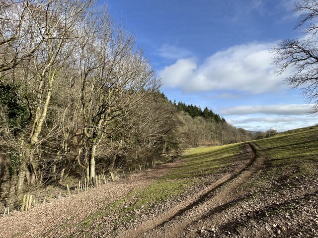
Sibdon Pool Images
Images are sourced within 2km of 52.444924/-2.863038 or Grid Reference SO4183. Thanks to Geograph Open Source API. All images are credited.


Sibdon Pool is located at Grid Ref: SO4183 (Lat: 52.444924, Lng: -2.863038)
Unitary Authority: Shropshire
Police Authority: West Mercia
What 3 Words
///pages.mainland.giraffes. Near Craven Arms, Shropshire
Nearby Locations
Related Wikis

Sibdon Carwood
Sibdon Carwood is a hamlet and parish in Shropshire, England. To the east is the town of Craven Arms. == Etymology and history == The place is occasionally...

Cheney Longville Castle
Cheney Longville Castle was in the village of Cheney Longville to the north of Craven Arms, Shropshire (grid reference SO417847). It is a much restored...

Cheney Longville
Cheney Longville ( SHEH-nee LONG-vil) is a small village in Shropshire, England. It lies in the parish of Wistanstow, near to the small market town of...
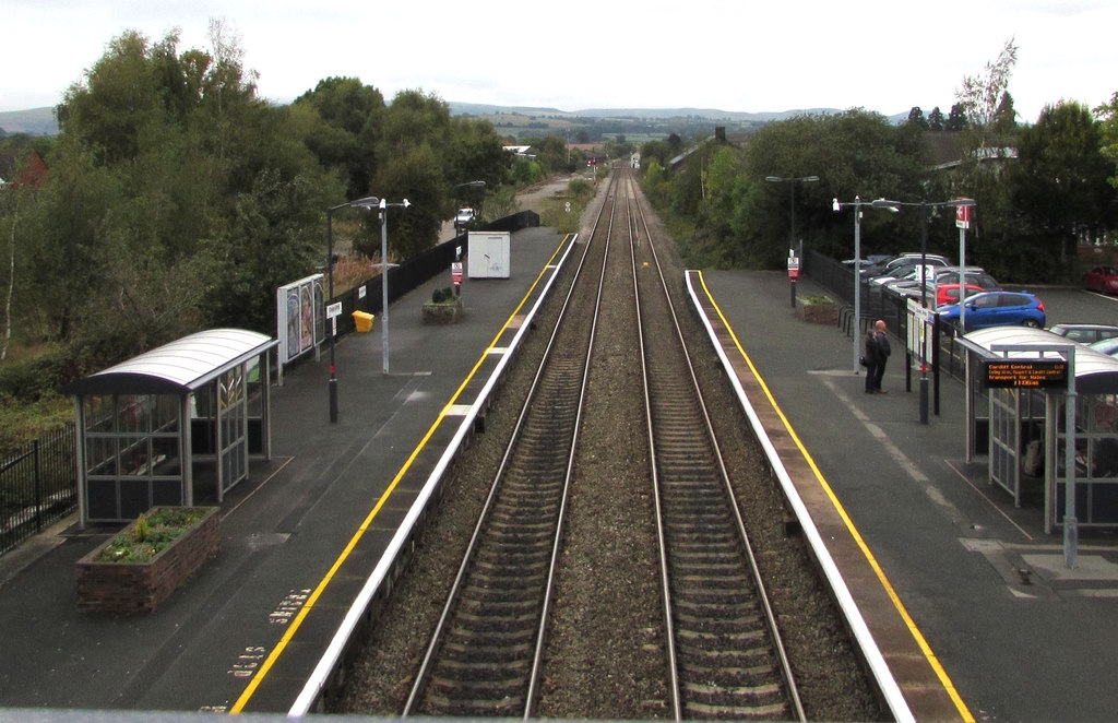
Craven Arms railway station
Craven Arms railway station serves the town of Craven Arms in Shropshire, England. Until 1974 it was known as "Craven Arms and Stokesay", named after the...
Nearby Amenities
Located within 500m of 52.444924,-2.863038Have you been to Sibdon Pool?
Leave your review of Sibdon Pool below (or comments, questions and feedback).