East Hill Strip

Wood, Forest in Fife

Scotland

East Hill Strip

Harleswynd from the east
Harleswynd from the east Credit: Becky Williamson

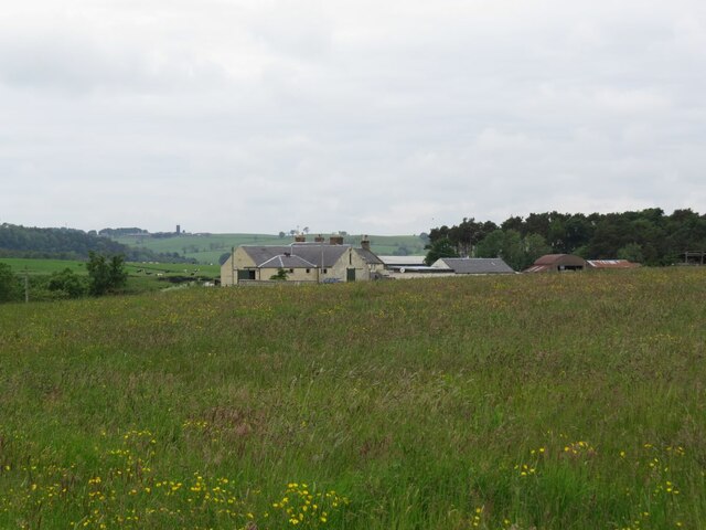
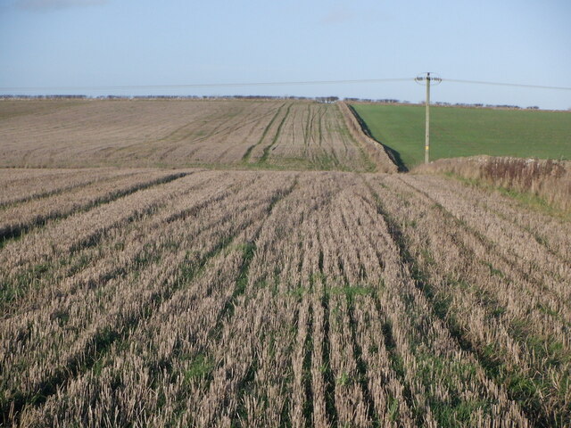
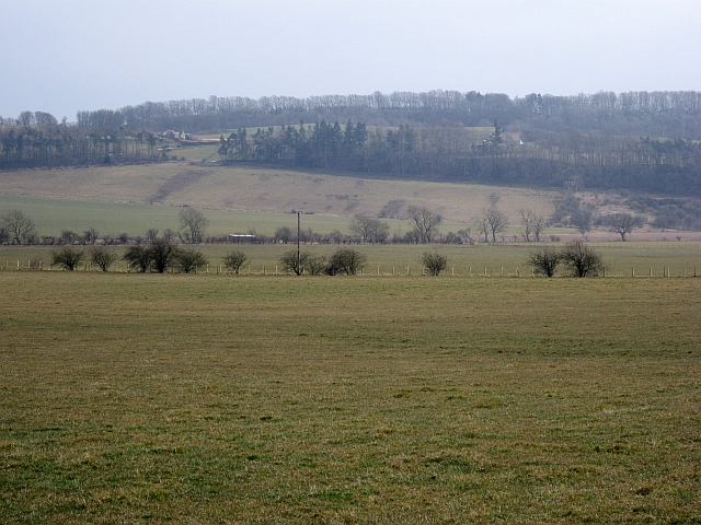
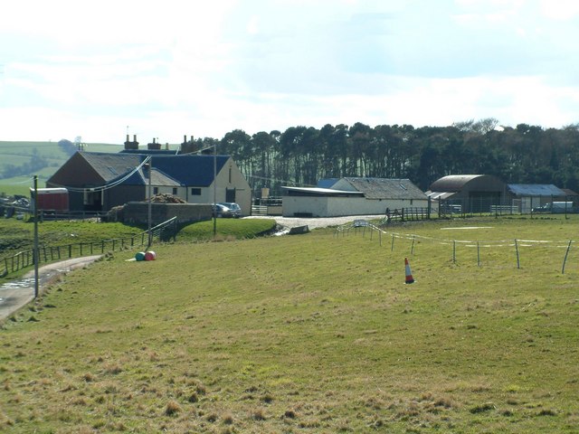
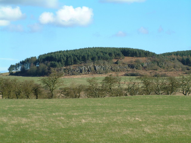
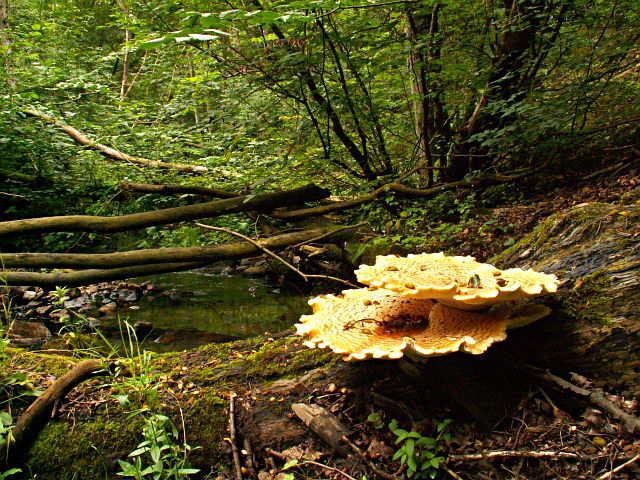
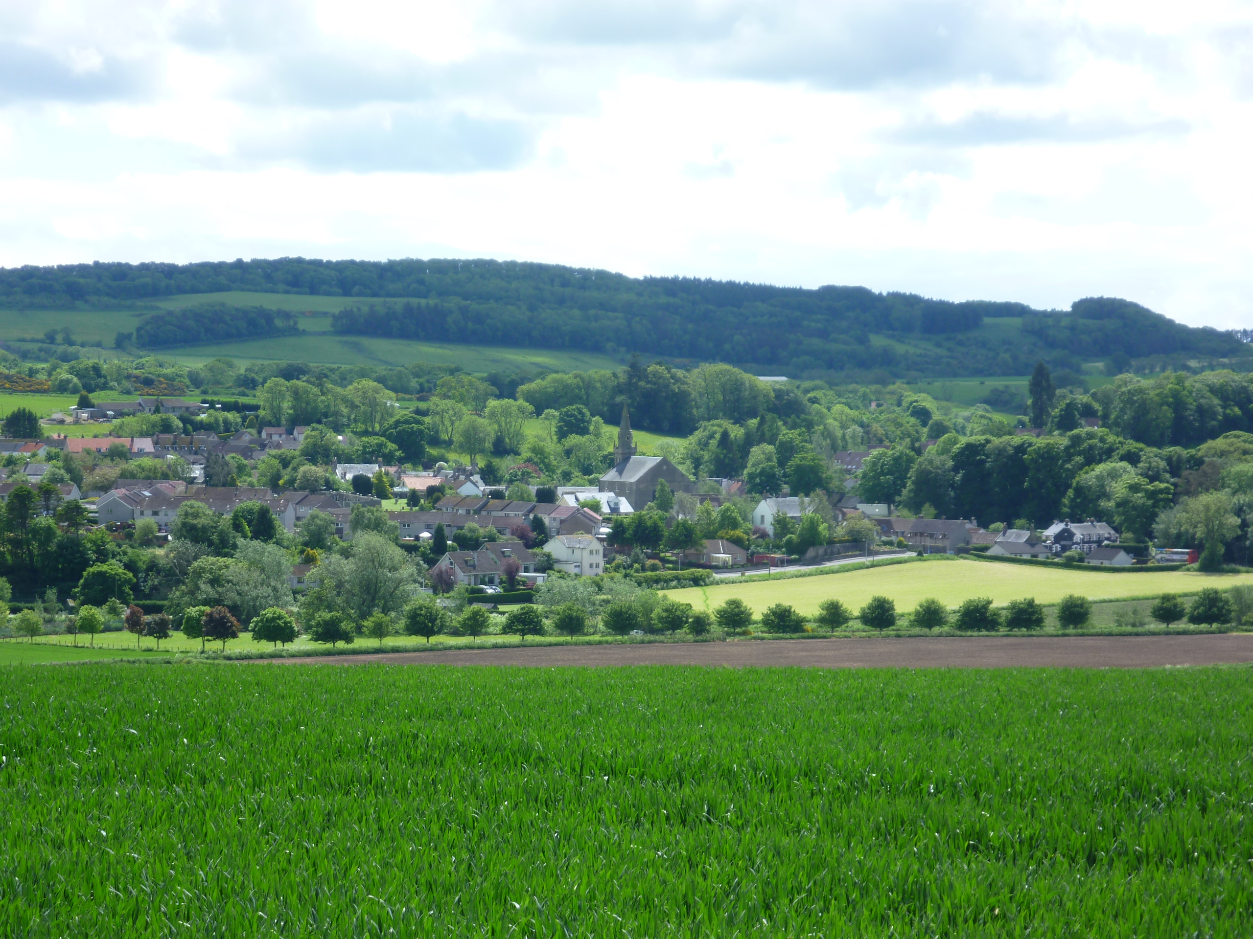
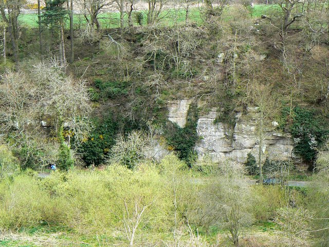
East Hill Strip is a wooded area located in Fife, Scotland. Situated to the east of the town of Cupar, this forested strip covers an area of approximately 200 acres. The woodland is predominantly composed of deciduous trees, including oak, beech, and birch, creating a lush and diverse ecosystem.

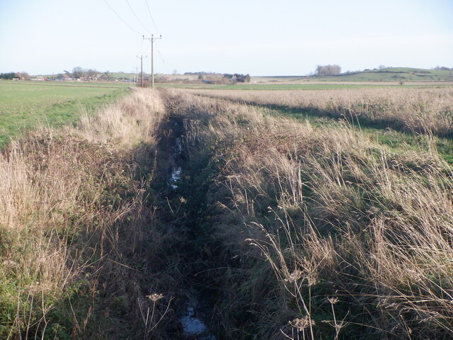
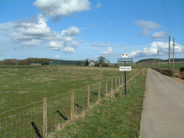
The East Hill Strip is a popular destination for outdoor enthusiasts, nature lovers, and walkers. Its well-maintained trails and paths provide opportunities for leisurely strolls and more challenging hikes. The forest offers a peaceful and serene environment, with the sounds of birds chirping and leaves rustling in the wind.

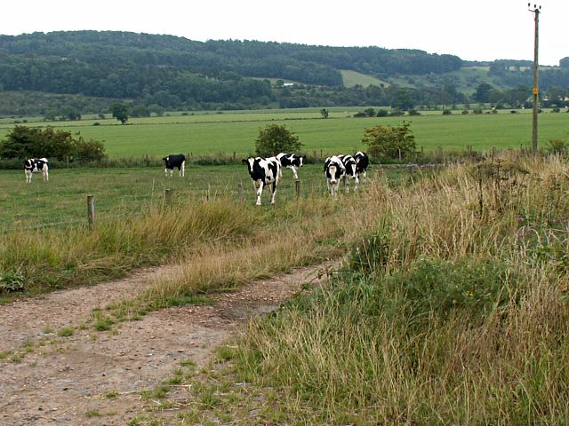
The woodland is also home to a variety of wildlife species. Visitors may spot deer, red squirrels, and a range of bird species such as woodpeckers and owls. The forest's diverse flora and fauna make it an excellent spot for nature photography and wildlife observation.

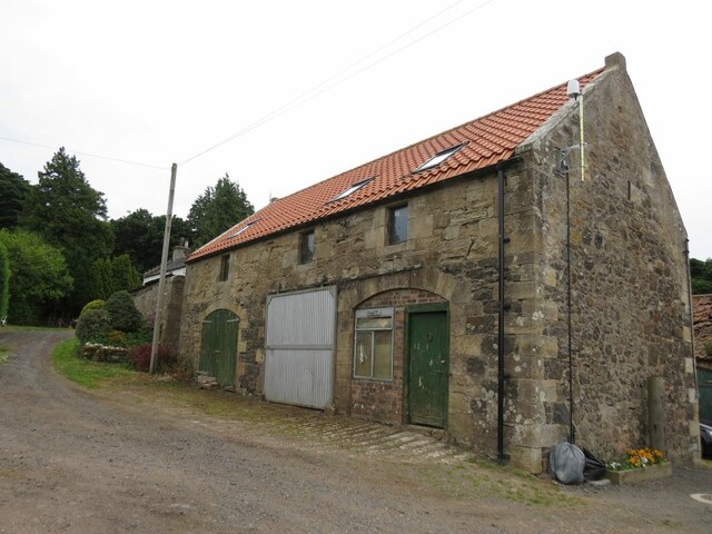
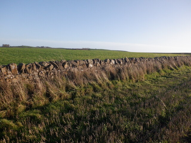
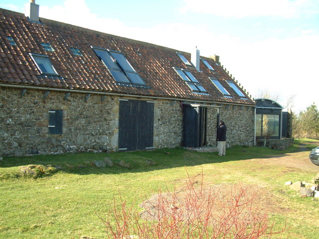
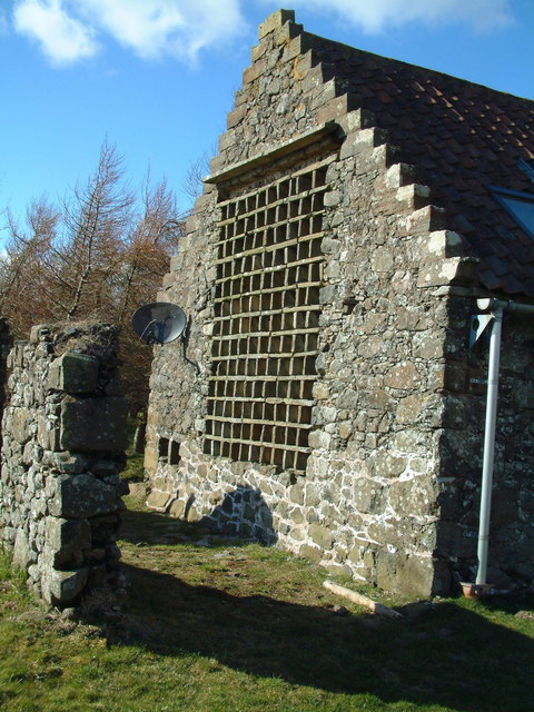
In addition to its natural beauty, the East Hill Strip has historical significance. The forest is believed to have been part of the ancient hunting grounds of Scottish kings. Remnants of old walls and structures can still be found within the woodland, adding to its charm and intrigue.

Overall, East Hill Strip in Fife offers a tranquil escape from the hustle and bustle of daily life. Whether one seeks a peaceful walk in nature, wildlife spotting, or a glimpse into Scotland's rich history, this wooded area provides a captivating experience for all who visit.

If you have any feedback on the listing, please let us know in the comments section below.

East Hill Strip Images

Images are sourced within 2km of 56.27631/-2.9428921 or Grid Reference NO4109. Thanks to Geograph Open Source API. All images are credited.

Harleswynd from the east
Building at Craighall Farm near Ceres
Cow Parsley on road to Newbigging of Craighall A straight road leading to Newbigging of Craighall, seen in distance on the right.
Cow Parsley on road to Newbigging of Craighall
A straight road leading to Newbigging of Craighall, seen in distance on the right.
Stubble and road, Callange
Ditch, Callange
Ditch, Callange
Dyke and arable, Callange Stubble fields.
Dyke and arable, Callange
Stubble fields.
Stubble, Callange
Stubble, Callange
Towards Fleecefaulds Looking out across farmland by Cassindilly towards Bankhead/Fleecefaulds in the wooded slopes.
Towards Fleecefaulds
Looking out across farmland by Cassindilly towards Bankhead/Fleecefaulds in the wooded slopes.
Pasture, Cassindilly Looking towards Fleecefaulds.
Pasture, Cassindilly
Looking towards Fleecefaulds.
South Callange Fresh ploughed land by South Callange Farm, Baldinnie.
South Callange
Fresh ploughed land by South Callange Farm, Baldinnie.
Scrapyard Old cars and scrap metal at Baldinnie
Scrapyard
Old cars and scrap metal at Baldinnie
Farm near Coaltown of Callange
Bandirran Farm Road
Bandirran Farm Road
Harleswynd Kennels
Harleswynd Kennels
Wood on the craig Forestry plantation on top of Gathercauld Craig
Wood on the craig
Forestry plantation on top of Gathercauld Craig
Bruntshiels Residential conversion of former farm buildings
Bruntshiels
Residential conversion of former farm buildings
Nesting boxes The architecy of the conversion of Bruntshield has preserved the pigeon nesting boxes that once formed part of a doocot here.
Nesting boxes
The architecy of the conversion of Bruntshield has preserved the pigeon nesting boxes that once formed part of a doocot here.
Dryad's Saddle An example of Dryad's Saddle or Polyporus squamosus. The lower saddle is around 400mm and the upper saddle is around 350mm, a very big fungus whatever way you look at it. Craighall Den, Fife. 

Known locally as witch's knickers from the old frilly bloomers of long ago. Source John Haynes family.
Dryad's Saddle
An example of Dryad's Saddle or Polyporus squamosus. The lower saddle is around 400mm and the upper saddle is around 350mm, a very big fungus whatever way you look at it. Craighall Den, Fife. Known locally as witch's knickers from the old frilly bloomers of long ago. Source John Haynes family.
Show me another place!

East Hill Strip is located at Grid Ref: NO4109 (Lat: 56.27631, Lng: -2.9428921)

Unitary Authority: Fife

Police Authority: Fife

What 3 Words

///uses.regarding.after. Near Cupar, Fife

Related Wikis

Craighall Castle

Craighall Castle is located in Ceres, Fife, Scotland. It was built in 1637 by Sir Thomas Hope but there was a tower of previous land owners before 1637...

Ceres, Fife

Ceres is a village in Fife, Scotland, located in a small glen approximately 2 miles (3 km) over the Ceres Moor from Cupar and 7 mi (11 km) from St Andrews...

Pitscottie

Pitscottie is a village in the Parish of Ceres, Fife, situated on the Ceres Burn at a road junction to the south of Dura Den and 3 miles (5 km) southeast...

Peat Inn

Peat Inn is a hamlet in Fife, Scotland, around 7 miles (11 kilometres) southeast of Cupar on the B940 and 6 miles (10 kilometres) southwest of St Andrews...

Dura Den

Dura Den is a small, 3 km-long wooded gorge that is located near Cupar in northeastern Fife, Scotland. This narrow cleft follows a course between the villages...

Hill of Tarvit

The Hill of Tarvit is a 20th-century mansion house and gardens in Fife, Scotland. They were designed by Sir Robert Lorimer and are today owned by the National...

North East Fife (UK Parliament constituency)

North East Fife is a county constituency in Fife, Scotland, represented in the House of Commons of the UK Parliament by Wendy Chamberlain of the Liberal...

St Andrews Burghs (UK Parliament constituency)

St Andrews Burghs was a district of burghs constituency, representing various burghs of Fife, Scotland, in the House of Commons of the Parliament of the...

Nearby Amenities

Located within 500m of 56.27631,-2.9428921
Power: pole
Lat/Long: 56.272256/-2.9399899
Power: pole
Lat/Long: 56.2728979/-2.9410401
Power: pole
Lat/Long: 56.2736699/-2.9423647
Power: pole
Lat/Long: 56.2744582/-2.9436936
Power: pole
Lat/Long: 56.275247/-2.945018
Power: pole
Lat/Long: 56.2760114/-2.9463011
Power: pole
Lat/Long: 56.2768143/-2.9476463
Power: pole
Lat/Long: 56.2774105/-2.9486474
Power: pole
Lat/Long: 56.2781551/-2.9499004
Power: pole
Lat/Long: 56.280597/-2.9446348
Power: pole
Lat/Long: 56.2802775/-2.9440897
Power: pole
Lat/Long: 56.2799615/-2.9435588
Power: pole
Lat/Long: 56.2803484/-2.9456946
Power: pole
Lat/Long: 56.2796352/-2.9451495
Power: pole
Lat/Long: 56.2790413/-2.9446753
Power: pole
Lat/Long: 56.278336/-2.9443694
Power: pole
Lat/Long: 56.2776667/-2.9440654
Power: pole
Lat/Long: 56.277026/-2.943801
Power: pole
Lat/Long: 56.2781892/-2.9431181
Power: pole
Lat/Long: 56.2779057/-2.9436247
Power: pole
Lat/Long: 56.2774659/-2.9428243
Power: pole
Lat/Long: 56.2772892/-2.9417524
Power: pole
Lat/Long: 56.2771509/-2.9408487
Power: pole
Lat/Long: 56.2769878/-2.9397828
Power: pole
Lat/Long: 56.2768623/-2.9389622
Power: pole
Lat/Long: 56.2767127/-2.9379582
Power: pole
Lat/Long: 56.2767161/-2.9371811
Power: pole
Lat/Long: 56.2767566/-2.9363726
Power: pole
Lat/Long: 56.2768038/-2.9356229
The data included in this document is from www.openstreetmap.org. The data is made available under ODbL.

Have you been to East Hill Strip?

Leave your review of East Hill Strip below (or comments, questions and feedback).