Balcormo Strip
Wood, Forest in Fife
Scotland
Balcormo Strip
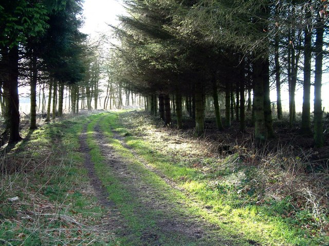
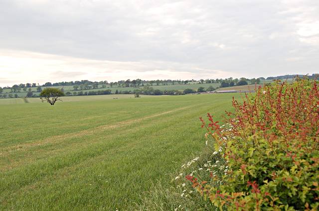
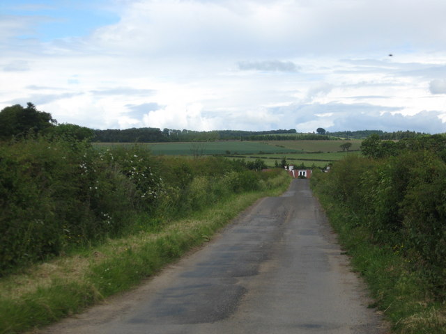
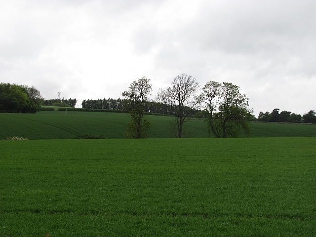
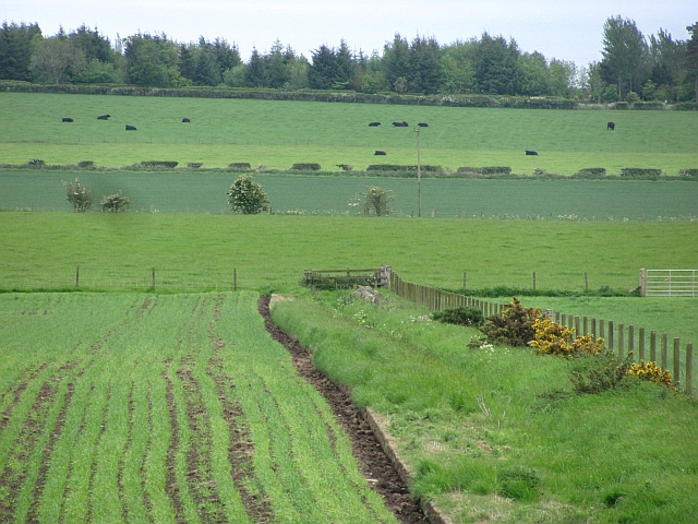
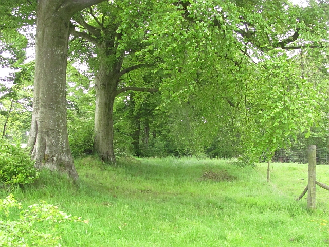
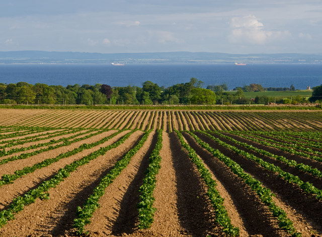
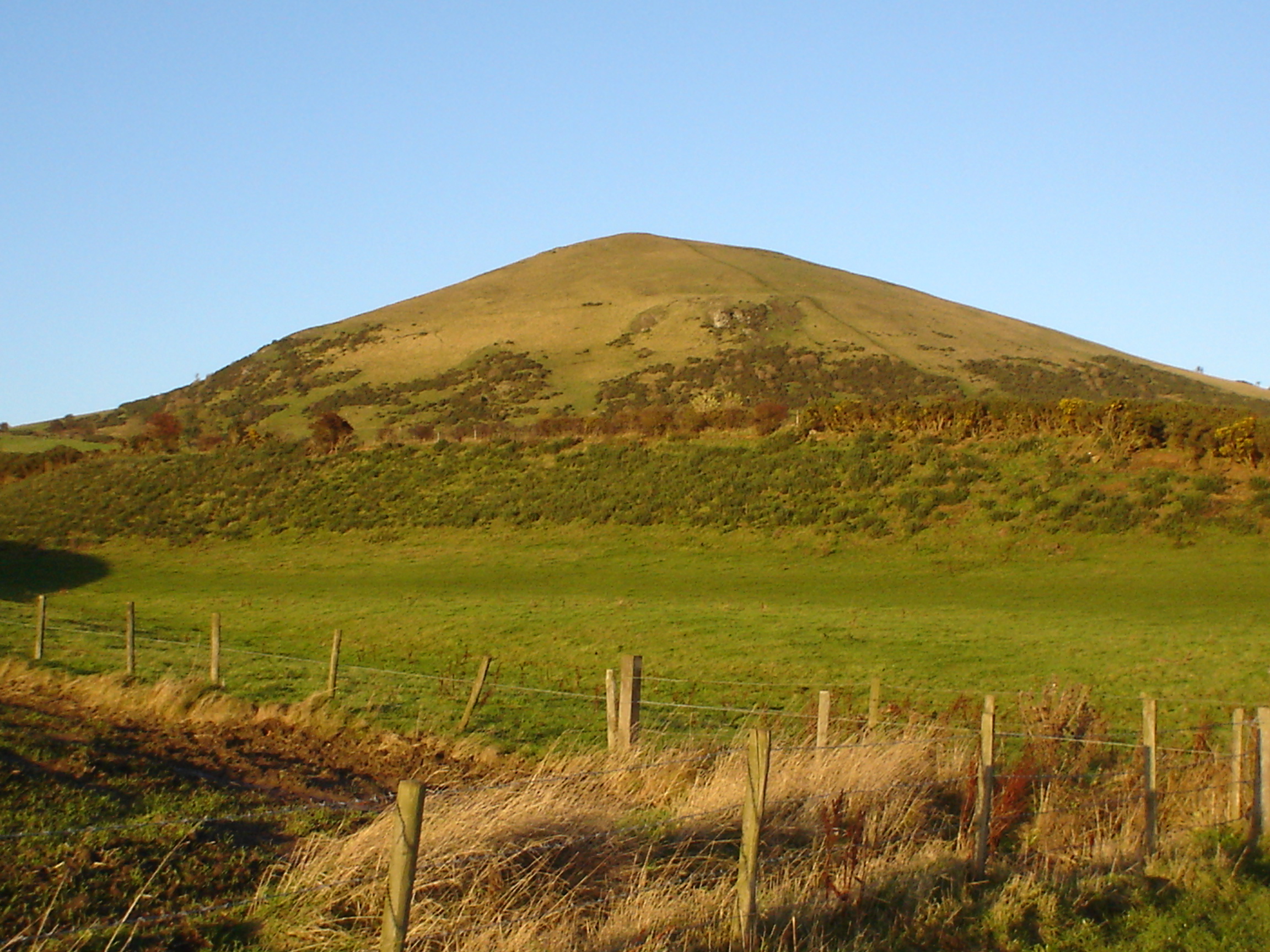
Balcormo Strip is a woodland area located in Fife, Scotland. Spanning approximately 200 acres, it is situated near the village of Balcormo, just a few miles north of the town of Leven. The strip is characterized by its dense forest cover, consisting mainly of various species of trees such as oak, beech, and birch.
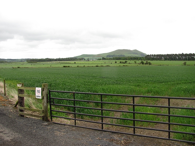
This woodland is renowned for its natural beauty and is a popular destination for outdoor enthusiasts, nature lovers, and hikers. The well-maintained paths and trails within the strip offer visitors the opportunity to explore the surroundings while immersing themselves in the peaceful and tranquil environment.
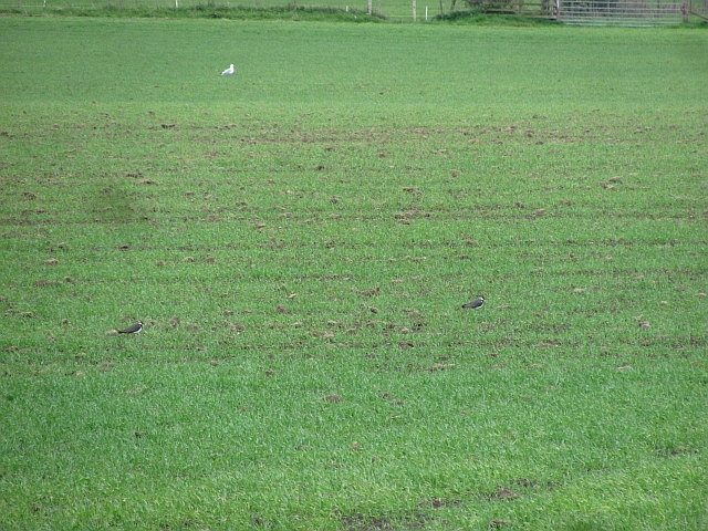
The diverse flora and fauna found in Balcormo Strip make it an important ecological site. It is home to a wide range of plant species, including bluebells, wood sorrel, and wild garlic, which carpet the forest floor during springtime. The woodland also provides a habitat for numerous bird species, such as woodpeckers, owls, and various woodland songbirds.
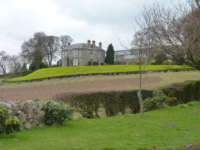
In addition to its natural features, Balcormo Strip has historical significance. The area was once part of the larger Balcormo Estate, which included a mansion and extensive farmland. Today, the woodland stands as a testament to the estate's past, with remnants of old stone walls and other historical features still visible.
Overall, Balcormo Strip offers a serene and picturesque setting, ideal for those seeking a peaceful retreat or an opportunity to connect with nature. Its combination of natural beauty, well-preserved trails, and historical significance make it a must-visit destination in Fife.
If you have any feedback on the listing, please let us know in the comments section below.
Balcormo Strip Images
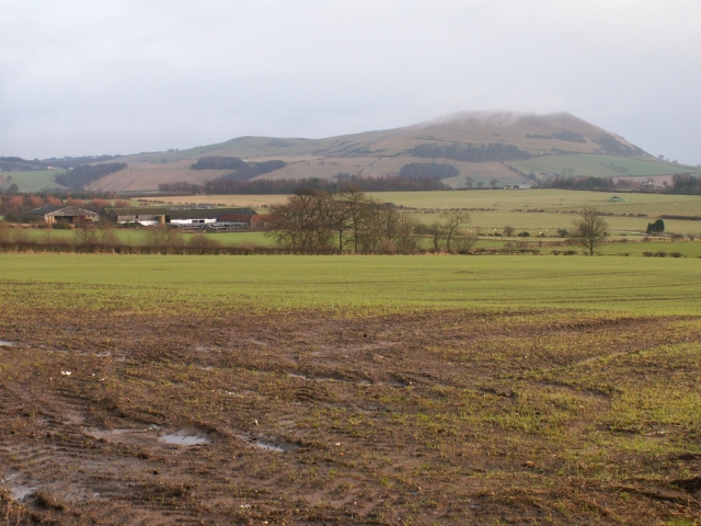
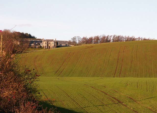
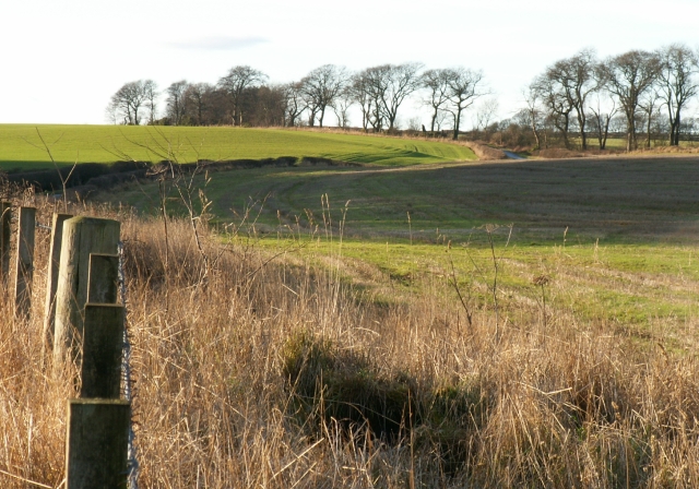
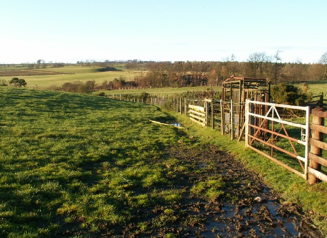
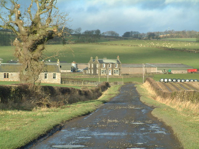
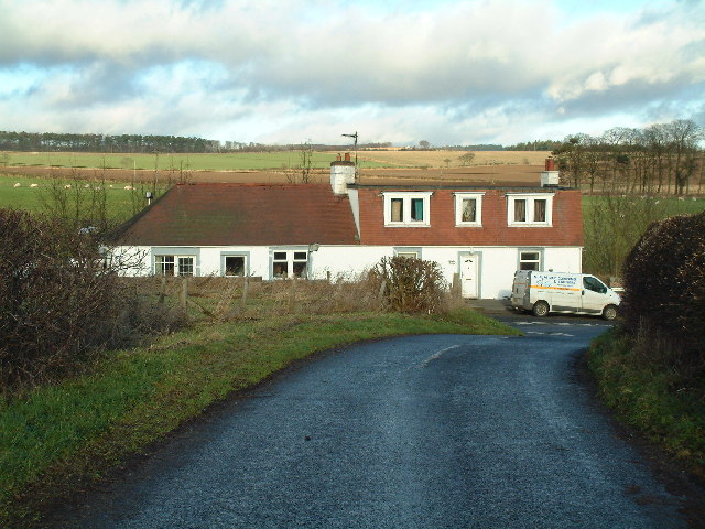
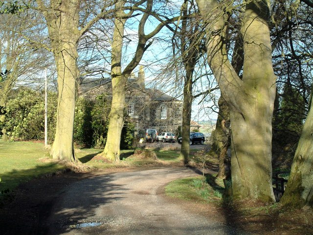
Images are sourced within 2km of 56.239152/-2.9715363 or Grid Reference NO3905. Thanks to Geograph Open Source API. All images are credited.

Balcormo Strip is located at Grid Ref: NO3905 (Lat: 56.239152, Lng: -2.9715363)
Unitary Authority: Fife
Police Authority: Fife
What 3 Words
///revisits.bottled.landmark. Near Lundin Links, Fife
Nearby Locations
Related Wikis

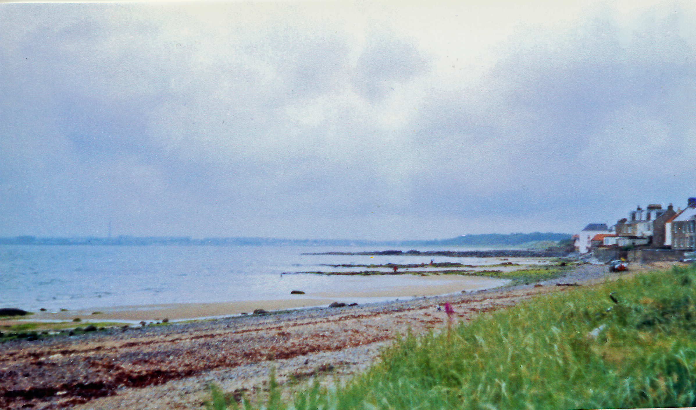
Lundin Links
Lundin Links is a small village in the parish of Largo on the south coast of Fife in eastern central Scotland. The village was largely built in the 19th...
Lundin Links railway station
Lundin Links railway station served the village of Lundin Links, Fife, Scotland from 1857 to 1965 on the Fife Coast Railway. == History == The station...
Largo, Fife
Largo (Scottish Gaelic: An Leargach) is a parish in Fife, Scotland containing the villages of Upper Largo or Kirkton of Largo, Lower Largo and Lundin Links...

Lower Largo
Lower Largo or Seatown of Largo is a village in Fife, Scotland, situated on Largo Bay along the north side of the Firth of Forth. It is east of, and contiguous...
Nearby Amenities
Located within 500m of 56.239152,-2.9715363Have you been to Balcormo Strip?
Leave your review of Balcormo Strip below (or comments, questions and feedback).