Light Oaks

Wood, Forest in Selkirkshire

Scotland

Light Oaks

Track over Howford Hill A waymarked route. This section has seen little recent use by agricultural vehicles.
Track over Howford Hill Credit: Richard Webb

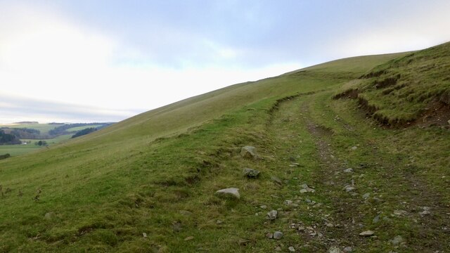
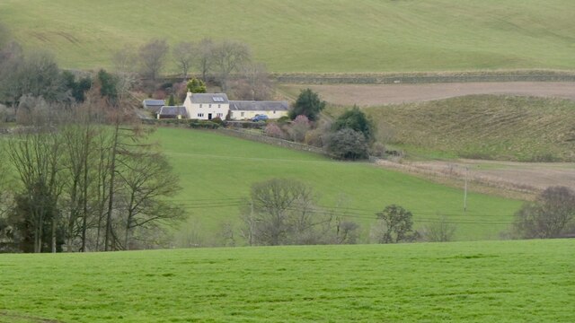
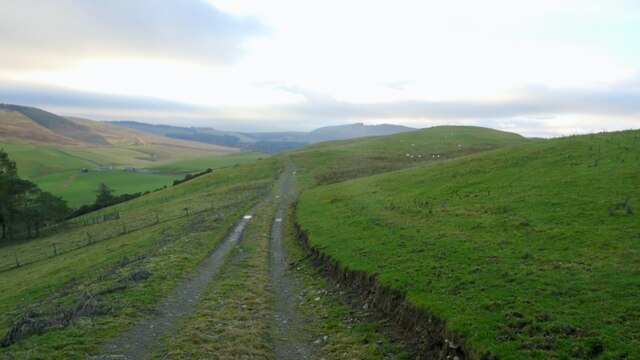
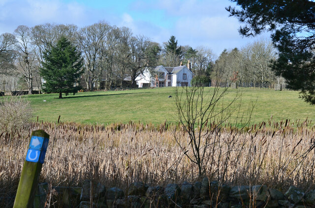
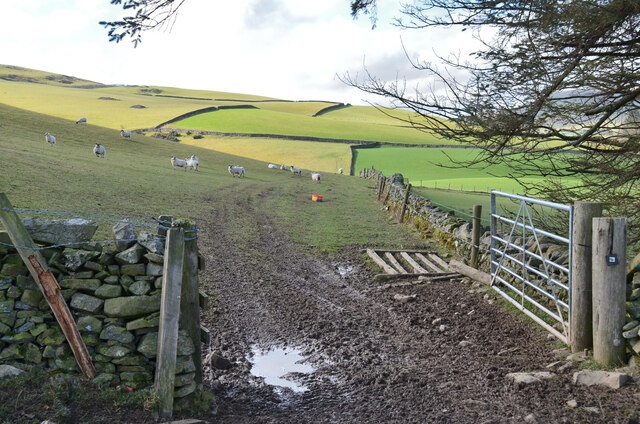
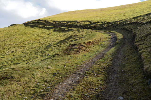
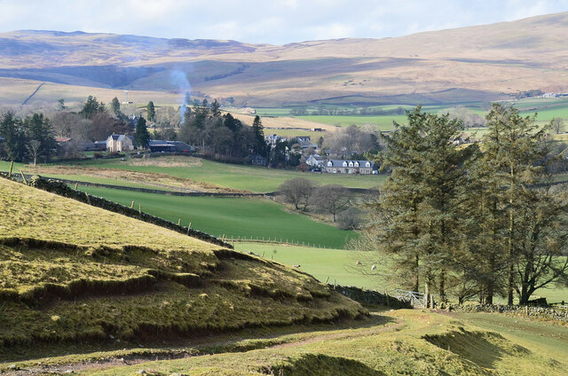
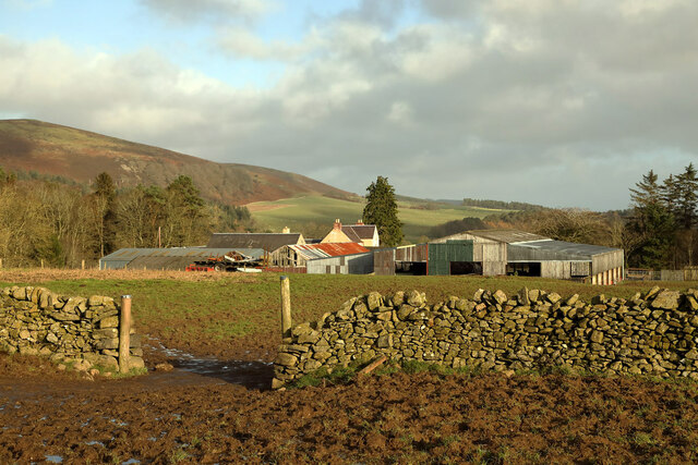
Light Oaks is a small woodland located in Selkirkshire, a historic county in the Scottish Borders region of Scotland. Situated in the southern uplands of the country, it covers an area of approximately 200 acres. The woodland is known for its picturesque beauty and diverse ecosystem, making it a popular destination for nature lovers and outdoor enthusiasts.

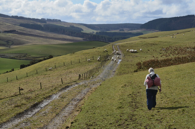
Light Oaks is primarily composed of native species such as oak, beech, and birch trees, which create a dense and vibrant forest canopy. The woodland also features a variety of flora, including bluebells, ferns, and mosses, adding to its enchanting appeal. The forest floor is home to a plethora of wildlife, including deer, squirrels, and a wide range of bird species.

The woodland is intersected by several walking trails and paths, allowing visitors to explore its natural wonders at their own pace. These paths are well-maintained and provide easy access to different parts of the forest. Additionally, there are designated picnic areas and benches scattered throughout the woodland, providing visitors with opportunities to relax and enjoy the peaceful surroundings.

Light Oaks is managed by a local conservation organization, which ensures the preservation of its natural habitat and biodiversity. The organization also organizes educational programs and guided tours to promote awareness and appreciation of the woodland's ecological importance.

Overall, Light Oaks in Selkirkshire offers a tranquil and immersive experience for those seeking a connection with nature. Its lush vegetation, diverse wildlife, and well-maintained trails make it a must-visit destination for anyone interested in exploring the beauty of Scotland's woodlands.

If you have any feedback on the listing, please let us know in the comments section below.

Light Oaks Images

Images are sourced within 2km of 55.518083/-2.9538946 or Grid Reference NT3925. Thanks to Geograph Open Source API. All images are credited.

Track over Howford Hill A waymarked route. This section has seen little recent use by agricultural vehicles.
Track over Howford Hill
A waymarked route. This section has seen little recent use by agricultural vehicles.
Brockhill View across the hidden from sight Ettrick Water.
Brockhill
View across the hidden from sight Ettrick Water.
Road, Mid Hill Serving some buildings to the south and a quarry on Howford Hill.
Road, Mid Hill
Serving some buildings to the south and a quarry on Howford Hill.
Ettrick Bridge View from Helmburn Hill.
Ettrick Bridge
View from Helmburn Hill.
Summit, Helmburn Hill
Road (B7009) in Ettrickbridge Looking westward.
Road (B7009) in Ettrickbridge
Looking westward.
Road (B7009) leaving the confines of Ettrickbridge Looking north-eastward.
Road (B7009) leaving the confines of Ettrickbridge
Looking north-eastward.
Ordnance Survey Cut Mark with Bolt This mark and bolt can be found on the wall of Kirkhope parish Church, Ettrickbridge.
The recorded details give a height of 169.8364 metres above sea level.
For more details see : <span class="nowrap"><a title="https://www.bench-marks.org.uk/bm161144" rel="nofollow ugc noopener" href="https://www.bench-marks.org.uk/bm161144">Link</a><img style="margin-left:2px;" alt="External link" title="External link - shift click to open in new window" src="https://s1.geograph.org.uk/img/external.png" width="10" height="10"/></span>
Ordnance Survey Cut Mark with Bolt
This mark and bolt can be found on the wall of Kirkhope parish Church, Ettrickbridge. The recorded details give a height of 169.8364 metres above sea level. For more details see : LinkExternal link
The Ettrick Water at Ettrickbridge Looking upstream from the bridge.
The Ettrick Water at Ettrickbridge
Looking upstream from the bridge.
Bulrushes at Howford Bulrushes in a marshy corner below the house. The waymark indicates the Buccleuch Country Ride, a 59 mile (95 km) route between the Ettrick and Yarrow valleys.
Bulrushes at Howford
Bulrushes in a marshy corner below the house. The waymark indicates the Buccleuch Country Ride, a 59 mile (95 km) route between the Ettrick and Yarrow valleys.
Sheep pasture, Ettrickbridge Sheep on the north side of Howford Hill.
Sheep pasture, Ettrickbridge
Sheep on the north side of Howford Hill.
Track on Howford Hill A well-graded route to the hill above Ettrickbridge.
Track on Howford Hill
A well-graded route to the hill above Ettrickbridge.
Ettrickbridge from Howford Hill
Track on Midhill The track is part of a circular walk from Ettrickbridge and also on the Buccleuch Country Ride.
Track on Midhill
The track is part of a circular walk from Ettrickbridge and also on the Buccleuch Country Ride.
Track to Ettrickbridge The track descending the western side of Helmburn Hill. Kirkhope Tower is in view top left.
Track to Ettrickbridge
The track descending the western side of Helmburn Hill. Kirkhope Tower is in view top left.
Ettrick Bridge and Ettrickbridge The village seen from the path below Helmburn Cottage.
Ettrick Bridge and Ettrickbridge
The village seen from the path below Helmburn Cottage.
Ettrickbridge The main street is the B7009 to Selkirk.
Ettrickbridge
The main street is the B7009 to Selkirk.
Helmburn Farm
Helmburn Farm
Show me another place!

Light Oaks is located at Grid Ref: NT3925 (Lat: 55.518083, Lng: -2.9538946)

Unitary Authority: The Scottish Borders

Police Authority: The Lothians and Scottish Borders

What 3 Words

///webcams.trickles.deprives. Near Selkirk, Scottish Borders

Related Wikis

Ettrickbridge

Ettrickbridge (Scottish Gaelic: Drochaid Eadaraig) is a village situated in the Scottish Borders region of Scotland, 7 miles (11 km) from the nearby town...

Kirkhope Tower

Kirkhope Tower is a Scottish Pele, located in the Ettrick Valley, in the historic county of Selkirkshire, now a division of the Scottish Borders. The tower...

Aikwood Tower

Aikwood Tower (formerly known as Oakwood Tower) is a 16th-century tower house in the Scottish Borders area of Scotland, 4 miles (6 kilometres) southwest...

Oakwood Roman Fort and Camp

Oakwood Roman Fort and Camp is a British archaeological site, a Roman fort and nearby Roman camp, about 3.5 miles (5.6 km) south-west of Selkirk in the...

Have you been to Light Oaks?

Leave your review of Light Oaks below (or comments, questions and feedback).