Jeffrey's Wood

Wood, Forest in Midlothian

Scotland

Jeffrey's Wood

Road by Preston Mains Midlothian yellow road.
Road by Preston Mains Credit: Richard Webb

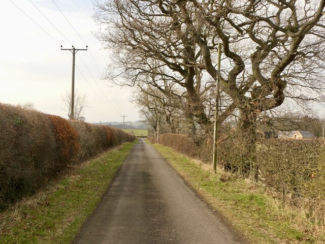
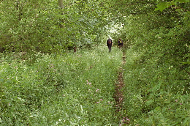
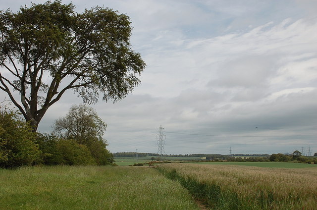
Jeffrey's Wood is a dense forest located in Midlothian, Scotland. Covering an area of approximately 500 acres, it is known for its stunning natural beauty and diverse array of flora and fauna. The forest is named after the famous Scottish botanist, John Jeffrey, who extensively studied the region's plant life in the 19th century.

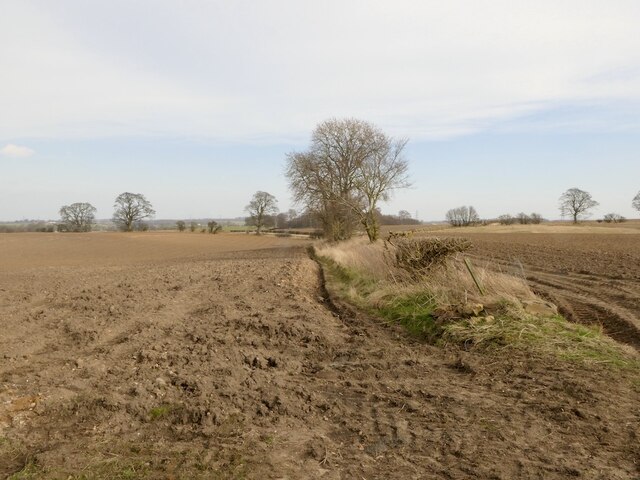
The wood is characterized by its towering trees, primarily consisting of native species such as oak, birch, and beech. These trees create a dense canopy that provides a cool and shaded environment, making it an ideal spot for nature lovers and hikers. The forest floor is adorned with a rich carpet of wildflowers, ferns, and mosses, creating a picturesque landscape.

Jeffrey's Wood is home to a variety of wildlife, including deer, foxes, badgers, and numerous bird species. Birdwatchers flock to the area to catch a glimpse of rare species such as the Scottish crossbill and the capercaillie. The forest also supports a diverse insect population, with butterflies and dragonflies adding a splash of color to the surroundings.

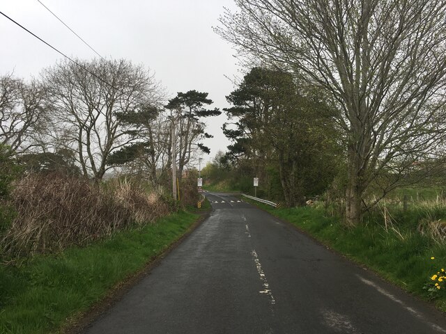
Visitors to Jeffrey's Wood can explore its numerous walking trails and enjoy the tranquility of nature. The forest is well-maintained, with clear signposts and picnic areas scattered throughout, providing a convenient place to rest and enjoy a packed lunch. The wood is open to the public year-round, allowing visitors to experience its beauty in all seasons, from the vibrant colors of autumn to the fresh greenery of spring. Overall, Jeffrey's Wood offers a captivating escape into nature, where visitors can immerse themselves in the peacefulness and natural wonders of Midlothian.

If you have any feedback on the listing, please let us know in the comments section below.

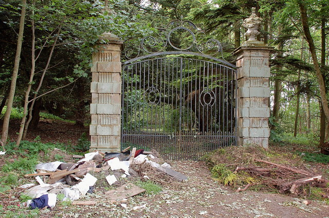
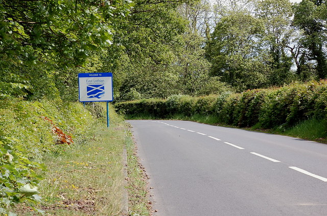
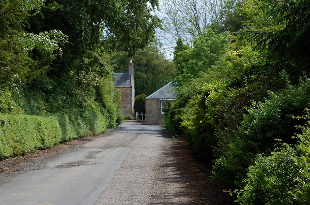
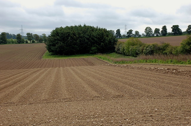
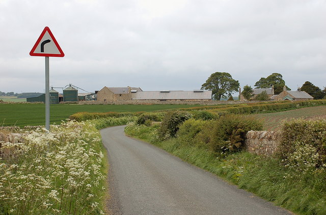
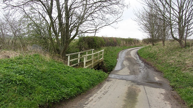
Jeffrey's Wood Images

Images are sourced within 2km of 55.879622/-2.9624714 or Grid Reference NT3965. Thanks to Geograph Open Source API. All images are credited.

Road by Preston Mains Midlothian yellow road.
Road by Preston Mains
Midlothian yellow road.
Ploughed fields near Pathhead Dry soil awaiting sowing, probably spring barley.
Ploughed fields near Pathhead
Dry soil awaiting sowing, probably spring barley.
Temporary road, The Murrays Work on the power line.
Temporary road, The Murrays
Work on the power line.
Power lines, The Murrays A complex arrangement of power lines one currently being refurbished.
Power lines, The Murrays
A complex arrangement of power lines one currently being refurbished.
Ormiston Mains
Ormiston Mains
Round bales, Preston
What should we call our cycle route? Struggling to find the connection between Covid-19 and safe passing of a bike - other than that there were a lot more bikes around as they were a perfect get out of lockdown free card.
A crossroads between Edgehead and Pathhead in Midlothian.
What should we call our cycle route?
Struggling to find the connection between Covid-19 and safe passing of a bike - other than that there were a lot more bikes around as they were a perfect get out of lockdown free card. A crossroads between Edgehead and Pathhead in Midlothian.
B6367 near Pathhead
B6367 near Pathhead
Junction of the B6367 and A68 at Pathhead
B6372 towards Gorebridge
Overgrown track near Preston Hall Summer growth trying its best to obscure the track leading to the B6367 at the N boundary of the estate.
Overgrown track near Preston Hall
Summer growth trying its best to obscure the track leading to the B6367 at the N boundary of the estate.
Gates north of Preston Hall Estate gates at a now disused entrance with the sadly inevitable fringe of dumped rubbish.
Gates north of Preston Hall
Estate gates at a now disused entrance with the sadly inevitable fringe of dumped rubbish.
East Lothian boundary sign, B6367 The wording on the sign reads:

Welcome to
East Lothian

Birthplace of Scotland's Flag  832 AD

in reference to the Battle of Athelstaneford between a force of Picts and Scots and a Northumbrian army - see <a href="https://www.geograph.org.uk/photo/817671">NT5377 : The Saltire, National Flag of Scotland</a>.
East Lothian boundary sign, B6367
The wording on the sign reads: Welcome to East Lothian Birthplace of Scotland's Flag 832 AD in reference to the Battle of Athelstaneford between a force of Picts and Scots and a Northumbrian army - see NT5377 : The Saltire, National Flag of Scotland.
Road to Rose Mains A farm access road from the B6367.
Road to Rose Mains
A farm access road from the B6367.
Barley field near Remote The oddly named Remote farm is to the west, though is not particularly distant compared with many hill farms - perhaps there is another explanation.
Barley field near Remote
The oddly named Remote farm is to the west, though is not particularly distant compared with many hill farms - perhaps there is another explanation.
Ploughed field near Loanhead In the farming country of the Midlothian / East Lothian border.
Ploughed field near Loanhead
In the farming country of the Midlothian / East Lothian border.
Buildings at Loanhead The path shown between Loanhead and Pathhead is a snare and a delusion - not very easy to follow.
Buildings at Loanhead
The path shown between Loanhead and Pathhead is a snare and a delusion - not very easy to follow.
Ford, Kinchie Burn A very small watercourse which does not even warrant a road sign.
Ford, Kinchie Burn
A very small watercourse which does not even warrant a road sign.
Show me another place!

Jeffrey's Wood is located at Grid Ref: NT3965 (Lat: 55.879622, Lng: -2.9624714)

Unitary Authority: Midlothian

Police Authority: The Lothians and Scottish Borders

What 3 Words

///presides.obscuring.tones. Near Ormiston, East Lothian

Nearby Locations

Jeffrey's Wood

Related Wikis

Preston Hall, Midlothian

Preston Hall, or Prestonhall, is a late-18th-century mansion in Midlothian, to the south of Edinburgh, Scotland. It is located 1.5 kilometres (0.93 mi...

Oxenfoord Castle

Oxenfoord Castle is a country house in Midlothian, Scotland. It is located 1 kilometre (0.62 mi) north of Pathhead, Midlothian, and 6 kilometres (3.7 mi...

Pathhead, Midlothian

Pathhead village is a conservation area in Midlothian, Scotland. == Location == Pathhead is located around 4 miles (6.4 km) south east of Dalkeith and...

Cranston, Midlothian

Cranston is a parish of Midlothian, Scotland, lying 4+1⁄4 miles (6.8 kilometres) south-east of Dalkeith. It is bounded by the parishes of Inveresk and...

Ormiston Castle

Ormiston Castle is a ruined 16th-century tower house, about 4 miles (6.4 km) east of Dalkeith, East Lothian, Scotland, and north of Ormiston Mains.It was...

Dewartown

Dewartown is a small hamlet in Midlothian, Scotland (near Pathhead and Mayfield). Its name relates to the Dewar family who owned the nearby Vogrie House...

Edgehead

Edgehead (also known as Chesterhill) is a village in Midlothian, Scotland. == Location == Edgehead is situated east of Dewartown and Mayfield, north-west...

Peaston

Peaston is a small settlement on the B6371 road in the parish of Ormiston in East Lothian, Scotland, about 14 miles (23 km) south-east of Edinburgh, 7...

Nearby Amenities

Located within 500m of 55.879622,-2.9624714
Post Box
Ref: EH37 250
Lat/Long: 55.882184/-2.9595513
Rose Mains
Place: locality
Lat/Long: 55.8826819/-2.9572104
Give Way
Direction: forward
Lat/Long: 55.8768956/-2.9622387
Give Way
Direction: forward
Lat/Long: 55.8768813/-2.9624577
Power: pole
Lat/Long: 55.8772463/-2.9624279
Power: pole
Lat/Long: 55.8768874/-2.9617465
Power: pole
Lat/Long: 55.8764047/-2.9607817
Power: pole
Lat/Long: 55.8759289/-2.9597857
The data included in this document is from www.openstreetmap.org. The data is made available under ODbL.

Have you been to Jeffrey's Wood?

Leave your review of Jeffrey's Wood below (or comments, questions and feedback).