The Wilderness
Wood, Forest in Fife
Scotland
The Wilderness
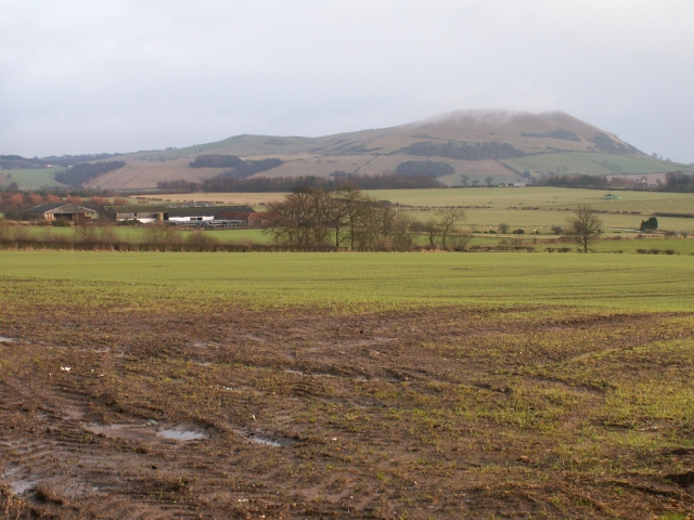
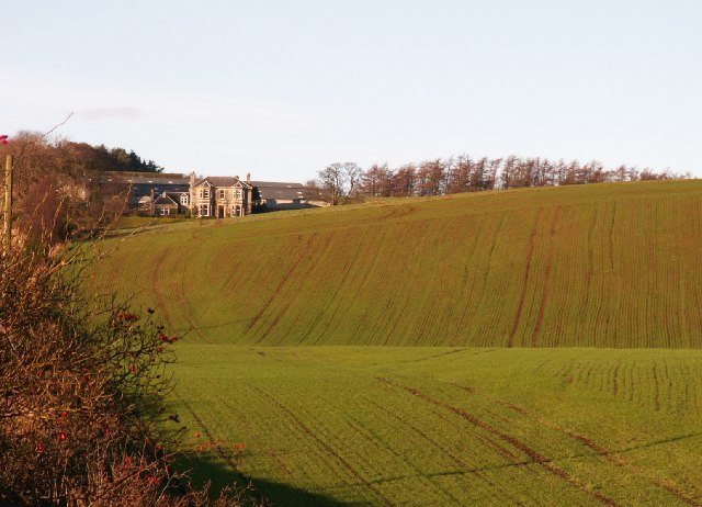
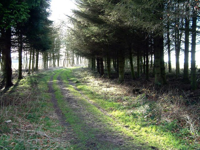
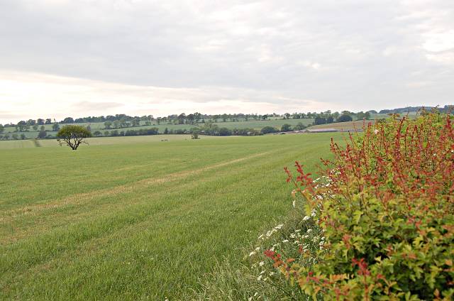
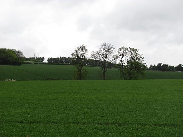
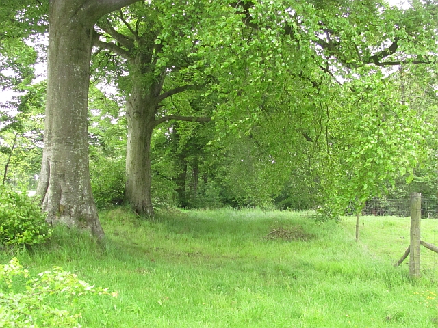
The Wilderness, located in Fife, Scotland, is a stunning woodland area that spans approximately 200 acres. It is a popular destination for nature lovers and outdoor enthusiasts due to its diverse range of flora and fauna. The woodland consists mainly of native trees such as oak, birch, and pine, creating a beautiful and serene environment.
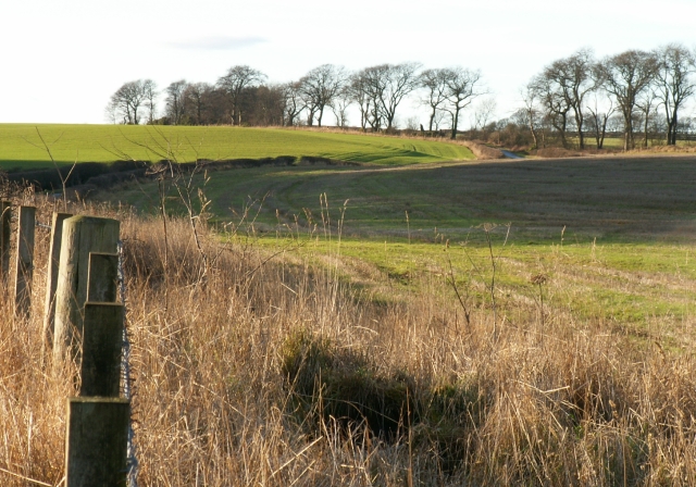
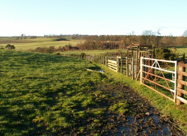
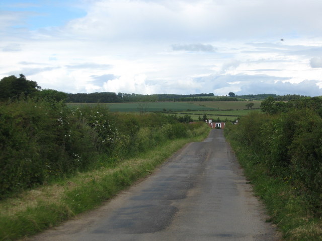
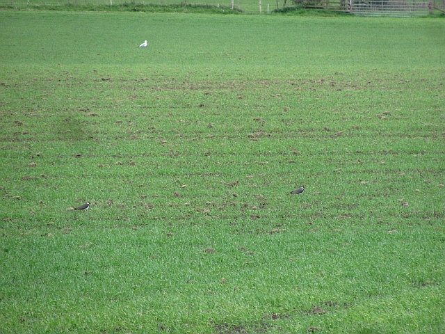
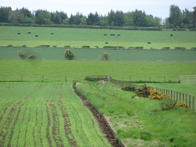
The Wilderness offers various walking trails and paths that allow visitors to explore the area at their own pace. These trails are well-maintained and provide a great opportunity to observe the local wildlife, including deer, foxes, and a variety of bird species. The woodlands are also home to a wide range of plant life, including bluebells, wildflowers, and ferns, making it a haven for botany enthusiasts.
The area is rich in history and has some fascinating archaeological sites, including a prehistoric burial mound and the remains of an Iron Age fort. These historical features add an additional layer of interest for visitors looking to delve into the past.
The Wilderness is well-equipped with amenities to cater to visitors' needs. There are picnic areas and benches scattered throughout the woodland, providing the perfect spot to relax and enjoy a packed lunch. Additionally, there are information boards at key points, offering insights into the local wildlife, history, and conservation efforts.
Overall, The Wilderness in Fife is a captivating woodland area that offers a tranquil escape from the hustle and bustle of everyday life. Its natural beauty, abundance of wildlife, and historical significance make it an ideal destination for nature enthusiasts and those seeking a peaceful retreat.
If you have any feedback on the listing, please let us know in the comments section below.
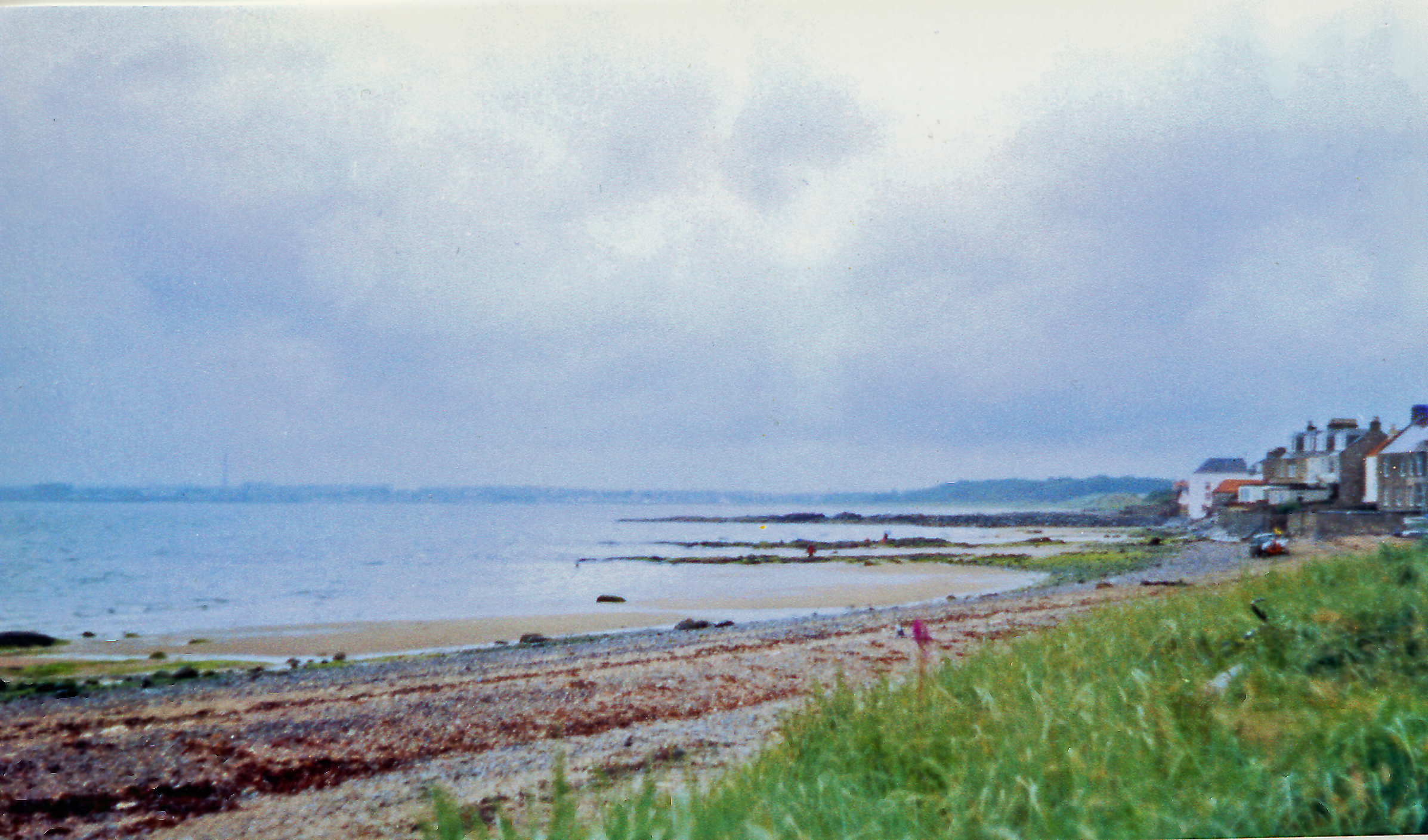
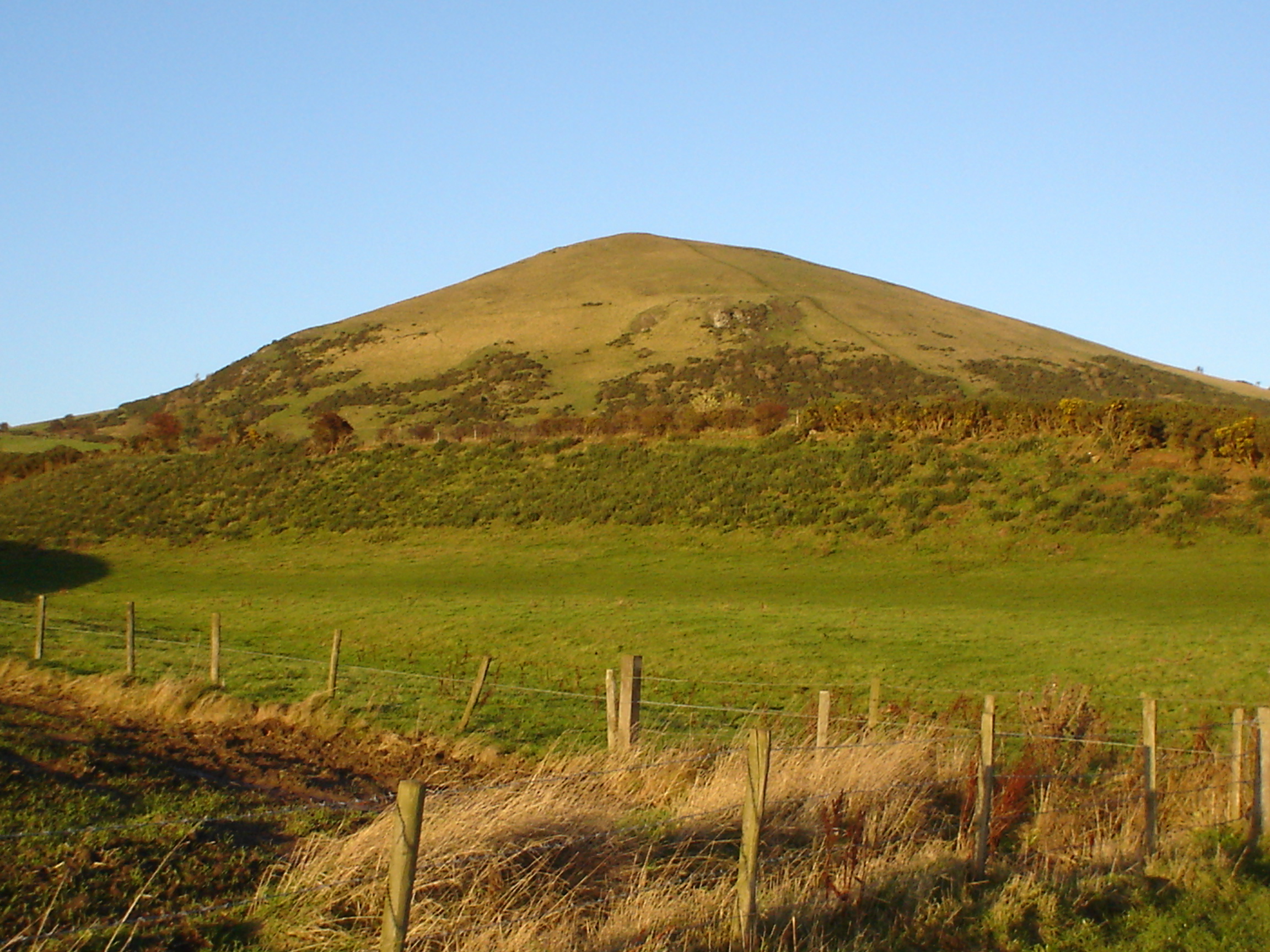
The Wilderness Images
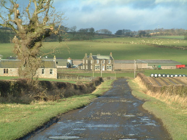
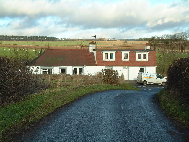
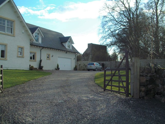
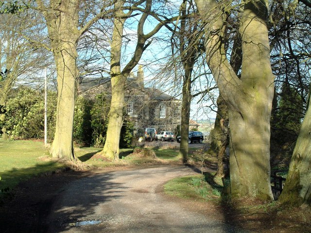
Images are sourced within 2km of 56.240789/-2.9804196 or Grid Reference NO3905. Thanks to Geograph Open Source API. All images are credited.

The Wilderness is located at Grid Ref: NO3905 (Lat: 56.240789, Lng: -2.9804196)
Unitary Authority: Fife
Police Authority: Fife
What 3 Words
///pickles.scribbled.immunity. Near Lundin Links, Fife
Nearby Locations
Related Wikis

Lundin Links
Lundin Links is a small village in the parish of Largo on the south coast of Fife in eastern central Scotland. The village was largely built in the 19th...
Lundin Links railway station
Lundin Links railway station served the village of Lundin Links, Fife, Scotland from 1857 to 1965 on the Fife Coast Railway. == History == The station...
Largo, Fife
Largo (Scottish Gaelic: An Leargach) is a parish in Fife, Scotland containing the villages of Upper Largo or Kirkton of Largo, Lower Largo and Lundin Links...

Lower Largo
Lower Largo or Seatown of Largo is a village in Fife, Scotland, situated on Largo Bay along the north side of the Firth of Forth. It is east of, and contiguous...
Nearby Amenities
Located within 500m of 56.240789,-2.9804196Have you been to The Wilderness?
Leave your review of The Wilderness below (or comments, questions and feedback).