Auchnadoes Plantation

Wood, Forest in Angus

Scotland

Auchnadoes Plantation

After Storm Arwen The results of a horrific storm on 26 November 2021
After Storm Arwen Credit: jamesnicoll

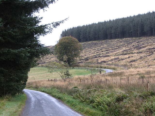
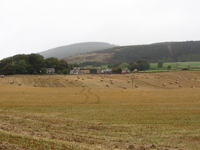
Auchnadoes Plantation is a lush and sprawling woodland located in the county of Angus, Scotland. Covering an area of approximately 500 acres, the plantation is known for its diverse range of trees and vibrant wildlife. The plantation is situated near the village of Auchnadoes, offering visitors easy access to this natural haven.

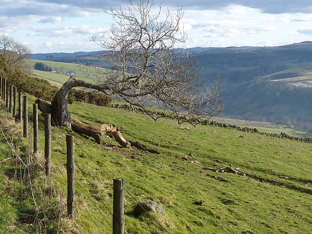
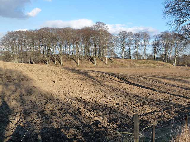
The woodland is predominantly composed of native tree species such as oak, birch, and beech, creating a picturesque and serene landscape. These trees provide a rich habitat for a variety of animals, including red squirrels, badgers, and numerous bird species. Walking through the plantation, visitors may catch a glimpse of these creatures amidst the dense foliage.

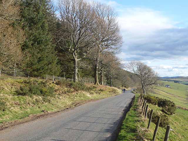
Auchnadoes Plantation is a popular destination for nature enthusiasts and outdoor adventurers. It offers a network of well-maintained walking trails that wind through the woodland, allowing visitors to explore the plantation at their own pace. These trails range in difficulty, catering to both casual strollers and avid hikers. Along the way, informative signposts provide interesting facts about the flora and fauna found within the plantation.

The plantation also serves as an important site for conservation efforts. Managed by local authorities, Auchnadoes Plantation ensures the preservation of its natural resources and the protection of its delicate ecosystem. Conservation initiatives include tree planting, invasive species control, and wildlife monitoring.

Overall, Auchnadoes Plantation offers a peaceful and captivating escape into the heart of Angus. Its breathtaking scenery, abundant wildlife, and commitment to conservation make it a must-visit destination for nature lovers and those seeking a tranquil retreat.

If you have any feedback on the listing, please let us know in the comments section below.

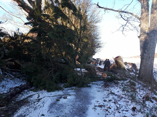
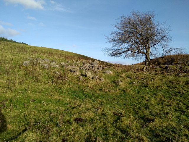
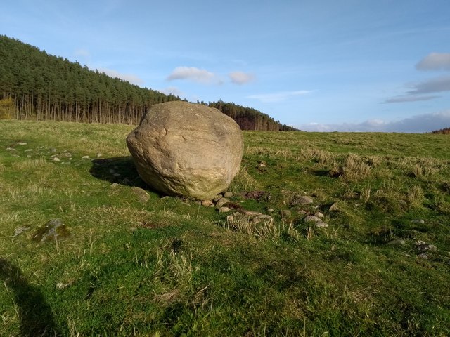
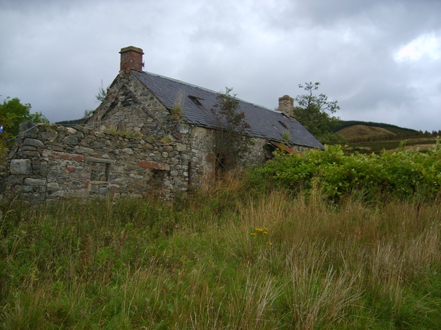
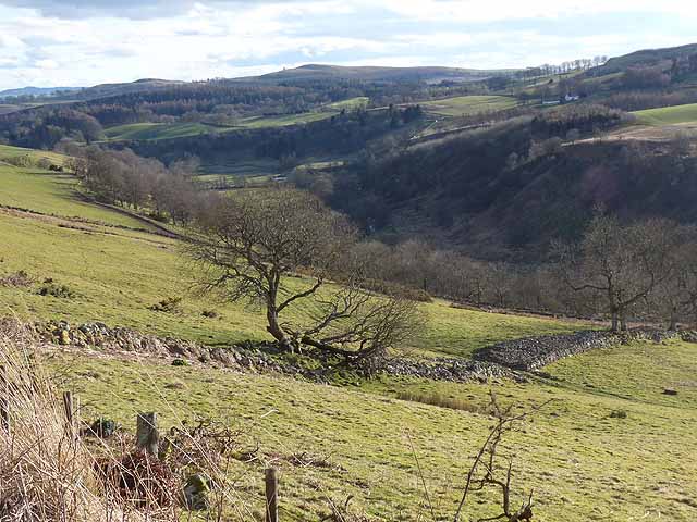
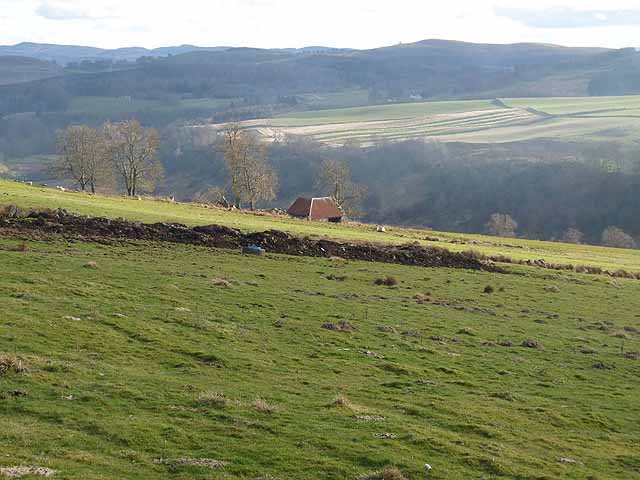
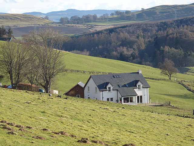
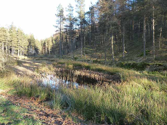
Auchnadoes Plantation Images

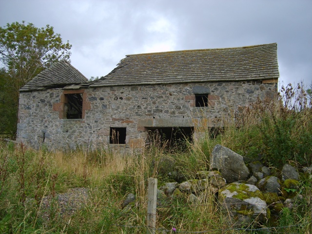
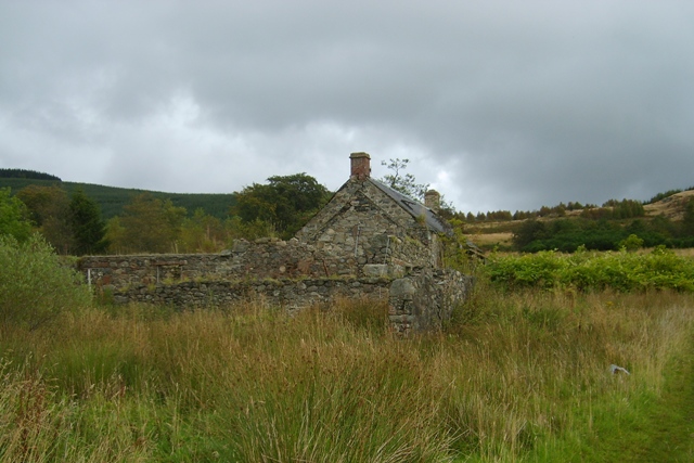
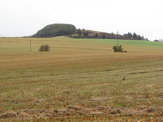
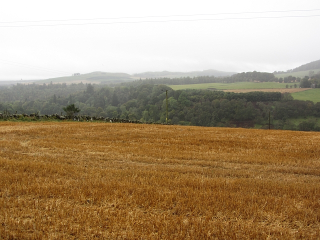
Images are sourced within 2km of 56.737523/-3.0129191 or Grid Reference NO3861. Thanks to Geograph Open Source API. All images are credited.

After Storm Arwen The results of a horrific storm on 26 November 2021
After Storm Arwen
The results of a horrific storm on 26 November 2021
Ruins of Greenhow Depicted on 19th century OS maps as Greenhow.
Ruins of Greenhow
Depicted on 19th century OS maps as Greenhow.
Boulder An erratic, I think. The southern slope of Auld Man behind.
Boulder
An erratic, I think. The southern slope of Auld Man behind.
Bogside Farmhouse Derelict farm in Glenmoy
Bogside Farmhouse
Derelict farm in Glenmoy
Old mill at Bogside The threshing mill machinery was located in the left side of this building. The water was supplied from a small dam by the roadside. The upper part of this building was a loft.
Old mill at Bogside
The threshing mill machinery was located in the left side of this building. The water was supplied from a small dam by the roadside. The upper part of this building was a loft.
Bogside Farmhouse Another view of the derelict farm
Bogside Farmhouse
Another view of the derelict farm
Stubble and the Knock One of many pheasants in the stubble. The Cortachy area is densely stocked. The background hill is Knock Hill. NO4060
Stubble and the Knock
One of many pheasants in the stubble. The Cortachy area is densely stocked. The background hill is Knock Hill. NO4060
Stubble, Craigton The golden colour suggests that this was an oat crop. You grow it, I'll eat it! The land is quite high here and this is one of the last arable fields in the severely depopulated Glen Moy.
Stubble, Craigton
The golden colour suggests that this was an oat crop. You grow it, I'll eat it! The land is quite high here and this is one of the last arable fields in the severely depopulated Glen Moy.
Glen Moy road The road has a better atmosphere than when this was taken <a href="https://www.geograph.org.uk/photo/421920">NO3962 : The Glen Moy road as it passes through a forestry plantation.</a>, several blocks of conifers have been harvested.
Glen Moy road
The road has a better atmosphere than when this was taken NO3962 : The Glen Moy road as it passes through a forestry plantation., several blocks of conifers have been harvested.
Stubble, Kinallty Arable land in Glen Moy, Angus.
Stubble, Kinallty
Arable land in Glen Moy, Angus.
Contorted tree above Glen Prosen From the road which runs along the eastern side of the Glen high above the valley floor. Glackburn Farm <a href="https://www.geograph.org.uk/gridref/NO3760">NO3760</a> in the middle distance.
Contorted tree above Glen Prosen
From the road which runs along the eastern side of the Glen high above the valley floor. Glackburn Farm NO3760 in the middle distance.
Road in Glen Prosen The road which runs along the eastern side of the Glen high above the valley floor. Glackburn Farm <a href="https://www.geograph.org.uk/gridref/NO3760">NO3760</a> in the middle distance.
Road in Glen Prosen
The road which runs along the eastern side of the Glen high above the valley floor. Glackburn Farm NO3760 in the middle distance.
Lower Glen Prosen Looking down the Glen.
Lower Glen Prosen
Looking down the Glen.
Lower Glen Prosen Looking down the valley.
Lower Glen Prosen
Looking down the valley.
Glenview House high above the lower reaches of Glen Prosen.
Glenview
House high above the lower reaches of Glen Prosen.
Lochan in Milehill Plantation The lochan is rapidly becoming choked with vegetation.
Lochan in Milehill Plantation
The lochan is rapidly becoming choked with vegetation.
Long shadows Ploughed field and trees near Burnside Lodge, Dykehead.
Long shadows
Ploughed field and trees near Burnside Lodge, Dykehead.
Royal Jubilee Arms Hotel, Dykehead Rather unusual architecture, beside the B965 Glen Clova to Kirriemuir road.
Royal Jubilee Arms Hotel, Dykehead
Rather unusual architecture, beside the B965 Glen Clova to Kirriemuir road.
Show me another place!

Auchnadoes Plantation is located at Grid Ref: NO3861 (Lat: 56.737523, Lng: -3.0129191)

Unitary Authority: Angus

Police Authority: Tayside

What 3 Words

///inefficient.routs.splash. Near Kirriemuir, Angus

Related Wikis

Nearby Amenities

Located within 500m of 56.737523,-3.0129191
Burnside
Place: isolated_dwelling
Lat/Long: 56.7334176/-3.0106607
Cullow Market Stance
Tourism: picnic_site
Lat/Long: 56.7413755/-3.0091651
Power: pole
Lat/Long: 56.7339697/-3.0081044
Power: pole
Lat/Long: 56.7337787/-3.0090762
Power: pole
Lat/Long: 56.7335675/-3.0102085
The data included in this document is from www.openstreetmap.org. The data is made available under ODbL.

Have you been to Auchnadoes Plantation?

Leave your review of Auchnadoes Plantation below (or comments, questions and feedback).