Todholes Wood

Wood, Forest in Angus

Scotland

Todholes Wood

Bridgend, Glen Moy Fallen trees after storm Arwen on 26 November 2021
Bridgend, Glen Moy Credit: jamesnicoll

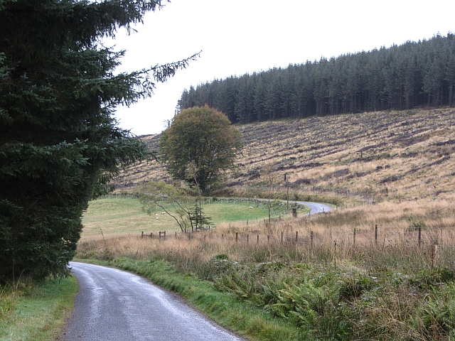
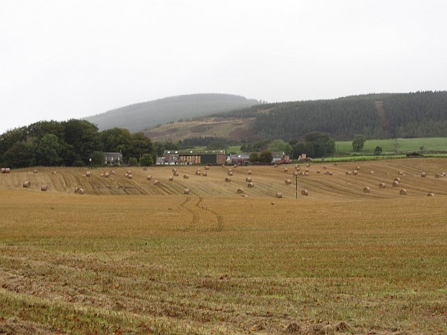
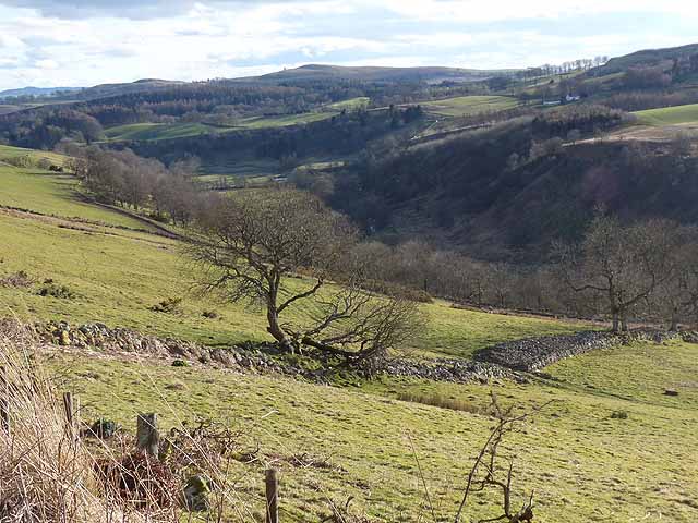
Todholes Wood is a tranquil forest located in Angus, Scotland. Covering an area of approximately 100 acres, this wood is a haven for nature enthusiasts and outdoor adventurers.

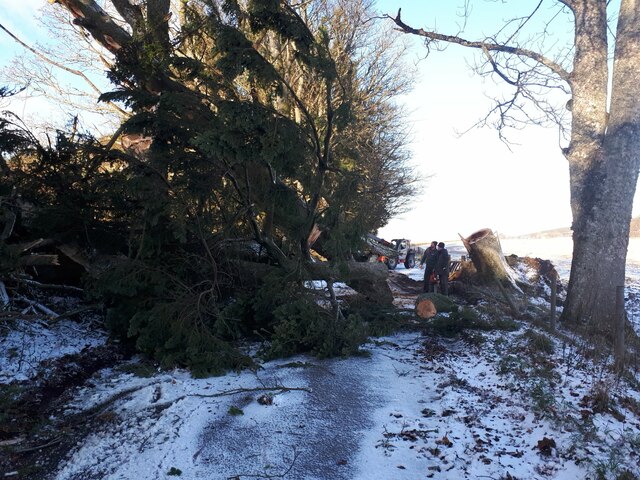
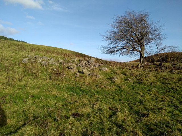
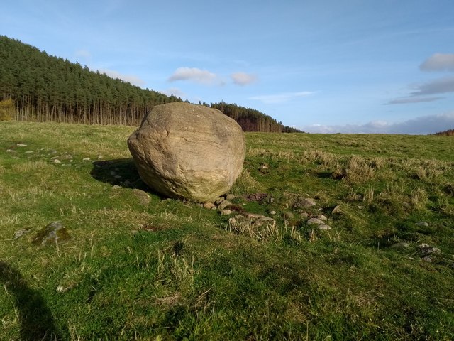
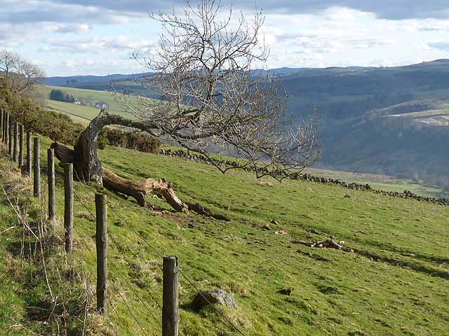
The wood is primarily made up of a mixture of deciduous and coniferous trees, including oak, beech, and Scots pine. These trees create a dense canopy that provides shade and shelter for a diverse array of wildlife. The forest floor is adorned with a carpet of mosses, ferns, and wildflowers, adding to the beauty of the landscape.

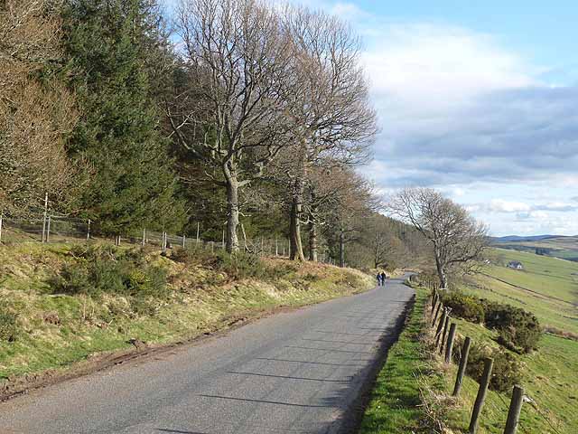
Todholes Wood boasts a network of well-maintained trails that wind through the trees, allowing visitors to explore the wood at their leisure. These paths range in difficulty, catering to both seasoned hikers and those seeking a leisurely stroll. The trails offer breathtaking views of the surrounding countryside, with glimpses of rolling hills and distant mountains.

The wood is home to a variety of animal species, including deer, squirrels, and numerous bird species such as woodpeckers and owls. Birdwatchers flock to Todholes Wood to catch a glimpse of these feathered residents.

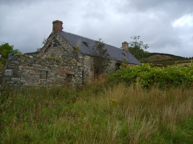
In addition to its natural beauty, Todholes Wood also holds cultural and historical significance. It is believed that the wood has been inhabited since ancient times, with evidence of prehistoric settlements and burial sites. The wood also played a role in the local timber industry during the 19th and early 20th centuries.

Todholes Wood is a cherished natural gem in the Angus region, offering visitors a chance to connect with nature and immerse themselves in its beauty and tranquility.

If you have any feedback on the listing, please let us know in the comments section below.

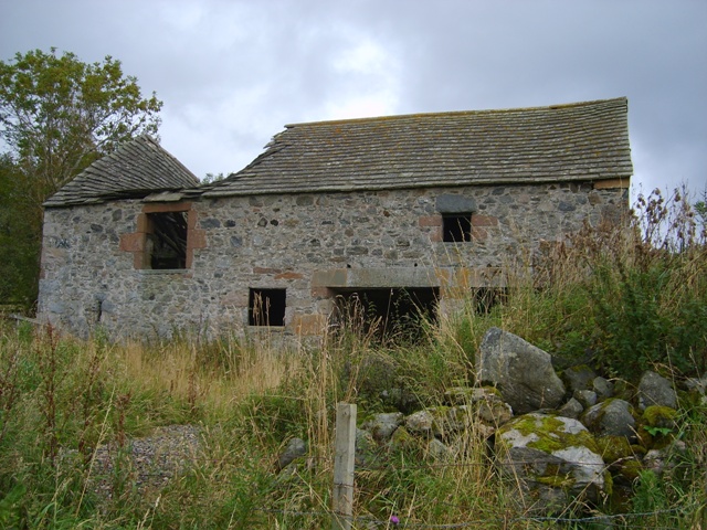
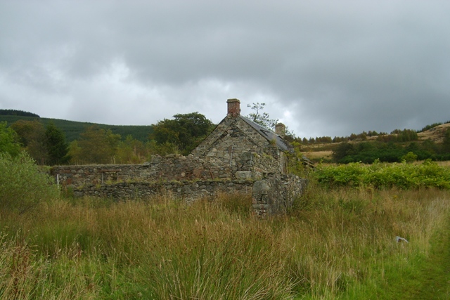
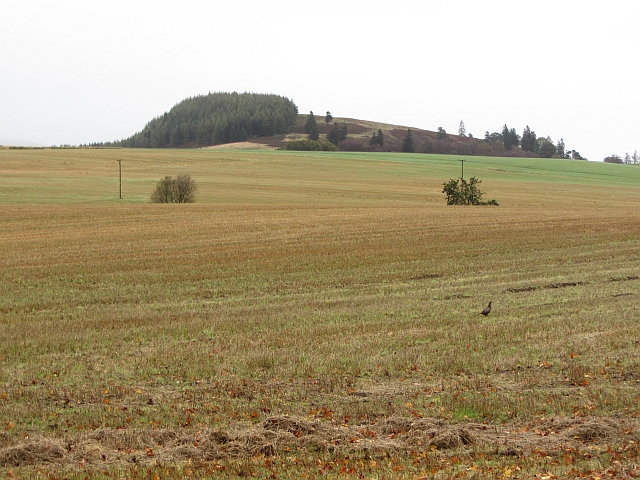
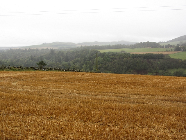
Todholes Wood Images

Images are sourced within 2km of 56.739226/-3.0045458 or Grid Reference NO3861. Thanks to Geograph Open Source API. All images are credited.

Bridgend, Glen Moy Fallen trees after storm Arwen on 26 November 2021
Bridgend, Glen Moy
Fallen trees after storm Arwen on 26 November 2021
After Storm Arwen The results of a horrific storm on 26 November 2021
After Storm Arwen
The results of a horrific storm on 26 November 2021
Broomfauld Cottage Modernised house, Broomfauld.
Broomfauld Cottage
Modernised house, Broomfauld.
Track to Broomfauld Looking east to Broomfauld and the southern slope of Knock Hill.
Track to Broomfauld
Looking east to Broomfauld and the southern slope of Knock Hill.
Ruins of Greenhow Depicted on 19th century OS maps as Greenhow.
Ruins of Greenhow
Depicted on 19th century OS maps as Greenhow.
Boulder An erratic, I think. The southern slope of Auld Man behind.
Boulder
An erratic, I think. The southern slope of Auld Man behind.
Between Glenquiech and Glenmoy The Glack between Glens Quiech and Moy. The Airlie Monument can be seen in the distance.
Between Glenquiech and Glenmoy
The Glack between Glens Quiech and Moy. The Airlie Monument can be seen in the distance.
Bogside Farmhouse Derelict farm in Glenmoy
Bogside Farmhouse
Derelict farm in Glenmoy
Old mill at Bogside The threshing mill machinery was located in the left side of this building. The water was supplied from a small dam by the roadside. The upper part of this building was a loft.
Old mill at Bogside
The threshing mill machinery was located in the left side of this building. The water was supplied from a small dam by the roadside. The upper part of this building was a loft.
Bogside Farmhouse Another view of the derelict farm
Bogside Farmhouse
Another view of the derelict farm
Stubble and the Knock One of many pheasants in the stubble. The Cortachy area is densely stocked. The background hill is Knock Hill. NO4060
Stubble and the Knock
One of many pheasants in the stubble. The Cortachy area is densely stocked. The background hill is Knock Hill. NO4060
Stubble, Craigton The golden colour suggests that this was an oat crop. You grow it, I'll eat it! The land is quite high here and this is one of the last arable fields in the severely depopulated Glen Moy.
Stubble, Craigton
The golden colour suggests that this was an oat crop. You grow it, I'll eat it! The land is quite high here and this is one of the last arable fields in the severely depopulated Glen Moy.
Glen Moy road The road has a better atmosphere than when this was taken <a href="https://www.geograph.org.uk/photo/421920">NO3962 : The Glen Moy road as it passes through a forestry plantation.</a>, several blocks of conifers have been harvested.
Glen Moy road
The road has a better atmosphere than when this was taken NO3962 : The Glen Moy road as it passes through a forestry plantation., several blocks of conifers have been harvested.
Stubble, Kinallty Arable land in Glen Moy, Angus.
Stubble, Kinallty
Arable land in Glen Moy, Angus.
Bridge to Kinrive Farm The fields are on a ridge which divides Glen Moy from Glen Clova.
Bridge to Kinrive Farm
The fields are on a ridge which divides Glen Moy from Glen Clova.
Contorted tree above Glen Prosen From the road which runs along the eastern side of the Glen high above the valley floor. Glackburn Farm <a href="https://www.geograph.org.uk/gridref/NO3760">NO3760</a> in the middle distance.
Contorted tree above Glen Prosen
From the road which runs along the eastern side of the Glen high above the valley floor. Glackburn Farm NO3760 in the middle distance.
Road in Glen Prosen The road which runs along the eastern side of the Glen high above the valley floor. Glackburn Farm <a href="https://www.geograph.org.uk/gridref/NO3760">NO3760</a> in the middle distance.
Road in Glen Prosen
The road which runs along the eastern side of the Glen high above the valley floor. Glackburn Farm NO3760 in the middle distance.
Lower Glen Prosen Looking down the Glen.
Lower Glen Prosen
Looking down the Glen.
Show me another place!

Todholes Wood is located at Grid Ref: NO3861 (Lat: 56.739226, Lng: -3.0045458)

Unitary Authority: Angus

Police Authority: Tayside

What 3 Words

///falls.synthetic.engineers. Near Kirriemuir, Angus

Related Wikis

Mile Hill, Dykehead

There is another Mile Hill nearby which is a MarilynMile Hill is located in Angus, Scotland, 1000 metres west of Dykehead. It is a circular hill rising...

Cortachy

Cortachy is a village in Angus, Scotland. It lies in at the mouth of Glen Clova, on the River South Esk, four miles north of Kirriemuir. Nearby lies Cortachy...

Cortachy Castle

Cortachy Castle is a castellated mansion House at Cortachy, Angus, Scotland, some four miles north of Kirriemuir. The present building dates from the 15th...

Inverquharity Castle

Inverquharity Castle is a 15th-century tower house in Angus, Scotland. It lies around 4.5 kilometres (2.8 mi) north-east of Kirriemuir near the River South...

Nearby Amenities

Located within 500m of 56.739226,-3.0045458
Cullow Market Stance
Tourism: picnic_site
Lat/Long: 56.7413755/-3.0091651
Cullew
Alt Name: Cullow
Name Gd: Cùl Laoigh
Place: hamlet
Lat/Long: 56.7362076/-3.0037417
Material: wood
Power: pole
Lat/Long: 56.7355649/-3.0027028
Material: wood
Power: pole
Lat/Long: 56.7352454/-3.0037456
Material: wood
Power: pole
Lat/Long: 56.7349937/-3.0043793
Power: pole
Lat/Long: 56.7347443/-3.0050385
The data included in this document is from www.openstreetmap.org. The data is made available under ODbL.

Have you been to Todholes Wood?

Leave your review of Todholes Wood below (or comments, questions and feedback).