Cawkwell

Settlement in Lincolnshire East Lindsey

England

Cawkwell

Direction Sign – Signpost on Bluestone Heath Road in Scamblesby parish Located on the southwest side of the T junction of Bluestone Heath Road and a minor road to Highfield Caldwell in Scamblesby parish. 3 arms and no finial.

Milestone Society National ID: LI_TF2781A
Direction Sign – Signpost on Bluestone Heath Road in Scamblesby parish Credit: A Riley

Cawkwell is a small village located in the East Lindsey district of Lincolnshire, England. Situated approximately 5 miles south of the market town of Louth, Cawkwell is surrounded by picturesque countryside and offers a peaceful and rural setting.

The village is predominantly residential, with a population of around 150 people. The houses in Cawkwell range from cozy cottages to more modern properties, creating a charming and diverse architectural landscape. The community is tight-knit, and residents often engage in local activities and events together.

Despite its small size, Cawkwell boasts a few amenities for its residents. There is a local pub, The Red Lion, which serves as a meeting point for locals and visitors alike. The pub offers a selection of traditional British dishes and ales, providing a warm and friendly atmosphere.

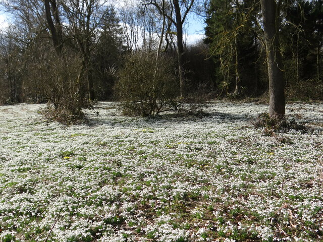
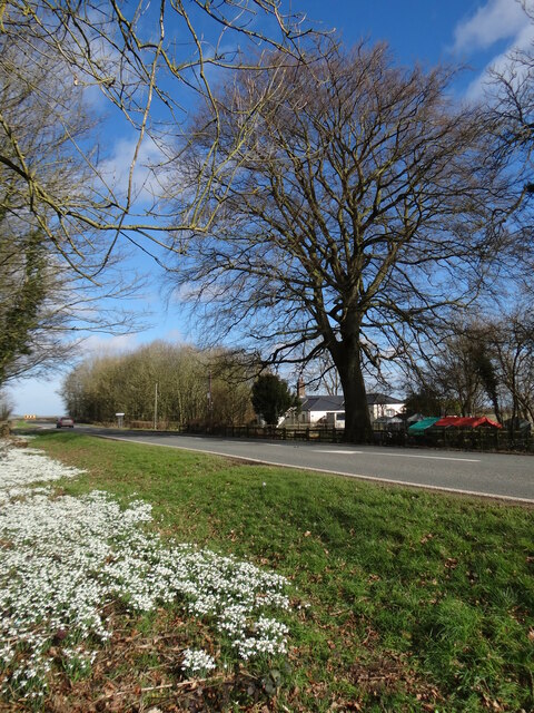
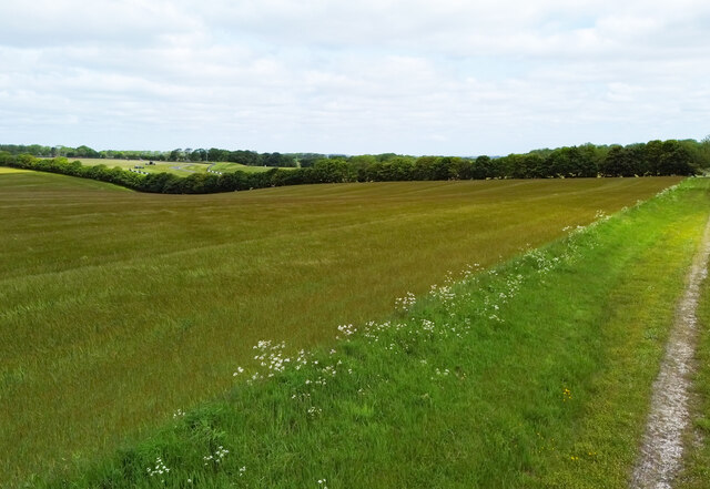
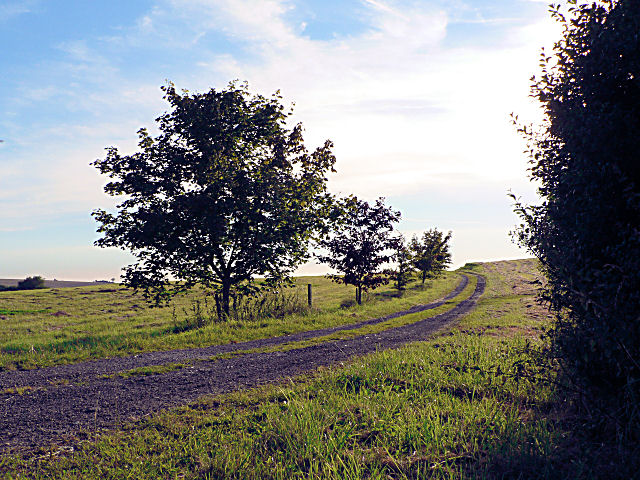
Nature enthusiasts will appreciate the beautiful surroundings of Cawkwell. The village is located near the Lincolnshire Wolds, an Area of Outstanding Natural Beauty, which offers numerous opportunities for outdoor activities such as hiking, cycling, and birdwatching.

Transportation in Cawkwell is mainly reliant on private vehicles, as the village has limited public transportation options. However, it benefits from being well-connected to other nearby towns and cities via the A16 road, making it easily accessible for those who commute or wish to explore the wider region.

In summary, Cawkwell is a small and tranquil village in Lincolnshire, offering a close-knit community, beautiful countryside, and a peaceful way of life.

If you have any feedback on the listing, please let us know in the comments section below.
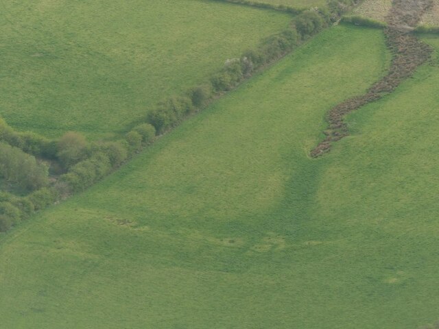
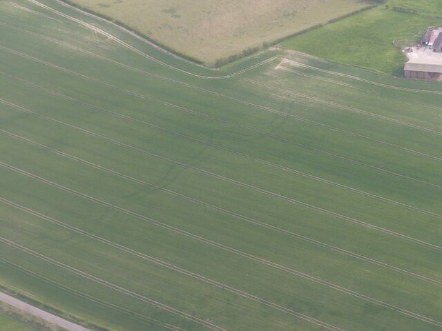
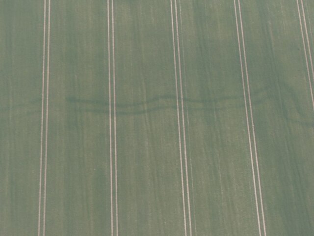
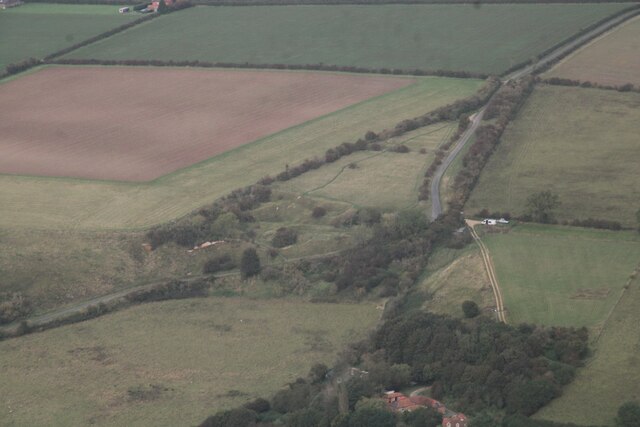
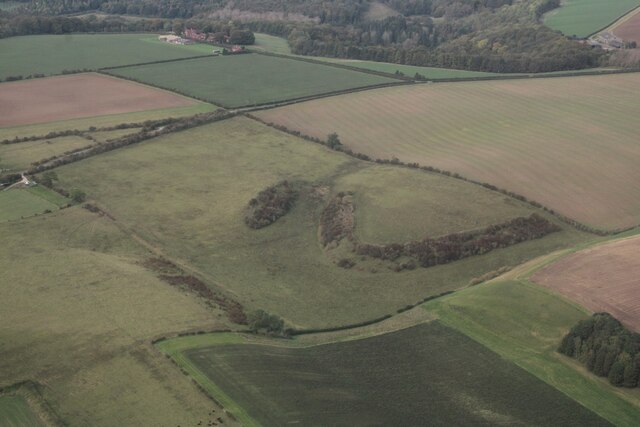
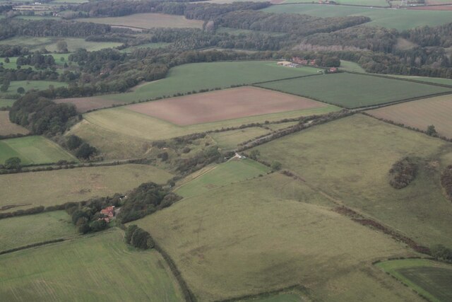
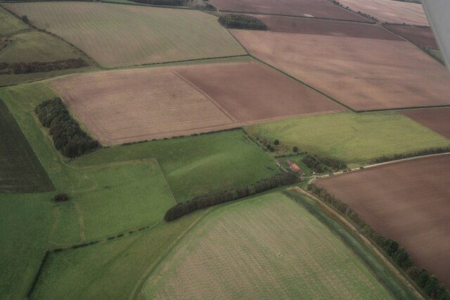
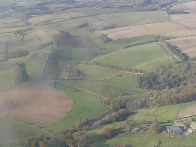
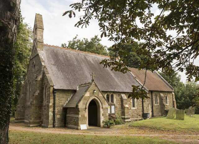
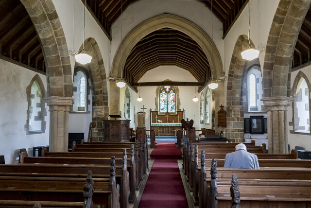
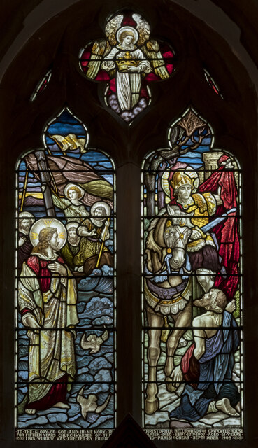
Cawkwell Images

Images are sourced within 2km of 53.299792/-0.076544 or Grid Reference TF2879. Thanks to Geograph Open Source API. All images are credited.

Direction Sign – Signpost on Bluestone Heath Road in Scamblesby parish Located on the southwest side of the T junction of Bluestone Heath Road and a minor road to Highfield Caldwell in Scamblesby parish. 3 arms and no finial.

Milestone Society National ID: LI_TF2781A
Direction Sign – Signpost on Bluestone Heath Road in Scamblesby parish
Located on the southwest side of the T junction of Bluestone Heath Road and a minor road to Highfield Caldwell in Scamblesby parish. 3 arms and no finial. Milestone Society National ID: LI_TF2781A
Cadwell Park: aerial 2022 (0)
Cadwell Park: aerial 2022 (2)
Carpet of snow Wonderful snow(drop) covered Lodge Plantation.  You can't just drive past!
Carpet of snow
Wonderful snow(drop) covered Lodge Plantation. You can't just drive past!
Snow in the Wolds Like a dusting of snow, these snowdrops in Lodge Plantation bring joy to the passer-by.
Snow in the Wolds
Like a dusting of snow, these snowdrops in Lodge Plantation bring joy to the passer-by.
Snowdrops by the A153 Look to the left for more detail! 
<a href="https://www.geograph.org.uk/photo/7103930">TF2881 : Carpet of snow</a>
<a href="https://www.geograph.org.uk/photo/7103931">TF2881 : Snow in the Wolds</a>
Snowdrops by the A153
Look to the left for more detail! TF2881 : Carpet of snow TF2881 : Snow in the Wolds
Spring course, Red Hill Farm, Goulceby: aerial 2022
Parallel cropmarks near Cadwell Grange: aerial 2022 (1) See <a href="https://www.geograph.org.uk/photo/7162749">TF2880 : Parallel cropmarks near Cadwell Grange: aerial 2022 (2)</a> for detail.
Parallel cropmarks near Cadwell Grange: aerial 2022 (1)
Parallel cropmarks near Cadwell Grange: aerial 2022 (2) Detail of <a href="https://www.geograph.org.uk/photo/7162746">TF2880 : Parallel cropmarks near Cadwell Grange: aerial 2022 (1)</a>.
Parallel cropmarks near Cadwell Grange: aerial 2022 (2)
Field near Cadwell Park Taken from a farm track, the Motor Racing Circuit can be glimpsed in the distance.
Field near Cadwell Park
Taken from a farm track, the Motor Racing Circuit can be glimpsed in the distance.
Red Hill, near Goulceby: aerial 2023 (1) Nature Reserve containing a chalk escarpment and a disused quarry with a famous exposure of Red Chalk. This is rich in fossils, particularly belemnites and brachiopods. Below the Red Chalk there is a considerable thickness of Carstone, here a coarse, pebbly sandstone, and above it a thin capping of the white Lower Chalk.

See: <span class="nowrap"><a title="https://www.lincstrust.org.uk/nature-reserves/red-hill" rel="nofollow ugc noopener" href="https://www.lincstrust.org.uk/nature-reserves/red-hill">Link</a><img style="margin-left:2px;" alt="External link" title="External link - shift click to open in new window" src="https://s1.geograph.org.uk/img/external.png" width="10" height="10"/></span>
Red Hill, near Goulceby: aerial 2023 (1)
Nature Reserve containing a chalk escarpment and a disused quarry with a famous exposure of Red Chalk. This is rich in fossils, particularly belemnites and brachiopods. Below the Red Chalk there is a considerable thickness of Carstone, here a coarse, pebbly sandstone, and above it a thin capping of the white Lower Chalk. See: LinkExternal link
Geological feature near Red Hill, Stenigot: aerial 2023 (1)
Red Hill, near Goulceby: aerial 2023 (2) Nature Reserve containing a chalk escarpment and a disused quarry with a famous exposure of Red Chalk. This is rich in fossils, particularly belemnites and brachiopods. Below the Red Chalk there is a considerable thickness of Carstone, here a coarse, pebbly sandstone, and above it a thin capping of the white Lower Chalk.

See: <span class="nowrap"><a title="https://www.lincstrust.org.uk/nature-reserves/red-hill" rel="nofollow ugc noopener" href="https://www.lincstrust.org.uk/nature-reserves/red-hill">Link</a><img style="margin-left:2px;" alt="External link" title="External link - shift click to open in new window" src="https://s1.geograph.org.uk/img/external.png" width="10" height="10"/></span>
Red Hill, near Goulceby: aerial 2023 (2)
Nature Reserve containing a chalk escarpment and a disused quarry with a famous exposure of Red Chalk. This is rich in fossils, particularly belemnites and brachiopods. Below the Red Chalk there is a considerable thickness of Carstone, here a coarse, pebbly sandstone, and above it a thin capping of the white Lower Chalk. See: LinkExternal link
Geological feature near Red Hill, Stenigot: aerial 2023 (2)
Across Cawkwell towards Red Hill and Stenigot: aerial 2023
St Martin's church, Scamblesby There was probably a church here in Anglo-Saxon times, and  there are remnants of 12th C. fabric.
The chancel was rebuilt in 1890, and the nave in 1893 at a cost of £800. The architect was R. H. Fowler.

The church is built in green sandstone with limestone ashlar dressings and  a slate roof.
There is a nave with a west bellcote, north and south aisles, a south porch and chancel. The north aisle has a reused 12th C. Lancet window.
One of the nave pillars is early Norman, taken from the demolished church of Cawkwell (now a deserted mediaeval village). <a href="https://www.geograph.org.uk/gridref/TF2879">TF2879</a>
The font is a large thirteenth century bowl with an octagonal pedestal.
Most of the internal fabric is 19th-century, however there are older poppy heads on the pews which were taken from Cawkwell church, they depict different characters including a possible Green Man.

There are several wall monuments, and the east window with a depiction of St Martin. There is no organ.
St Martin's church, Scamblesby
There was probably a church here in Anglo-Saxon times, and there are remnants of 12th C. fabric. The chancel was rebuilt in 1890, and the nave in 1893 at a cost of £800. The architect was R. H. Fowler. The church is built in green sandstone with limestone ashlar dressings and a slate roof. There is a nave with a west bellcote, north and south aisles, a south porch and chancel. The north aisle has a reused 12th C. Lancet window. One of the nave pillars is early Norman, taken from the demolished church of Cawkwell (now a deserted mediaeval village). TF2879 The font is a large thirteenth century bowl with an octagonal pedestal. Most of the internal fabric is 19th-century, however there are older poppy heads on the pews which were taken from Cawkwell church, they depict different characters including a possible Green Man. There are several wall monuments, and the east window with a depiction of St Martin. There is no organ.
Interior, St Martin's church, Scamblesby Looking up the nave towards the chancel.
Interior, St Martin's church, Scamblesby
Looking up the nave towards the chancel.
East window, St Martin's church, Scamblesby Showing St Martin dividing his cloak for the beggar, and Jesus walking on water.
In memory of Christopher Bell Robson, Churchwarden, d. 1907 aged 61.
Artist unknown.
East window, St Martin's church, Scamblesby
Showing St Martin dividing his cloak for the beggar, and Jesus walking on water. In memory of Christopher Bell Robson, Churchwarden, d. 1907 aged 61. Artist unknown.
Show me another place!

Cawkwell is located at Grid Ref: TF2879 (Lat: 53.299792, Lng: -0.076544)

Division: Parts of Lindsey

Administrative County: Lincolnshire

District: East Lindsey

Police Authority: Lincolnshire

What 3 Words

///delved.animals.reckoned. Near Burwell, Lincolnshire

Nearby Locations

Cawkwell The Park

Related Wikis

Cawkwell

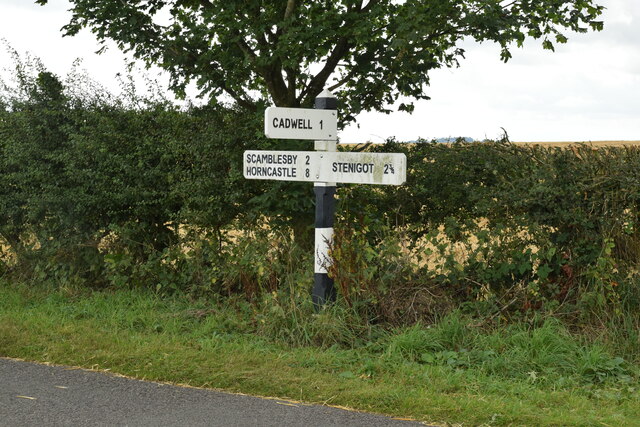
Cawkwell is a hamlet and former civil parish, now in the parish of Scamblesby, in the East Lindsey district of Lincolnshire, England. It is situated approximately...

Scamblesby

Scamblesby is a village and civil parish in the East Lindsey district from Lincolnshire, England. It is situated 6 miles (10 km) south-west from Louth...
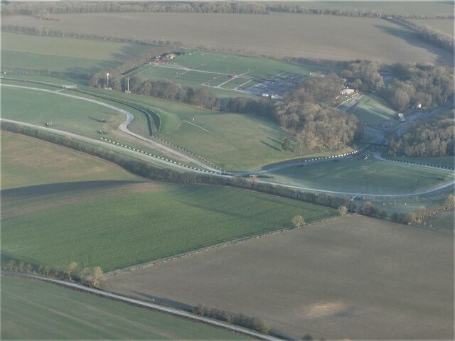
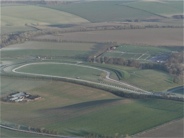
Cadwell Park

Cadwell Park is a motor racing circuit in Lincolnshire, England, 5 mi (8.0 km) south of Louth, owned and operated by MotorSport Vision, a business associated...

Asterby

Asterby is a hamlet between Goulceby and Scamblesby, west of Louth, in the East Lindsey district of Lincolnshire, England. The civil parish of Asterby...

Nearby Amenities

Located within 500m of 53.299792,-0.076544
Cawkwell
Is In: Lincolnshire, England, UK
Place: hamlet
Source: Bing
Wikidata: Q5055218
Lat/Long: 53.2999822/-0.0787311
The Park
Place: locality
Source: Bing
Lat/Long: 53.2970318/-0.0784251
Landuse: forest
Lat/Long: 53.2983085/-0.0796409
Cawkwell
Historic: deserted_medieval_village
Lat/Long: 53.3009089/-0.0785512
The data included in this document is from www.openstreetmap.org. The data is made available under ODbL.

Have you been to Cawkwell?

Leave your review of Cawkwell below (or comments, questions and feedback).