Cawkeld
Settlement in Yorkshire
England
Cawkeld

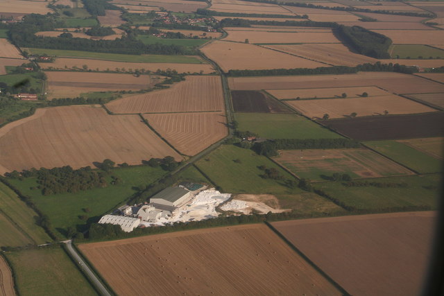
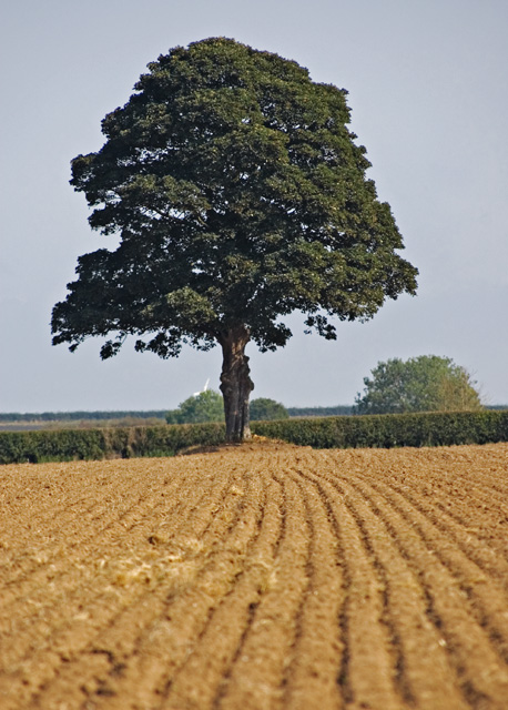
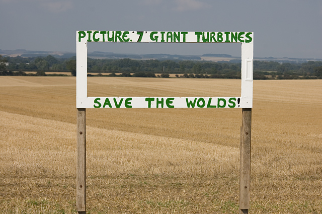
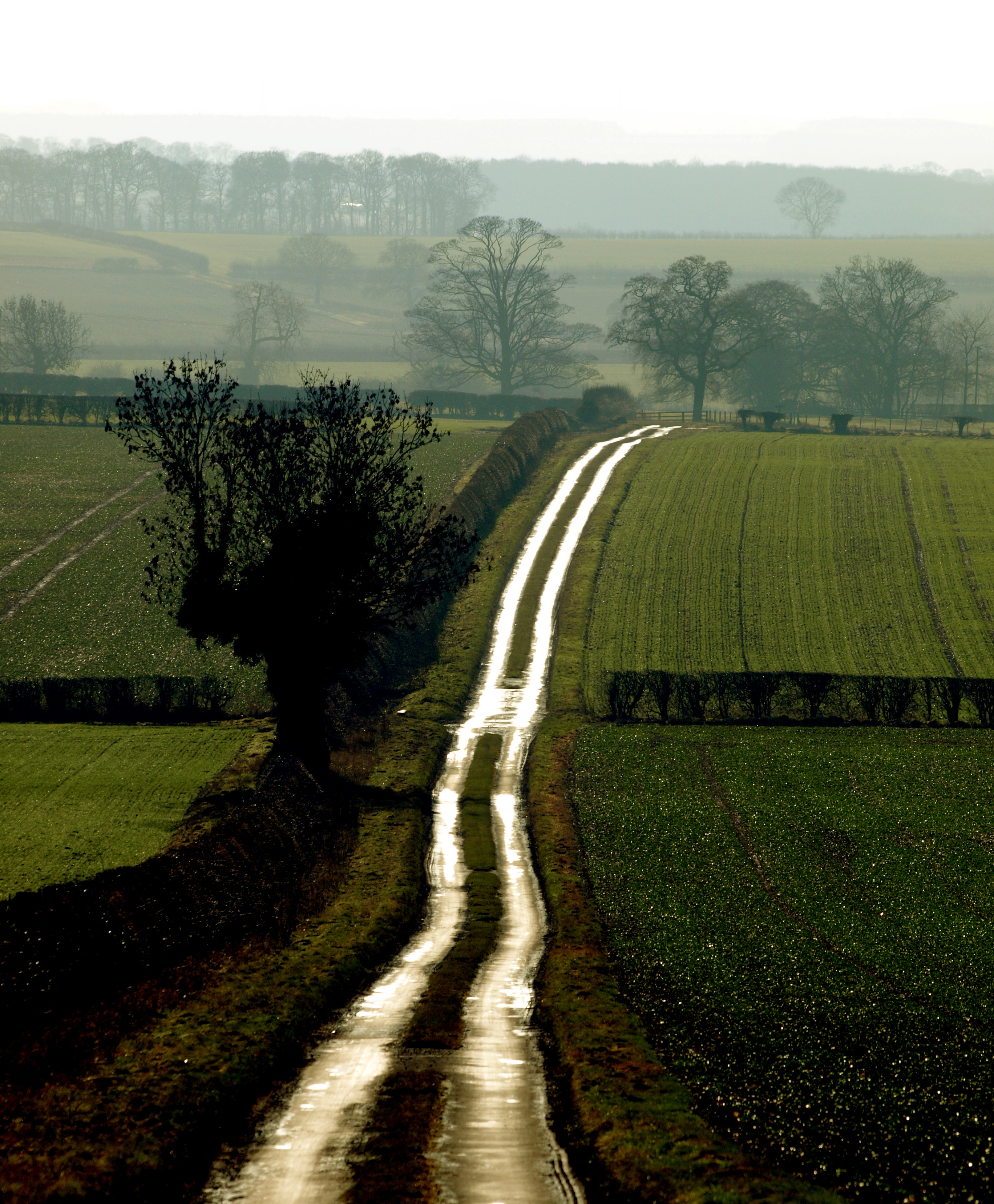
Cawkeld is a small village located in the East Riding of Yorkshire, England. Situated approximately 11 miles northwest of the city of Hull, it falls within the parish of South Cave. This rural settlement lies in the picturesque Yorkshire Wolds, known for its rolling hills and stunning landscapes.
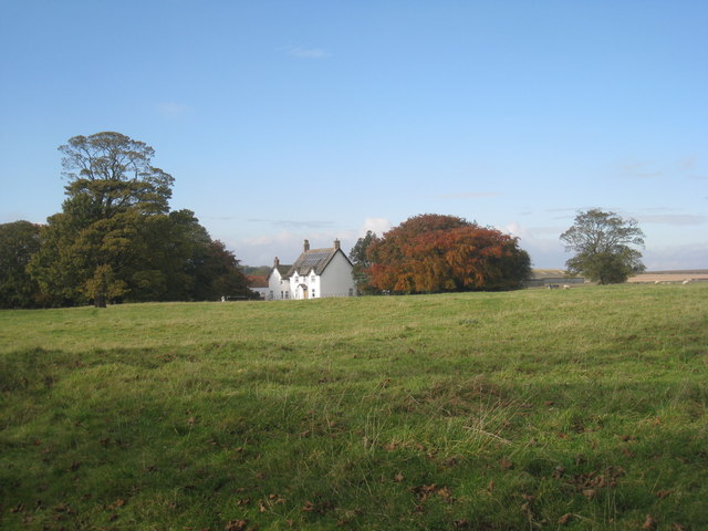
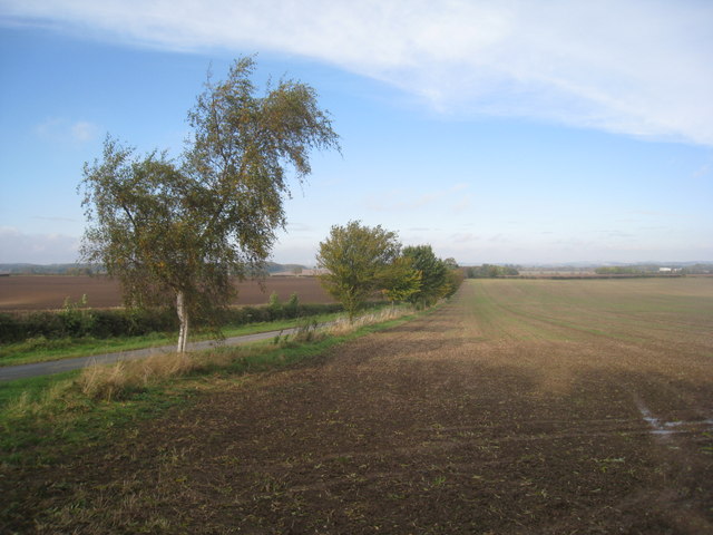
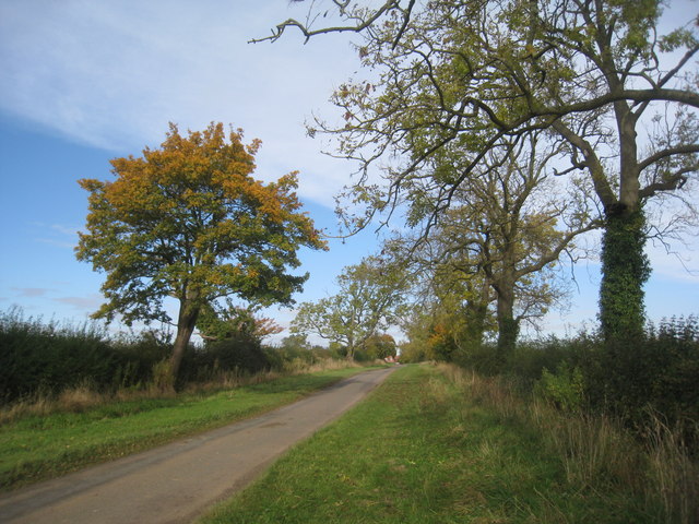
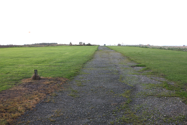
The village is characterized by its quaint charm and a close-knit community. With a population of around 150 residents, Cawkeld offers a peaceful and serene environment for those seeking an idyllic countryside retreat. The village is surrounded by lush green fields, providing residents with plenty of opportunities for outdoor activities such as walking, cycling, and exploring nature.
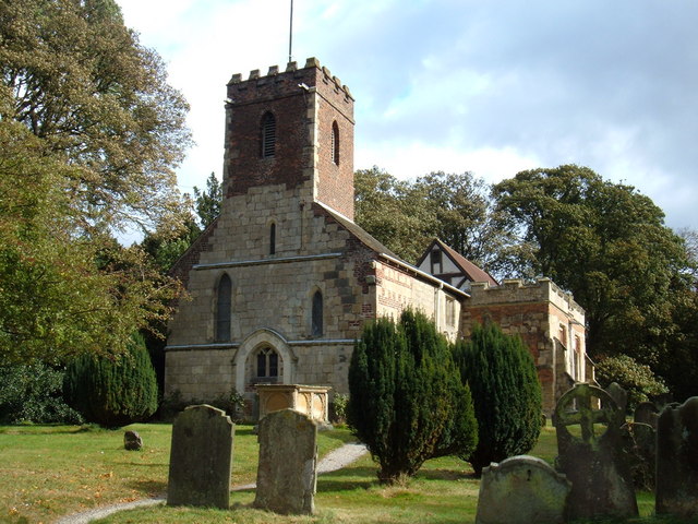
Although small in size, Cawkeld boasts a rich history. The village is home to several historic buildings, including St. Martin's Church, a Grade II listed structure dating back to the 12th century. This church serves as a focal point for the community and holds regular services and events.
Cawkeld's proximity to the bustling city of Hull provides residents with easy access to a range of amenities, including shops, restaurants, and leisure facilities. The village also benefits from good transportation links, with regular bus services connecting it to nearby towns and cities.
Overall, Cawkeld offers a tranquil and picturesque setting, making it an attractive place to live for those seeking a peaceful rural lifestyle with the convenience of nearby urban amenities.
If you have any feedback on the listing, please let us know in the comments section below.
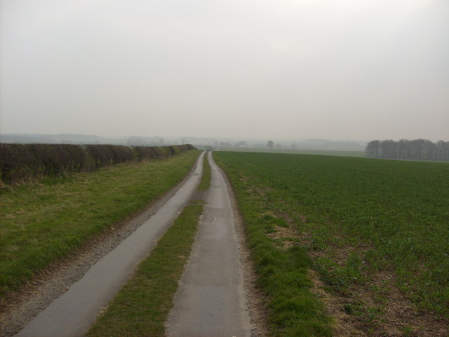
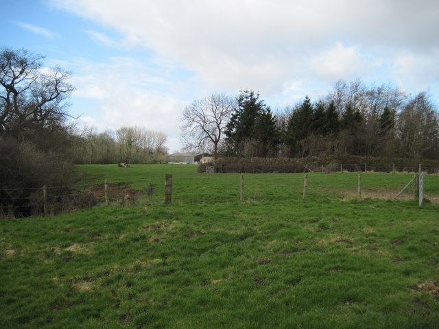
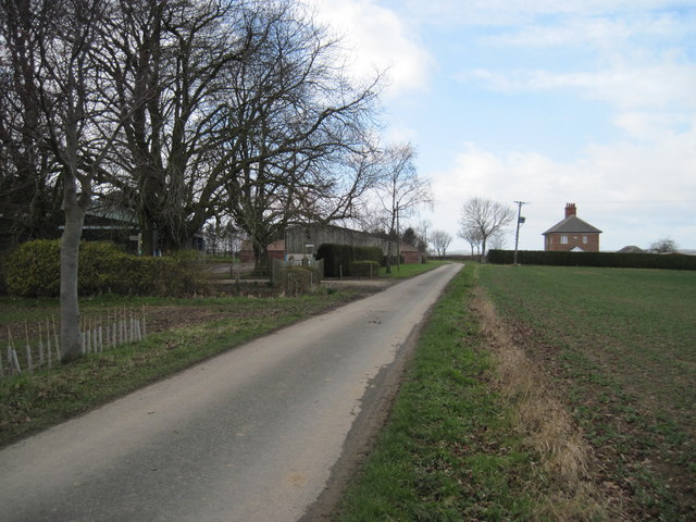
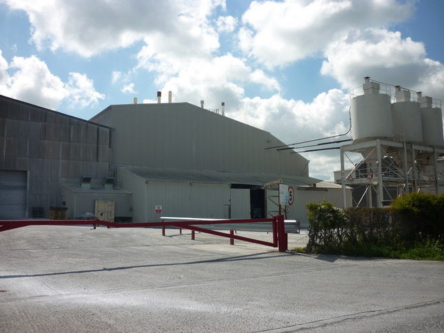
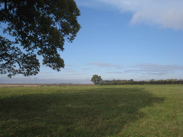
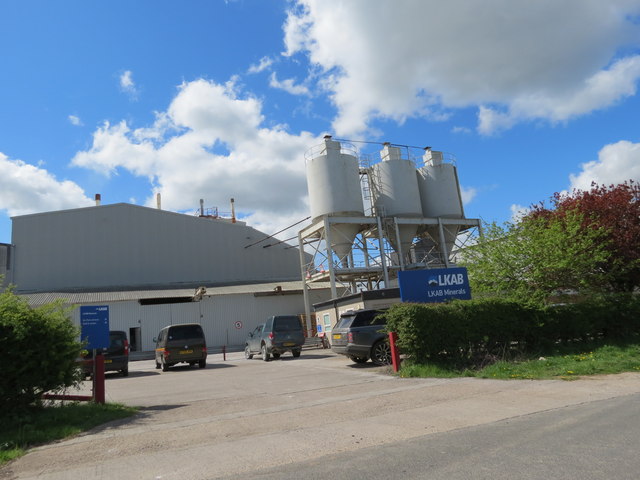
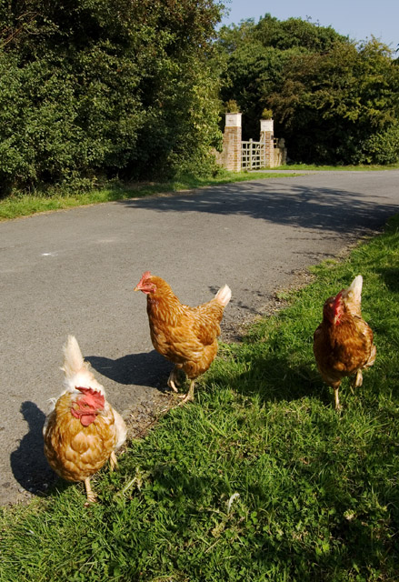
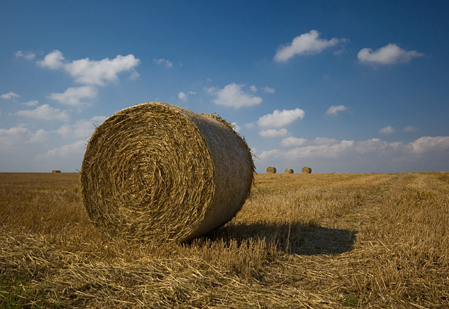
Cawkeld Images
Images are sourced within 2km of 53.936661/-0.4934588 or Grid Reference SE9950. Thanks to Geograph Open Source API. All images are credited.


Cawkeld is located at Grid Ref: SE9950 (Lat: 53.936661, Lng: -0.4934588)
Division: East Riding
Unitary Authority: East Riding of Yorkshire
Police Authority: Humberside
What 3 Words
///keyboards.restriction.touched. Near Lockington, East Yorkshire
Nearby Locations
Related Wikis
Bracken on the Wolds
Bracken on the Wolds (or Bracken) is a manor and hamlet in the East Riding of Yorkshire, England. It is situated in the Yorkshire Wolds approximately 1...

Kilnwick
Kilnwick (or Kilnwick-on-the-Wolds) is a village and former civil parish, now in the parish of Beswick, in the East Riding of Yorkshire, England. It is...

North Humberside
North Humberside is a former postal county of England. It was introduced by the Royal Mail on 1 July 1974, when some addresses were altered in response...

East Riding of Yorkshire
The East Riding of Yorkshire, often abbreviated to the East Riding or East Yorkshire, is a ceremonial county in the Yorkshire and the Humber region of...
Bainton railway station
Bainton railway station was a station on the Selby to Driffield Line. It opened on 1 May 1890 and served the village of Bainton. It closed on 20 September...
RAF Hutton Cranswick
Royal Air Force Hutton Cranswick or more simply RAF Hutton Cranswick is a former Royal Air Force station located to the south of Driffield and immediately...
Lockington, East Riding of Yorkshire
Lockington is a small village and civil parish in the East Riding of Yorkshire, England. It is situated approximately 6 miles (10 km) north-west of Beverley...

Watton, East Riding of Yorkshire
Watton is a village and civil parish in the East Riding of Yorkshire, England. The village is situated on the A164 road, about 6 miles (9.7 km) north...
Nearby Amenities
Located within 500m of 53.936661,-0.4934588Have you been to Cawkeld?
Leave your review of Cawkeld below (or comments, questions and feedback).