Cawkeldsinks Plantation
Wood, Forest in Yorkshire
England
Cawkeldsinks Plantation
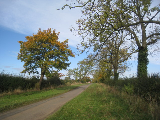
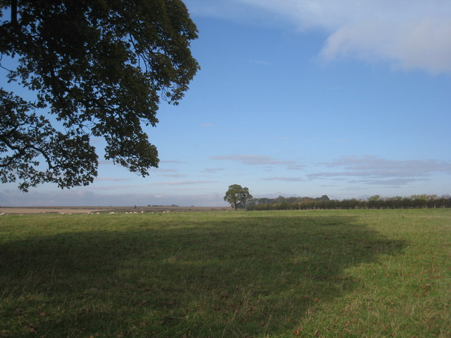
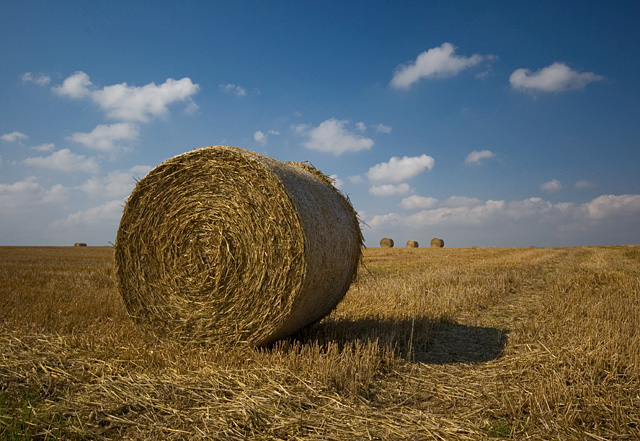
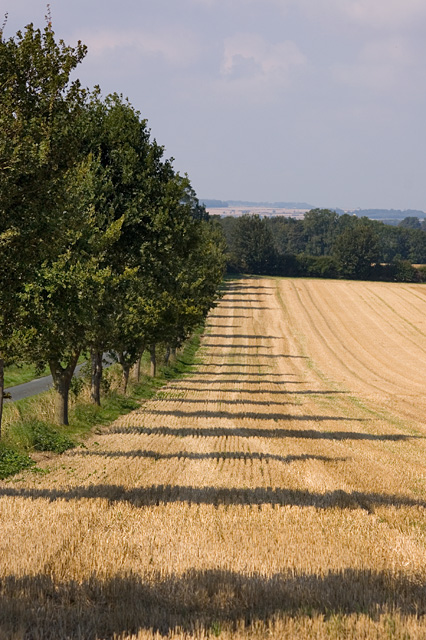
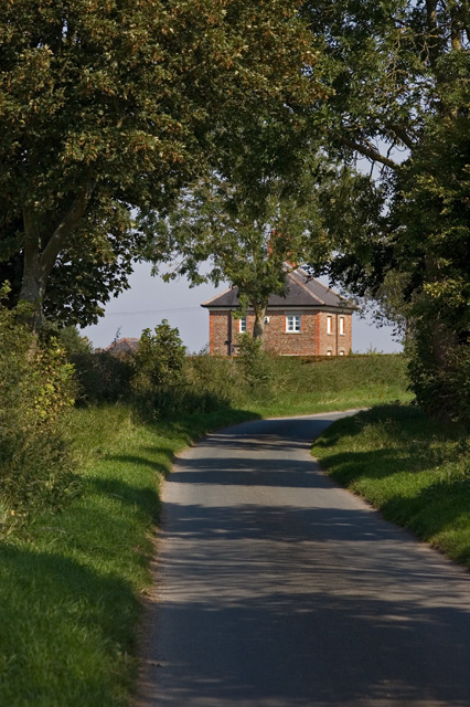
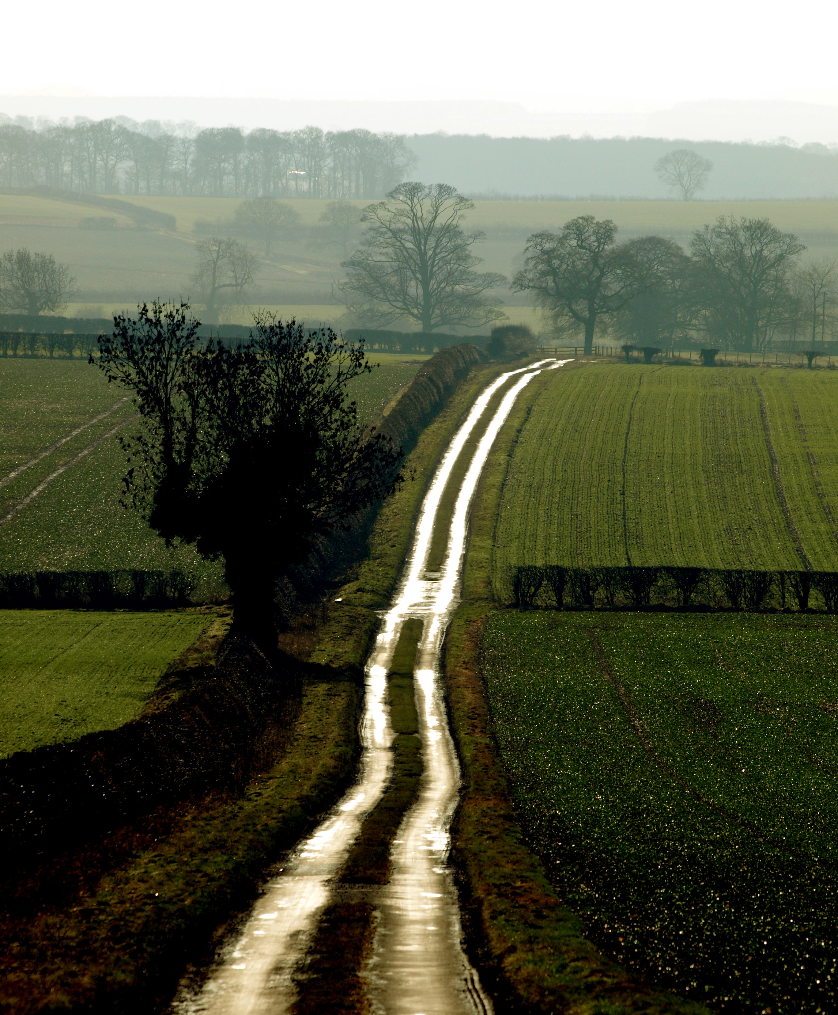
Cawkeldsinks Plantation is a picturesque woodland located in Yorkshire, England. Situated near the village of Cawkeld, it spans over a vast area and is renowned for its natural beauty and rich biodiversity. The plantation is nestled in the heart of the Yorkshire Wolds, a stunning landscape characterized by rolling hills and lush greenery.
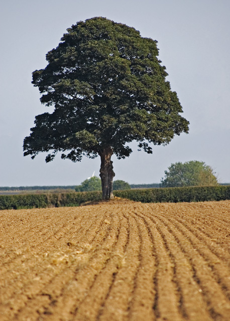
The woodland is primarily composed of a mix of deciduous and coniferous trees, including oak, beech, birch, and Douglas fir. These trees create a dense canopy that provides shelter for a diverse range of flora and fauna. The forest floor is carpeted with a variety of wildflowers, creating a vibrant and colorful display during the spring and summer months.
Cawkeldsinks Plantation is a popular destination for nature enthusiasts, hikers, and birdwatchers. The woodland is home to a myriad of bird species, including woodpeckers, thrushes, and owls. Visitors can often spot these majestic creatures perched high in the treetops or hear their melodious calls echoing through the forest.
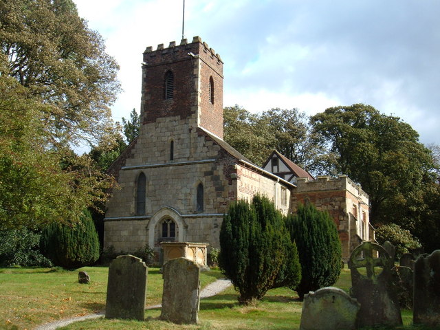
In addition to its natural beauty, Cawkeldsinks Plantation also has historical significance. The woodland was once part of the estate of the Cawkeld family, who owned the land during the medieval period. Remnants of ancient stone walls and boundary markers can still be found within the plantation, providing a glimpse into its past.
Overall, Cawkeldsinks Plantation offers a tranquil retreat from the hustle and bustle of everyday life, allowing visitors to immerse themselves in the serenity of nature while exploring its rich history and diverse ecosystem.
If you have any feedback on the listing, please let us know in the comments section below.
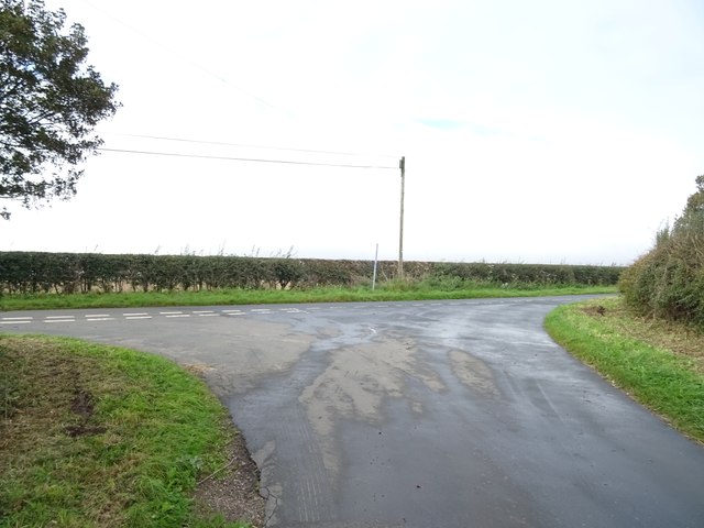
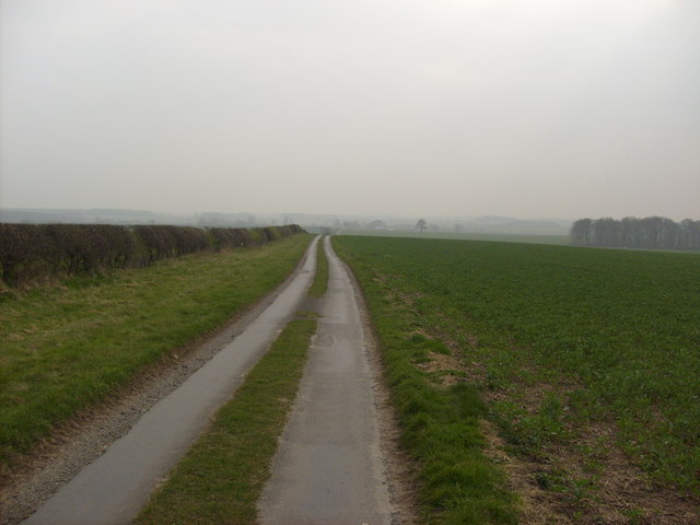
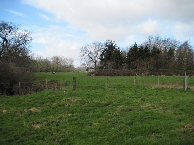
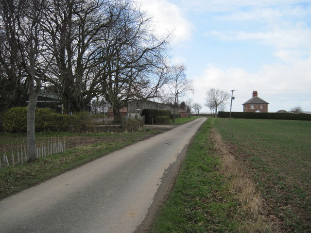
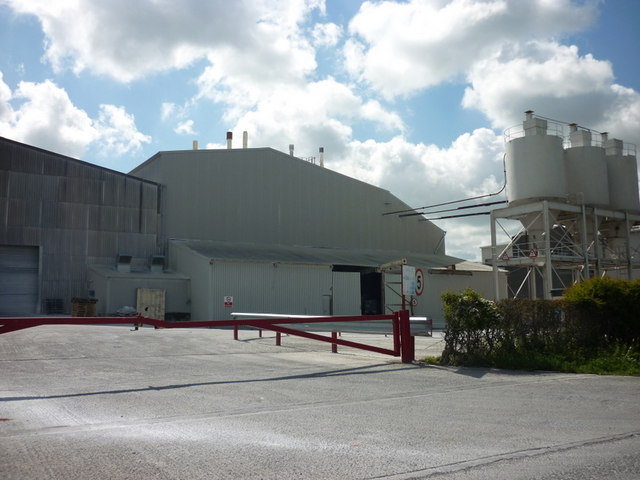
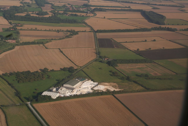
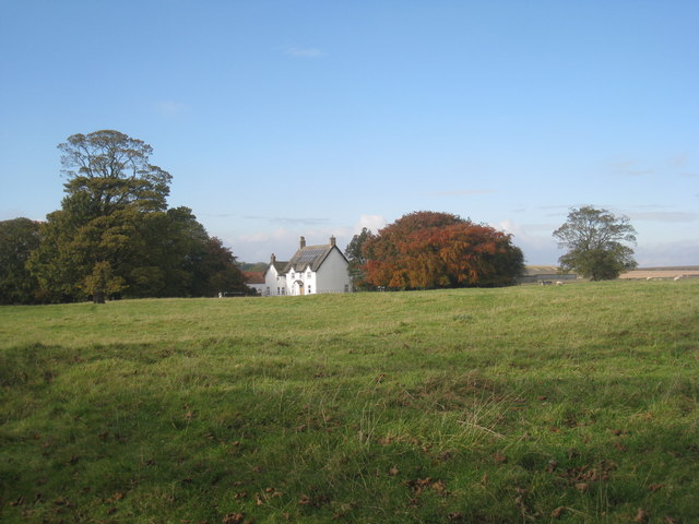
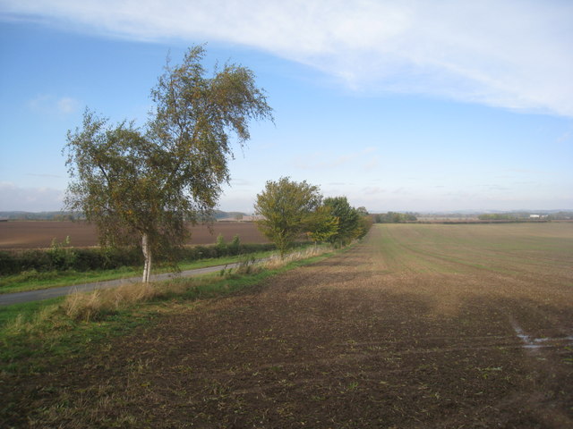
Cawkeldsinks Plantation Images
Images are sourced within 2km of 53.938541/-0.48790674 or Grid Reference SE9950. Thanks to Geograph Open Source API. All images are credited.

Cawkeldsinks Plantation is located at Grid Ref: SE9950 (Lat: 53.938541, Lng: -0.48790674)
Division: East Riding
Unitary Authority: East Riding of Yorkshire
Police Authority: Humberside
What 3 Words
///fuse.deflect.aliens. Near Watton, East Yorkshire
Nearby Locations
Related Wikis

Kilnwick
Kilnwick (or Kilnwick-on-the-Wolds) is a village and former civil parish, now in the parish of Beswick, in the East Riding of Yorkshire, England. It is...
Bracken on the Wolds
Bracken on the Wolds (or Bracken) is a manor and hamlet in the East Riding of Yorkshire, England. It is situated in the Yorkshire Wolds approximately 1...

North Humberside
North Humberside is a former postal county of England. It was introduced by the Royal Mail on 1 July 1974, when some addresses were altered in response...
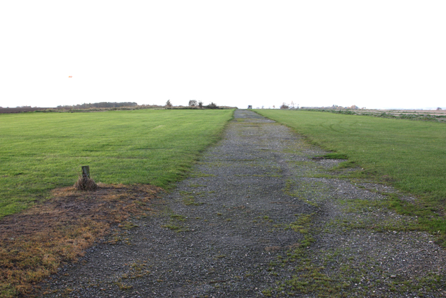
RAF Hutton Cranswick
Royal Air Force Hutton Cranswick or more simply RAF Hutton Cranswick is a former Royal Air Force station located to the south of Driffield and immediately...

Watton, East Riding of Yorkshire
Watton is a village and civil parish in the East Riding of Yorkshire, England. The village is situated on the A164 road, about 6 miles (9.7 km) north...

East Riding of Yorkshire
The East Riding of Yorkshire, often abbreviated to the East Riding or East Yorkshire, is a ceremonial county in the Yorkshire and the Humber region of...
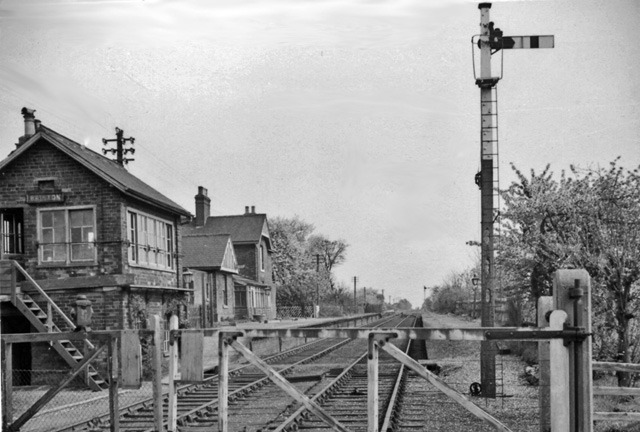
Bainton railway station
Bainton railway station was a station on the Selby to Driffield Line. It opened on 1 May 1890 and served the village of Bainton. It closed on 20 September...
Lockington, East Riding of Yorkshire
Lockington is a small village and civil parish in the East Riding of Yorkshire, England. It is situated approximately 6 miles (10 km) north-west of Beverley...
Nearby Amenities
Located within 500m of 53.938541,-0.48790674Have you been to Cawkeldsinks Plantation?
Leave your review of Cawkeldsinks Plantation below (or comments, questions and feedback).