Cawney Hill
Settlement in Staffordshire
England
Cawney Hill
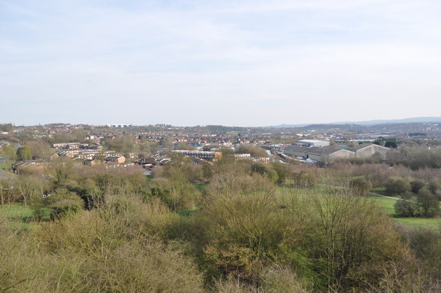
Cawney Hill is a small village located in the county of Staffordshire, England. It is situated approximately 3 miles southeast of the town of Stafford and lies within the Stafford Borough Council area. The village is nestled in a rural setting, surrounded by picturesque countryside and rolling hills.
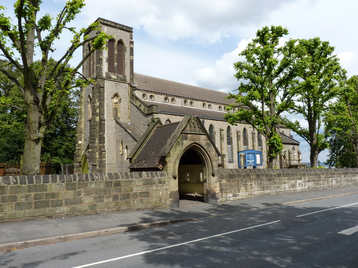
With a population of around 600 residents, Cawney Hill retains its charm as a tight-knit community. The village is characterized by its traditional architecture, with many of its buildings dating back to the 18th and 19th centuries. The village center is adorned with a quaint parish church, St. John's, which serves as a focal point for local worship and community events.
Cawney Hill benefits from its proximity to Stafford, providing residents with easy access to a range of amenities and services. The nearby town offers a variety of shops, supermarkets, restaurants, and leisure facilities. Additionally, Stafford is well-connected by both road and rail, with excellent transport links to major cities such as Birmingham and Manchester.
The village's rural location offers residents the opportunity to enjoy a peaceful and idyllic lifestyle. Surrounded by beautiful countryside, Cawney Hill provides ample opportunities for outdoor activities, such as walking, cycling, and horse riding. The area is also known for its farming heritage, with several farms dotted across the landscape.
Overall, Cawney Hill is a charming village that offers a close-knit community, stunning surroundings, and convenient access to nearby amenities. It is an ideal location for those seeking a tranquil yet well-connected place to call home.
If you have any feedback on the listing, please let us know in the comments section below.
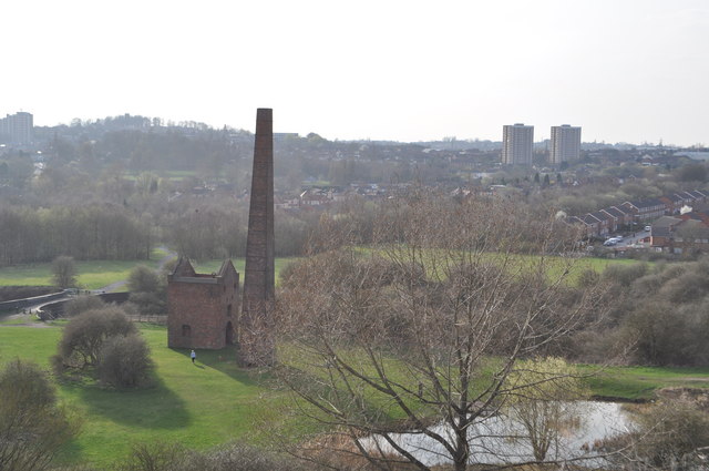
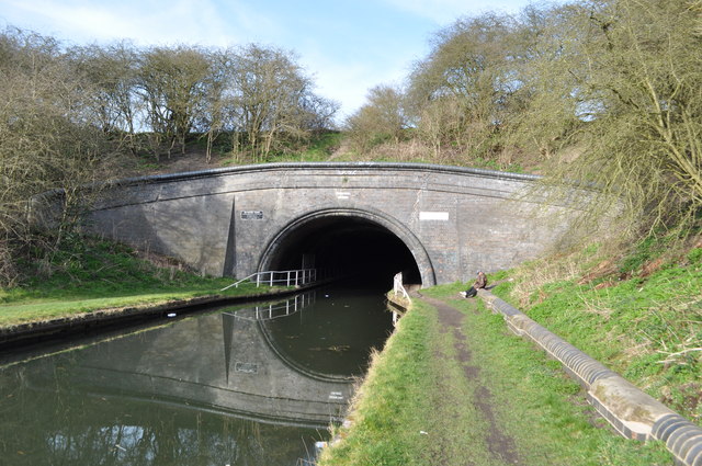
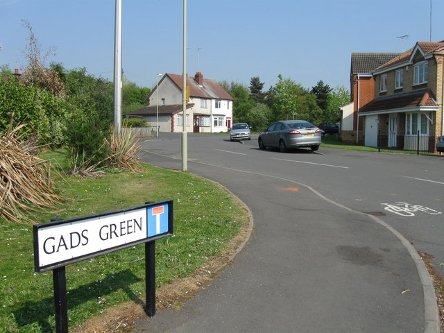
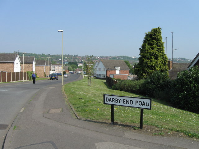
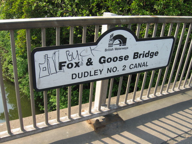
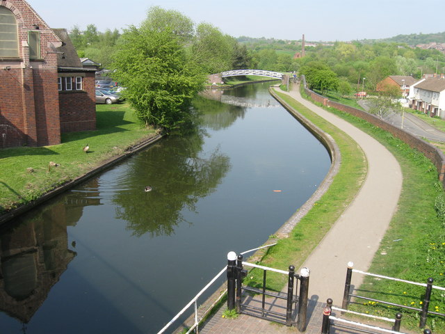
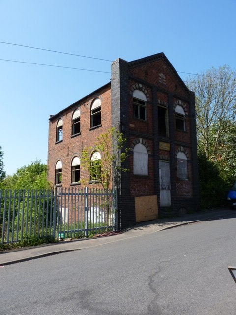
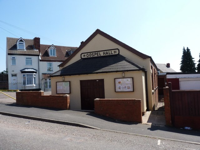
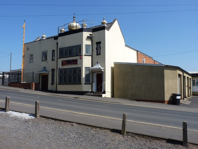
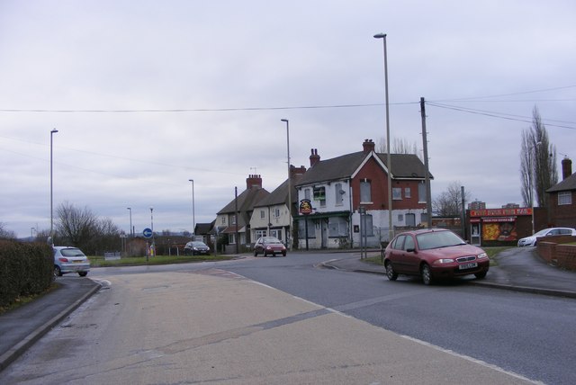
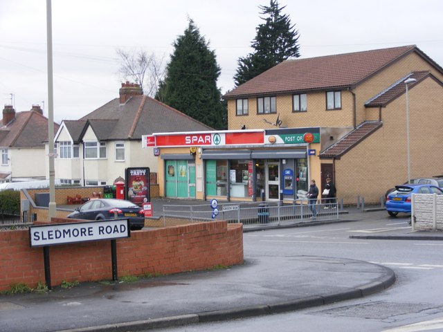
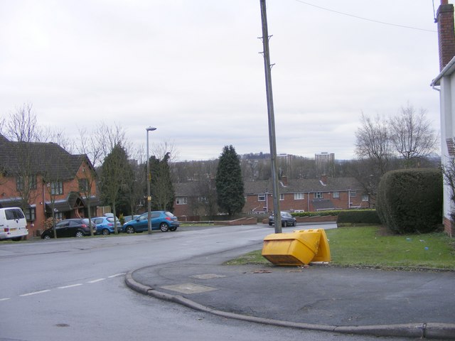
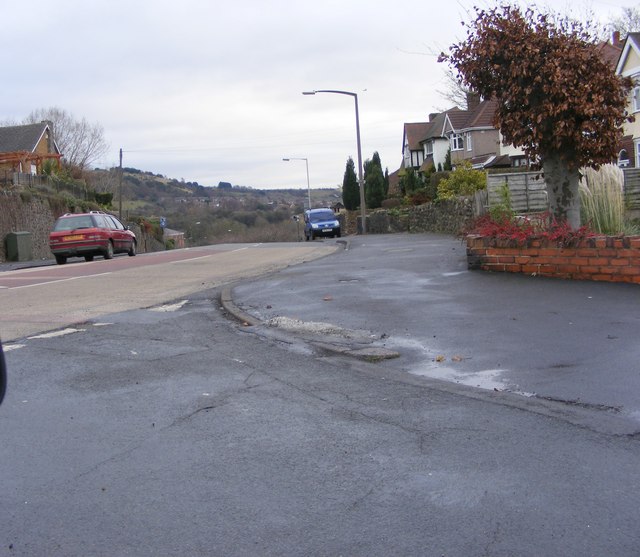
Cawney Hill Images
Images are sourced within 2km of 52.504701/-2.064791 or Grid Reference SO9589. Thanks to Geograph Open Source API. All images are credited.
Cawney Hill is located at Grid Ref: SO9589 (Lat: 52.504701, Lng: -2.064791)
Unitary Authority: Dudley
Police Authority: West Midlands
What 3 Words
///garden.pipe.daily. Near Dudley, West Midlands
Nearby Locations
Related Wikis
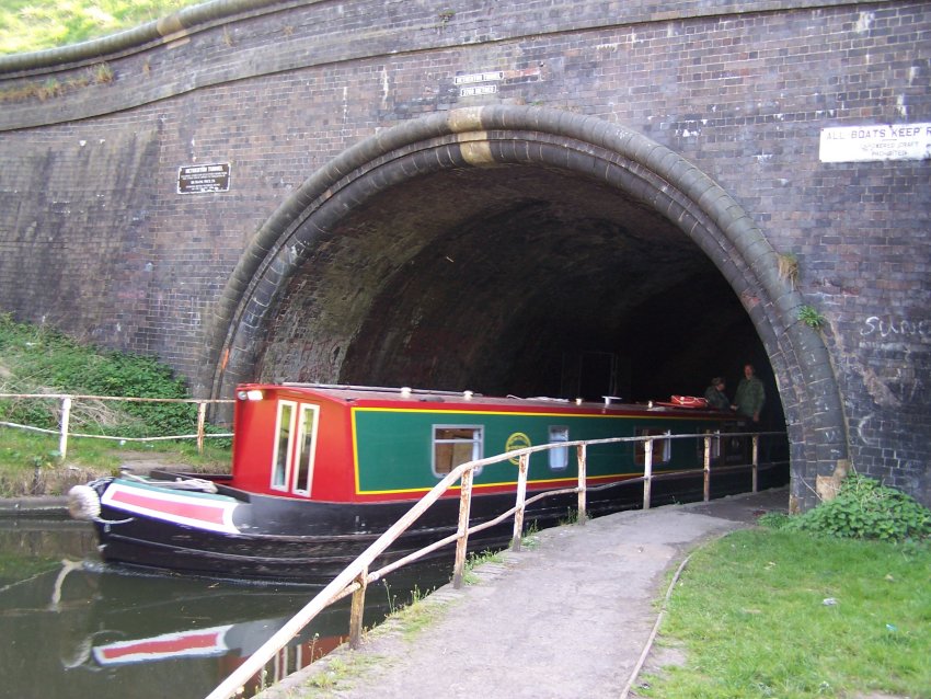
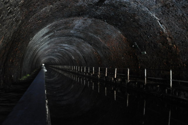
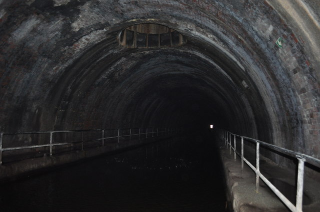
Netherton Tunnel Branch Canal
Netherton Tunnel Branch Canal, in the West Midlands county, England, is part of the Birmingham Canal Navigations, (BCN). It was constructed at a 453–foot...
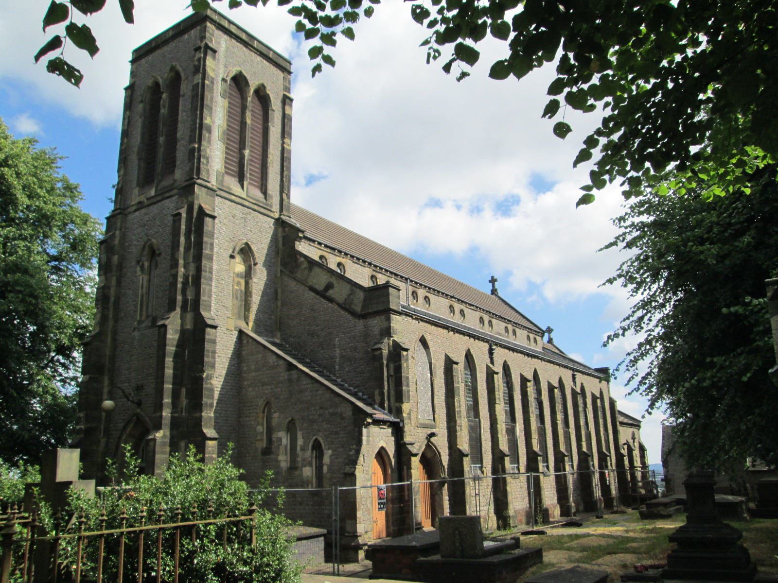
St John's Church, Dudley
The Church of St John the Evangelist, also known as St John's, is a Church of England church, in the Kates Hill area of Dudley, England. It opened in 1840...
Kates Hill
Kates Hill, or Kate's Hill, is a residential area in Dudley, West Midlands, England. == History == Kates Hill was the scene of chaos in 1648 when parliamentarians...

A4123 road
The A4123, is a major road in the West Midlands of the UK linking Wolverhampton with Birmingham via Dudley, also known as the Birmingham New Road (Wolverhampton...
Nearby Amenities
Located within 500m of 52.504701,-2.064791Have you been to Cawney Hill?
Leave your review of Cawney Hill below (or comments, questions and feedback).