Cavenham

Settlement in Suffolk West Suffolk

England

Cavenham

Bridleway from Cavenham Past a variety of agricultural equipment. The sandy surface of the track is typical of the Breckland soil.
Bridleway from Cavenham Credit: Hugh Venables

Cavenham is a small village located in the county of Suffolk, England. Situated approximately 8 miles northwest of Bury St Edmunds, it is part of the West Suffolk district. The village is nestled amidst picturesque countryside, with rolling hills and meandering streams, providing a serene and tranquil atmosphere.

With a population of around 200 residents, Cavenham maintains a close-knit community feel. The village is characterized by its charming thatched cottages and historic buildings, many of which date back several centuries. The centerpiece of Cavenham is the Grade I listed St. Andrew's Church, a beautiful medieval structure with intricate architectural details.

Despite its small size, Cavenham offers a range of amenities to its residents. These include a village hall, a primary school, and a local pub, serving as a hub for social gatherings and community events. The village is also well-connected, with good transport links to nearby towns and cities.

Cavenham's location within the Suffolk countryside provides ample opportunities for outdoor activities. The village is surrounded by scenic walking and cycling routes, allowing residents and visitors to explore the stunning landscapes of the region. Additionally, the nearby Thetford Forest offers further recreational opportunities, including forest walks, wildlife spotting, and mountain biking trails.

In summary, Cavenham is a charming and idyllic village in Suffolk, known for its historic buildings, tight-knit community, and beautiful rural surroundings. It provides a peaceful retreat for those seeking a slower pace of life while still offering convenient access to nearby amenities and outdoor activities.

If you have any feedback on the listing, please let us know in the comments section below.
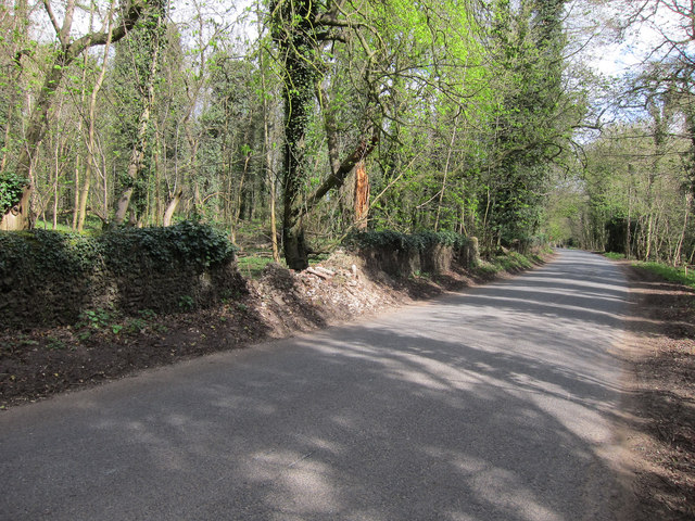
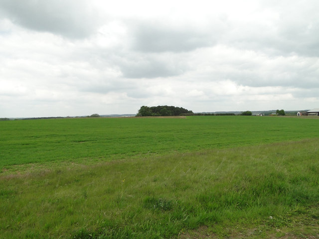
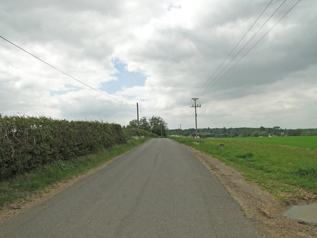
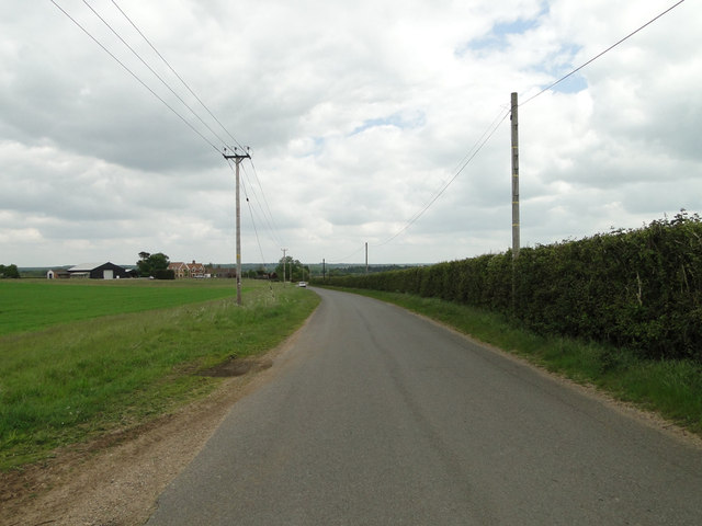
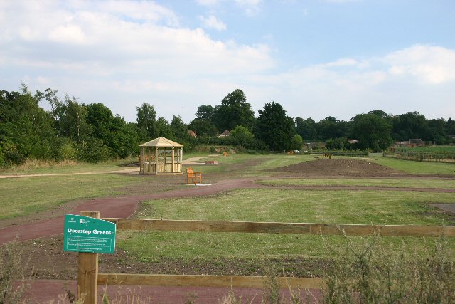
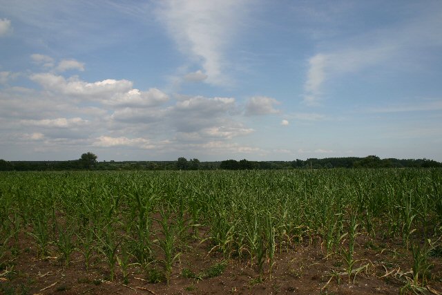
Cavenham Images

Images are sourced within 2km of 52.303059/0.579674 or Grid Reference TL7570. Thanks to Geograph Open Source API. All images are credited.

Bridleway from Cavenham Past a variety of agricultural equipment. The sandy surface of the track is typical of the Breckland soil.
Bridleway from Cavenham
Past a variety of agricultural equipment. The sandy surface of the track is typical of the Breckland soil.
Church of St Andrew, Cavenham At the southern end of the village.
Church of St Andrew, Cavenham
At the southern end of the village.
Cavenham Park boundary wall Collapsed in a few places.
Cavenham Park boundary wall
Collapsed in a few places.
Road around Cavenham Park With Lodge Plantation on the left.
Road around Cavenham Park
With Lodge Plantation on the left.
Porter's Lodge, Cavenham Park
Outdoor reared pigs The fields used tend to change regularly. The aerial images show this as an arable field.
Outdoor reared pigs
The fields used tend to change regularly. The aerial images show this as an arable field.
Minor road to Cavenham
Potato field by Newmarket Plantation Furrowed soil ready for potatoes.
Potato field by Newmarket Plantation
Furrowed soil ready for potatoes.
Lifting Sugar Beet Lifting sugar beet near to Cavenham, Suffolk.
Lifting Sugar Beet
Lifting sugar beet near to Cavenham, Suffolk.
Farm Track Farm track and footpath near to Cavenham, Suffolk.
Farm Track
Farm track and footpath near to Cavenham, Suffolk.
Pigs And Pig Houses Pigs and pig houses near to Cavenham, Suffolk.
Pigs And Pig Houses
Pigs and pig houses near to Cavenham, Suffolk.
Track And Footpath Farm track and public footpath near to Cavenham, Suffolk.
Track And Footpath
Farm track and public footpath near to Cavenham, Suffolk.
Wheatfield near Bunker's Barn
Icknield Way between Lackford and Cavenham
Track to Lackford Estate This is a private track leading to the Lackford Estate, which is a large area of farmland between Lackford and Tuddenham. The photo is taken from the road between Cavenham and Lackford, which is part of the ancient Icknield Way.
Track to Lackford Estate
This is a private track leading to the Lackford Estate, which is a large area of farmland between Lackford and Tuddenham. The photo is taken from the road between Cavenham and Lackford, which is part of the ancient Icknield Way.
'Doorstep Greens' at Cavenham 200 communities around the UK have been funded to develop doorstep greens, creating or enhancing green spaces near to people's homes.  These are designed to help people who experience disadvantage, and places where regeneration of the local environment is crucial.
'Doorstep Greens' at Cavenham
200 communities around the UK have been funded to develop doorstep greens, creating or enhancing green spaces near to people's homes. These are designed to help people who experience disadvantage, and places where regeneration of the local environment is crucial.
Maize field at Icklingham A field to the east of the minor road between Icklingham and Cavenham.
Maize field at Icklingham
A field to the east of the minor road between Icklingham and Cavenham.
Show me another place!

Cavenham is located at Grid Ref: TL7570 (Lat: 52.303059, Lng: 0.579674)

Administrative County: Suffolk

District: West Suffolk

Police Authority: Suffolk

What 3 Words

///airbrush.watches.lamppost. Near Mildenhall, Suffolk

Related Wikis

Cavenham

Cavenham is a village and civil parish in Suffolk, England, 10 kilometres (6 mi) northwest of Bury St Edmunds. It is in the local government district of...

RAF Tuddenham

Royal Air Force Tuddenham or RAF Tuddenham is a former Royal Air Force station located 3.2 miles (5.1 km) south east of Mildenhall, Suffolk, England and...

Icklingham

Icklingham is a village and civil parish in the West Suffolk district of Suffolk in eastern England. It is located about 7 miles (11 km) north-west of...

Black Ditches, Cavenham

Black Ditches is an earthwork close to the village of Cavenham of Suffolk, and part of it is a biological Site of Special Scientific Interest (SSSI). The...

Nearby Amenities

Located within 500m of 52.303059,0.579674
Bus Stop
Post Office
Naptan AtcoCode: 390020272
Naptan Bearing: SE
Naptan CommonName: Post Office
Naptan Indicator: adj
Naptan Landmark: Post Office
Naptan NaptanCode: sufajpwa
Naptan Street: The Street
Shelter: yes
Source: naptan_import;survey
Lat/Long: 52.3006483/0.5806647
Bus Stop
Post Office
Naptan AtcoCode: 390020273
Naptan Bearing: N
Naptan BusStopType: CUS
Naptan CommonName: Post Office
Naptan Indicator: opp
Naptan Landmark: Post Office
Naptan NaptanCode: sufajpwd
Naptan Street: The Street
Naptan Verified: no
Source: naptan_import
Lat/Long: 52.3010215/0.5802892
Power: pole
Lat/Long: 52.3039538/0.5787081
Power: pole
Lat/Long: 52.3024399/0.5738533
Power: pole
Lat/Long: 52.3029533/0.5755324
Power: pole
Lat/Long: 52.3055135/0.5838177
Power: pole
Lat/Long: 52.303483/0.5772624
Power: pole
Lat/Long: 52.3049706/0.5820206
Power: pole
Lat/Long: 52.3044589/0.5803362
Bench
Lat/Long: 52.3007015/0.5806551
Post Box
Collection Times: Mo-Fr 16:45; Sa 09:00
Post Box Mounting: pier
Post Box Type: lamp
Ref: IP28 2153
Royal Cypher: EIIR
Royal Cypher Wikidata: Q33102113
Lat/Long: 52.3006769/0.5806498
Public Bookcase
Booth: K6
Disused Amenity: telephone
Man Made: telephone_box
Public Bookcase Type: phone_box
Lat/Long: 52.3013153/0.5799914
The data included in this document is from www.openstreetmap.org. The data is made available under ODbL.

Have you been to Cavenham?

Leave your review of Cavenham below (or comments, questions and feedback).