Shortlands Plantation

Wood, Forest in Suffolk West Suffolk

England

Shortlands Plantation

Edge of Cavenham Heath
Edge of Cavenham Heath Credit: Hugh Venables

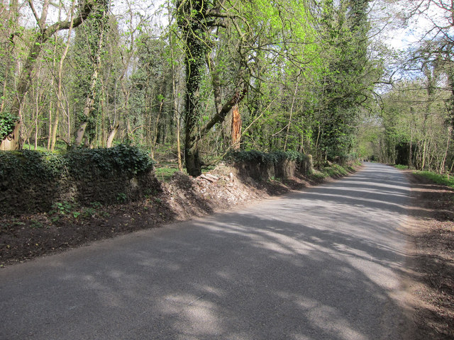
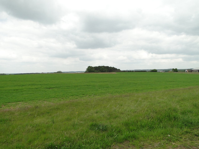
Shortlands Plantation is a picturesque woodland area located in Suffolk, England. It covers an expansive area of land, consisting of dense forests and lush greenery. The plantation is known for its diverse range of tree species, including oak, beech, and birch trees, creating a stunning and vibrant landscape.

The woodland of Shortlands Plantation attracts visitors with its natural beauty and tranquility. It offers a serene environment, perfect for nature enthusiasts and those seeking a peaceful retreat. The plantation is a haven for wildlife, providing a habitat for various species of birds, mammals, and insects.

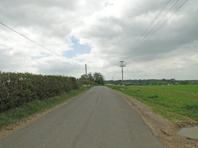
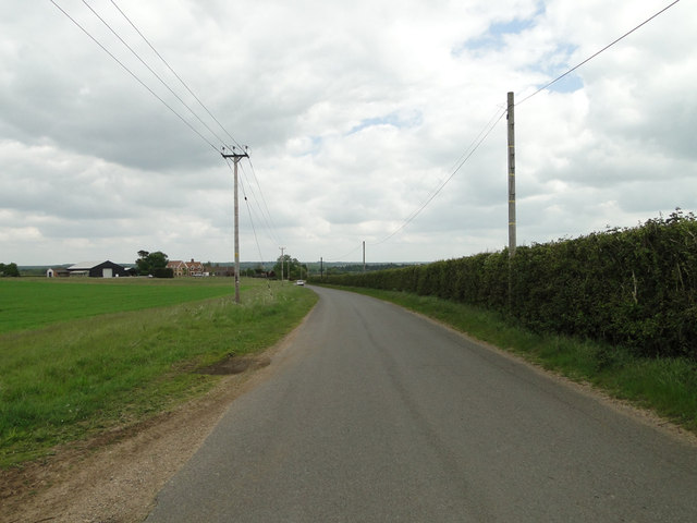
Walking trails wind their way through the plantation, allowing visitors to explore the woodland and immerse themselves in its natural wonders. The trails are well-maintained, providing easy access for all ages and abilities. Along the paths, visitors will encounter charming picnic spots, where they can relax and enjoy the serene surroundings.

Shortlands Plantation also has a rich history, dating back many centuries. It was once used for timber production and has served as a hunting ground for nobility. The plantation is now protected, ensuring the preservation of its natural beauty for generations to come.

Overall, Shortlands Plantation offers a captivating experience for nature lovers and history enthusiasts alike. Its diverse range of trees, abundance of wildlife, and peaceful atmosphere make it a must-visit destination for anyone seeking solace in the heart of Suffolk's countryside.

If you have any feedback on the listing, please let us know in the comments section below.

Shortlands Plantation Images

Images are sourced within 2km of 52.305799/0.57581628 or Grid Reference TL7570. Thanks to Geograph Open Source API. All images are credited.

Edge of Cavenham Heath
Bridleway from Cavenham Past a variety of agricultural equipment. The sandy surface of the track is typical of the Breckland soil.
Bridleway from Cavenham
Past a variety of agricultural equipment. The sandy surface of the track is typical of the Breckland soil.
Church of St Andrew, Cavenham At the southern end of the village.
Church of St Andrew, Cavenham
At the southern end of the village.
Cavenham Park boundary wall Collapsed in a few places.
Cavenham Park boundary wall
Collapsed in a few places.
Road around Cavenham Park With Lodge Plantation on the left.
Road around Cavenham Park
With Lodge Plantation on the left.
Porter's Lodge, Cavenham Park
Outdoor reared pigs The fields used tend to change regularly. The aerial images show this as an arable field.
Outdoor reared pigs
The fields used tend to change regularly. The aerial images show this as an arable field.
Minor road to Cavenham
Potato field by Newmarket Plantation Furrowed soil ready for potatoes.
Potato field by Newmarket Plantation
Furrowed soil ready for potatoes.
Farm Machinery Farm machinery near to Herringswell, Suffolk.
Farm Machinery
Farm machinery near to Herringswell, Suffolk.
Lifting Sugar Beet Lifting sugar beet near to Cavenham, Suffolk.
Lifting Sugar Beet
Lifting sugar beet near to Cavenham, Suffolk.
Farm Track Farm track and footpath near to Cavenham, Suffolk.
Farm Track
Farm track and footpath near to Cavenham, Suffolk.
Pigs And Pig Houses Pigs and pig houses near to Cavenham, Suffolk.
Pigs And Pig Houses
Pigs and pig houses near to Cavenham, Suffolk.
Track And Footpath Farm track and public footpath near to Cavenham, Suffolk.
Track And Footpath
Farm track and public footpath near to Cavenham, Suffolk.
Wheatfield near Bunker's Barn
Icknield Way between Lackford and Cavenham
Track to Lackford Estate This is a private track leading to the Lackford Estate, which is a large area of farmland between Lackford and Tuddenham. The photo is taken from the road between Cavenham and Lackford, which is part of the ancient Icknield Way.
Track to Lackford Estate
This is a private track leading to the Lackford Estate, which is a large area of farmland between Lackford and Tuddenham. The photo is taken from the road between Cavenham and Lackford, which is part of the ancient Icknield Way.
Show me another place!

Shortlands Plantation is located at Grid Ref: TL7570 (Lat: 52.305799, Lng: 0.57581628)

Administrative County: Suffolk

District: West Suffolk

Police Authority: Suffolk

What 3 Words

///pavilions.strict.delays. Near Mildenhall, Suffolk

Related Wikis

RAF Tuddenham

Royal Air Force Tuddenham or RAF Tuddenham is a former Royal Air Force station located 3.2 miles (5.1 km) south east of Mildenhall, Suffolk, England and...

Icklingham

Icklingham is a village and civil parish in the West Suffolk district of Suffolk in eastern England. It is located about 7 miles (11 km) north-west of...

Cavenham

Cavenham is a village and civil parish in Suffolk, England, 10 kilometres (6 mi) northwest of Bury St Edmunds. It is in the local government district of...

Tuddenham

Tuddenham is a village and civil parish in the West Suffolk district of Suffolk in eastern England. In 2005 it had a population of 450. falling to 423...

Nearby Amenities

Located within 500m of 52.305799,0.57581628
Power: pole
Lat/Long: 52.3039538/0.5787081
Power: pole
Lat/Long: 52.3024399/0.5738533
Power: pole
Lat/Long: 52.3029533/0.5755324
Power: pole
Lat/Long: 52.303483/0.5772624
Power: pole
Lat/Long: 52.3049706/0.5820206
Power: pole
Lat/Long: 52.3044589/0.5803362
Power: pole
Lat/Long: 52.3019593/0.5722842
The data included in this document is from www.openstreetmap.org. The data is made available under ODbL.

Have you been to Shortlands Plantation?

Leave your review of Shortlands Plantation below (or comments, questions and feedback).