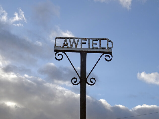
Fuffet Wood

Wood, Forest in Midlothian

Scotland

Fuffet Wood

A68 The Dalkeith bypass with its one layby. The overtaking lane is on a long climb. The collection of white buildings in the distance is Queen Margaret University with eastern Edinburgh to its left.
A68 Credit: Richard Webb

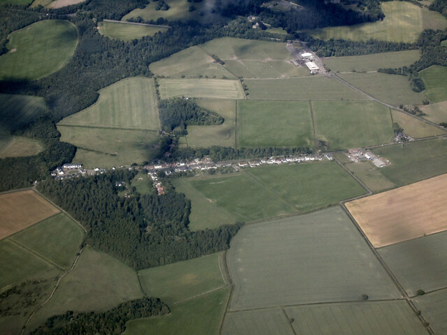
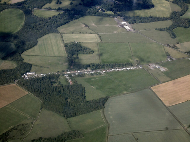
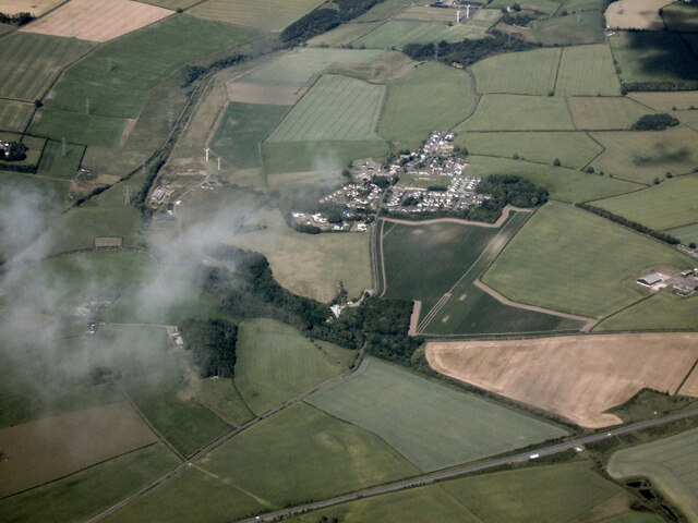
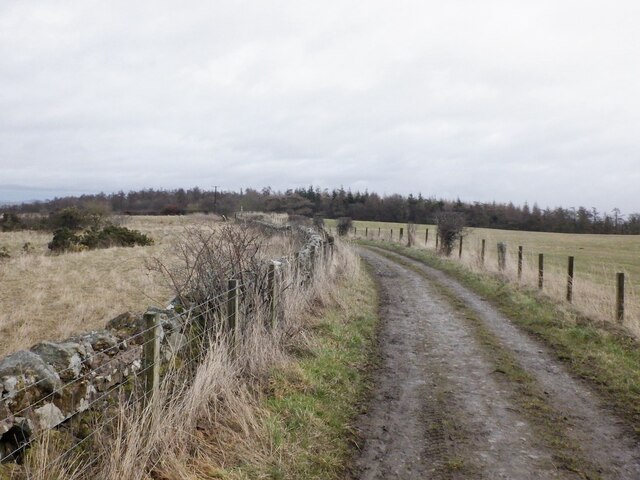
Fuffet Wood is a picturesque forest located in the heart of Midlothian, Scotland. Spanning over 100 acres, this enchanting woodland is renowned for its diverse range of flora and fauna, making it a popular destination for nature enthusiasts and hikers alike.

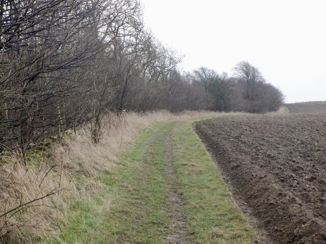
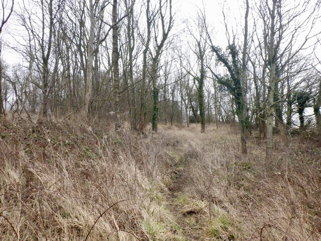
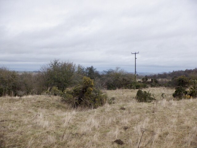
Nestled amidst rolling hills and idyllic countryside, Fuffet Wood is known for its rich biodiversity. The forest boasts a wide variety of trees, including oak, beech, and Scots pine, which provide a stunning backdrop throughout the year. The woodland floor is adorned with a vibrant carpet of wildflowers, creating a colorful spectacle during the spring and summer months.

The forest teems with wildlife, offering a sanctuary for many species. Visitors may be lucky enough to spot red squirrels darting through the trees or catch a glimpse of elusive birds such as the great spotted woodpecker or tawny owl. Fuffet Wood is also home to several deer species, which can often be seen grazing peacefully in the open glades.

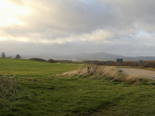
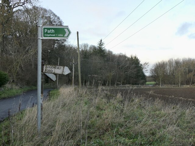
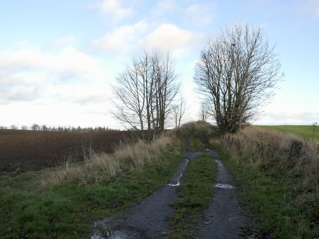
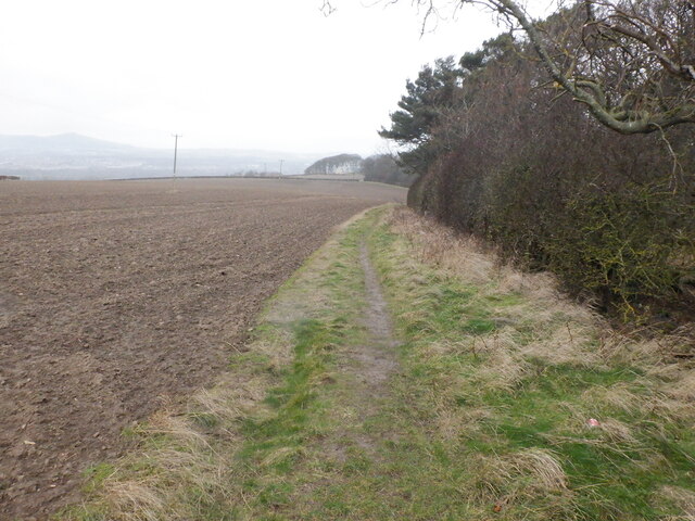
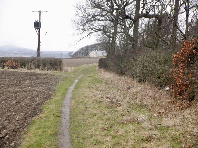
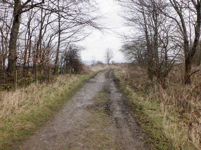
Tranquil walking trails wind their way through the wood, allowing visitors to explore its natural splendor. These paths cater to all abilities, from leisurely strolls to more challenging hikes. Along the way, interpretive signs provide information about the woodland's ecology, history, and conservation efforts.

Fuffet Wood is a haven for those seeking a peaceful retreat in the heart of nature. With its breathtaking scenery, abundant wildlife, and well-maintained trails, this forest is a true gem of Midlothian, inviting visitors to immerse themselves in the beauty of the great outdoors.

If you have any feedback on the listing, please let us know in the comments section below.

Fuffet Wood Images

Images are sourced within 2km of 55.884523/-3.0232942 or Grid Reference NT3666. Thanks to Geograph Open Source API. All images are credited.

A68 The Dalkeith bypass with its one layby. The overtaking lane is on a long climb. The collection of white buildings in the distance is Queen Margaret University with eastern Edinburgh to its left.
A68
The Dalkeith bypass with its one layby. The overtaking lane is on a long climb. The collection of white buildings in the distance is Queen Margaret University with eastern Edinburgh to its left.
Lawfield Farm Sign Sign on public road for Lawfield Farm and Steading above Mayfield in Midlothian.
Lawfield Farm Sign
Sign on public road for Lawfield Farm and Steading above Mayfield in Midlothian.
Edgehead from the air Windmill Wood is in the left foreground.
Edgehead from the air
Windmill Wood is in the left foreground.
Edgehead from the air Windmill Wood is in the left foreground.
Edgehead from the air
Windmill Wood is in the left foreground.
Dalkeith from the air Dalkeith suburbs expanding towards the east.
Dalkeith from the air
Dalkeith suburbs expanding towards the east.
Cousland from the air The A68 Dalkeith Bypass road is in the foreground.
Cousland from the air
The A68 Dalkeith Bypass road is in the foreground.
Beside the A6106 The old A68 descends towards Dalkeith. Here by the bypass it is possible that development could take place.
Beside the A6106
The old A68 descends towards Dalkeith. Here by the bypass it is possible that development could take place.
Signpost near D' Arcy House The implication that the rough track to Edgehead was once a motor road.  This was once a small oilfield.
Signpost near D' Arcy House
The implication that the rough track to Edgehead was once a motor road. This was once a small oilfield.
D' Arcy to Edgehead road Once the Midlothian oilfield, the road like the oilwell (1919-22) is defunct. Still part of the path network.
D' Arcy to Edgehead road
Once the Midlothian oilfield, the road like the oilwell (1919-22) is defunct. Still part of the path network.
Path beside Limekiln Wood It leads to Lawfield. There is a lot of litter in the wood on the right, probably blown in from nearby Mayfield.
Path beside Limekiln Wood
It leads to Lawfield. There is a lot of litter in the wood on the right, probably blown in from nearby Mayfield.
Path beside Limekiln Wood It leads to Lawfield. There is a lot of litter in the wood on the right, probably blown in from nearby Mayfield.
Path beside Limekiln Wood
It leads to Lawfield. There is a lot of litter in the wood on the right, probably blown in from nearby Mayfield.
Lawfield Newly built houses on the site of a farm.
Lawfield
Newly built houses on the site of a farm.
Lawfield Newly built houses on the site of a farm.
Lawfield
Newly built houses on the site of a farm.
Path near D'Arcy Climbing beside Spy Law Wood towards the site of the oilwell.
Path near D'Arcy
Climbing beside Spy Law Wood towards the site of the oilwell.
D'Arcy to Edgehead road Passing Spy Law Wood
D'Arcy to Edgehead road
Passing Spy Law Wood
Spy Law Wood A former limestone quarry
Spy Law Wood
A former limestone quarry
Limestone quarry site, Edgehead Scrub on a 19th century quarry.
Limestone quarry site, Edgehead
Scrub on a 19th century quarry.
D'Arcy to Edgehead road
Show me another place!

Fuffet Wood is located at Grid Ref: NT3666 (Lat: 55.884523, Lng: -3.0232942)

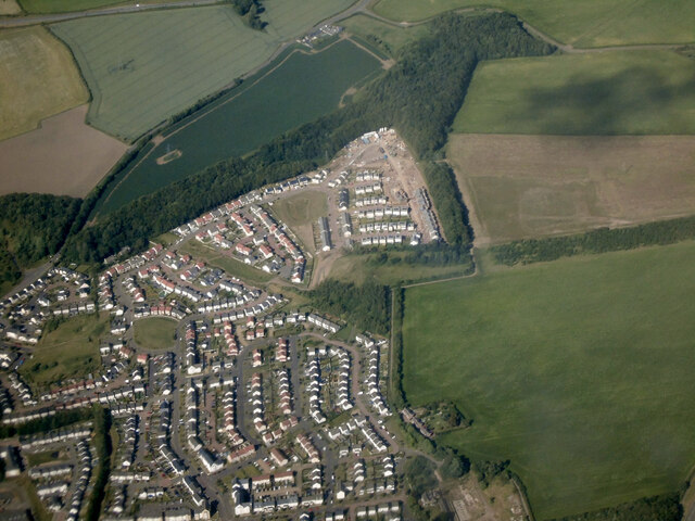
Unitary Authority: Midlothian

Police Authority: The Lothians and Scottish Borders

What 3 Words

///appendix.retraced.circus. Near Mayfield, Midlothian

Related Wikis

Whitehill, Midlothian

Whitehill ( ) is a village in Midlothian in the south-east of Scotland, approximately 1.5 miles (2 km) south-east of Dalkeith and 8.5 miles (13.6 km) from...

D'Arcy, Midlothian

D'Arcy is a hamlet in Midlothian, Scotland, located just south of Dalkeith near Edinburgh. It is ΒΌ mile east of Mayfield and lies within the Civil Parish...

Mayfield, Midlothian

Mayfield is a community in Midlothian, Scotland, located just south of Dalkeith near Edinburgh between the A68 and the A7 south. It had an estimated population...

Easthouses

Easthouses is a settlement in Midlothian, Scotland, lying to the east of Newtongrange and south of Dalkeith. It forms the northern extension of the settlement...

Nearby Amenities

Located within 500m of 55.884523,-3.0232942
Langlaw
Place: hamlet
Lat/Long: 55.8842844/-3.0254067
Power: pole
Lat/Long: 55.886862/-3.0288108
Power: pole
Lat/Long: 55.8861492/-3.0277981
Power: pole
Lat/Long: 55.8854352/-3.0267959
Power: pole
Lat/Long: 55.8847094/-3.0257561
The data included in this document is from www.openstreetmap.org. The data is made available under ODbL.

Have you been to Fuffet Wood?

Leave your review of Fuffet Wood below (or comments, questions and feedback).