Cowden Bog Wood

Wood, Forest in Midlothian

Scotland

Cowden Bog Wood

A68 The Dalkeith bypass with its one layby. The overtaking lane is on a long climb. The collection of white buildings in the distance is Queen Margaret University with eastern Edinburgh to its left.
A68 Credit: Richard Webb

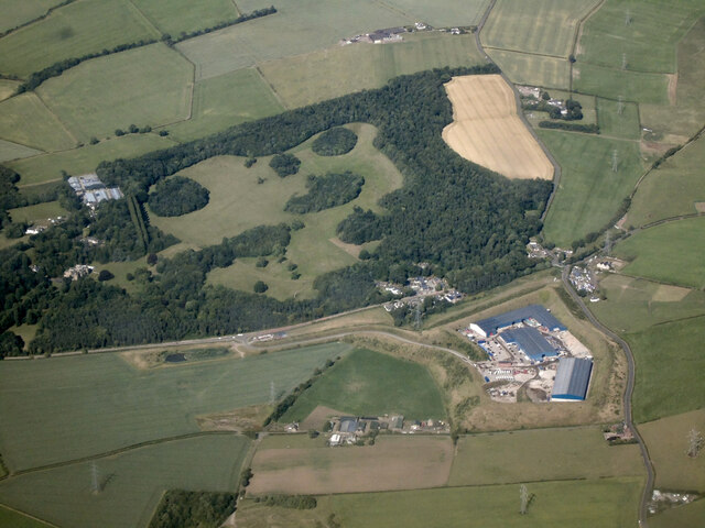
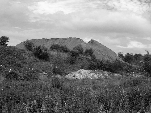
Cowden Bog Wood is a nature reserve located in Midlothian, Scotland. Spanning over 40 hectares, the wood is situated in the heart of the Penicuik-Blackburn Valley. The reserve is managed by the Scottish Wildlife Trust and is renowned for its exceptional diversity of flora and fauna.

The wood is characterized by its wetland environment, with a network of ponds, marshes, and streams. These wet areas provide a habitat for a wide range of plant species, including sedges, reeds, and willows. In spring, the wood comes alive with an array of colorful wildflowers such as bluebells, marsh marigolds, and orchids.

In addition to its rich plant life, Cowden Bog Wood is home to a variety of animal species. Visitors may spot otters, voles, and water shrews around the water bodies, while the woodlands provide a haven for birds such as woodpeckers, warblers, and the elusive nightjar. The reserve also supports a population of butterflies and dragonflies, adding to its biodiversity.

The wood offers several walking trails, allowing visitors to explore its diverse habitats and experience its natural beauty. Interpretive signs along the paths provide information about the flora and fauna found within the reserve. Cowden Bog Wood is a popular destination for nature enthusiasts, birdwatchers, and photographers seeking to capture the unique landscapes and wildlife it offers.

Overall, Cowden Bog Wood is a remarkable nature reserve in Midlothian, providing a vital habitat for numerous species and offering visitors a chance to immerse themselves in the beauty of Scotland's natural environment.

If you have any feedback on the listing, please let us know in the comments section below.

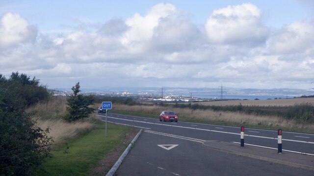
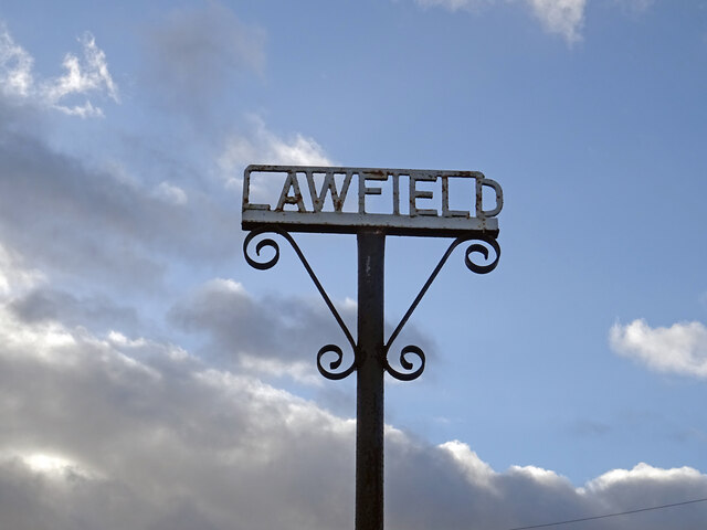
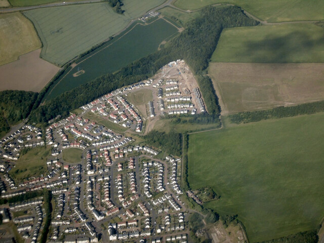
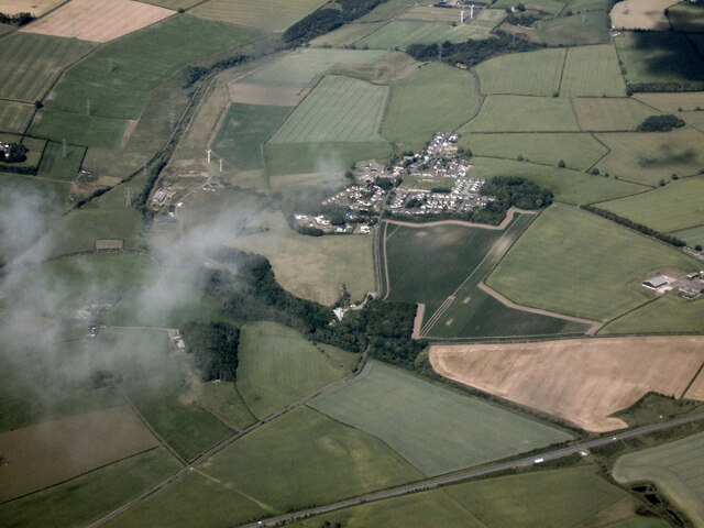
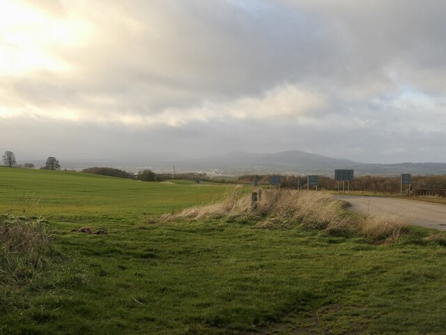
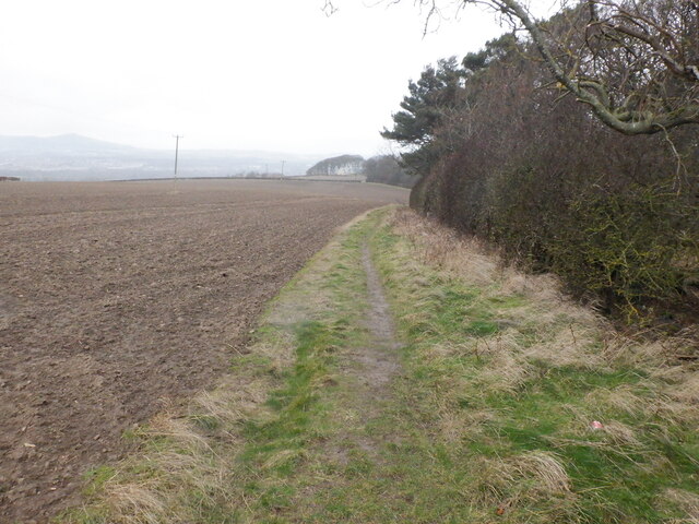
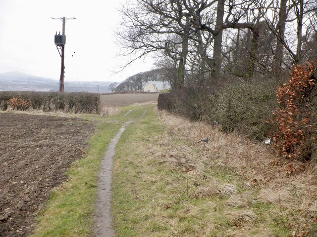
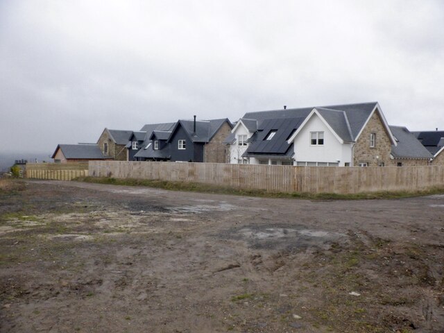
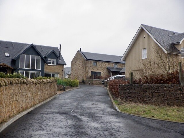
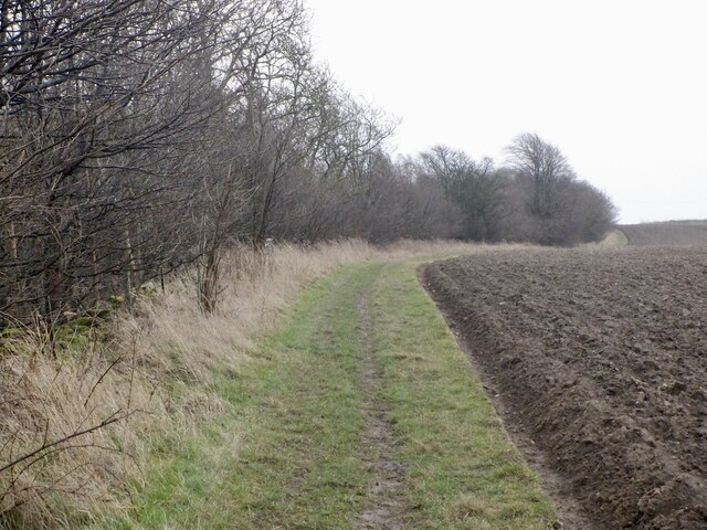
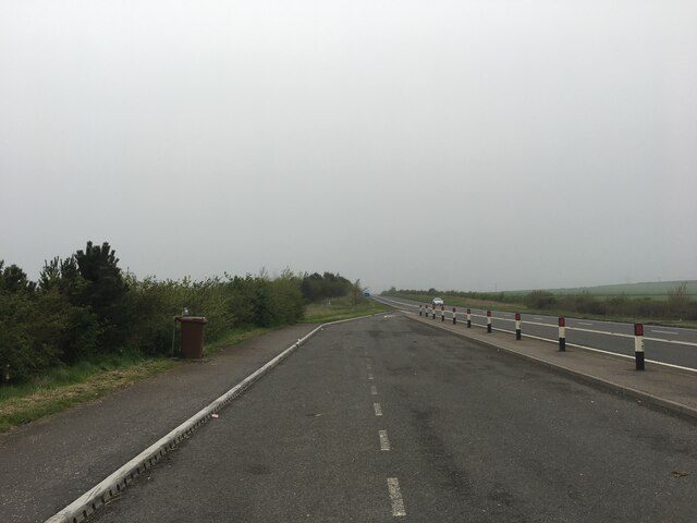
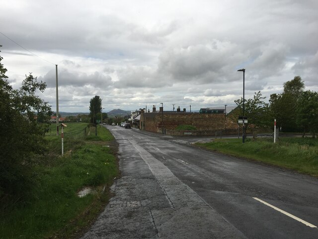
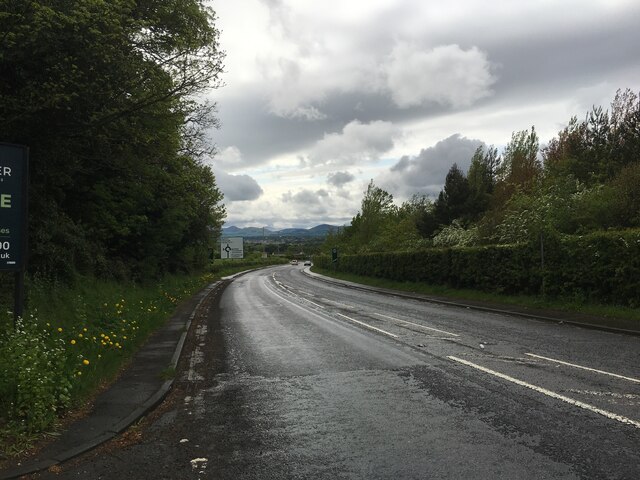
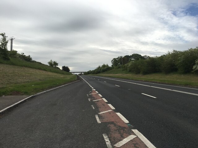
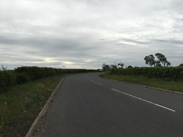
Cowden Bog Wood Images

Images are sourced within 2km of 55.891788/-3.0215667 or Grid Reference NT3666. Thanks to Geograph Open Source API. All images are credited.

A68 The Dalkeith bypass with its one layby. The overtaking lane is on a long climb. The collection of white buildings in the distance is Queen Margaret University with eastern Edinburgh to its left.
A68
The Dalkeith bypass with its one layby. The overtaking lane is on a long climb. The collection of white buildings in the distance is Queen Margaret University with eastern Edinburgh to its left.
Lawfield Farm Sign Sign on public road for Lawfield Farm and Steading above Mayfield in Midlothian.
Lawfield Farm Sign
Sign on public road for Lawfield Farm and Steading above Mayfield in Midlothian.
Dalkeith from the air Dalkeith suburbs expanding towards the east.
Dalkeith from the air
Dalkeith suburbs expanding towards the east.
Cousland from the air The A68 Dalkeith Bypass road is in the foreground.
Cousland from the air
The A68 Dalkeith Bypass road is in the foreground.
Smeaton Shaw from the air The recycling facility has greatly expanded over the years <a href="https://www.geograph.org.uk/photo/3595822">NT3668 : Former Smeaton Bing from the air</a>.

Carberry Tower House and estate can be seen in the background <span class="nowrap"><a title="https://www.carberrytower.com/" rel="nofollow ugc noopener" href="https://www.carberrytower.com/">Link</a><img style="margin-left:2px;" alt="External link" title="External link - shift click to open in new window" src="https://s1.geograph.org.uk/img/external.png" width="10" height="10"/></span> .
Smeaton Shaw from the air
The recycling facility has greatly expanded over the years NT3668 : Former Smeaton Bing from the air. Carberry Tower House and estate can be seen in the background LinkExternal link .
Beside the A6106 The old A68 descends towards Dalkeith. Here by the bypass it is possible that development could take place.
Beside the A6106
The old A68 descends towards Dalkeith. Here by the bypass it is possible that development could take place.
Path beside Limekiln Wood It leads to Lawfield. There is a lot of litter in the wood on the right, probably blown in from nearby Mayfield.
Path beside Limekiln Wood
It leads to Lawfield. There is a lot of litter in the wood on the right, probably blown in from nearby Mayfield.
Path beside Limekiln Wood It leads to Lawfield. There is a lot of litter in the wood on the right, probably blown in from nearby Mayfield.
Path beside Limekiln Wood
It leads to Lawfield. There is a lot of litter in the wood on the right, probably blown in from nearby Mayfield.
Lawfield Newly built houses on the site of a farm.
Lawfield
Newly built houses on the site of a farm.
Lawfield Newly built houses on the site of a farm.
Lawfield
Newly built houses on the site of a farm.
Path near D'Arcy Climbing beside Spy Law Wood towards the site of the oilwell.
Path near D'Arcy
Climbing beside Spy Law Wood towards the site of the oilwell.
Lay-by on the A68 near Dalkeith
Road through Whitehill
A6106 towards Dalkeith
A68 Dalkeith bypass
A68 Dalkeith bypass
Road towards Fordel Dean
Colliery waste, Smeaton Shaw. The last remains of Dalkeith Colliery, closed around 1978.
Colliery waste, Smeaton Shaw.
The last remains of Dalkeith Colliery, closed around 1978.
Substation, Smeaton Part of a large complex of electrical installations, part of the grid used to (usually) export electricity to England.
Substation, Smeaton
Part of a large complex of electrical installations, part of the grid used to (usually) export electricity to England.
Show me another place!

Cowden Bog Wood is located at Grid Ref: NT3666 (Lat: 55.891788, Lng: -3.0215667)

Unitary Authority: Midlothian

Police Authority: The Lothians and Scottish Borders

What 3 Words

///additives.premiums.worlds. Near Mayfield, Midlothian

Related Wikis

Whitehill, Midlothian

Whitehill ( ) is a village in Midlothian in the south-east of Scotland, approximately 1.5 miles (2 km) south-east of Dalkeith and 8.5 miles (13.6 km) from...

Dalkeith High School

Dalkeith High School is a secondary state school located in Dalkeith, Midlothian, Scotland. == History == Dalkeith High School was previously the historic...

St David's Roman Catholic High School

St David's Roman Catholic High School is a Catholic secondary state school located at Cousland Road in Dalkeith, Midlothian, Scotland. It has shared the...

Cousland Castle

Cousland Castle is a ruined castle near the town of Cousland, Midlothian, Scotland. == Structure == The 16th century ruins of the tower house and enclosure...

Cousland

Cousland is a village in Midlothian, Scotland. It is located 4 kilometres (2.5 mi) east of Dalkeith and 3 kilometres (1.9 mi) west of Ormiston, on a hill...

Easthouses

Easthouses is a settlement in Midlothian, Scotland, lying to the east of Newtongrange and south of Dalkeith. It forms the northern extension of the settlement...

D'Arcy, Midlothian

D'Arcy is a hamlet in Midlothian, Scotland, located just south of Dalkeith near Edinburgh. It is ΒΌ mile east of Mayfield and lies within the Civil Parish...

Edgehead

Edgehead (also known as Chesterhill) is a village in Midlothian, Scotland. == Location == Edgehead is situated east of Dewartown and Mayfield, north-west...

Nearby Amenities

Located within 500m of 55.891788,-3.0215667
Power: tower
Lat/Long: 55.889618/-3.0195713
Power: tower
Lat/Long: 55.8909427/-3.0215559
Power: tower
Lat/Long: 55.8930007/-3.0245092
Power: tower
Lat/Long: 55.8946716/-3.0269366
Power: pole
Lat/Long: 55.8891956/-3.0269334
Power: pole
Lat/Long: 55.8895368/-3.0260395
The data included in this document is from www.openstreetmap.org. The data is made available under ODbL.

Have you been to Cowden Bog Wood?

Leave your review of Cowden Bog Wood below (or comments, questions and feedback).