Gowktree Wood
Wood, Forest in Banffshire
Scotland
Gowktree Wood
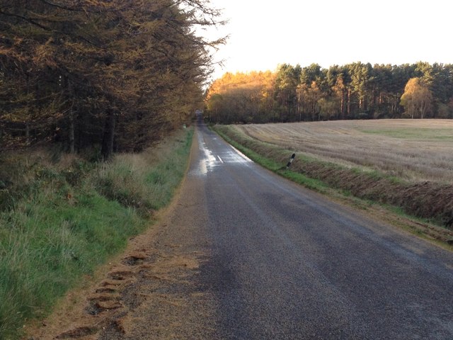
Gowktree Wood is a picturesque forest located in the county of Banffshire, Scotland. Covering an area of approximately 100 acres, it is a popular destination for nature enthusiasts and outdoor lovers. The wood is situated near the village of Cornhill, just a few miles west of the River Deveron.
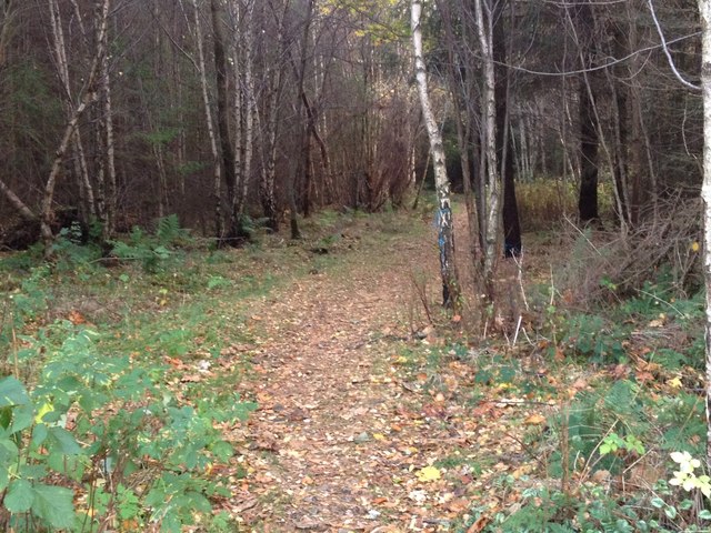
The wood is predominantly composed of native tree species such as oak, birch, and pine, creating a diverse and vibrant ecosystem. The dense canopy of trees provides a peaceful and tranquil environment, making it an ideal place for walking, birdwatching, and exploring the natural surroundings.
Gowktree Wood boasts a rich biodiversity, with a variety of wildlife inhabiting its grounds. Visitors may have the chance to spot red squirrels, roe deer, and a wide range of bird species including woodpeckers, owls, and finches. The wood also serves as a habitat for various flora species, including bluebells and wild garlic, which create stunning displays during the spring months.
There are well-maintained walking trails throughout the wood, allowing visitors to easily navigate and appreciate its beauty. These paths meander through the trees, offering breathtaking views of the surrounding countryside. Additionally, picnic areas and benches are available, providing opportunities for visitors to relax and enjoy a meal amidst the peaceful ambiance.
Gowktree Wood is an enchanting destination that offers a unique blend of natural beauty, tranquility, and wildlife. It is a must-visit location for those seeking a peaceful retreat in the heart of Banffshire's picturesque landscape.
If you have any feedback on the listing, please let us know in the comments section below.
Gowktree Wood Images
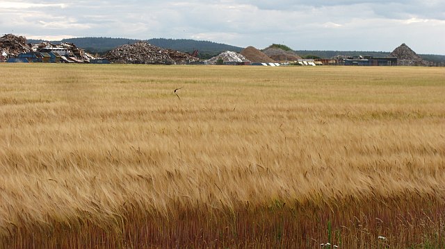
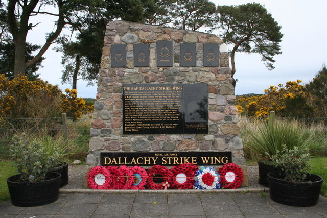
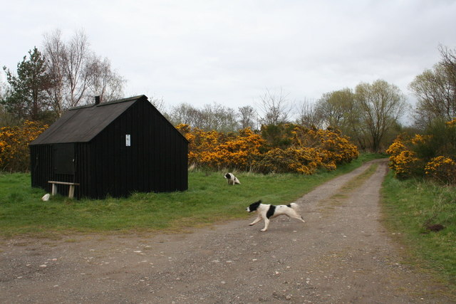
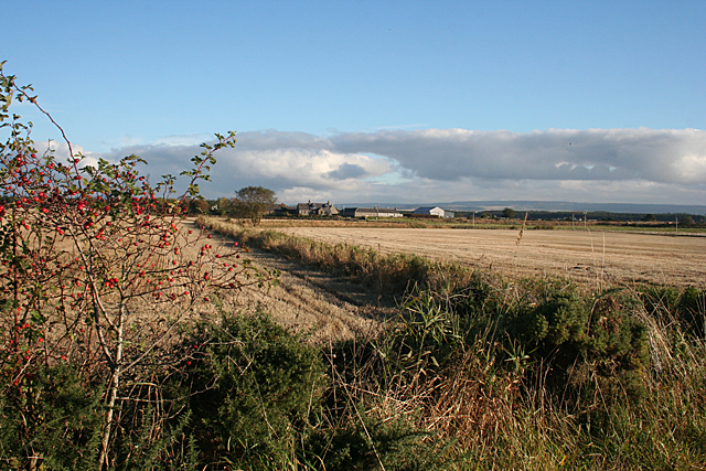
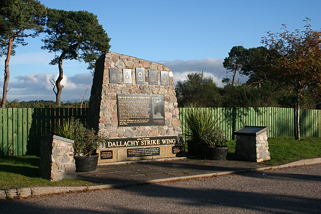
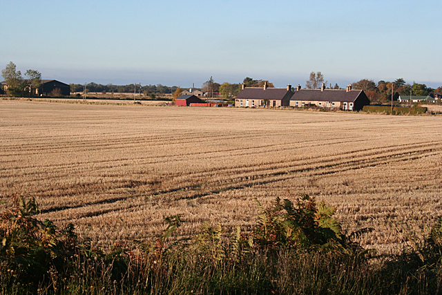
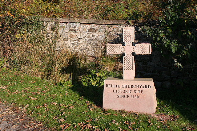
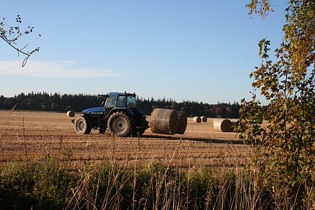
Images are sourced within 2km of 57.645116/-3.0722199 or Grid Reference NJ3662. Thanks to Geograph Open Source API. All images are credited.


Gowktree Wood is located at Grid Ref: NJ3662 (Lat: 57.645116, Lng: -3.0722199)
Unitary Authority: Moray
Police Authority: North East
What 3 Words
///acrobat.skillet.burn. Near Fochabers, Moray
Nearby Locations
Related Wikis

Upper Dallachy
Upper Dallachy is a small village situated in Moray, Scotland, approximately 2 miles south-east of Spey Bay. The village is located next to the now-abandoned...

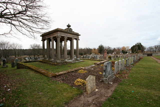
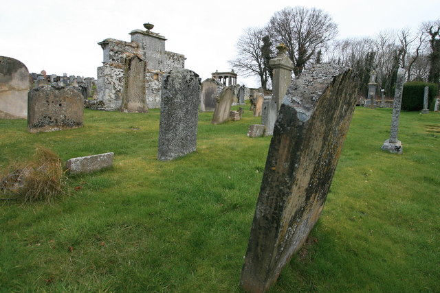
Gordon Tomb
The Gordon Tomb is a classical colonnaded mausoleum in the parish of Bellie in Moray, Scotland. It houses the sarcophagi of the second wife of the 4th...

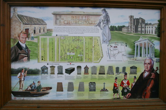
Old Church of St John
The Old Church of St John is a ruined church, incorporating a finely carved sacrament house and situated within a historic burial ground in Kirktown of...
Lower Auchenreath
Lower Auchenreath is a tiny rural settlement situated in the North East Coast of Scotland. It is home to a mixed arable/animal farm and is only a mile...
Nearby Amenities
Located within 500m of 57.645116,-3.0722199Have you been to Gowktree Wood?
Leave your review of Gowktree Wood below (or comments, questions and feedback).