The Covert

Wood, Forest in Fife

Scotland

The Covert

1A91 Edinburgh to Aberdeen service at Springfield
1A91 Edinburgh to Aberdeen service at Springfield Credit: Peter Moore

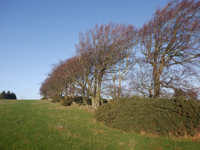
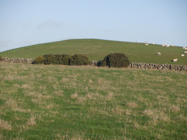
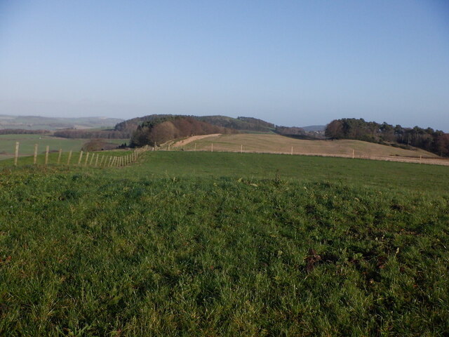
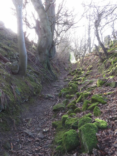
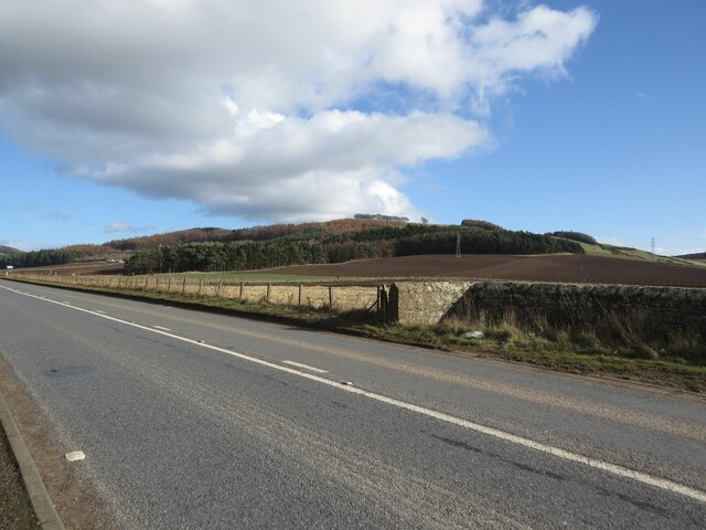
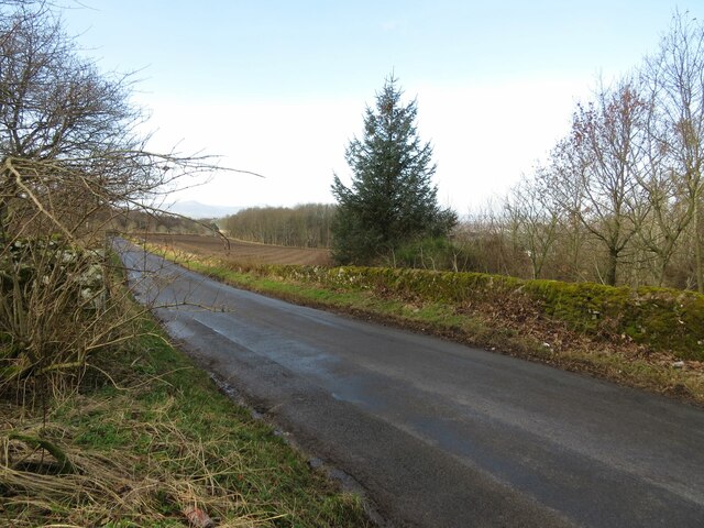
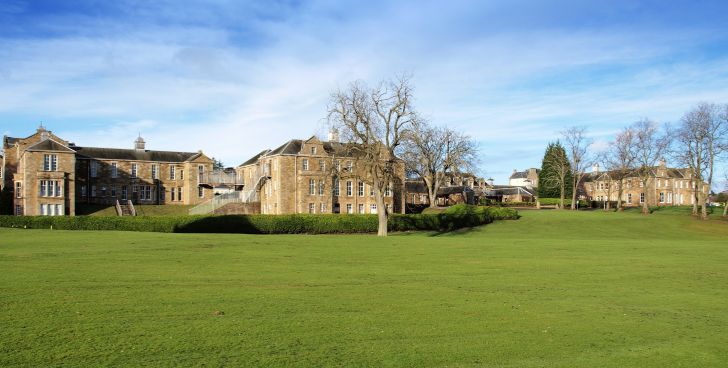
The Covert in Fife, Scotland, is a serene woodland area situated in the picturesque countryside. Located near the village of Coaltown of Balgonie, this ancient forest is spread over a vast expanse of approximately 100 acres. The Covert is home to a diverse range of plant and animal species, making it an important ecological site.

The forest mainly consists of native tree species such as oak, birch, and hazel, creating a dense canopy that provides shelter and habitat for numerous woodland creatures. The forest floor is adorned with a rich tapestry of wildflowers, including bluebells, primroses, and foxgloves, which paint the forest with vibrant colors during the spring and summer months.

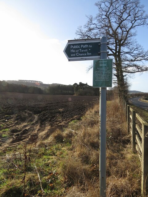
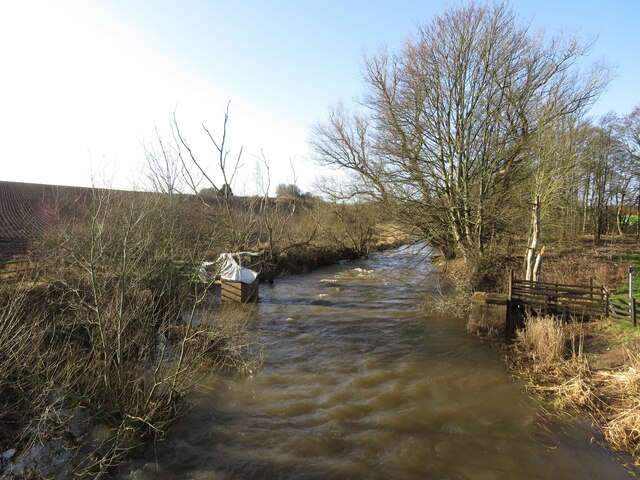
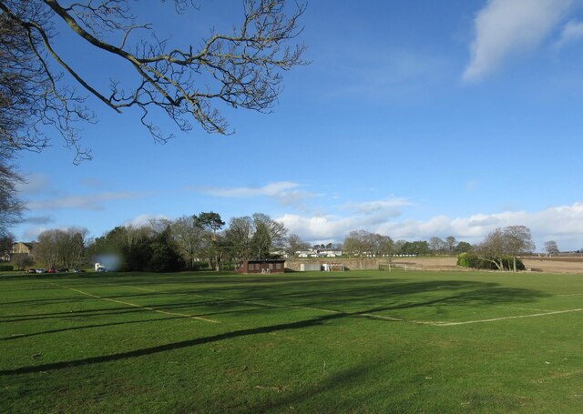
The Covert is a popular destination for nature lovers, hikers, and outdoor enthusiasts seeking solace in the tranquil surroundings. The forest offers a network of well-maintained trails that wind through its enchanting pathways, allowing visitors to explore its natural beauty at their own pace. Along these trails, one may stumble upon hidden ponds, babbling brooks, and even the occasional glimpse of a red squirrel or deer darting through the undergrowth.

In addition to its recreational appeal, The Covert also plays an important role in conserving biodiversity in the region. The forest provides a safe haven for various bird species, including woodpeckers, owls, and warblers. The Covert is also known for its population of rare and elusive butterflies, adding to the ecological significance of the area.

Overall, The Covert in Fife is a treasured woodland retreat, offering visitors a chance to reconnect with nature and immerse themselves in the beauty and tranquility of this remarkable forest ecosystem.

If you have any feedback on the listing, please let us know in the comments section below.

The Covert Images

Images are sourced within 2km of 56.287605/-3.0339102 or Grid Reference NO3611. Thanks to Geograph Open Source API. All images are credited.

1A91 Edinburgh to Aberdeen service at Springfield
Stubble, Chance Inn
Stubble, Chance Inn
Tod's Wood
Tod's Wood
Walton Hill
Walton Hill
Summit, Walton Hill
Summit, Walton Hill
The tattered remains of NCN1 I dont tag the National Cycle Network anymore since Sustrans dismantled large chunks of it making the signage confusing and actually spending money covering up the numbers and erecting silly signs like this. The route is of course still there but only promoted as a lot of fragments scattered over the land.

The road that they are worried about is quiet. (There is a short bit of A916 first)
The tattered remains of NCN1
I dont tag the National Cycle Network anymore since Sustrans dismantled large chunks of it making the signage confusing and actually spending money covering up the numbers and erecting silly signs like this. The route is of course still there but only promoted as a lot of fragments scattered over the land. The road that they are worried about is quiet. (There is a short bit of A916 first)
Benchmark, Chance Inn Ordnance Survey benchmark, described on database at <span class="nowrap"><a title="https://www.bench-marks.org.uk/bm163965" rel="nofollow ugc noopener" href="https://www.bench-marks.org.uk/bm163965">Link</a><img style="margin-left:2px;" alt="External link" title="External link - shift click to open in new window" src="https://s1.geograph.org.uk/img/external.png" width="10" height="10"/></span>. For context photo, see <a href="https://www.geograph.org.uk/photo/7462703">NO3710 : Wall, Chance Inn</a>.
Benchmark, Chance Inn
Ordnance Survey benchmark, described on database at LinkExternal link. For context photo, see NO3710 : Wall, Chance Inn.
Footpath to Chance Inn and Hill of Tarvit
River Eden south of Cupar Muir
Benchmark on farm building, Elmwood College Farm, Cupar Muir Ordnance Survey benchmark described on database at <span class="nowrap"><a title="https://www.bench-marks.org.uk/bm190855" rel="nofollow ugc noopener" href="https://www.bench-marks.org.uk/bm190855">Link</a><img style="margin-left:2px;" alt="External link" title="External link - shift click to open in new window" src="https://s1.geograph.org.uk/img/external.png" width="10" height="10"/></span>. For context photo, see <a href="https://www.geograph.org.uk/photo/7462693">NO3512 : Elmwood College Farm, Cupar Muir</a>.
Benchmark on farm building, Elmwood College Farm, Cupar Muir
Ordnance Survey benchmark described on database at LinkExternal link. For context photo, see NO3512 : Elmwood College Farm, Cupar Muir.
Benchmark on wall near Cults Mill Ordnance Survey benchmark on wall on A914 near Cults Mill. Database entry: <span class="nowrap"><a title="https://www.bench-marks.org.uk/bm163969" rel="nofollow ugc noopener" href="https://www.bench-marks.org.uk/bm163969">Link</a><img style="margin-left:2px;" alt="External link" title="External link - shift click to open in new window" src="https://s1.geograph.org.uk/img/external.png" width="10" height="10"/></span>
Benchmark on wall near Cults Mill
Ordnance Survey benchmark on wall on A914 near Cults Mill. Database entry: LinkExternal link
Lovely old footpath to Scotstarvit Tower
Recreational ground, Stratheden Hospital
Entrance to Elmwood Golf Course
Boundary Wall, Crawley House, Springfield An Ordnance Survey benchmark can be seen at the bottom right of the photo. For close up photo, see <a title="https://www.geograph.org.uk/photo/6347903" href="https://www.geograph.org.uk/photo/6347903">Link</a> and for database entry, see <span class="nowrap"><a title="https://www.bench-marks.org.uk/bm114172" rel="nofollow ugc noopener" href="https://www.bench-marks.org.uk/bm114172">Link</a><img style="margin-left:2px;" alt="External link" title="External link - shift click to open in new window" src="https://s1.geograph.org.uk/img/external.png" width="10" height="10"/></span>. See also <a title="https://www.geograph.org.uk/photo/6347905" href="https://www.geograph.org.uk/photo/6347905">Link</a>.
Boundary Wall, Crawley House, Springfield
An Ordnance Survey benchmark can be seen at the bottom right of the photo. For close up photo, see Link and for database entry, see LinkExternal link. See also Link.
A914 near Cults Lady Mary's Wood in the background.
A914 near Cults
Lady Mary's Wood in the background.
Elmwood College Farm, Cupar Muir There is an Ordnance Survey benchmark on this building. See <a href="https://www.geograph.org.uk/photo/7462684">NO3512 : Benchmark on farm building, Elmwood College Farm, Cupar Muir</a> for close up photo.
Elmwood College Farm, Cupar Muir
There is an Ordnance Survey benchmark on this building. See NO3512 : Benchmark on farm building, Elmwood College Farm, Cupar Muir for close up photo.
Minor road to Springfield This road leaves the A916 sharply in the next square east (NO3711) and ends at Hammerhead Toll after crossing the A914 and passing through Springfield.
Minor road to Springfield
This road leaves the A916 sharply in the next square east (NO3711) and ends at Hammerhead Toll after crossing the A914 and passing through Springfield.
Show me another place!

The Covert is located at Grid Ref: NO3611 (Lat: 56.287605, Lng: -3.0339102)

Unitary Authority: Fife

Police Authority: Fife

What 3 Words

///slimming.glassware.launch. Near Cupar, Fife

Nearby Locations

The Covert

Related Wikis

St Andrews Burghs (UK Parliament constituency)

St Andrews Burghs was a district of burghs constituency, representing various burghs of Fife, Scotland, in the House of Commons of the Parliament of the...

Scotstarvit Tower

Scotstarvit Tower is a tower house in Fife, Scotland. It is situated 2 miles (3.2 km) south of Cupar, between Tarvit Hill and Walton Hill, south of the...

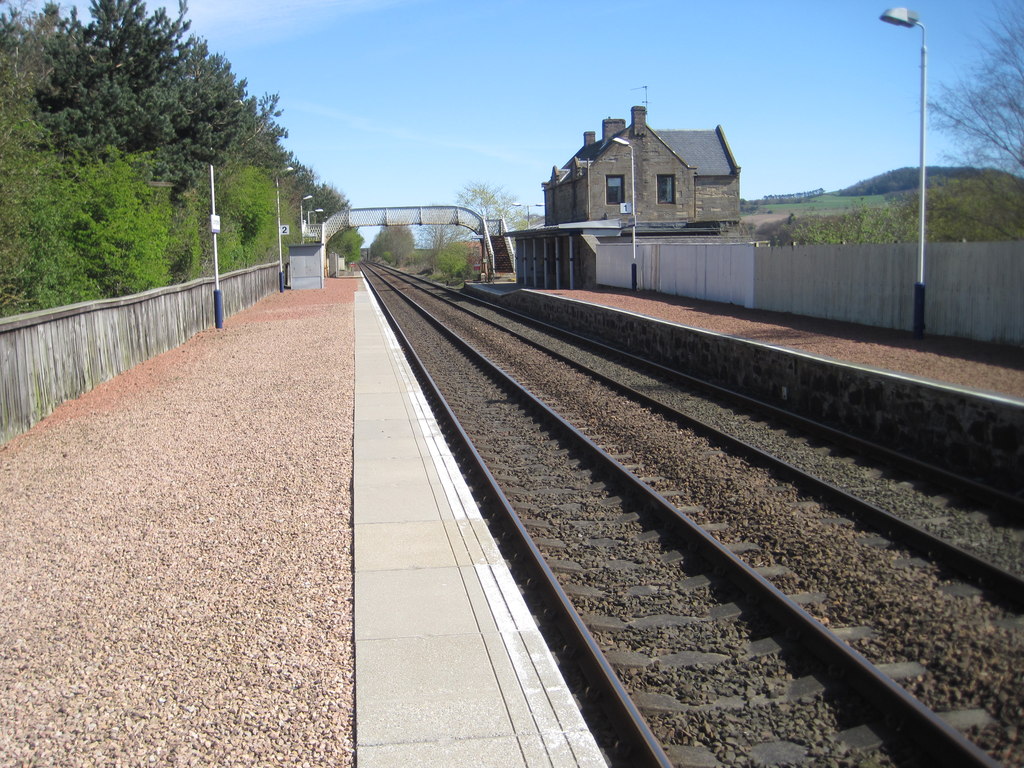
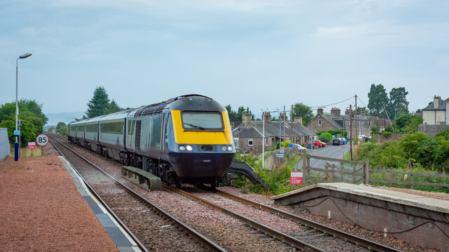
Springfield railway station (Scotland)

Springfield railway station serves the village of Springfield in Fife, Scotland. The station has two platforms and is unstaffed. Services are operated...

Springfield, Fife

Springfield is a village that lies at the edge of the Howe of Fife, to the south-west of the town of Cupar, Fife, Scotland. The origin of the community...

Hill of Tarvit

The Hill of Tarvit is a 20th-century mansion house and gardens in Fife, Scotland. They were designed by Sir Robert Lorimer and are today owned by the National...

Cupar Muir

Cupar Muir or Cuparmuir is a hamlet or small village situated just outside the town of Cupar, Fife. Lying around 25.5 miles (41 km) north of Edinburgh...

Stratheden, Fife

Stratheden (Gaelic: Srath Aodainn) is a hamlet 2 miles west of Cupar, and just north of Springfield, in Fife, Scotland. Stratheden Hospital was built as...

Stratheden Hospital

Stratheden Hospital is currently a small community hospital in Stratheden, Cupar, Fife which was originally called Fife and Kinross District Asylum. Its...

Nearby Amenities

Located within 500m of 56.287605,-3.0339102
Power: tower
Lat/Long: 56.289341/-3.0363998
Power: tower
Lat/Long: 56.2868414/-3.0394183
Power: tower
Lat/Long: 56.2917553/-3.033484
Earthwork
Historic: archaeological_site
Lat/Long: 56.2864368/-3.0341418
The data included in this document is from www.openstreetmap.org. The data is made available under ODbL.

Have you been to The Covert?

Leave your review of The Covert below (or comments, questions and feedback).