Roman Camp Wood
Wood, Forest in Banffshire
Scotland
Roman Camp Wood
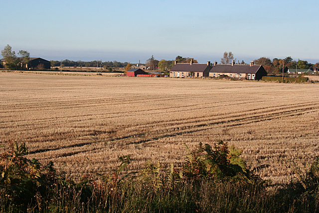
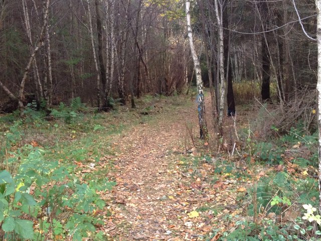
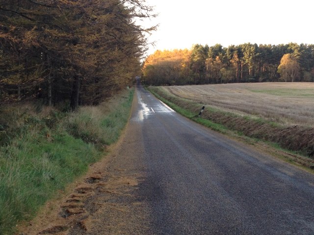
Roman Camp Wood is a historical site located in Banffshire, Scotland. It is an ancient forest that holds significant importance due to its association with the Roman period. The wood is situated near the village of Avochie and covers an area of approximately 16 hectares.
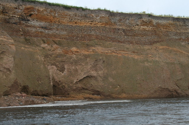
The site gets its name from the presence of a Roman marching camp that was established here during the 1st and 2nd centuries AD. This camp served as a temporary military base for the Roman army during their conquest of northern Britain. The camp was strategically positioned along the Roman road that connected the eastern coast of Scotland with the Highlands.
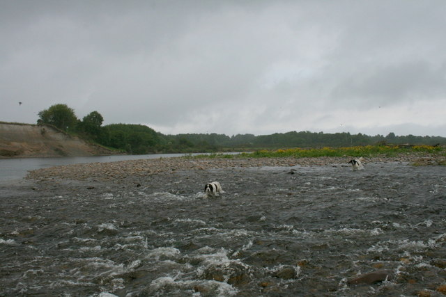
The wood itself is a mixture of native trees, including oak, birch, and pine, providing a diverse and vibrant ecosystem. It is home to various species of wildlife, including red squirrels, roe deer, and a wide range of bird species.
Roman Camp Wood offers visitors a chance to explore the rich history of the Roman occupation in Scotland. Archaeological surveys have uncovered remnants of the camp, such as ditches and ramparts, providing valuable insights into the daily life of the Roman soldiers.
The wood is also a popular destination for nature enthusiasts, offering picturesque walking trails and opportunities for birdwatching. It provides a peaceful and serene environment, allowing visitors to connect with nature and experience the beauty of the Scottish countryside.
Overall, Roman Camp Wood is a unique site that combines history and natural beauty, making it an intriguing destination for both history buffs and nature lovers alike.
If you have any feedback on the listing, please let us know in the comments section below.
Roman Camp Wood Images
Images are sourced within 2km of 57.642054/-3.0720626 or Grid Reference NJ3661. Thanks to Geograph Open Source API. All images are credited.

Roman Camp Wood is located at Grid Ref: NJ3661 (Lat: 57.642054, Lng: -3.0720626)
Unitary Authority: Moray
Police Authority: North East
What 3 Words
///curving.cleansed.sunblock. Near Fochabers, Moray
Nearby Locations
Related Wikis

Upper Dallachy
Upper Dallachy is a small village situated in Moray, Scotland, approximately 2 miles south-east of Spey Bay. The village is located next to the now-abandoned...

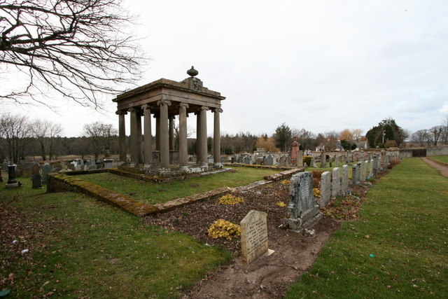
Gordon Tomb
The Gordon Tomb is a classical colonnaded mausoleum in the parish of Bellie in Moray, Scotland. It houses the sarcophagi of the second wife of the 4th...

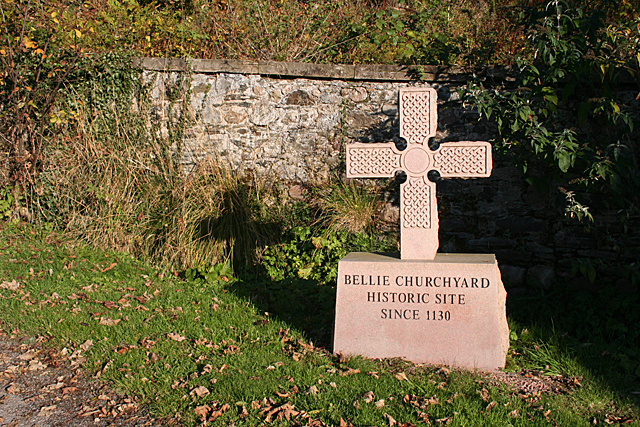
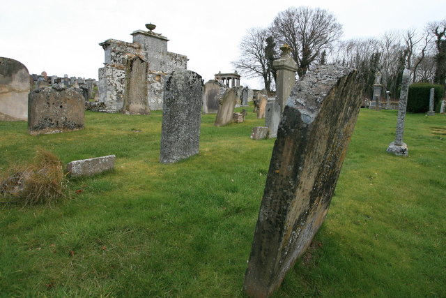
Old Church of St John
The Old Church of St John is a ruined church, incorporating a finely carved sacrament house and situated within a historic burial ground in Kirktown of...

St Ninian's Church, Tynet
St Ninian's Church, Tynet is a historic Roman Catholic clandestine church located at Tynet about 4 miles to the west of Buckie, Scotland in the Enzie region...
Lower Auchenreath
Lower Auchenreath is a tiny rural settlement situated in the North East Coast of Scotland. It is home to a mixed arable/animal farm and is only a mile...

Spey Bay railway station
Spey Bay railway station was a railway station in Spey Bay, Moray. The railway station was opened by the Great North of Scotland Railway (GNoSR) on its...

Gordon Castle
Gordon Castle is a country house located near Fochabers in the parish of Bellie in Moray, Scotland. It was the principal seat of the Dukes of Gordon and...

Mosstodloch
Mosstodloch (Scottish Gaelic: Mos Tudlach) is a small village in Moray, Scotland, lying near the A96 between Fochabers and Elgin on the west bank of the...
Nearby Amenities
Located within 500m of 57.642054,-3.0720626Have you been to Roman Camp Wood?
Leave your review of Roman Camp Wood below (or comments, questions and feedback).