Clubston Wood

Wood, Forest in Fife

Scotland

Clubston Wood

Farm road T-junction The junction of the Cairnie farm road and the A92 trunk road, just north of Murdochcairnie Hill
Farm road T-junction Credit: James Allan

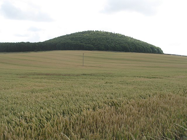
Clubston Wood is a captivating forest located in the picturesque region of Fife, Scotland. Covering an area of approximately 500 acres, this enchanting wood is a haven for nature enthusiasts and outdoor adventurers alike.

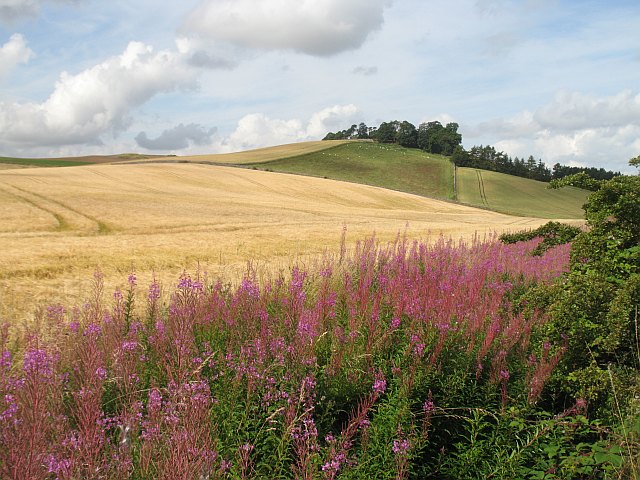
The wood boasts a diverse range of tree species, including oak, birch, and beech, which form a dense canopy overhead, filtering the sunlight and creating a cool and serene atmosphere. The forest floor is blanketed with a lush carpet of ferns, wildflowers, and moss, adding to the wood's natural charm.

Clubston Wood is home to an array of wildlife, making it a popular spot for birdwatching and animal spotting. Visitors may catch a glimpse of woodland birds such as woodpeckers, owls, and various songbirds, while lucky observers may even spot red squirrels darting through the treetops. The wood is also inhabited by deer, foxes, and rabbits, adding to the diversity of the wildlife population.

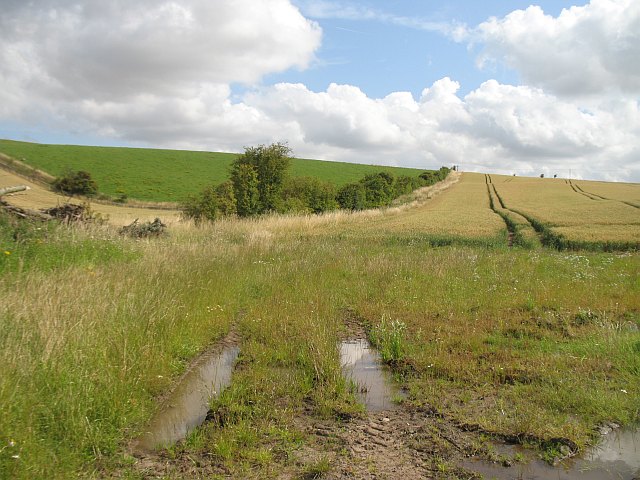
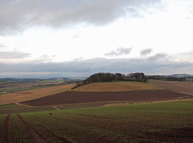
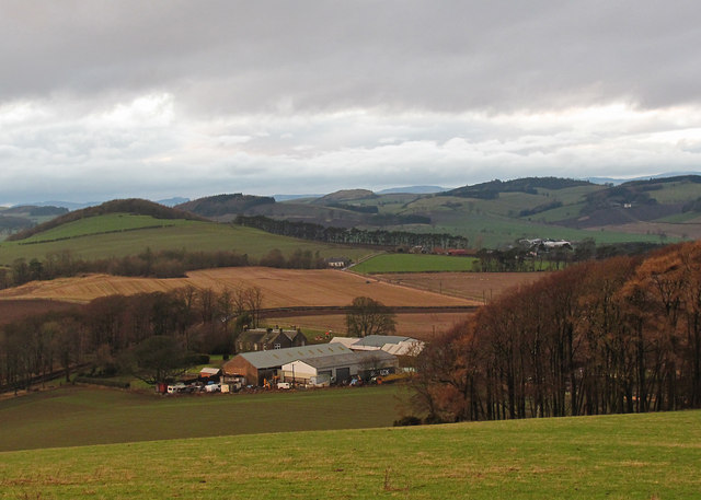
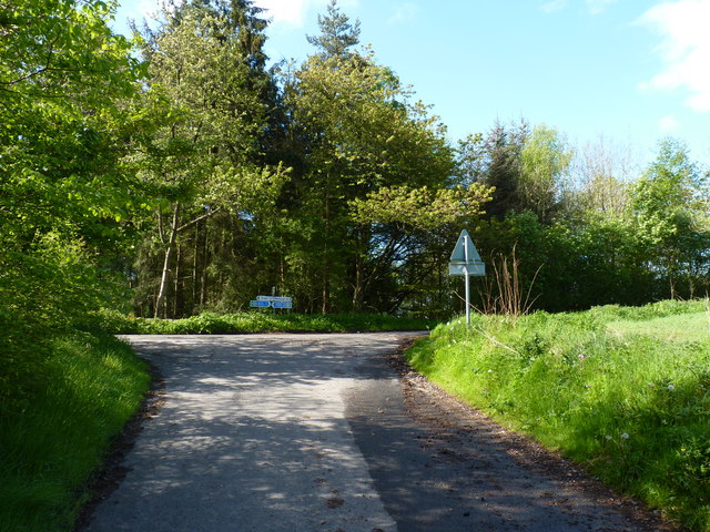
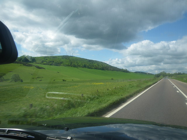
Tranquil trails wind their way through the wood, providing ample opportunities for leisurely walks or invigorating hikes. These paths offer stunning views of the surrounding countryside, including glimpses of the nearby Largo Law and the rolling hills of Fife. The wood is also intersected by a small stream, adding to its natural beauty and providing a peaceful soundtrack as it trickles through the forest.

Clubston Wood is easily accessible, with a car park and well-maintained paths ensuring a hassle-free visit. It is a perfect destination for nature lovers, photographers, and those seeking a peaceful retreat in the heart of Scotland's natural splendor.

If you have any feedback on the listing, please let us know in the comments section below.

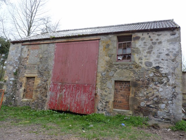
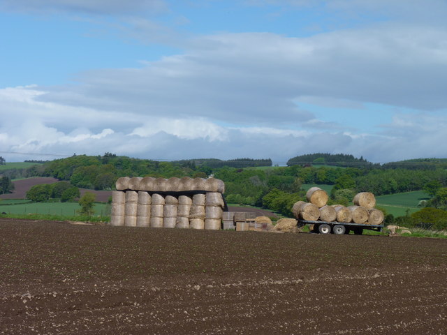
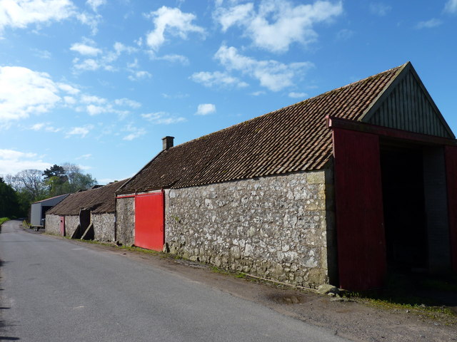
Clubston Wood Images

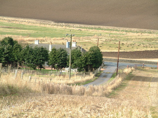
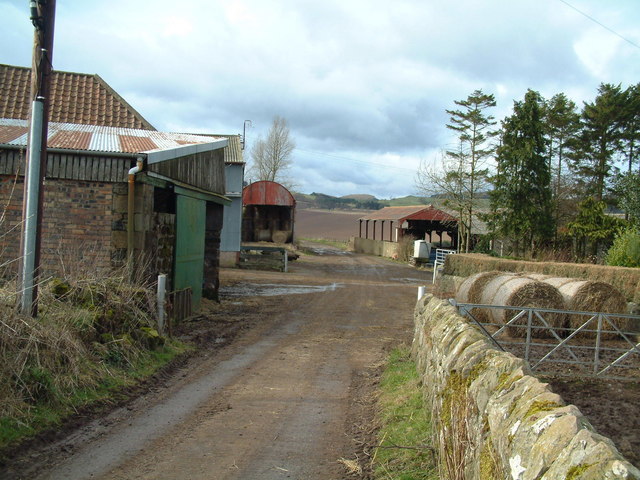
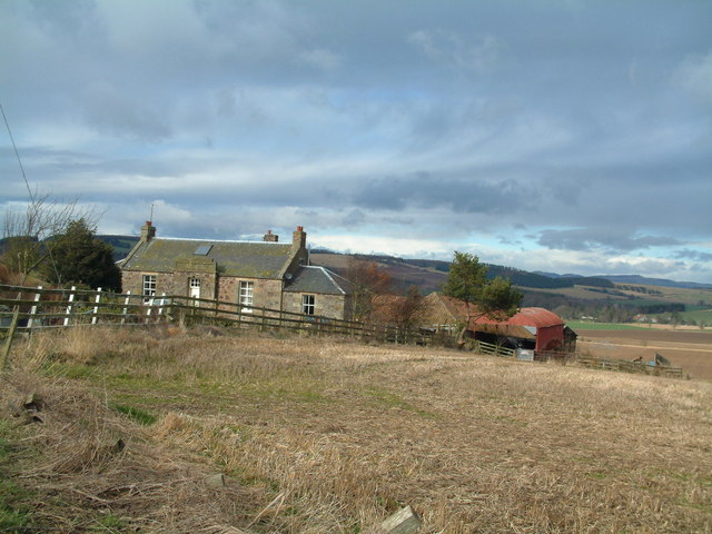
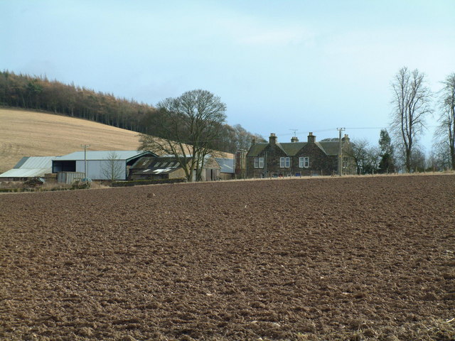
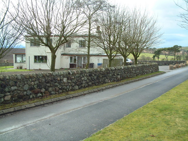
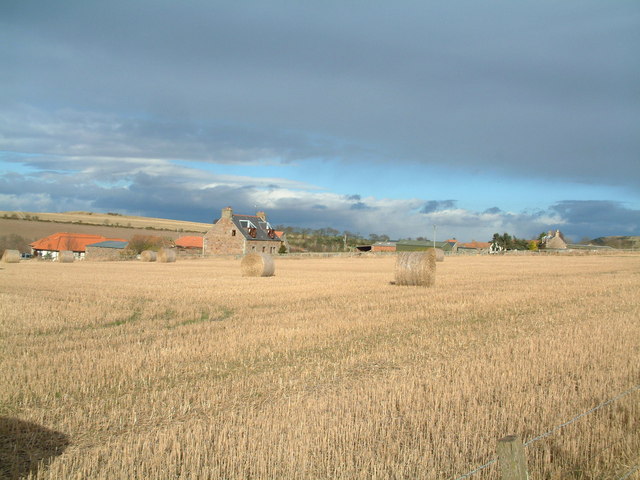
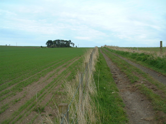
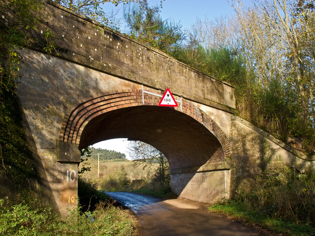
Images are sourced within 2km of 56.36373/-3.0353392 or Grid Reference NO3619. Thanks to Geograph Open Source API. All images are credited.

Farm road T-junction The junction of the Cairnie farm road and the A92 trunk road, just north of Murdochcairnie Hill
Farm road T-junction
The junction of the Cairnie farm road and the A92 trunk road, just north of Murdochcairnie Hill
Murdochcairnie Farm
Murdochcairnie Farm
Newcairnie farm
Newcairnie farm
Hillcairnie Farm
Hillcairnie Farm
Clubston Private residence in open farming country
Clubston
Private residence in open farming country
Torr Forret Farm
Torr Forret Farm
Cattle track This farm track, obviously frequently used by cattle, runs diagonally through the north west corner of this square.
Cattle track
This farm track, obviously frequently used by cattle, runs diagonally through the north west corner of this square.
Murdochcairnie Hill Large wheat field beneath Murdochcairnie Hill. The steeper land is wooded.
Murdochcairnie Hill
Large wheat field beneath Murdochcairnie Hill. The steeper land is wooded.
Colluthie Hill A Summer view of the hill (Winter - <a href="https://www.geograph.org.uk/photo/132272">NO3418 : Colluthie Hill</a> ).  Barley growing on the gentler lower slopes.
Colluthie Hill
A Summer view of the hill (Winter - NO3418 : Colluthie Hill ). Barley growing on the gentler lower slopes.
Wheat field, Newington
Northeast from Myrecairnie Hill A view to the northeast from Myrecairnie Hill, with a tree-covered Kedlock Hill visible in the distance.
Northeast from Myrecairnie Hill
A view to the northeast from Myrecairnie Hill, with a tree-covered Kedlock Hill visible in the distance.
Northwest from Myrecairnie Hill A view from Myrecairnie Hill over Hillcairnie Farm, towards Murdochcairnie Hill.
Northwest from Myrecairnie Hill
A view from Myrecairnie Hill over Hillcairnie Farm, towards Murdochcairnie Hill.
Barn at Rathillet House Now in the grounds of Rathillet house, this ruined barn was apparently the erstwhile home of Covenanter David Hackston, who was present at the murder of Archbishop Sharp at Magus Muir, although he played no part in the crime. He was executed at the Grassmarket in Edinburgh, suffering the most violent of deaths. After being hung and drawn, his body was quartered and parts were sent to various parts of Scotland for burial, including Cupar.
Barn at Rathillet House
Now in the grounds of Rathillet house, this ruined barn was apparently the erstwhile home of Covenanter David Hackston, who was present at the murder of Archbishop Sharp at Magus Muir, although he played no part in the crime. He was executed at the Grassmarket in Edinburgh, suffering the most violent of deaths. After being hung and drawn, his body was quartered and parts were sent to various parts of Scotland for burial, including Cupar.
Static and mobile bales In the corner of a field near Rathillet.
Static and mobile bales
In the corner of a field near Rathillet.
Red barn door At a farm near Rathillet.
Red barn door
At a farm near Rathillet.
Minor road junction Near Rathillet, where the cycle routes seem to be signed head-to-head.
Minor road junction
Near Rathillet, where the cycle routes seem to be signed head-to-head.
Farmland below Darklaw Hill Photographer is above the paved surface of the highway.
Farmland below Darklaw Hill
Photographer is above the paved surface of the highway.
Bridge on disused Newburgh and North Fife Railway A bridge on a minor road near Rathillet. This carried the Newburgh and North Fife Railway (opened 1909) which ran from Newburgh to St Fort. Passenger services ended in 1959 and freight in 1962. Sections of the route are now a heritage path <span class="nowrap"><a title="http://www.heritagepaths.co.uk/pathdetails.php?path=14" rel="nofollow ugc noopener" href="http://www.heritagepaths.co.uk/pathdetails.php?path=14">Link</a><img style="margin-left:2px;" alt="External link" title="External link - shift click to open in new window" src="https://s1.geograph.org.uk/img/external.png" width="10" height="10"/></span> .
Bridge on disused Newburgh and North Fife Railway
A bridge on a minor road near Rathillet. This carried the Newburgh and North Fife Railway (opened 1909) which ran from Newburgh to St Fort. Passenger services ended in 1959 and freight in 1962. Sections of the route are now a heritage path LinkExternal link .
Show me another place!

Clubston Wood is located at Grid Ref: NO3619 (Lat: 56.36373, Lng: -3.0353392)

Unitary Authority: Fife

Police Authority: Fife

What 3 Words

///dubbing.dated.throat. Near Cupar, Fife

Nearby Locations

Clubston Wood

Related Wikis

Lordscairnie Castle

Lordscairnie Castle is a ruin situated near Moonzie, 2.5 miles (4.0 km) north-east of Cupar, in Fife, Scotland. It is protected as a scheduled monument...

Moonzie

Moonzie is a small parish in Fife, Scotland, about 3 miles north-west of Cupar. It is bounded on the west by Creich, on the north by Kilmany, on the south...

Luthrie railway station

Luthrie railway station served the village of Luthrie, Fife, Scotland from 1909 to 1951 on the Newburgh and North Fife Railway. == History == The station...

Luthrie

Luthrie is a village in the parish of Creich in Fife, Scotland. A small stream shown on maps as Windygates Burn (but known locally as Luthrie Burn) flows...

Nearby Amenities

Located within 500m of 56.36373,-3.0353392
Power: pole
Lat/Long: 56.3634497/-3.0432296
Power: pole
Lat/Long: 56.3638472/-3.0422971
Power: pole
Lat/Long: 56.364478/-3.0423701
Power: pole
Lat/Long: 56.3650874/-3.042426
Power: pole
Lat/Long: 56.3657253/-3.0424819
The data included in this document is from www.openstreetmap.org. The data is made available under ODbL.

Have you been to Clubston Wood?

Leave your review of Clubston Wood below (or comments, questions and feedback).