Back Wood

Wood, Forest in Angus

Scotland

Back Wood

The Burn of Corogle
The Burn of Corogle Credit: William Starkey

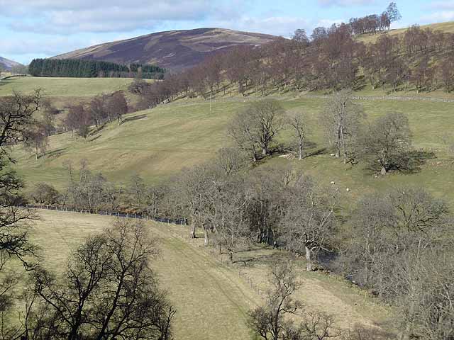
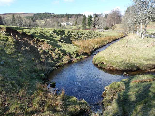
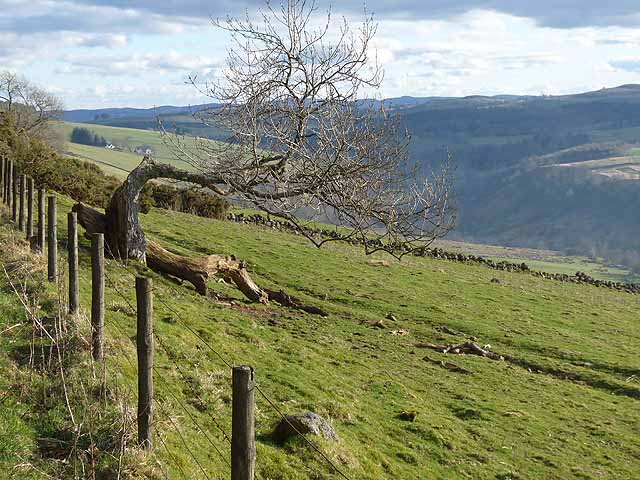
Back Wood, Angus, also known as Wood or Forest, is a picturesque woodland located in the county of Angus, Scotland. Spanning approximately 500 acres, it is renowned for its natural beauty and diverse ecosystem, attracting nature enthusiasts and hikers alike.

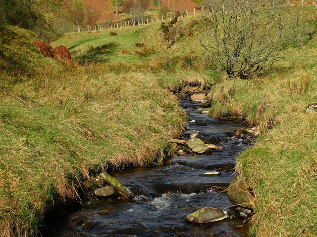
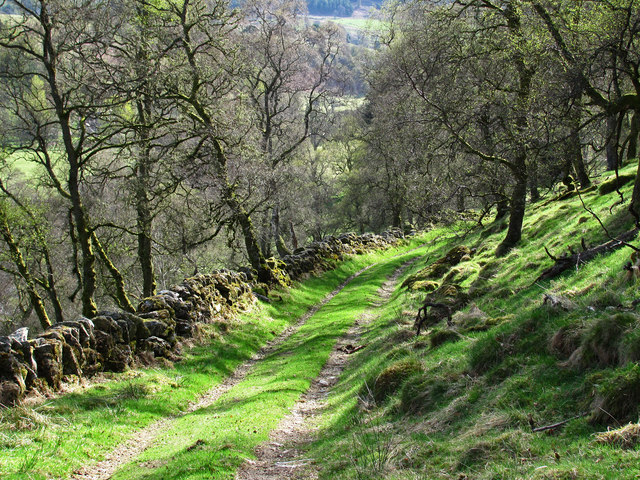
The woodland is characterized by its dense canopy of towering trees, predominantly consisting of native species such as oak, birch, and beech. The lush undergrowth is adorned with a variety of wildflowers, including bluebells and primroses, creating a vibrant and colorful landscape during the spring and summer months.

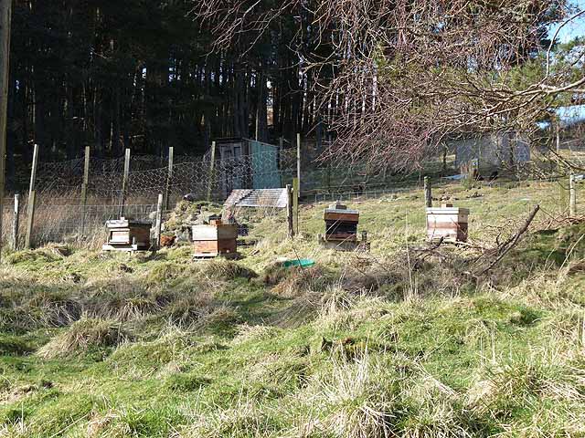
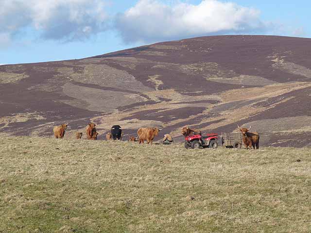
Back Wood is home to a rich array of wildlife, making it a haven for nature lovers. Deer, foxes, badgers, and squirrels can often be spotted roaming freely in their natural habitat. The woodland also provides a sanctuary for numerous bird species, including woodpeckers, owls, and various songbirds, making it an ideal spot for birdwatching enthusiasts.

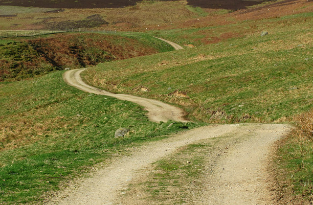
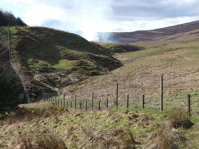
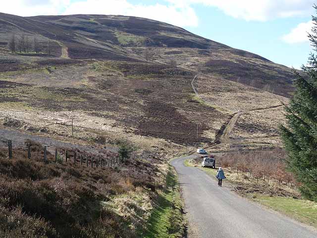
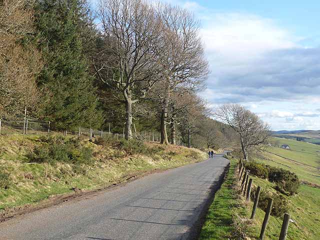
For those seeking outdoor activities, Back Wood offers a network of well-maintained trails and paths. Visitors can explore the woodland at their own pace, immersing themselves in the tranquility of their surroundings. The trails vary in difficulty, catering to both casual strollers and more experienced hikers.

Back Wood, Angus, is a testament to the beauty of Scotland's natural landscapes. With its enchanting woodland, diverse wildlife, and recreational opportunities, it provides a serene and immersive experience for individuals seeking an escape into nature.

If you have any feedback on the listing, please let us know in the comments section below.
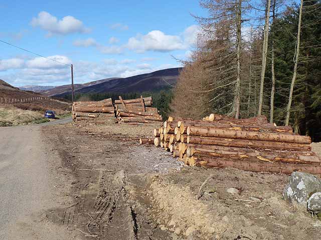
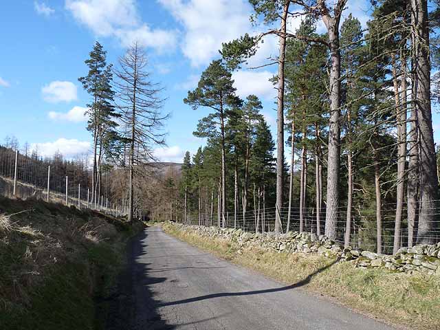
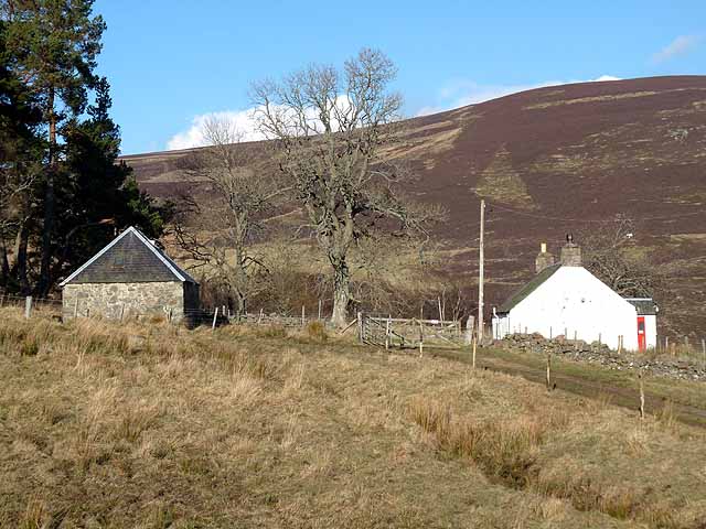
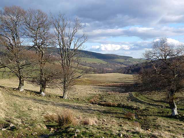
Back Wood Images

Images are sourced within 2km of 56.750429/-3.05459 or Grid Reference NO3562. Thanks to Geograph Open Source API. All images are credited.

The Burn of Corogle
The Burn of Corogle
Track near Turf Hill A winding track near Turf Hill, Angus.
Track near Turf Hill
A winding track near Turf Hill, Angus.
Track near Dodavoe
Track near Dodavoe
Belmonies A cottage on the slopes of Glen Uig, a side valley of Glen Prosen.
Belmonies
A cottage on the slopes of Glen Uig, a side valley of Glen Prosen.
Beehives in Glen Uig Adjoining the plantation of Shetland Strip.
Beehives in Glen Uig
Adjoining the plantation of Shetland Strip.
Glen Prosen above Dodavoe Looking upstream.
Glen Prosen above Dodavoe
Looking upstream.
Burn of Lednathie Glen Uig enters Glen Prosen in a small floodplain. The house of Easter Lednathie can be seen in the middle distance.
Burn of Lednathie
Glen Uig enters Glen Prosen in a small floodplain. The house of Easter Lednathie can be seen in the middle distance.
Barns in Glen Prosen On a small floodplain where Glen Uig joins Glen Prosen.
Barns in Glen Prosen
On a small floodplain where Glen Uig joins Glen Prosen.
Highland cattle and quad bike Above Buckhood. The slopes of the Hill of Couternach beyond.
Highland cattle and quad bike
Above Buckhood. The slopes of the Hill of Couternach beyond.
Valley of the Corwattle Burn Heather burning is taking place further up the valley.
Valley of the Corwattle Burn
Heather burning is taking place further up the valley.
Road below Turf Hill This undulating minor road runs up the west side of Glen Prosen. Long Goat <a href="https://www.geograph.org.uk/gridref/NO3361">NO3361</a> on the skyline.
Road below Turf Hill
This undulating minor road runs up the west side of Glen Prosen. Long Goat NO3361 on the skyline.
Track up the Corwhattle Burn Giving access to the grouse butts on Long Goat.
Track up the Corwhattle Burn
Giving access to the grouse butts on Long Goat.
Road and log piles below Turf Hill Undulating minor road up the west side of Glen Prosen.
Road and log piles below Turf Hill
Undulating minor road up the west side of Glen Prosen.
Scots pines beside the road The undulating minor road up the west side of Glen Prosen.
Scots pines beside the road
The undulating minor road up the west side of Glen Prosen.
Buckhood Cottage in Glencally, a tributary glen to Glen Prosen.
Buckhood
Cottage in Glencally, a tributary glen to Glen Prosen.
View down Glencally A tributary glen of Glen Prosen.
View down Glencally
A tributary glen of Glen Prosen.
Contorted tree above Glen Prosen From the road which runs along the eastern side of the Glen high above the valley floor. Glackburn Farm <a href="https://www.geograph.org.uk/gridref/NO3760">NO3760</a> in the middle distance.
Contorted tree above Glen Prosen
From the road which runs along the eastern side of the Glen high above the valley floor. Glackburn Farm NO3760 in the middle distance.
Road in Glen Prosen The road which runs along the eastern side of the Glen high above the valley floor. Glackburn Farm <a href="https://www.geograph.org.uk/gridref/NO3760">NO3760</a> in the middle distance.
Road in Glen Prosen
The road which runs along the eastern side of the Glen high above the valley floor. Glackburn Farm NO3760 in the middle distance.
Show me another place!

Back Wood is located at Grid Ref: NO3562 (Lat: 56.750429, Lng: -3.05459)

Unitary Authority: Angus

Police Authority: Tayside

What 3 Words

///masses.grove.homeward. Near Kirriemuir, Angus

Related Wikis

Nearby Amenities

Located within 500m of 56.750429,-3.05459
Entrance
Naptan AtcoCode: 6490IM1705
Naptan Bearing: SE
Naptan BusStopType: CUS
Naptan CommonName: Entrance
Naptan Indicator: opp
Naptan Landmark: Glencally
Naptan NaptanCode: 26427236
Naptan Street: Unclassified Road
Naptan Verified: no
Source: naptan_import
Lat/Long: 56.7547256/-3.0544166
Farm Entrance
Local Ref: AT
Naptan AtcoCode: 6490IM492
Naptan Bearing: SE
Naptan BusStopType: CUS
Naptan CommonName: Farm Entrance
Naptan Indicator: at
Naptan NaptanCode: 26424589
Naptan Street: Unclassified Road
Naptan Verified: no
Source: naptan_import
Lat/Long: 56.7547263/-3.0543348
Glencally
Name Gd: Gleann Challaidh
Place: isolated_dwelling
Lat/Long: 56.7542397/-3.0530946
Power: pole
Lat/Long: 56.7548394/-3.0561992
Power: pole
Lat/Long: 56.7548179/-3.0550893
Power: pole
Lat/Long: 56.7547681/-3.0545355
Hazel Den
Place: locality
Lat/Long: 56.7472353/-3.0518871
The data included in this document is from www.openstreetmap.org. The data is made available under ODbL.

Have you been to Back Wood?

Leave your review of Back Wood below (or comments, questions and feedback).