Kilfeddery Plantation
Wood, Forest in Angus
Scotland
Kilfeddery Plantation
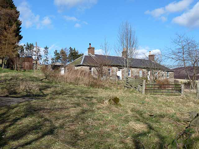
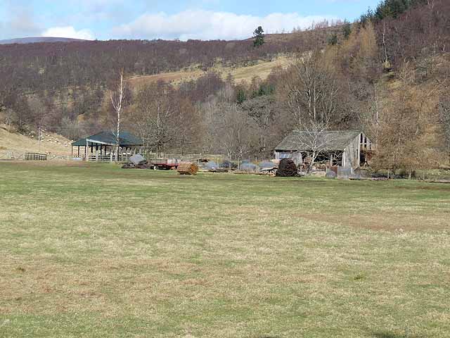
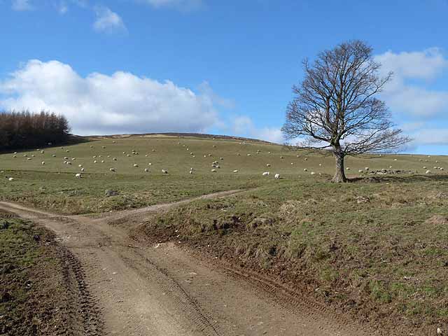
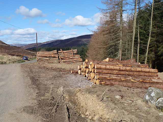
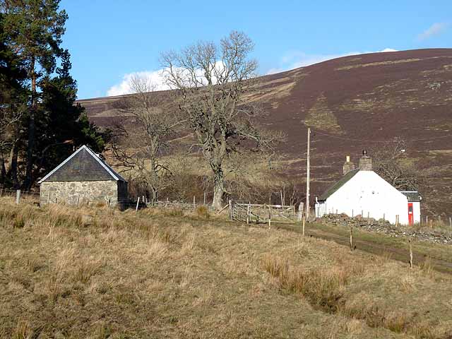
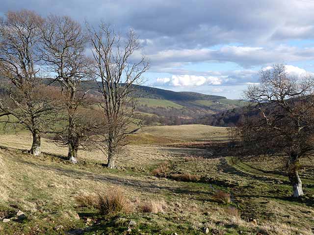
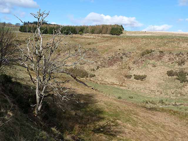
Kilfeddery Plantation is a picturesque woodland located in Angus, Scotland. Covering an area of approximately 200 acres, this plantation is a haven for nature enthusiasts and outdoor enthusiasts alike.
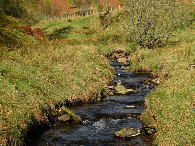
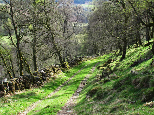
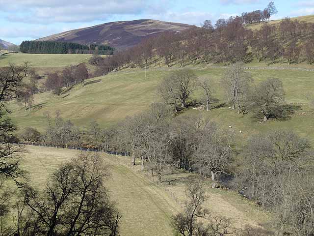
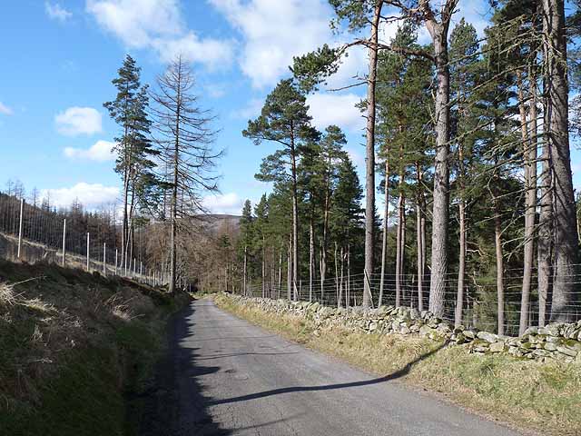
The plantation boasts a diverse range of tree species, including oak, beech, and Scots pine, which create a stunning and vibrant landscape all year round. The lush greenery and vibrant colors of the forest make it a popular destination for hikers, walkers, and photographers.
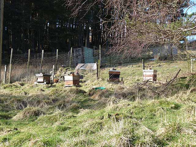
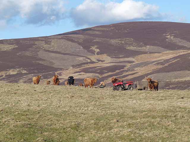
The woodland is also home to a variety of wildlife, including red deer, roe deer, and a wide range of bird species. Birdwatchers will be delighted by the opportunity to spot rare and native birds, such as the golden eagle and the osprey.
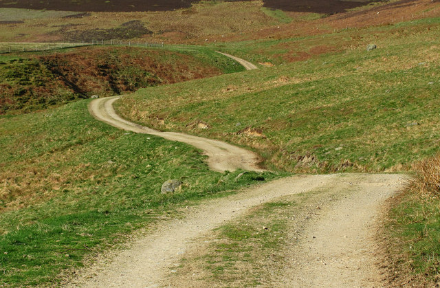
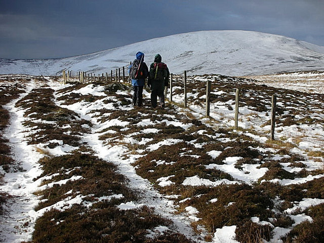
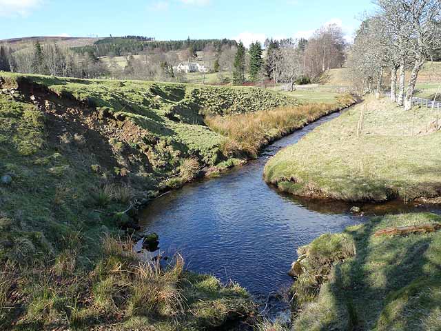
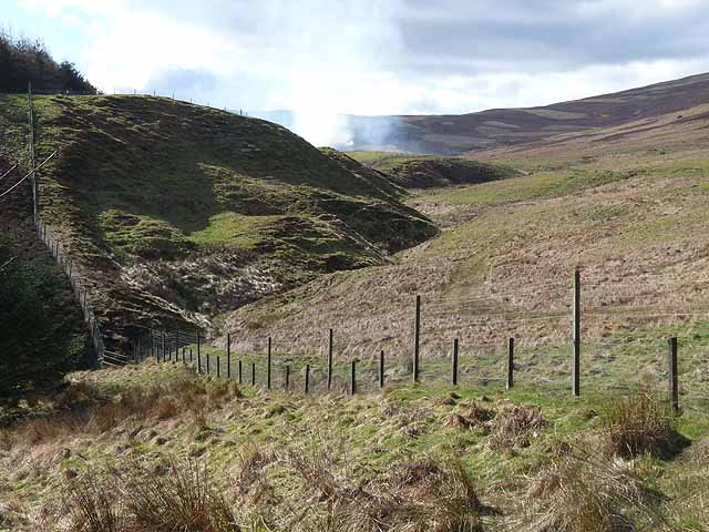
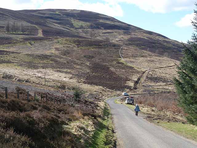
Several well-maintained trails wind through the plantation, offering visitors the chance to explore the woodland at their own pace. These trails vary in difficulty, allowing both seasoned hikers and beginners to enjoy the beauty of the plantation. Along the way, visitors can enjoy breathtaking views of the surrounding countryside and may even stumble upon hidden waterfalls or charming streams.
Kilfeddery Plantation is a truly enchanting destination, offering visitors a chance to immerse themselves in nature and escape the hustle and bustle of everyday life. Whether it be a leisurely stroll or an adrenaline-filled hike, this woodland is sure to captivate and inspire all who venture into its depths.
If you have any feedback on the listing, please let us know in the comments section below.
Kilfeddery Plantation Images
Images are sourced within 2km of 56.745129/-3.0640719 or Grid Reference NO3562. Thanks to Geograph Open Source API. All images are credited.
Kilfeddery Plantation is located at Grid Ref: NO3562 (Lat: 56.745129, Lng: -3.0640719)
Unitary Authority: Angus
Police Authority: Tayside
What 3 Words
///flute.walkway.grove. Near Kirriemuir, Angus
Nearby Locations
Related Wikis

Mile Hill, Dykehead
There is another Mile Hill nearby which is a MarilynMile Hill is located in Angus, Scotland, 1000 metres west of Dykehead. It is a circular hill rising...

Cat Law
Cat Law (671 m) is a hill in the southern Mounth of Scotland, north of Kirriemuir in Angus. A rounded peak, it lies above Strathmore in the south and offers...

Cortachy
Cortachy is a village in Angus, Scotland. It lies in at the mouth of Glen Clova, on the River South Esk, four miles north of Kirriemuir. Nearby lies Cortachy...

Ascreavie
Ascreavie is a country house in Angus, Scotland. It is located 2 kilometres (1.2 mi) north of Kirkton of Kingoldrum, and 6 kilometres (3.7 mi) north-west...

Cortachy Castle
Cortachy Castle is a castellated mansion House at Cortachy, Angus, Scotland, some four miles north of Kirriemuir. The present building dates from the 15th...

Balintore Castle
Balintore Castle is a Victorian Category A listed building in Scotland. The castle occupies an elevated site in moorland above Balintore village, a few...
Balintore, Angus
Balintore (Scottish Gaelic: Baile an Todhair) is a village in Angus, Scotland. It lies in Glen Isla, four miles north of the Loch of Lintrathen and seven...

Kirkton of Kingoldrum
Kirkton of Kingoldrum is a village in Angus, Scotland. It lies in approximately four miles (6 km) west of Kirriemuir on the B951 road. == References ==
Nearby Amenities
Located within 500m of 56.745129,-3.0640719Have you been to Kilfeddery Plantation?
Leave your review of Kilfeddery Plantation below (or comments, questions and feedback).