Avenue Wood
Wood, Forest in Angus
Scotland
Avenue Wood
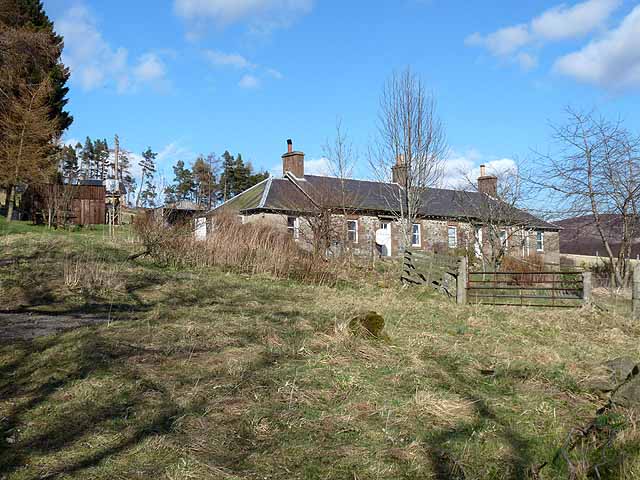
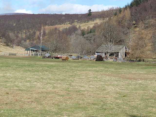
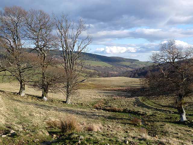
Avenue Wood, also known as Angus Wood or Forest, is a scenic woodland located in the Angus region of Scotland. Covering an area of approximately 500 acres, this picturesque forest is a popular destination for nature enthusiasts and outdoor enthusiasts alike.
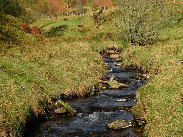
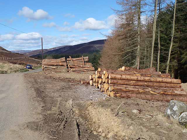
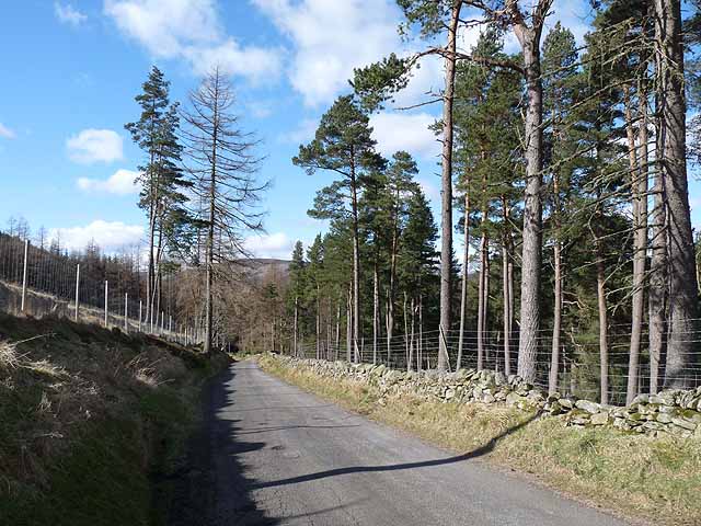
Avenue Wood is characterized by its diverse range of tree species, including oak, birch, beech, and coniferous trees. The forest floor is carpeted with a rich variety of flora, such as bluebells, wild garlic, and ferns, creating a vibrant and enchanting atmosphere.
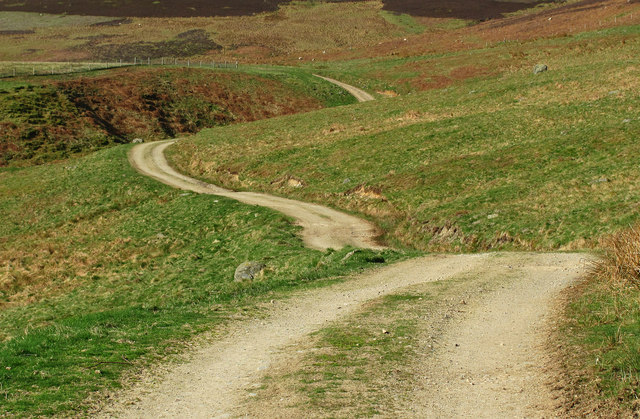
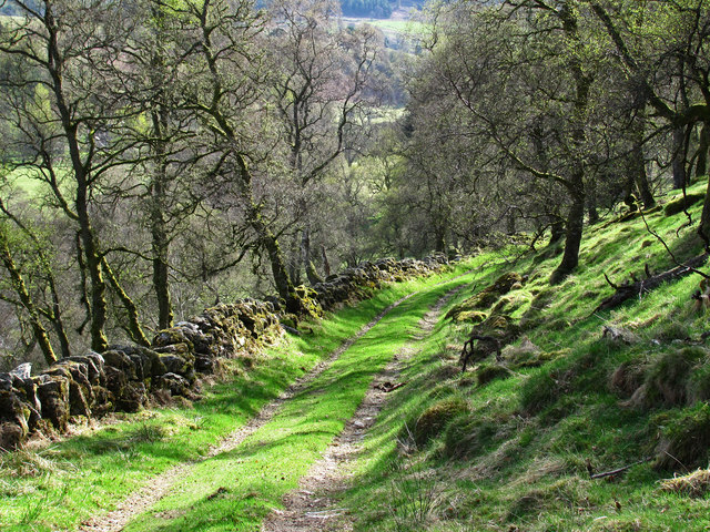
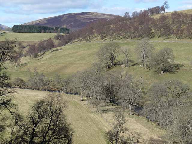
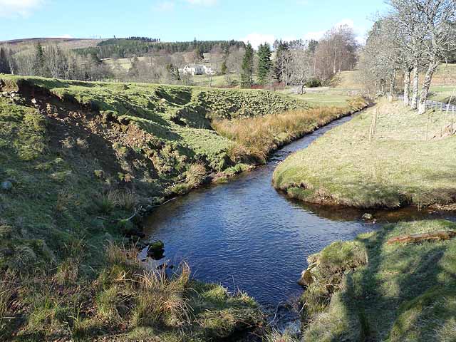
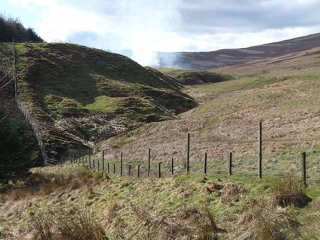
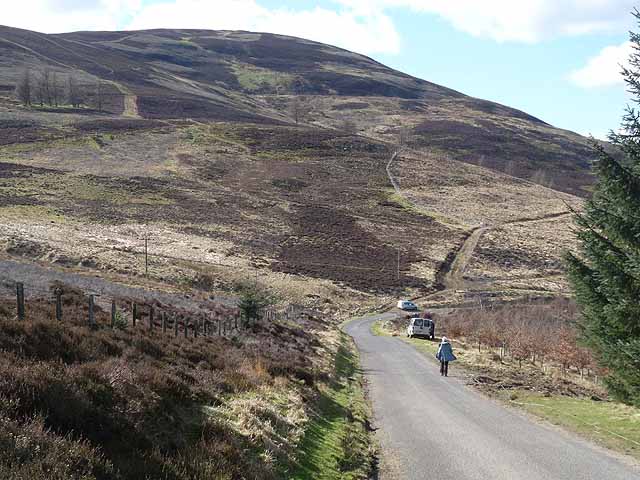
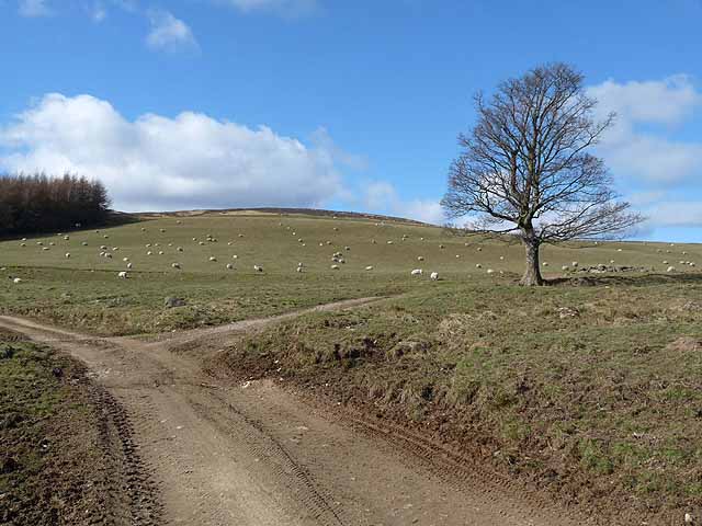
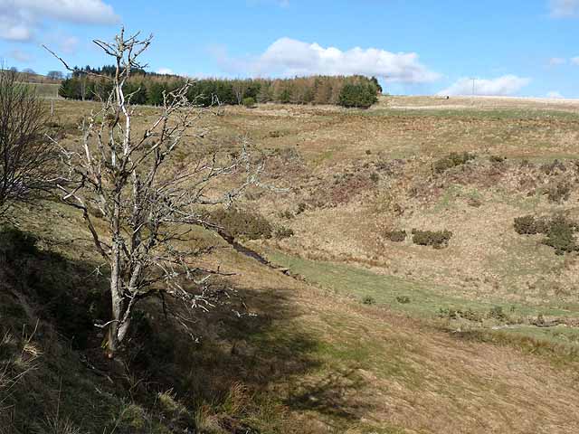
The woodland offers a network of well-maintained walking trails, allowing visitors to explore its natural beauty at their own pace. These trails wind through the forest, leading to hidden glens, tranquil ponds, and breathtaking viewpoints, providing ample opportunities for wildlife spotting and birdwatching.
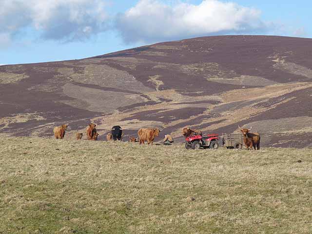
Avenue Wood is home to a multitude of wildlife, including red squirrels, roe deer, and a wide range of bird species. Birdwatchers can expect to see woodpeckers, owls, and a variety of songbirds, making it a haven for bird lovers.
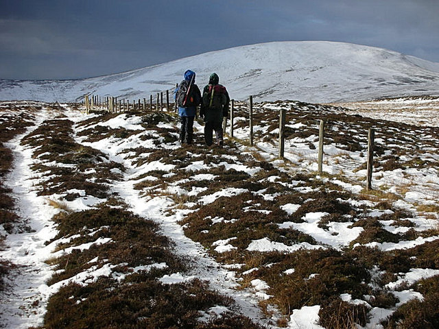
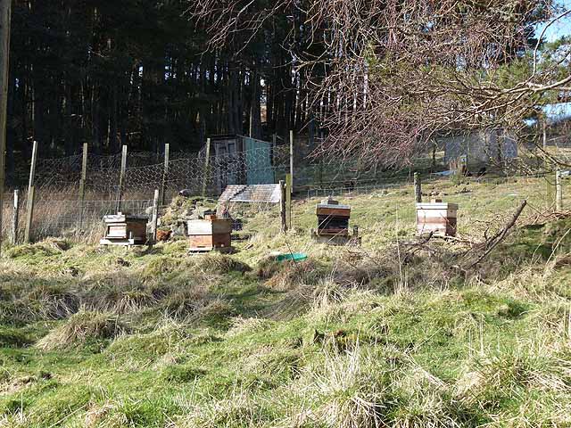
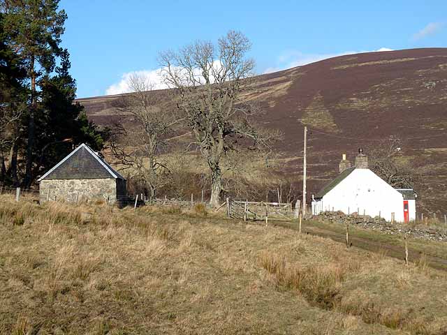
Furthermore, the forest provides recreational activities for visitors, such as picnicking, camping, and orienteering. Its peaceful ambiance and serene surroundings make it an ideal spot for relaxation and unwinding from the hustle and bustle of daily life.
Overall, Avenue Wood in Angus is a captivating destination for nature enthusiasts, offering a unique opportunity to immerse oneself in the beauty of a Scottish woodland. Whether it is exploring the walking trails, observing wildlife, or simply enjoying a picnic amidst nature, this forest is sure to leave a lasting impression on all who visit.
If you have any feedback on the listing, please let us know in the comments section below.
Avenue Wood Images
Images are sourced within 2km of 56.746764/-3.064069 or Grid Reference NO3562. Thanks to Geograph Open Source API. All images are credited.
Avenue Wood is located at Grid Ref: NO3562 (Lat: 56.746764, Lng: -3.064069)
Unitary Authority: Angus
Police Authority: Tayside
What 3 Words
///skillet.fruity.candle. Near Kirriemuir, Angus
Nearby Locations
Related Wikis

Mile Hill, Dykehead
There is another Mile Hill nearby which is a MarilynMile Hill is located in Angus, Scotland, 1000 metres west of Dykehead. It is a circular hill rising...

Cat Law
Cat Law (671 m) is a hill in the southern Mounth of Scotland, north of Kirriemuir in Angus. A rounded peak, it lies above Strathmore in the south and offers...

Cortachy
Cortachy is a village in Angus, Scotland. It lies in at the mouth of Glen Clova, on the River South Esk, four miles north of Kirriemuir. Nearby lies Cortachy...

Ascreavie
Ascreavie is a country house in Angus, Scotland. It is located 2 kilometres (1.2 mi) north of Kirkton of Kingoldrum, and 6 kilometres (3.7 mi) north-west...

Cortachy Castle
Cortachy Castle is a castellated mansion House at Cortachy, Angus, Scotland, some four miles north of Kirriemuir. The present building dates from the 15th...

Balintore Castle
Balintore Castle is a Victorian Category A listed building in Scotland. The castle occupies an elevated site in moorland above Balintore village, a few...
Balintore, Angus
Balintore (Scottish Gaelic: Baile an Todhair) is a village in Angus, Scotland. It lies in Glen Isla, four miles north of the Loch of Lintrathen and seven...

Kinnordy House
Kinnordy House (alternative spellings: Kynnordy, Kinardy, Kinnordie and Kinorde) is an estate house near Kirriemuir in Angus, Scotland. The first house...
Nearby Amenities
Located within 500m of 56.746764,-3.064069Have you been to Avenue Wood?
Leave your review of Avenue Wood below (or comments, questions and feedback).