Hazel Den
Valley in Angus
Scotland
Hazel Den
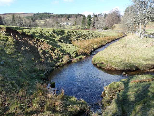
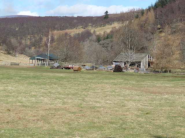
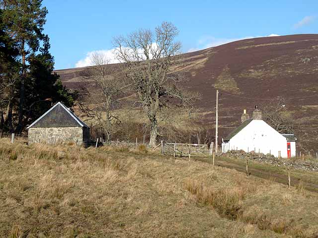
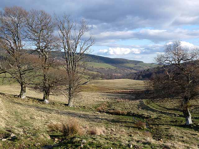
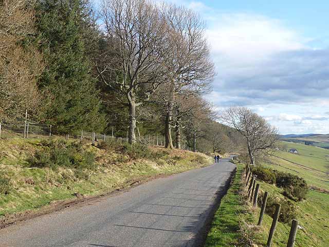
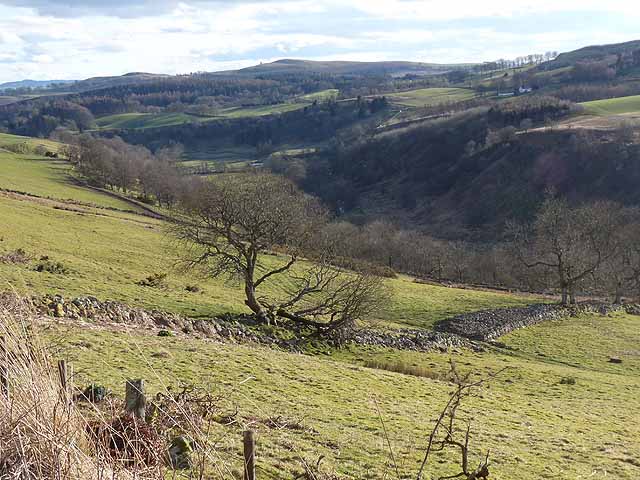
Hazel Den, Angus (Valley) is a picturesque village located in the county of Angus, Scotland. Nestled in a valley, it is surrounded by rolling hills and lush greenery, offering a tranquil and scenic setting for residents and visitors alike.
The village is home to a close-knit community and has a population of approximately 500 people. It boasts a range of amenities, including a primary school, a post office, a small grocery store, and a pub, which serves as a gathering place for locals. The village also has a charming village hall where various community events and activities take place throughout the year.
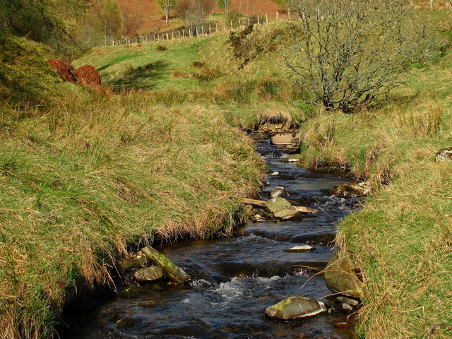
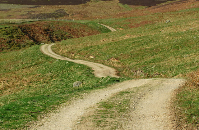
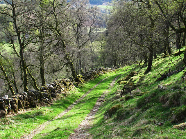
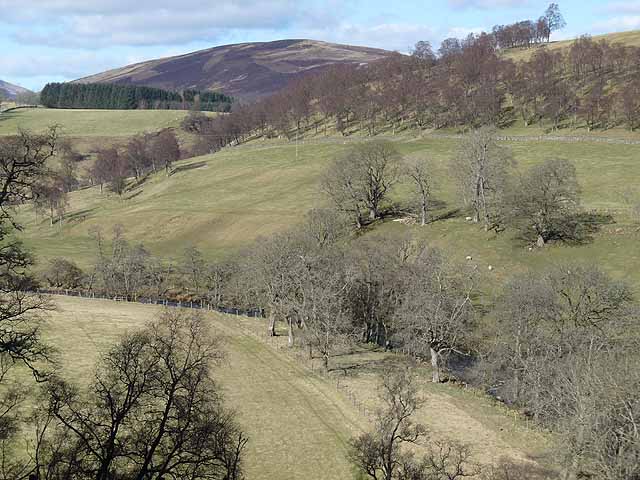
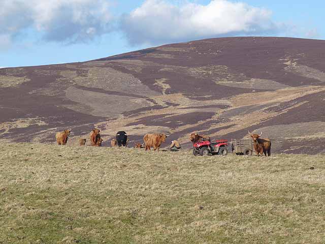
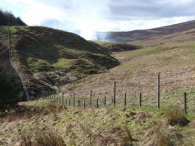
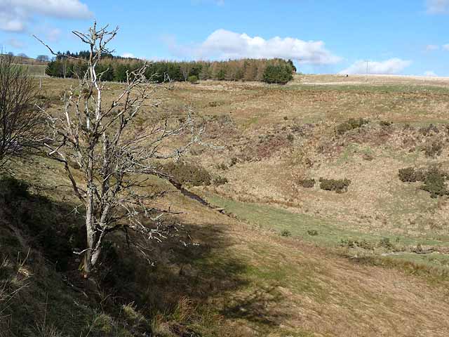
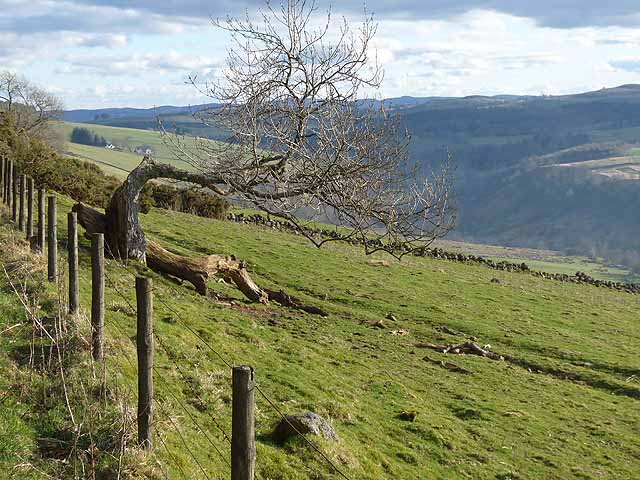
Hazel Den is known for its stunning natural beauty and is a popular destination for outdoor enthusiasts. The surrounding countryside offers numerous opportunities for hiking, cycling, and wildlife spotting. The village is also situated near the River Dee, providing opportunities for fishing and water sports.
In terms of history, Hazel Den has a rich heritage dating back centuries. The village is home to several well-preserved historic buildings, including a beautiful medieval church and a local manor house. Visitors can explore these architectural gems and learn about the village's past.
Overall, Hazel Den, Angus (Valley) is a charming and idyllic village, offering a peaceful retreat from the bustling city life. With its stunning landscapes, friendly community, and rich history, it is a place that captivates the hearts of all who visit.
If you have any feedback on the listing, please let us know in the comments section below.
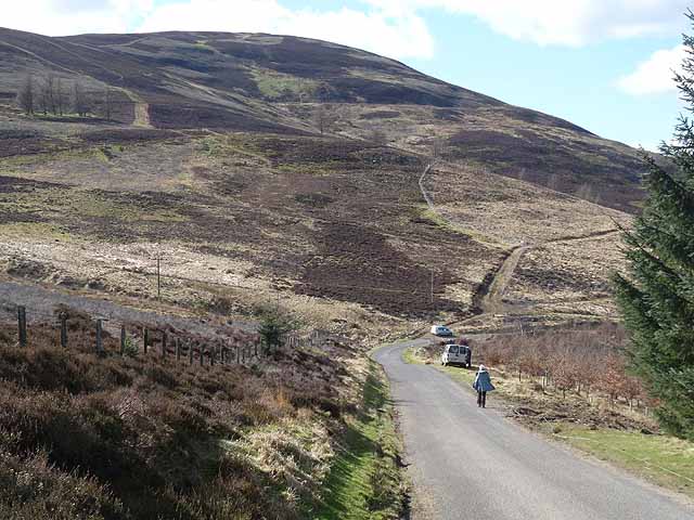
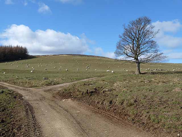
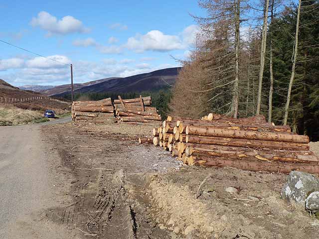
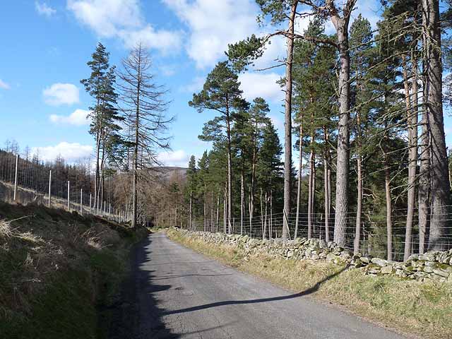
Hazel Den Images
Images are sourced within 2km of 56.747381/-3.0527386 or Grid Reference NO3562. Thanks to Geograph Open Source API. All images are credited.
Hazel Den is located at Grid Ref: NO3562 (Lat: 56.747381, Lng: -3.0527386)
Unitary Authority: Angus
Police Authority: Tayside
What 3 Words
///mammoth.backward.partly. Near Kirriemuir, Angus
Nearby Locations
Related Wikis

Mile Hill, Dykehead
There is another Mile Hill nearby which is a MarilynMile Hill is located in Angus, Scotland, 1000 metres west of Dykehead. It is a circular hill rising...

Cat Law
Cat Law (671 m) is a hill in the southern Mounth of Scotland, north of Kirriemuir in Angus. A rounded peak, it lies above Strathmore in the south and offers...

Cortachy
Cortachy is a village in Angus, Scotland. It lies in at the mouth of Glen Clova, on the River South Esk, four miles north of Kirriemuir. Nearby lies Cortachy...

Cortachy Castle
Cortachy Castle is a castellated mansion House at Cortachy, Angus, Scotland, some four miles north of Kirriemuir. The present building dates from the 15th...

Ascreavie
Ascreavie is a country house in Angus, Scotland. It is located 2 kilometres (1.2 mi) north of Kirkton of Kingoldrum, and 6 kilometres (3.7 mi) north-west...

Inverquharity Castle
Inverquharity Castle is a 15th-century tower house in Angus, Scotland. It lies around 4.5 kilometres (2.8 mi) north-east of Kirriemuir near the River South...

Inverquharity
Inverquharity is a Roman fortlet in Scotland, close to the Highland Line about 5 miles (8 km) north of Kirriemuir, Angus. Although very little archaeological...

Kinnordy House
Kinnordy House (alternative spellings: Kynnordy, Kinardy, Kinnordie and Kinorde) is an estate house near Kirriemuir in Angus, Scotland. The first house...
Nearby Amenities
Located within 500m of 56.747381,-3.0527386Have you been to Hazel Den?
Leave your review of Hazel Den below (or comments, questions and feedback).