Hogland Strips

Wood, Forest in Fife

Scotland

Hogland Strips

Clatto Hill Open land in the 1940s, now home to mature forestry.
Clatto Hill Credit: Richard Webb

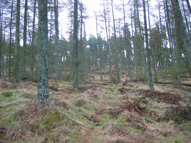
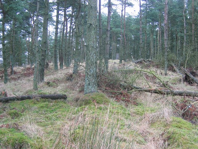
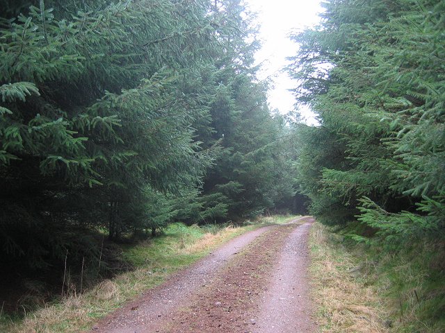
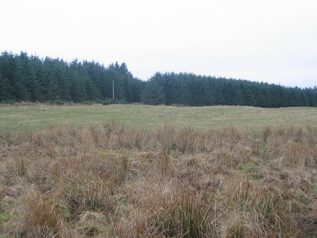
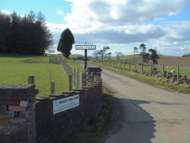
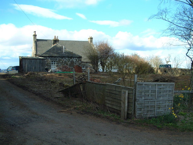
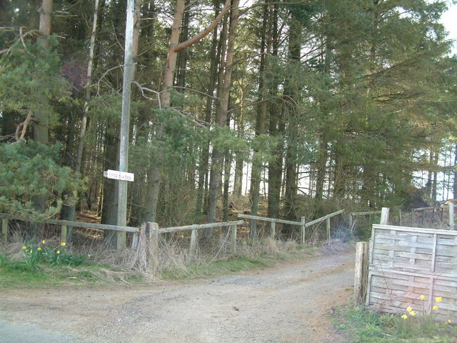
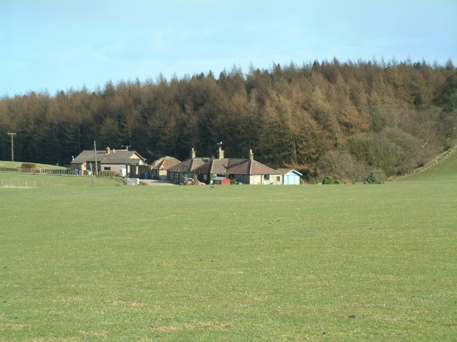
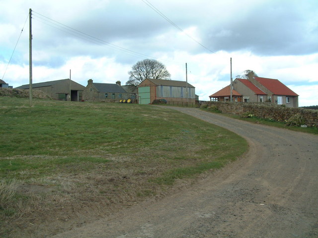
Hogland Strips, located in Fife, Scotland, is a picturesque woodland area known for its natural beauty and diverse ecosystem. Covering an area of approximately 100 acres, Hogland Strips is home to a variety of tree species, including oak, birch, and Scots pine, creating a vibrant and lush forest environment.

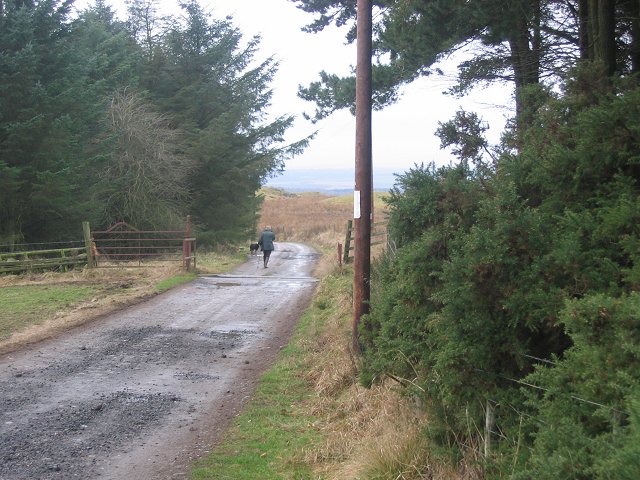
The woodland is crisscrossed by numerous trails and paths, making it a popular destination for outdoor enthusiasts and nature lovers. These well-maintained paths offer visitors the opportunity to explore the area on foot, providing stunning views of the surrounding landscape and allowing them to immerse themselves in the tranquility of the forest.

Hogland Strips is also known for its rich biodiversity. The forest provides a habitat for a range of wildlife species, including red squirrels, badgers, and a variety of bird species. Nature enthusiasts can often spot these creatures while quietly observing or seeking out the many birdwatching opportunities within the woodland.

Moreover, Hogland Strips plays an important role in conservation efforts. The forest is managed sustainably, with careful consideration given to preserving the natural environment and protecting the diverse range of flora and fauna that call it home.

Overall, Hogland Strips in Fife offers a serene and captivating experience for visitors, with its scenic beauty, diverse ecosystem, and commitment to conservation making it an ideal destination for those seeking a peaceful retreat in nature.

If you have any feedback on the listing, please let us know in the comments section below.

Hogland Strips Images

Images are sourced within 2km of 56.247848/-3.0444413 or Grid Reference NO3506. Thanks to Geograph Open Source API. All images are credited.

Clatto Hill Open land in the 1940s, now home to mature forestry.
Clatto Hill
Open land in the 1940s, now home to mature forestry.
Clatto Hill Gap between Devon Wood and Clatto Hill plantations looking west. The dog walker was very interested in my registration plate. With good reason, loads of fly tipping going on here.
Clatto Hill
Gap between Devon Wood and Clatto Hill plantations looking west. The dog walker was very interested in my registration plate. With good reason, loads of fly tipping going on here.
Clatto Hill The summit. The trig point was marked with claw marks. Given the talk of leopards in the woods of Fife, I was relieved to see that they were the work of badgers.
Clatto Hill
The summit. The trig point was marked with claw marks. Given the talk of leopards in the woods of Fife, I was relieved to see that they were the work of badgers.
Farmland above Devon A lot of land here is wooded, but this is still farmland. Another wind prospecting mast suggests changes possible. The cairn is made of rocks cleared from the land. Looking north.
Farmland above Devon
A lot of land here is wooded, but this is still farmland. Another wind prospecting mast suggests changes possible. The cairn is made of rocks cleared from the land. Looking north.
Devon Wood Thick spruce c/o The Forestry Commission.
Devon Wood
Thick spruce c/o The Forestry Commission.
Devon Wood. Much of the square is forestry. Here for a change from a road in deep Sitka is a view of the forest edge. Looking SE. The foreground is wet farmland.
Devon Wood.
Much of the square is forestry. Here for a change from a road in deep Sitka is a view of the forest edge. Looking SE. The foreground is wet farmland.
Cults Brickworks
Cults Brickworks
Clatto Reservoir Nature reserve, seen from the east, close to the dam.
Clatto Reservoir
Nature reserve, seen from the east, close to the dam.
Telecom masts Erected on top of a 242 m hill near Downfield Farm.
Telecom masts
Erected on top of a 242 m hill near Downfield Farm.
Downfield Farm Road Private road to the farm
Downfield Farm Road
Private road to the farm
Upper Bunzion A smallholding near the top of Cults Hill
Upper Bunzion
A smallholding near the top of Cults Hill
Conifer plantation Cpommercial forestry plantation beside Upper Bunzion
Conifer plantation
Cpommercial forestry plantation beside Upper Bunzion
Clatto Cottages A row of farm workers cottages jut west of Clatto Farm
Clatto Cottages
A row of farm workers cottages jut west of Clatto Farm
Colliston Hill Kilmux Wood crowns Colliston Hill
Colliston Hill
Kilmux Wood crowns Colliston Hill
Clatto Barns A working farm, with an active motorcycle off-road track within its grounds.
Clatto Barns
A working farm, with an active motorcycle off-road track within its grounds.
Devon The fields in the foreground are in the next square north from Devon Farm. A footpath crosses the square from the farm and along the north side of the woodland towards Middlefield. The prominent hills at far left are East and West Lomond, the highest points of the volcanic Lomond Hills above Falkland.
Devon
The fields in the foreground are in the next square north from Devon Farm. A footpath crosses the square from the farm and along the north side of the woodland towards Middlefield. The prominent hills at far left are East and West Lomond, the highest points of the volcanic Lomond Hills above Falkland.
Devon This is a wider view than in <a href="https://www.geograph.org.uk/photo/364667">NO3306 : Devon</a> of the fields north of Devon Farm, where the ground slopes steeply down towards the woodland at the other edge of the grid square.
Devon
This is a wider view than in NO3306 : Devon of the fields north of Devon Farm, where the ground slopes steeply down towards the woodland at the other edge of the grid square.
Devon Looking over the wall on the left of <a href="https://www.geograph.org.uk/photo/364675">NO3306 : Devon</a> over a ploughed field north of Devon Farm. The long low hill on the skyline towards the right is Benarty, south of Loch Leven.
Devon
Looking over the wall on the left of NO3306 : Devon over a ploughed field north of Devon Farm. The long low hill on the skyline towards the right is Benarty, south of Loch Leven.
Show me another place!

Hogland Strips is located at Grid Ref: NO3506 (Lat: 56.247848, Lng: -3.0444413)

Unitary Authority: Fife

Police Authority: Fife

What 3 Words

///afternoon.seashell.obligated. Near Kennoway, Fife

Related Wikis

Priestfield House

Priestfield House was a Victorian Country House near Cults, Fife, Scotland. == History == The estate, originally an outlying property of Crawford Priory...

Bonnybank

Bonnybank is a small village in the Levenmouth area of Fife, approximately 2 miles north of Leven and situated on the main road (the A916) between Kennoway...

Pitlessie

Pitlessie is a small village in Cults, Fife, Scotland. It is roughly 4+1⁄2 miles (7 km) southwest of the nearest large town, Cupar, and 23 miles (37 kilometres...

Balmalcolm

Balmalcolm is a small village in the Kettle parish of Fife, Scotland. Encompassed by the low-lying Howe of Fife, the village is roughly 5+1⁄2 miles (9...
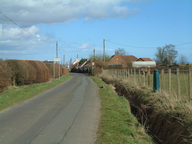
Baintown

Baintown is a hamlet located in Fife, a council area of Scotland, UK.

St Andrews Burghs (UK Parliament constituency)

St Andrews Burghs was a district of burghs constituency, representing various burghs of Fife, Scotland, in the House of Commons of the Parliament of the...

Kingskettle

Kingskettle or often simply Kettle is a village and parish in Fife, Scotland. Encompassed by the Howe of Fife, the village is approximately 5.5 miles...

Kingskettle railway station

Kingskettle railway station served the village of Kingskettle, Fife, Scotland, from 1847 to 1967 on the Edinburgh and Northern Railway. == History == The...

Nearby Amenities

Located within 500m of 56.247848,-3.0444413
Clatto Hill
Ele: 248
Natural: peak
Source: npe
Lat/Long: 56.2465454/-3.0410687
The data included in this document is from www.openstreetmap.org. The data is made available under ODbL.

Have you been to Hogland Strips?

Leave your review of Hogland Strips below (or comments, questions and feedback).