Gallowside Wood

Wood, Forest in Dumfriesshire

Scotland

Gallowside Wood

Spire, bridge and tree in Langholm
Spire, bridge and tree in Langholm Credit: Peter Moore

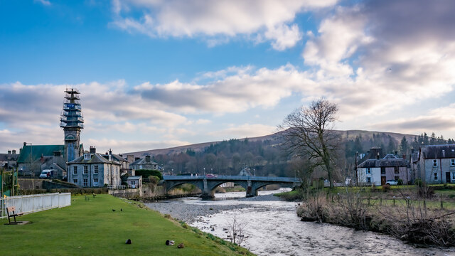
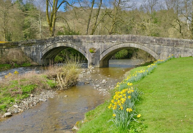
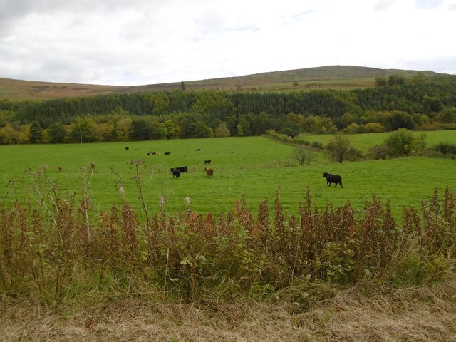
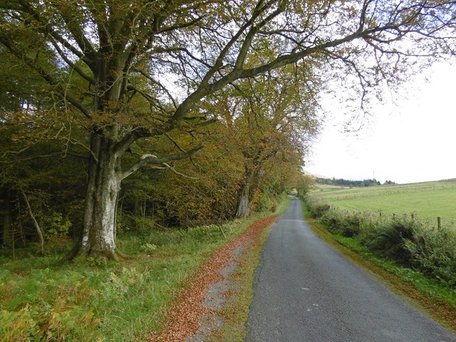
Gallowside Wood is located in Dumfriesshire, Scotland, and is a stunning woodland area that spans over a vast expanse of approximately 200 hectares. Nestled in the heart of the picturesque countryside, this forest is a popular destination for nature enthusiasts and outdoor adventurers alike.

The woodland is predominantly made up of mixed deciduous trees, including oak, birch, and beech, which create a diverse and vibrant ecosystem. The trees stand tall and majestic, forming a dense canopy that provides shade and shelter for a wide variety of flora and fauna. Walking through Gallowside Wood, visitors can witness the ever-changing colors of the seasons, with vibrant greens in the spring and summer giving way to rich golden hues in the autumn.

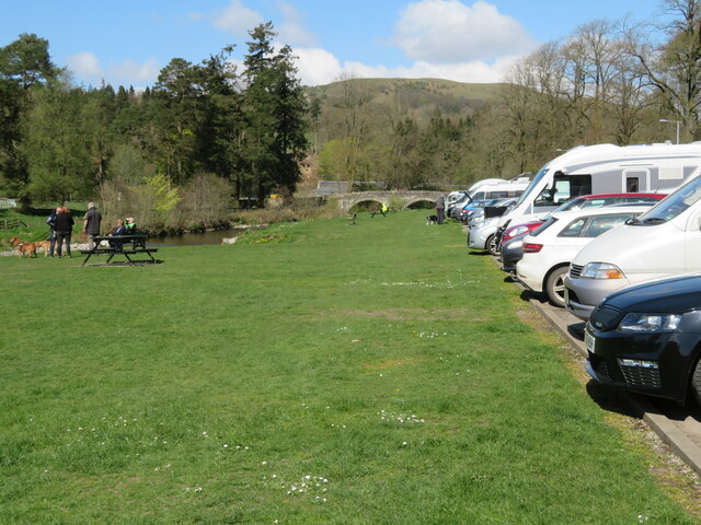
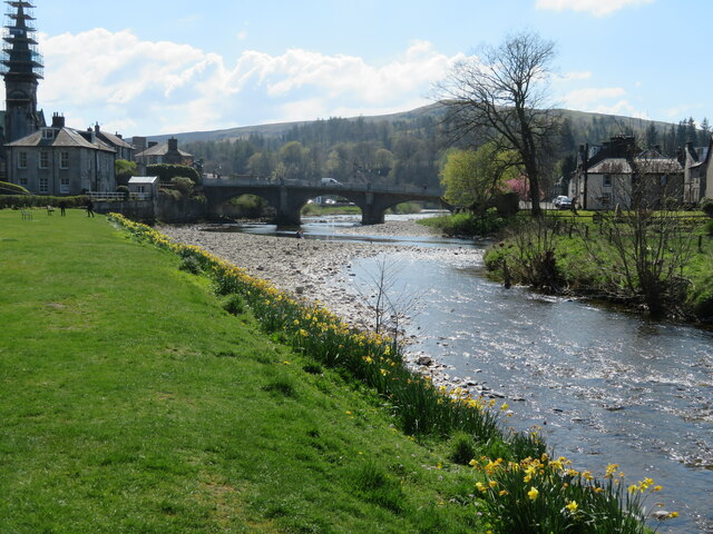
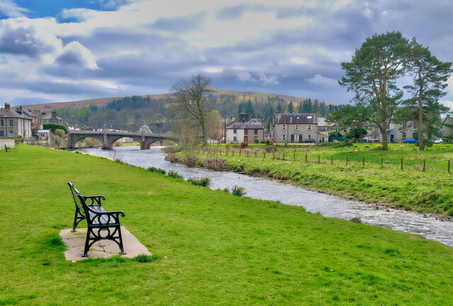
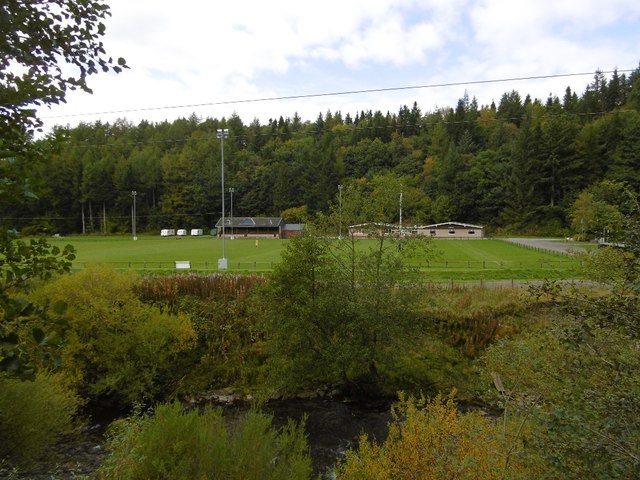
The forest is crisscrossed with a network of well-maintained paths and trails, allowing visitors to explore its hidden treasures. Whether on foot, bike, or horseback, there are routes suitable for all abilities, providing opportunities for leisurely strolls or more challenging adventures. Along the way, visitors may encounter enchanting streams, small waterfalls, and tranquil ponds, creating a sense of serenity and tranquility.

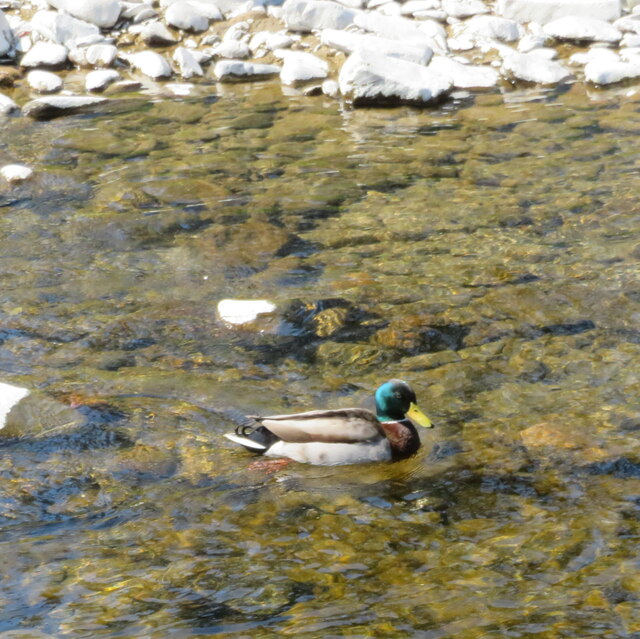
Gallowside Wood also boasts an abundance of wildlife, with deer, red squirrels, and a wide range of bird species calling the forest home. Birdwatchers can delight in sightings of buzzards, woodpeckers, and the elusive red kite soaring through the skies above.

Overall, Gallowside Wood offers a captivating experience for those seeking a connection with nature. Its beauty, biodiversity, and accessibility make it a cherished and well-loved destination in Dumfriesshire.

If you have any feedback on the listing, please let us know in the comments section below.

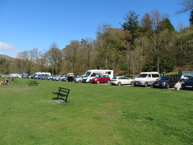
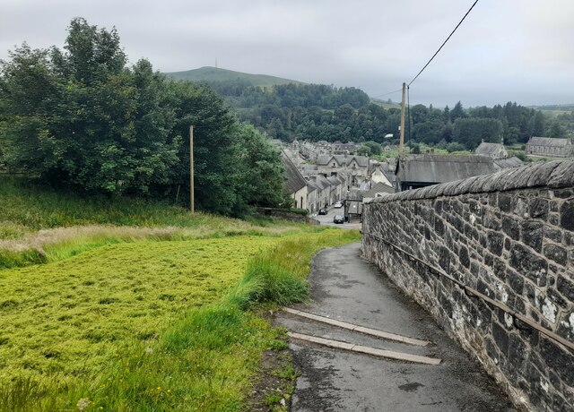
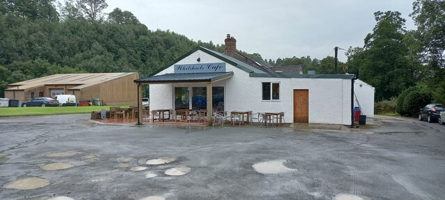
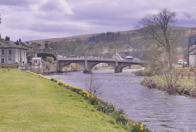
Gallowside Wood Images

Images are sourced within 2km of 55.157005/-3.0159589 or Grid Reference NY3585. Thanks to Geograph Open Source API. All images are credited.

Spire, bridge and tree in Langholm
Car park and picnic place at Langholm A handy stop on the A7 by the Ewes Water, just before it joins the River Esk.
Car park and picnic place at Langholm
A handy stop on the A7 by the Ewes Water, just before it joins the River Esk.
Drake Mallard at Langholm A male Anas platyrhynchos on the Ewes Water.
Drake Mallard at Langholm
A male Anas platyrhynchos on the Ewes Water.
The confluence of the River Esk and Ewes Water The River Esk comes in from the right, by the gravel spit, and the Ewes Water, in the foreground, loses its identity as it flows under the Townhead Bridge as part of the Esk.
The confluence of the River Esk and Ewes Water
The River Esk comes in from the right, by the gravel spit, and the Ewes Water, in the foreground, loses its identity as it flows under the Townhead Bridge as part of the Esk.
Car park at Langholm Conveniently situated on the A7 between the Ewes Water and Bar Wood.
Car park at Langholm
Conveniently situated on the A7 between the Ewes Water and Bar Wood.
Kirk Wynd View Taken from the top of Kirk Wynd looking over the town of Langholm.
Kirk Wynd View
Taken from the top of Kirk Wynd looking over the town of Langholm.
Whitshiels Cafe, Langholm
At Langholm Bridge over the river Esk
At Langholm
Bridge over the river Esk
Ewes Bridge Langholm
Ewes Bridge
Langholm
The River Esk Langholm
The River Esk
Langholm
Cattle, Ewesdale The Malcolm Monument on the skyline: Langholm is approaching.
Cattle, Ewesdale
The Malcolm Monument on the skyline: Langholm is approaching.
Milntown Home of Langholm RFC.
Milntown
Home of Langholm RFC.
Langholm approaching The latest edition of Langholm's relativistic road sign.  Please allow the scenery to pass at 13.4ms^-1 or less. Thank you.
Langholm approaching
The latest edition of Langholm's relativistic road sign. Please allow the scenery to pass at 13.4ms^-1 or less. Thank you.
Eskdale Hotel, Langholm
Pelosis Corner Cafe My spell checker keeps throwing in an apostrophe which is probably correct. Centre of Langholm.
Pelosis Corner Cafe
My spell checker keeps throwing in an apostrophe which is probably correct. Centre of Langholm.
Esk - Ewes confluence Ewes Water (right) joins the Esk in Langholm.
Esk - Ewes confluence
Ewes Water (right) joins the Esk in Langholm.
Langholm to Newcastleton road The climb up to Langholm Moor.
Langholm to Newcastleton road
The climb up to Langholm Moor.
Kirk Wynd, Langholm A side road leading up from the High Street, and start of the walk up Whita Hill. The bunting is up from the Common Riding event in the last week of July.
Kirk Wynd, Langholm
A side road leading up from the High Street, and start of the walk up Whita Hill. The bunting is up from the Common Riding event in the last week of July.
Show me another place!

Gallowside Wood is located at Grid Ref: NY3585 (Lat: 55.157005, Lng: -3.0159589)

Unitary Authority: Dumfries and Galloway

Police Authority: Dumfries and Galloway

What 3 Words

///wound.cupcake.penny. Near Langholm, Dumfries & Galloway

Nearby Locations

Dowie Pool Gallowside Wood

Related Wikis

Duchess Bridge

The Duchess Bridge is a cast iron footbridge over the River Esk in Dumfries and Galloway, Scotland. It was built for Charles Montagu-Scott, 4th Duke of...

Langholm Academy

Langholm Academy is a non-denominational, co-educational six-year comprehensive secondary school in Langholm, Scotland. Currently, the school has 240 pupils...
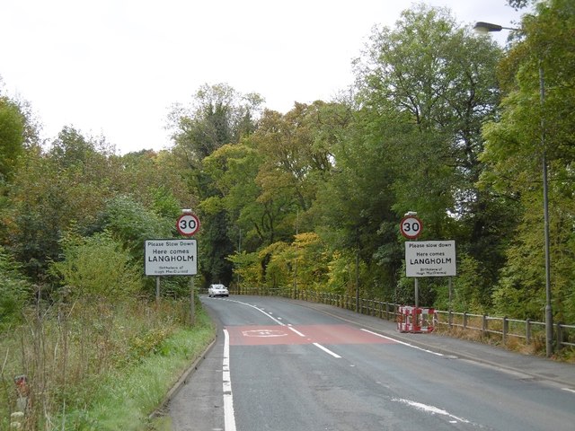
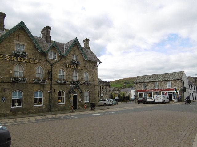
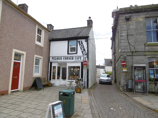
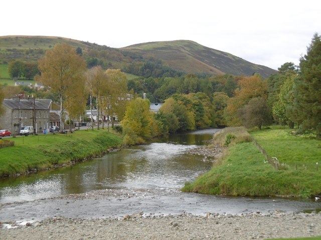
Langholm

Langholm , also known colloquially as the "Muckle Toon", is a burgh in Dumfries and Galloway, southern Scotland. Langholm lies between four hills in the...

Thomas Hope Hospital

Thomas Hope Hospital is a health facility in Strand Street, Langholm, Dumfries and Galloway, Scotland. It is managed by NHS Dumfries and Galloway. ��2...

Wauchope Castle

Wauchope Castle was a castle located at Wauchope, in Dumfries and Galloway, Scotland. The castle was a stronghold of the Lindsay family. It was the caput...

Battle of Arkinholm

The Battle of Arkinholm was fought on 1 May 1455, at Arkinholm near Langholm in Scotland, during the reign of King James II of Scotland. Although a small...

Langholm Town Hall

Langholm Town Hall is a municipal building in the High Street in Langholm, Dumfries and Galloway, Scotland. The structure, which is used as a community...

Langholm railway station

Langholm railway station served the burgh of Langholm, Dumfries and Galloway, Scotland from 1864 to 1967 on the Border Union Railway. == History == The...

Nearby Amenities

Located within 500m of 55.157005,-3.0159589
Bus Stop
Holmwood Drive
Naptan AtcoCode: 680000382111
Naptan Bearing: NW
Naptan BusStopType: CUS
Naptan CommonName: Holmwood Drive
Naptan Indicator: Road End
Naptan Landmark: Holmwood Drive
Naptan NaptanCode: 34234363
Naptan Notes: none
Naptan Street: Thomas Telford Road
Naptan Verified: no
Source: naptan_import
Lat/Long: 55.1557747/-3.0104144
Bus Stop
Holmwood Drive
Naptan AtcoCode: 680000382222
Naptan Bearing: SE
Naptan BusStopType: CUS
Naptan CommonName: Holmwood Drive
Naptan Indicator: opp Road End
Naptan Landmark: Holmwood Drive
Naptan NaptanCode: 34234364
Naptan Notes: none
Naptan Street: Thomas Telford Road
Naptan Verified: no
Source: naptan_import
Lat/Long: 55.1558934/-3.010182
Turning Circle
Lat/Long: 55.1556552/-3.0120482
Power: pole
Lat/Long: 55.159329/-3.0220932
Power: pole
Lat/Long: 55.1580556/-3.0207413
Power: pole
Lat/Long: 55.1570948/-3.0195853
Power: pole
Lat/Long: 55.1567025/-3.0185232
Power: pole
Lat/Long: 55.155947/-3.0164525
Power: pole
Lat/Long: 55.1555838/-3.0155003
Power: pole
Lat/Long: 55.1552145/-3.015047
Power: pole
Lat/Long: 55.1547226/-3.0145186
Power: pole
Lat/Long: 55.1540896/-3.0140412
Power: pole
Lat/Long: 55.1535578/-3.0142236
Power: pole
Lat/Long: 55.1530031/-3.014465
The data included in this document is from www.openstreetmap.org. The data is made available under ODbL.

Have you been to Gallowside Wood?

Leave your review of Gallowside Wood below (or comments, questions and feedback).