Greenrig Wood

Wood, Forest in Fife

Scotland

Greenrig Wood

Farm road towards Hospital Mill
Farm road towards Hospital Mill Credit: JThomas

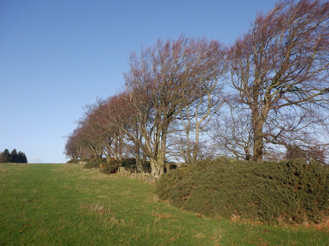
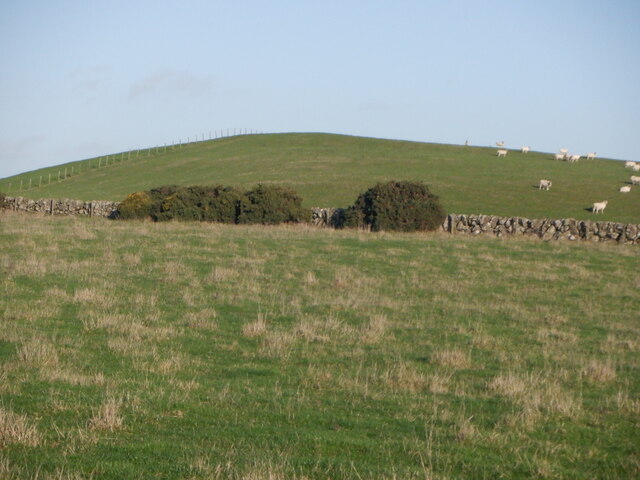
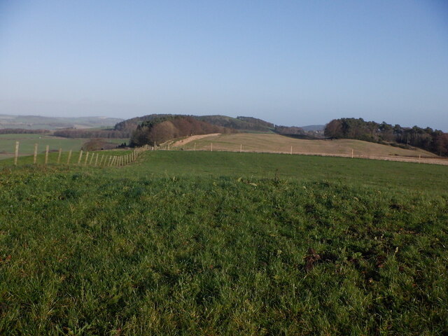
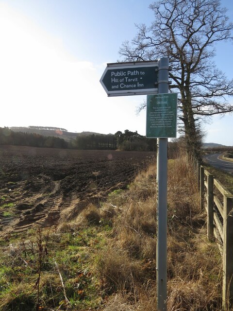
Greenrig Wood is a charming woodland located in Fife, Scotland. Covering an area of approximately 70 acres, this ancient forest is a haven for nature enthusiasts and outdoor adventurers alike. The wood is situated just a few miles northwest of the town of St Andrews, making it easily accessible for visitors from both near and far.

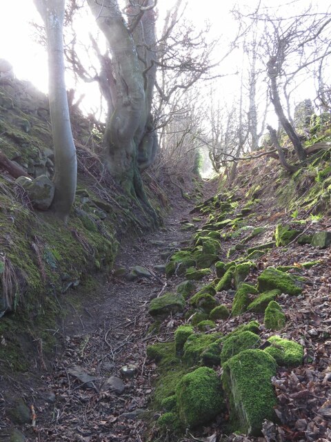
One of the key features of Greenrig Wood is its diverse range of tree species. The woodland is predominantly composed of native trees such as oak, birch, beech, and hazel. This variety of trees creates a rich and vibrant ecosystem, providing a home for a plethora of wildlife, including birds, squirrels, and deer.

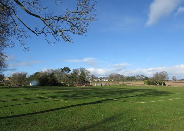
The wood offers a network of well-maintained trails, making it an ideal location for walking, jogging, and cycling. The paths wind their way through the forest, allowing visitors to immerse themselves in the tranquility of nature. Along the way, there are several designated picnic spots where visitors can take a break and enjoy the peaceful surroundings.

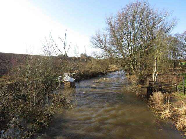
Greenrig Wood also boasts a small pond, which adds to the area's natural beauty. The pond attracts a variety of water-loving creatures, including ducks and dragonflies. It is a popular spot for birdwatchers and photographers who seek to capture the beauty of the local wildlife.

Overall, Greenrig Wood offers a serene escape from the hustle and bustle of everyday life. With its picturesque trails, diverse flora and fauna, and peaceful ambiance, it is a delightful destination for nature lovers and those seeking a tranquil retreat.

If you have any feedback on the listing, please let us know in the comments section below.

Greenrig Wood Images

Images are sourced within 2km of 56.293011/-3.0459315 or Grid Reference NO3511. Thanks to Geograph Open Source API. All images are credited.

Farm road towards Hospital Mill
Flat farmland near the River Eden
Crop field near Damside Towards the River Eden.
Crop field near Damside
Towards the River Eden.
Crop field near Cupar Muir
1A91 Edinburgh to Aberdeen service at Springfield
Tod's Wood
Tod's Wood
Walton Hill
Walton Hill
Summit, Walton Hill
Summit, Walton Hill
Springfield View from Walton Hill.
Springfield
View from Walton Hill.
Road into Cupar Muir from south-west
Footpath to Chance Inn and Hill of Tarvit
River Eden south of Cupar Muir
Benchmark on farm building, Elmwood College Farm, Cupar Muir Ordnance Survey benchmark described on database at <span class="nowrap"><a title="https://www.bench-marks.org.uk/bm190855" rel="nofollow ugc noopener" href="https://www.bench-marks.org.uk/bm190855">Link</a><img style="margin-left:2px;" alt="External link" title="External link - shift click to open in new window" src="https://s1.geograph.org.uk/img/external.png" width="10" height="10"/></span>. For context photo, see <a href="https://www.geograph.org.uk/photo/7462693">NO3512 : Elmwood College Farm, Cupar Muir</a>.
Benchmark on farm building, Elmwood College Farm, Cupar Muir
Ordnance Survey benchmark described on database at LinkExternal link. For context photo, see NO3512 : Elmwood College Farm, Cupar Muir.
Benchmark on wall near Cults Mill Ordnance Survey benchmark on wall on A914 near Cults Mill. Database entry: <span class="nowrap"><a title="https://www.bench-marks.org.uk/bm163969" rel="nofollow ugc noopener" href="https://www.bench-marks.org.uk/bm163969">Link</a><img style="margin-left:2px;" alt="External link" title="External link - shift click to open in new window" src="https://s1.geograph.org.uk/img/external.png" width="10" height="10"/></span>
Benchmark on wall near Cults Mill
Ordnance Survey benchmark on wall on A914 near Cults Mill. Database entry: LinkExternal link
Railway bridge, Cupar Muir
Lovely old footpath to Scotstarvit Tower
Recreational ground, Stratheden Hospital
Entrance to Elmwood Golf Course
Show me another place!

Greenrig Wood is located at Grid Ref: NO3511 (Lat: 56.293011, Lng: -3.0459315)

Unitary Authority: Fife

Police Authority: Fife

What 3 Words

///princely.scrap.monkeys. Near Cupar, Fife

Nearby Locations

Greenrig Wood Bogle Wood

Related Wikis

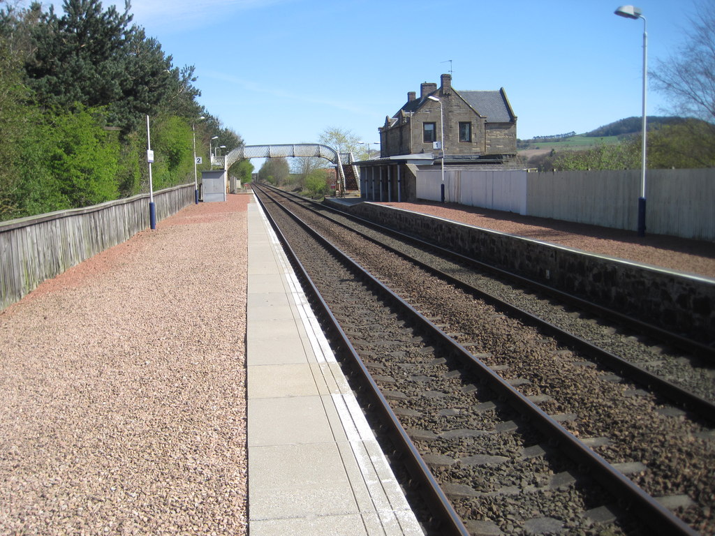
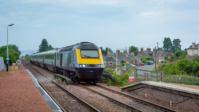
Springfield railway station (Scotland)

Springfield railway station serves the village of Springfield in Fife, Scotland. The station has two platforms and is unstaffed. Services are operated...

Springfield, Fife

Springfield is a village that lies at the edge of the Howe of Fife, to the south-west of the town of Cupar, Fife, Scotland. The origin of the community...

Stratheden, Fife

Stratheden (Gaelic: Srath Aodainn) is a hamlet 2 miles west of Cupar, and just north of Springfield, in Fife, Scotland. Stratheden Hospital was built as...
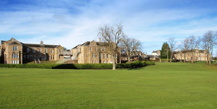
Stratheden Hospital

Stratheden Hospital is currently a small community hospital in Stratheden, Cupar, Fife which was originally called Fife and Kinross District Asylum. Its...

Cupar Muir

Cupar Muir or Cuparmuir is a hamlet or small village situated just outside the town of Cupar, Fife. Lying around 25.5 miles (41 km) north of Edinburgh...

Scotstarvit Tower

Scotstarvit Tower is a tower house in Fife, Scotland. It is situated 2 miles (3.2 km) south of Cupar, between Tarvit Hill and Walton Hill, south of the...

St Andrews Burghs (UK Parliament constituency)

St Andrews Burghs was a district of burghs constituency, representing various burghs of Fife, Scotland, in the House of Commons of the Parliament of the...

Hill of Tarvit

The Hill of Tarvit is a 20th-century mansion house and gardens in Fife, Scotland. They were designed by Sir Robert Lorimer and are today owned by the National...

Nearby Amenities

Located within 500m of 56.293011,-3.0459315
Springfield
Naptan AtcoCode: 9100SPFD
Network: National Rail
Network Website: https://www.nationalrail.co.uk/stations/spf/
Network Wikidata: Q26334
Operator: ScotRail
Operator Website: https://www.scotrail.co.uk/plan-your-journey/stations-and-facilities/spf
Operator Wikidata: Q18356161
Public Transport: station
Railway: station
Ref Crs: SPF
Source: NPE
Train: yes
Wikidata: Q2254054
Wikipedia: en:Springfield railway station
Lat/Long: 56.2951661/-3.0523971
Passing Place
Passing Place: left
Lat/Long: 56.2922816/-3.0511201
Clushford Toll
Place: isolated_dwelling
Lat/Long: 56.2911064/-3.0428408
Addr Housenumber: 3
Addr Street: Crawford Priory Stables
Lat/Long: 56.2912609/-3.0529853
Addr Housenumber: 2
Addr Street: Crawford Priory Stables
Lat/Long: 56.291326/-3.052659
Addr Housenumber: 1
Addr Street: Crawford Priory Stables
Lat/Long: 56.2912321/-3.052519
Addr Housenumber: 4
Addr Street: Crawford Priory Stables
Lat/Long: 56.2911163/-3.0532001
Addr Housenumber: 5
Addr Street: Crawford Priory Stables
Lat/Long: 56.291037/-3.0530821
Bus Stop
Clushford Toll (Northbound)
Bench: yes
Bin: no
Bus: yes
Departures Board: timetable
Naptan AtcoCode: 6500N0176
Naptan NaptanCode: 34342686
Operator: Fife Council
Public Transport: platform
Ref: 34398745
Shelter: yes
Lat/Long: 56.2905423/-3.04265
Bus Stop
Clushford Toll (Southbound)
Bus: yes
Departures Board: no
Naptan AtcoCode: 6500N9042
Naptan NaptanCode: 34398745
Operator: Fife Council
Public Transport: platform
Ref: 34342686
Shelter: no
Lat/Long: 56.2906641/-3.0427691
The data included in this document is from www.openstreetmap.org. The data is made available under ODbL.

Have you been to Greenrig Wood?

Leave your review of Greenrig Wood below (or comments, questions and feedback).