Bogle Wood

Wood, Forest in Fife

Scotland

Bogle Wood

Grazing towards the River Eden
Grazing towards the River Eden Credit: JThomas

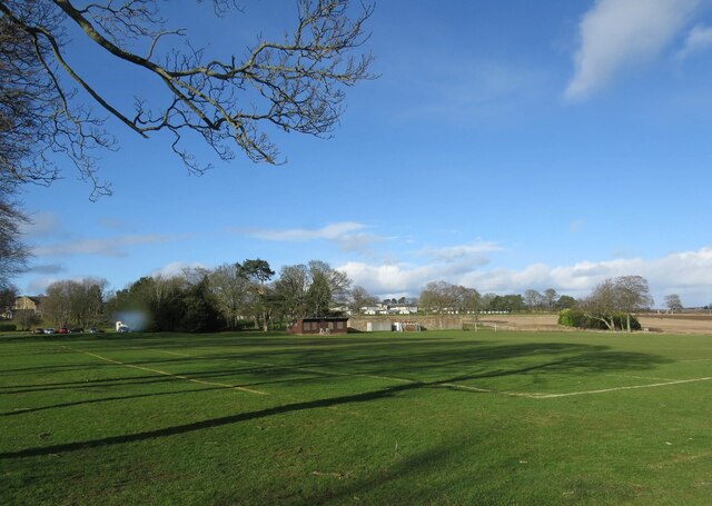
Bogle Wood is a stunning forest located in the county of Fife, Scotland. Spanning over an area of approximately 200 acres, this wood is a haven of natural beauty and tranquility. It is situated near the village of Bogle, hence the name of the wood.

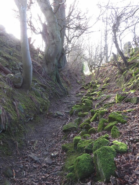
The woodland is predominantly composed of native broadleaf trees, such as oak, birch, and beech, which create a lush and vibrant canopy overhead. The dense foliage of Bogle Wood provides a perfect habitat for a diverse range of flora and fauna, making it a hotspot for nature enthusiasts and wildlife lovers.

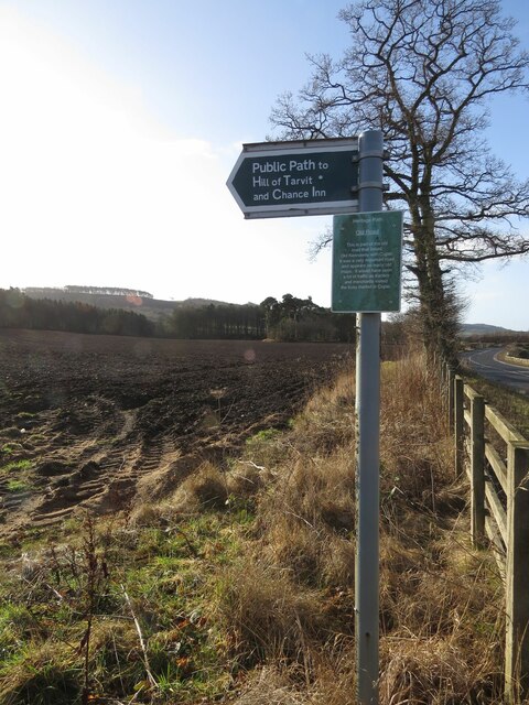
Visitors to Bogle Wood can enjoy a network of well-maintained walking trails that wind through the forest. These trails offer breathtaking views of the surrounding countryside and are suitable for all ages and abilities. The wood is also home to a variety of bird species, including woodpeckers, owls, and thrushes, making it a popular destination for birdwatchers.

In addition to its natural beauty, Bogle Wood boasts a rich history. The wood is believed to have been used for timber production in the past, contributing to the local economy. Today, it is managed by the local authorities, who ensure its preservation and conservation.

Whether you are seeking a peaceful retreat to connect with nature or an opportunity to explore the Scottish countryside, Bogle Wood in Fife is a must-visit destination. Its picturesque landscapes, diverse wildlife, and tranquil atmosphere make it an enchanting place to escape the hustle and bustle of everyday life.

If you have any feedback on the listing, please let us know in the comments section below.
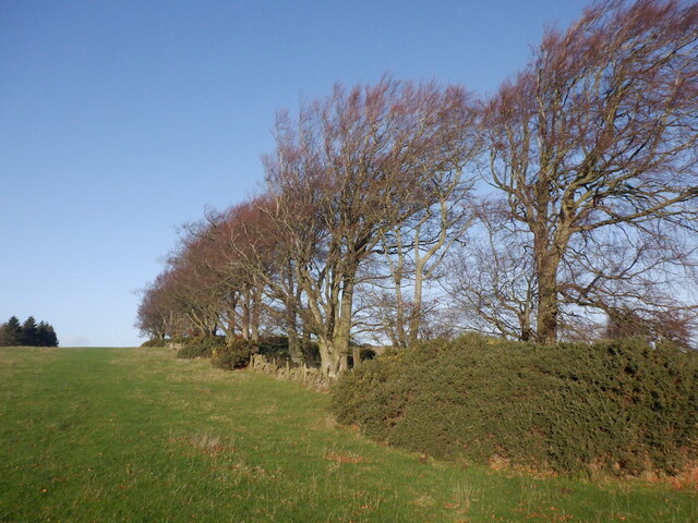
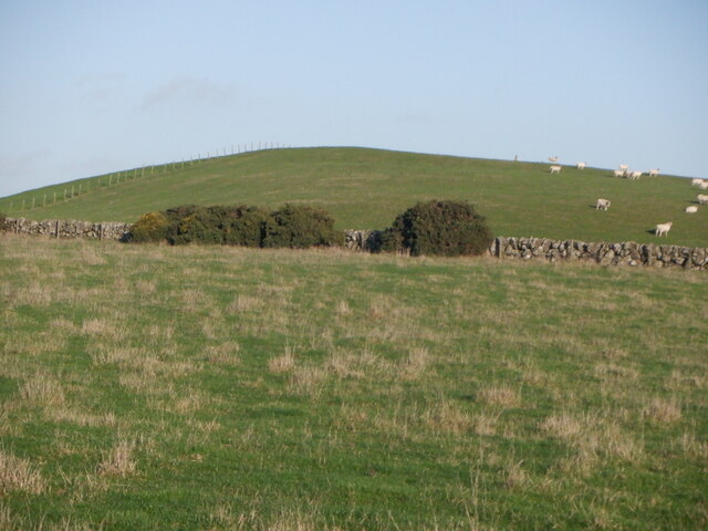
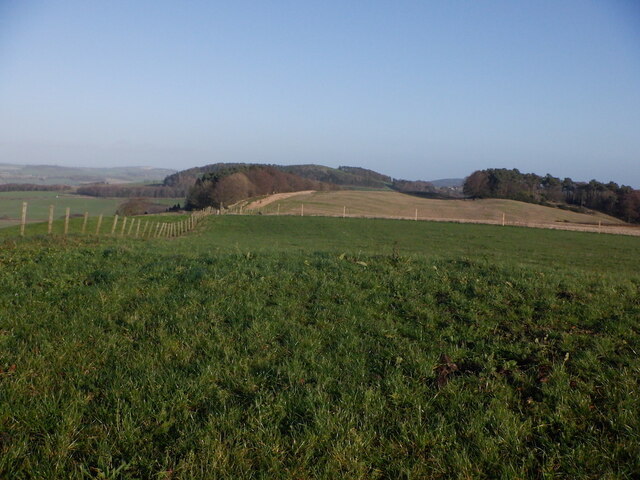
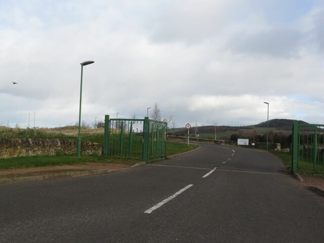
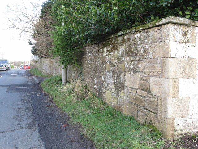
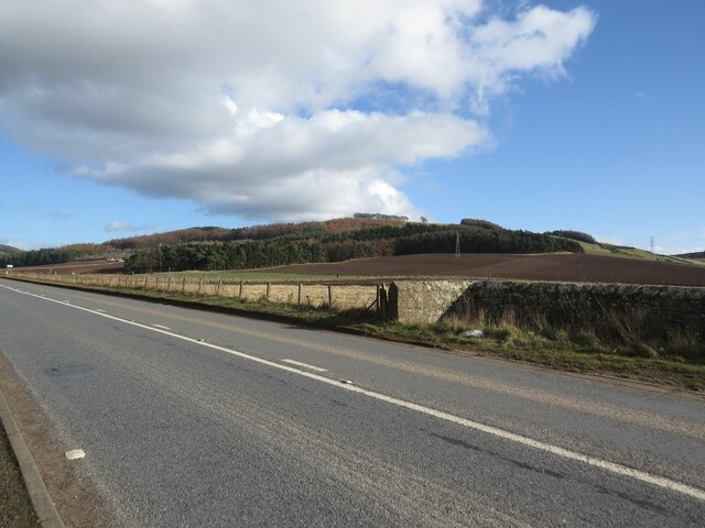
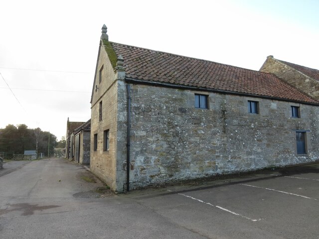
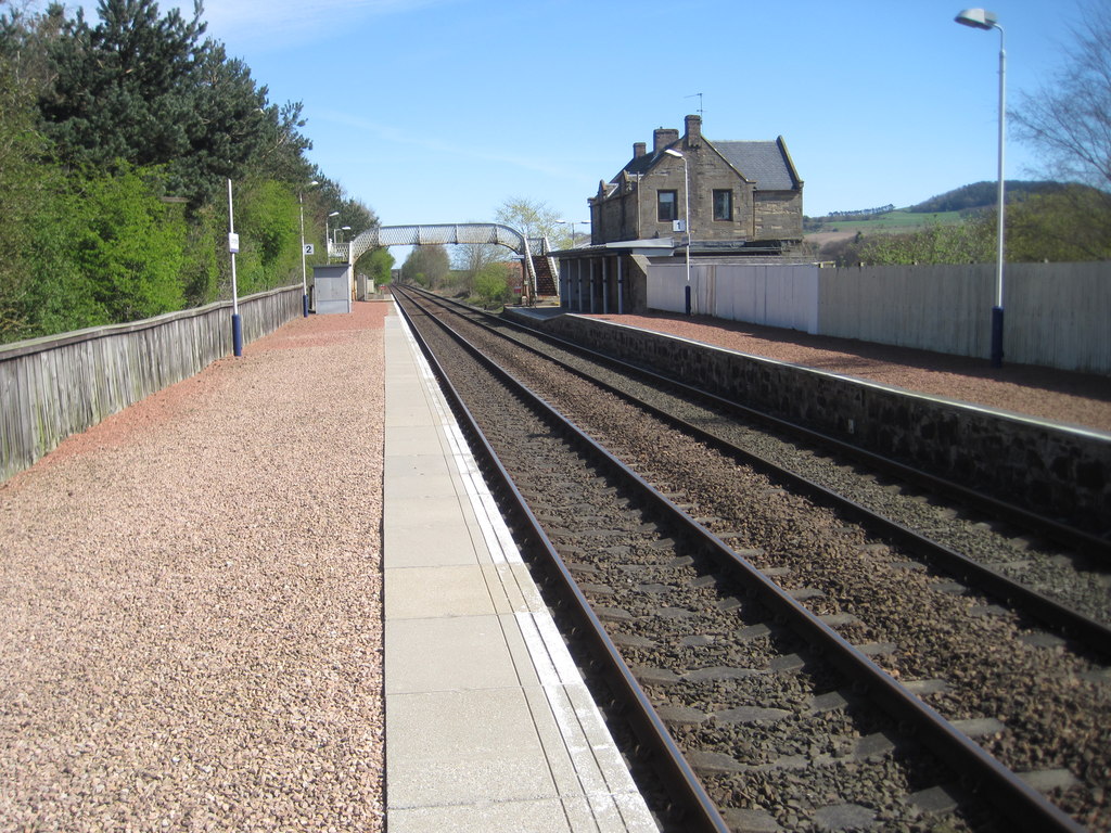
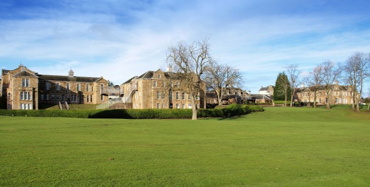
Bogle Wood Images

Images are sourced within 2km of 56.287781/-3.0492619 or Grid Reference NO3511. Thanks to Geograph Open Source API. All images are credited.

Grazing towards the River Eden
Farm road towards Hospital Mill
Flat farmland near the River Eden
Crop field near Damside Towards the River Eden.
Crop field near Damside
Towards the River Eden.
1A91 Edinburgh to Aberdeen service at Springfield
Tod's Wood
Tod's Wood
Walton Hill
Walton Hill
Summit, Walton Hill
Summit, Walton Hill
Springfield View from Walton Hill.
Springfield
View from Walton Hill.
Footpath to Chance Inn and Hill of Tarvit
Benchmark on farm building, Elmwood College Farm, Cupar Muir Ordnance Survey benchmark described on database at <span class="nowrap"><a title="https://www.bench-marks.org.uk/bm190855" rel="nofollow ugc noopener" href="https://www.bench-marks.org.uk/bm190855">Link</a><img style="margin-left:2px;" alt="External link" title="External link - shift click to open in new window" src="https://s1.geograph.org.uk/img/external.png" width="10" height="10"/></span>. For context photo, see <a href="https://www.geograph.org.uk/photo/7462693">NO3512 : Elmwood College Farm, Cupar Muir</a>.
Benchmark on farm building, Elmwood College Farm, Cupar Muir
Ordnance Survey benchmark described on database at LinkExternal link. For context photo, see NO3512 : Elmwood College Farm, Cupar Muir.
Benchmark on wall near Cults Mill Ordnance Survey benchmark on wall on A914 near Cults Mill. Database entry: <span class="nowrap"><a title="https://www.bench-marks.org.uk/bm163969" rel="nofollow ugc noopener" href="https://www.bench-marks.org.uk/bm163969">Link</a><img style="margin-left:2px;" alt="External link" title="External link - shift click to open in new window" src="https://s1.geograph.org.uk/img/external.png" width="10" height="10"/></span>
Benchmark on wall near Cults Mill
Ordnance Survey benchmark on wall on A914 near Cults Mill. Database entry: LinkExternal link
Lovely old footpath to Scotstarvit Tower
Recreational ground, Stratheden Hospital
Entrance to Elmwood Golf Course
Boundary Wall, Crawley House, Springfield An Ordnance Survey benchmark can be seen at the bottom right of the photo. For close up photo, see <a title="https://www.geograph.org.uk/photo/6347903" href="https://www.geograph.org.uk/photo/6347903">Link</a> and for database entry, see <span class="nowrap"><a title="https://www.bench-marks.org.uk/bm114172" rel="nofollow ugc noopener" href="https://www.bench-marks.org.uk/bm114172">Link</a><img style="margin-left:2px;" alt="External link" title="External link - shift click to open in new window" src="https://s1.geograph.org.uk/img/external.png" width="10" height="10"/></span>. See also <a title="https://www.geograph.org.uk/photo/6347905" href="https://www.geograph.org.uk/photo/6347905">Link</a>.
Boundary Wall, Crawley House, Springfield
An Ordnance Survey benchmark can be seen at the bottom right of the photo. For close up photo, see Link and for database entry, see LinkExternal link. See also Link.
A914 near Cults Lady Mary's Wood in the background.
A914 near Cults
Lady Mary's Wood in the background.
Elmwood College Farm, Cupar Muir There is an Ordnance Survey benchmark on this building. See <a href="https://www.geograph.org.uk/photo/7462684">NO3512 : Benchmark on farm building, Elmwood College Farm, Cupar Muir</a> for close up photo.
Elmwood College Farm, Cupar Muir
There is an Ordnance Survey benchmark on this building. See NO3512 : Benchmark on farm building, Elmwood College Farm, Cupar Muir for close up photo.
Show me another place!

Bogle Wood is located at Grid Ref: NO3511 (Lat: 56.287781, Lng: -3.0492619)

Unitary Authority: Fife

Police Authority: Fife

What 3 Words

///obey.survey.lingering. Near Cupar, Fife

Nearby Locations

Bogle Wood Greenrig Wood

Related Wikis

Nearby Amenities

Located within 500m of 56.287781,-3.0492619
Addr Housenumber: 3
Addr Street: Crawford Priory Stables
Lat/Long: 56.2912609/-3.0529853
Addr Housenumber: 2
Addr Street: Crawford Priory Stables
Lat/Long: 56.291326/-3.052659
Addr Housenumber: 1
Addr Street: Crawford Priory Stables
Lat/Long: 56.2912321/-3.052519
Addr Housenumber: 4
Addr Street: Crawford Priory Stables
Lat/Long: 56.2911163/-3.0532001
Addr Housenumber: 5
Addr Street: Crawford Priory Stables
Lat/Long: 56.291037/-3.0530821
Barrier: entrance
Description: Fence has been pulled into a hole large enough to fit through.
Lat/Long: 56.2889921/-3.0556913
The data included in this document is from www.openstreetmap.org. The data is made available under ODbL.

Have you been to Bogle Wood?

Leave your review of Bogle Wood below (or comments, questions and feedback).