Clatto Hill

Hill, Mountain in Fife

Scotland

Clatto Hill

Clatto Hill Open land in the 1940s, now home to mature forestry.
Clatto Hill Credit: Richard Webb

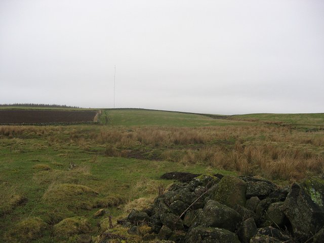
Clatto Hill is a prominent hill located in the county of Fife, Scotland. Situated about 6 miles west of the town of St Andrews, it forms part of the Lomond Hills range. With an elevation of 278 meters (912 feet), Clatto Hill offers panoramic views of the surrounding countryside and the Firth of Tay.

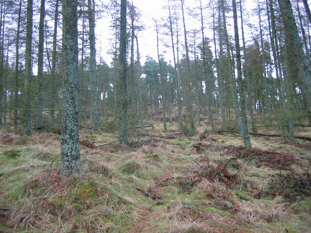
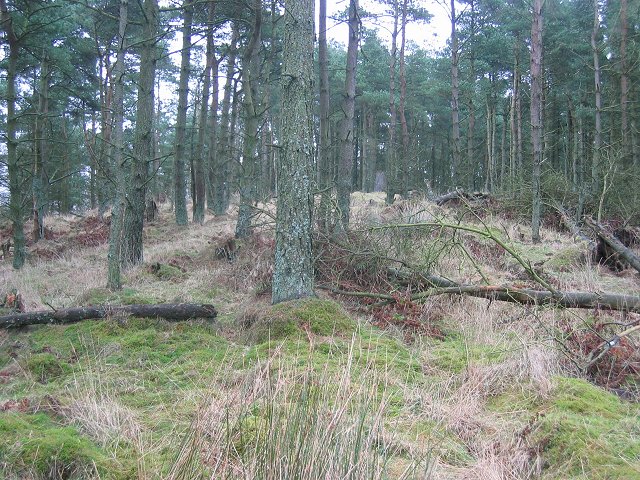
The hill is primarily composed of sandstone, which gives it a distinctive reddish appearance. It is covered in heather and grass, making it a popular spot for hiking and nature walks. The well-maintained paths and trails allow visitors to explore the hill and its diverse flora and fauna.

Clatto Hill is also known for its historical significance. The remains of an Iron Age fort can be found on its summit, dating back to around 1000 BC. This archaeological site is a testament to the hill's strategic importance in ancient times.

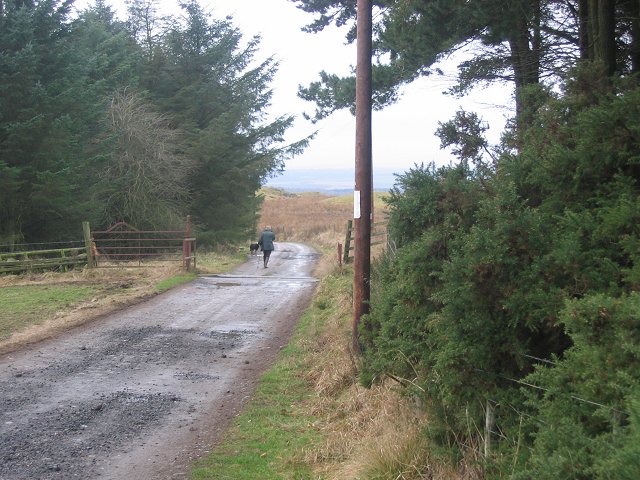
The hill is easily accessible, with a car park and picnic area located nearby. It attracts both locals and tourists who come to enjoy its natural beauty and recreational activities. The peaceful and tranquil atmosphere of Clatto Hill makes it an ideal destination for nature lovers and those seeking a break from the bustling city life.

Overall, Clatto Hill in Fife offers a unique blend of natural beauty, historical significance, and recreational opportunities, making it a must-visit destination for anyone exploring the region.

If you have any feedback on the listing, please let us know in the comments section below.
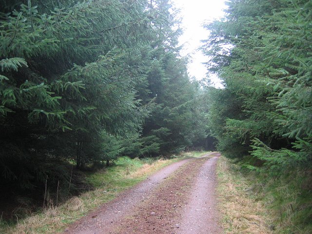
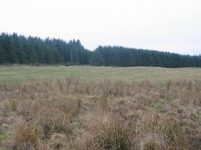
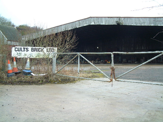
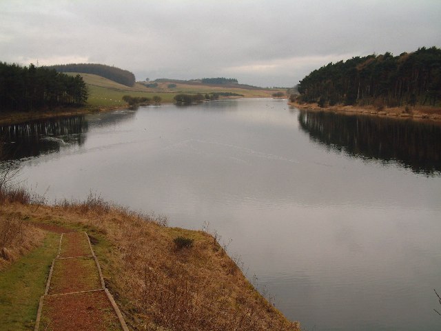
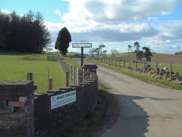
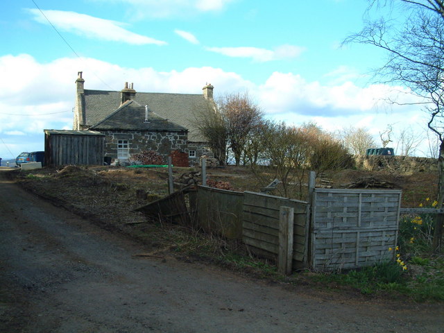
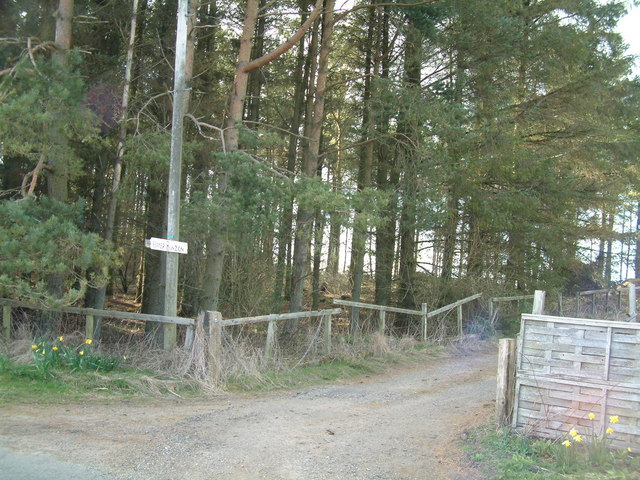
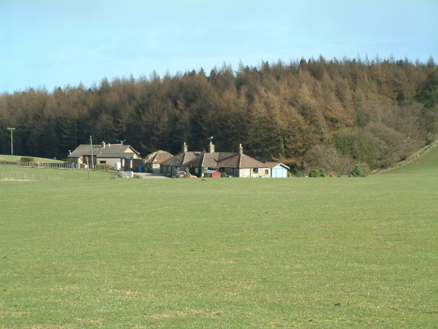
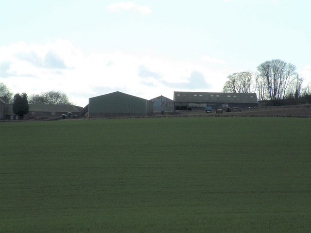
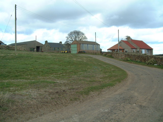
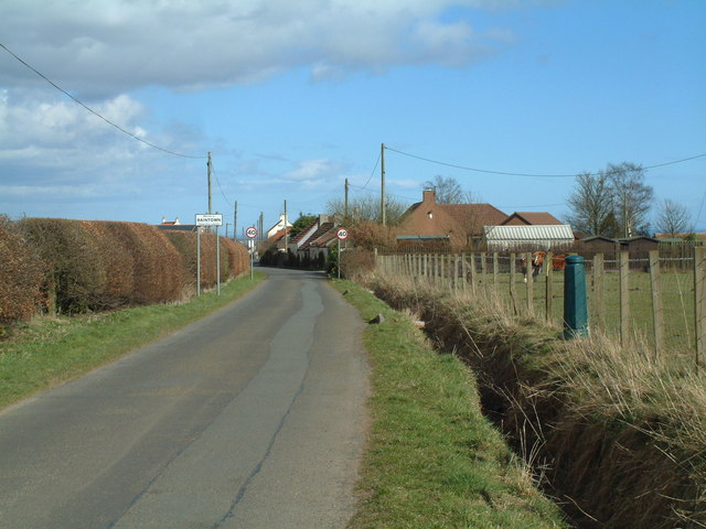
Clatto Hill Images

Images are sourced within 2km of 56.246797/-3.0412659 or Grid Reference NO3506. Thanks to Geograph Open Source API. All images are credited.

Clatto Hill Open land in the 1940s, now home to mature forestry.
Clatto Hill
Open land in the 1940s, now home to mature forestry.
Clatto Hill Gap between Devon Wood and Clatto Hill plantations looking west. The dog walker was very interested in my registration plate. With good reason, loads of fly tipping going on here.
Clatto Hill
Gap between Devon Wood and Clatto Hill plantations looking west. The dog walker was very interested in my registration plate. With good reason, loads of fly tipping going on here.
Clatto Hill The summit. The trig point was marked with claw marks. Given the talk of leopards in the woods of Fife, I was relieved to see that they were the work of badgers.
Clatto Hill
The summit. The trig point was marked with claw marks. Given the talk of leopards in the woods of Fife, I was relieved to see that they were the work of badgers.
Farmland above Devon A lot of land here is wooded, but this is still farmland. Another wind prospecting mast suggests changes possible. The cairn is made of rocks cleared from the land. Looking north.
Farmland above Devon
A lot of land here is wooded, but this is still farmland. Another wind prospecting mast suggests changes possible. The cairn is made of rocks cleared from the land. Looking north.
Devon Wood Thick spruce c/o The Forestry Commission.
Devon Wood
Thick spruce c/o The Forestry Commission.
Devon Wood. Much of the square is forestry. Here for a change from a road in deep Sitka is a view of the forest edge. Looking SE. The foreground is wet farmland.
Devon Wood.
Much of the square is forestry. Here for a change from a road in deep Sitka is a view of the forest edge. Looking SE. The foreground is wet farmland.
Cults Brickworks
Cults Brickworks
Clatto Reservoir Nature reserve, seen from the east, close to the dam.
Clatto Reservoir
Nature reserve, seen from the east, close to the dam.
Telecom masts Erected on top of a 242 m hill near Downfield Farm.
Telecom masts
Erected on top of a 242 m hill near Downfield Farm.
Downfield Farm Road Private road to the farm
Downfield Farm Road
Private road to the farm
Upper Bunzion A smallholding near the top of Cults Hill
Upper Bunzion
A smallholding near the top of Cults Hill
Conifer plantation Cpommercial forestry plantation beside Upper Bunzion
Conifer plantation
Cpommercial forestry plantation beside Upper Bunzion
Clatto Cottages A row of farm workers cottages jut west of Clatto Farm
Clatto Cottages
A row of farm workers cottages jut west of Clatto Farm
Colliston Hill Kilmux Wood crowns Colliston Hill
Colliston Hill
Kilmux Wood crowns Colliston Hill
Kilmux Farm Viewed from the north-east
Kilmux Farm
Viewed from the north-east
Clatto Barns A working farm, with an active motorcycle off-road track within its grounds.
Clatto Barns
A working farm, with an active motorcycle off-road track within its grounds.
Downfield Cottages
Downfield Cottages
Fishing on the loch
Fishing on the loch
Show me another place!

Clatto Hill is located at Grid Ref: NO3506 (Lat: 56.246797, Lng: -3.0412659)

Unitary Authority: Fife

Police Authority: Fife

What 3 Words

///leathers.essential.warriors. Near Kennoway, Fife

Related Wikis

Nearby Amenities

Located within 500m of 56.246797,-3.0412659
Clatto Hill
Ele: 248
Natural: peak
Source: npe
Lat/Long: 56.2465454/-3.0410687
The data included in this document is from www.openstreetmap.org. The data is made available under ODbL.

Have you been to Clatto Hill?

Leave your review of Clatto Hill below (or comments, questions and feedback).