Cushat Wood
Wood, Forest in Midlothian
Scotland
Cushat Wood
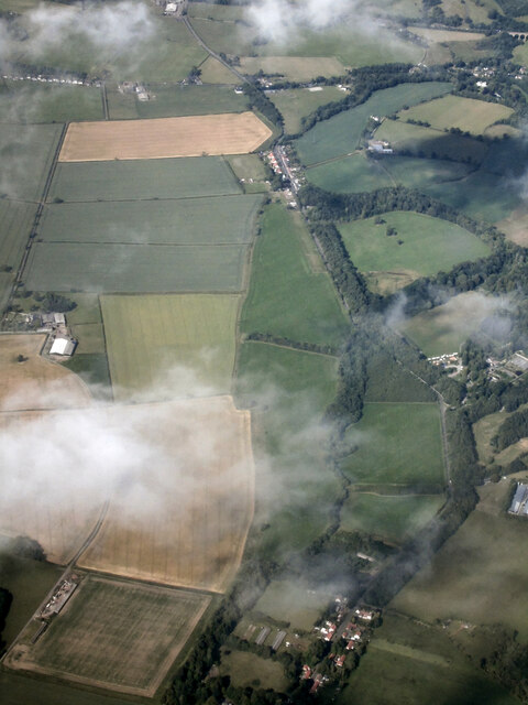
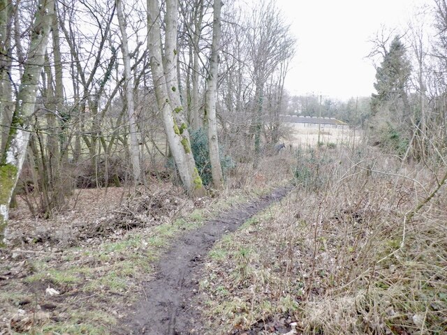
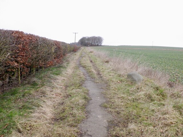
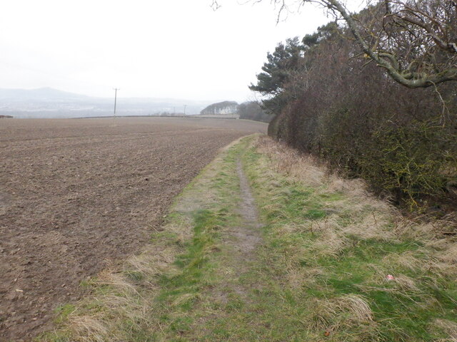
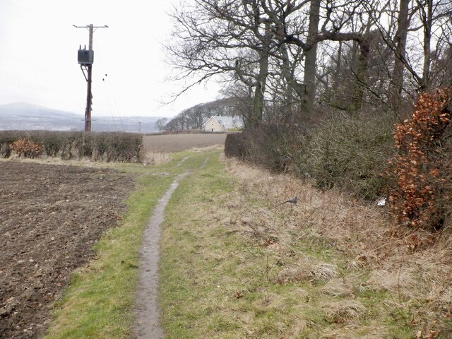
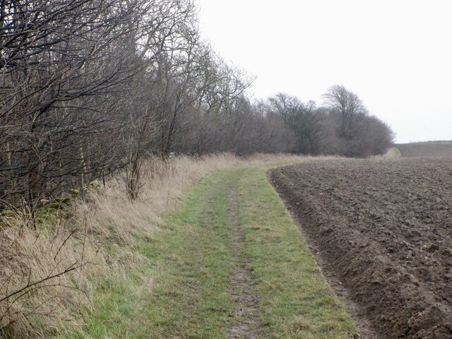
Cushat Wood, located in Midlothian, Scotland, is a picturesque forest that spans over an area of approximately 100 hectares. Situated just a few miles southeast of Edinburgh, this woodland is a popular destination for nature enthusiasts, hikers, and wildlife photographers.
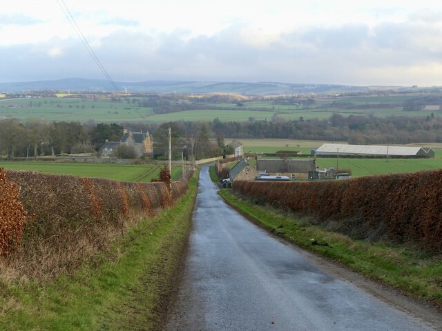
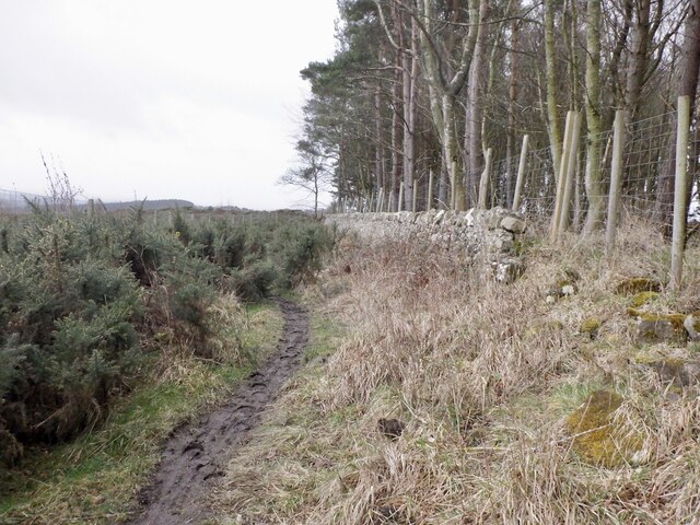
The forest mainly comprises towering oak and beech trees, which provide a dense canopy, casting dappled sunlight onto the forest floor. The varied topography of Cushat Wood adds to its charm, with gentle slopes, small streams, and hidden glens that create a sense of tranquility.
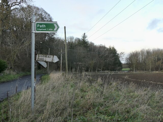
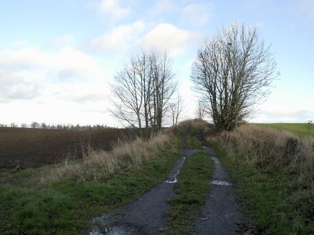
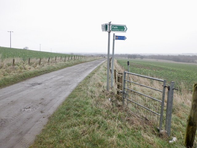
The wood is well-maintained, with several well-marked trails that wind through the forest, making it easy for visitors to explore the area. These trails vary in difficulty, catering to both casual walkers and experienced hikers. Along the way, one can discover an abundance of flora and fauna, including bluebells, foxgloves, and various bird species.
Cushat Wood is also known for its diverse wildlife population. Red squirrels are a common sight, as well as roe deer, which can often be seen grazing in the open spaces within the woodland. The forest also provides a habitat for numerous bird species, such as woodpeckers, owls, and buzzards.
In addition to its natural beauty, Cushat Wood offers excellent opportunities for outdoor activities. Picnic areas are available for visitors to relax and enjoy the peaceful surroundings, while designated camping spots are provided for those who wish to spend a night under the stars.
Overall, Cushat Wood is a remarkable forest that offers a respite from the bustling city life. Its stunning scenery, well-maintained trails, and abundant wildlife make it a must-visit destination for nature lovers and outdoor enthusiasts alike.
If you have any feedback on the listing, please let us know in the comments section below.
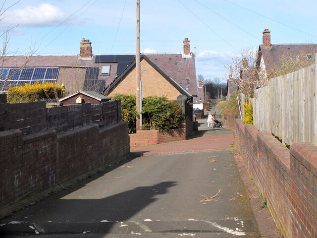
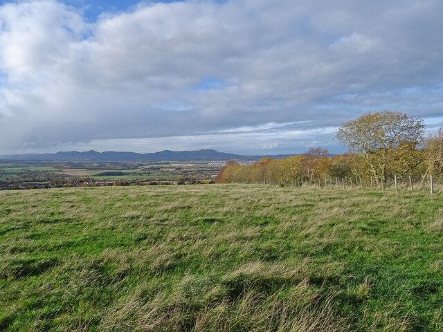
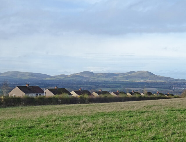
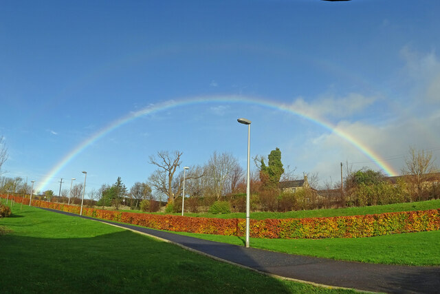
Cushat Wood Images
Images are sourced within 2km of 55.863204/-3.0336784 or Grid Reference NT3563. Thanks to Geograph Open Source API. All images are credited.

Cushat Wood is located at Grid Ref: NT3563 (Lat: 55.863204, Lng: -3.0336784)
Unitary Authority: Midlothian
Police Authority: The Lothians and Scottish Borders
What 3 Words
///cluttered.objective.lost. Near Mayfield, Midlothian
Nearby Locations
Related Wikis
Mayfield, Midlothian
Mayfield is a community in Midlothian, Scotland, located just south of Dalkeith near Edinburgh between the A68 and the A7 south. It had an estimated population...

D'Arcy, Midlothian
D'Arcy is a hamlet in Midlothian, Scotland, located just south of Dalkeith near Edinburgh. It is ¼ mile east of Mayfield and lies within the Civil Parish...

Easthouses Lily Miners Welfare F.C.
Easthouses Lily Miners Welfare Football Club are a Scottish football club, based in the Midlothian town of Easthouses. The team currently plays in the...
Newbattle High School
Newbattle High School (formerly Newbattle Community High School) is a non-denominational secondary state school located in Easthouses, Midlothian, Scotland...

Easthouses
Easthouses is a settlement in Midlothian, Scotland, lying to the east of Newtongrange and south of Dalkeith. It forms the northern extension of the settlement...
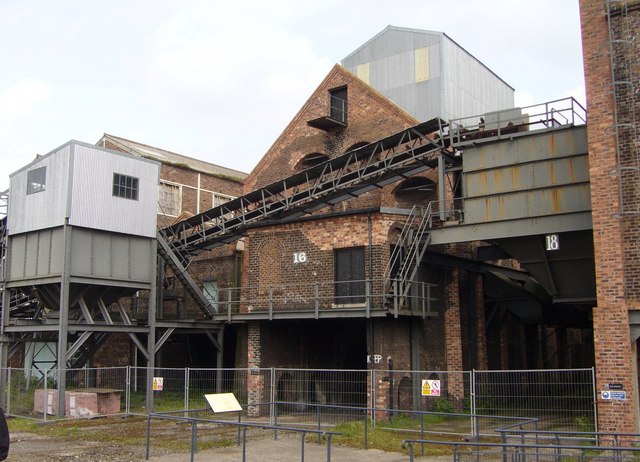
National Mining Museum Scotland
The National Mining Museum Scotland was created in 1984, to preserve the physical surface remains of Lady Victoria Colliery at Newtongrange, Midlothian...
Newbattle
Newbattle (from Neubotle, i.e. new dwelling) is a village and civil parish in Midlothian, in the ancient Roman Catholic Diocese of St. Andrews, about seven...

Newtongrange
Newtongrange () is a former mining village in Midlothian, Scotland. Known in local dialect as Nitten, or Nitten by the Bing (), it became Scotland's largest...
Nearby Amenities
Located within 500m of 55.863204,-3.0336784Have you been to Cushat Wood?
Leave your review of Cushat Wood below (or comments, questions and feedback).