Camp Wood
Wood, Forest in Midlothian
Scotland
Camp Wood

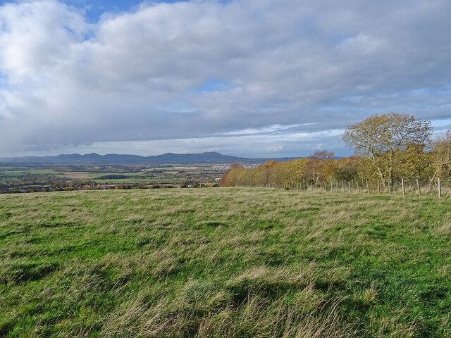
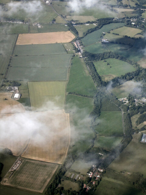
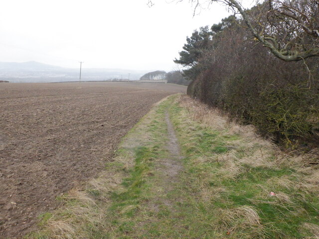
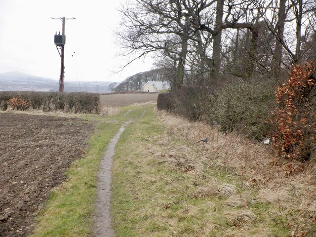
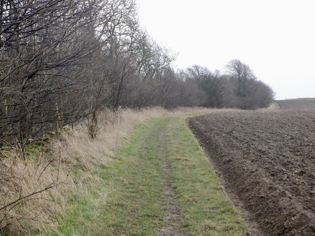
Camp Wood is a small woodland area located in Midlothian, Scotland. Situated in the picturesque countryside, it covers an area of approximately 20 acres. The woodland is densely populated with a variety of trees, including oak, beech, and birch, creating a vibrant and diverse ecosystem.
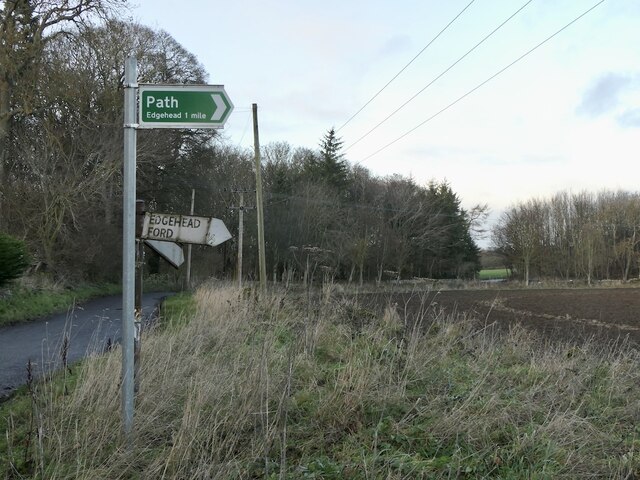
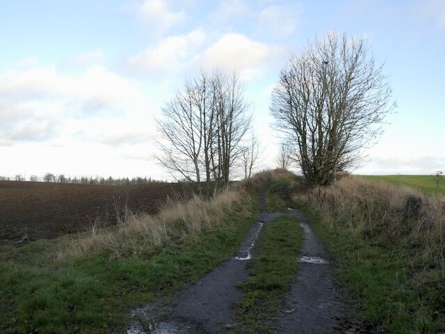
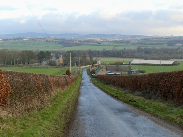
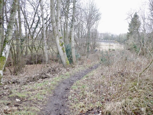
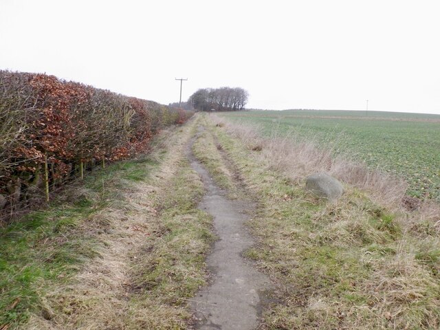
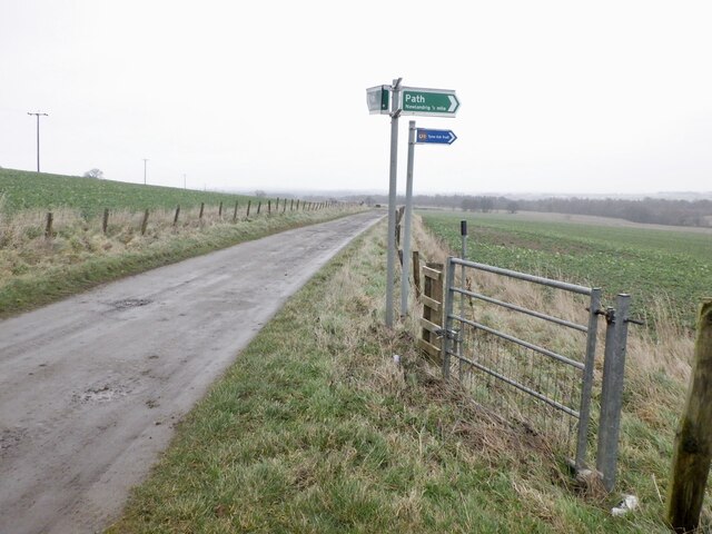
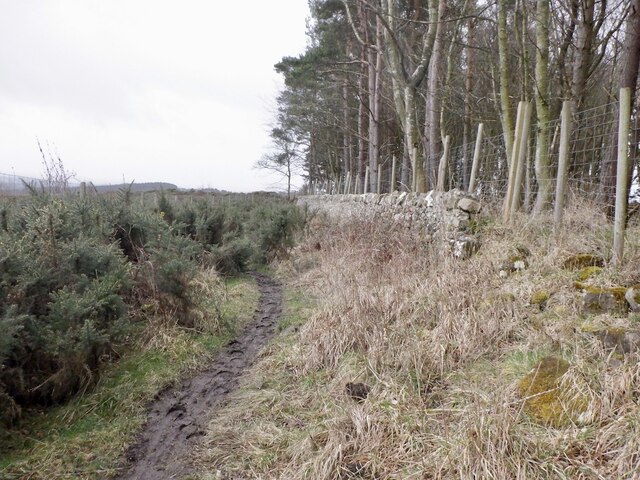
The woodland is well-maintained and offers a peaceful environment for visitors to enjoy nature. There are several walking trails that meander through the forest, allowing visitors to explore the area at their own pace. These paths are well-marked and provide a safe and enjoyable experience for hikers of all abilities.
Camp Wood is home to a rich array of wildlife, including various bird species, squirrels, and deer. It is a popular spot for birdwatching enthusiasts, who can spot species such as woodpeckers, robins, and owls. The woodland also provides a habitat for a variety of plants and insects, contributing to its ecological significance.
The wood is open to the public year-round, and visitors can enjoy picnics or simply relax amidst the tranquil surroundings. In addition, there is a designated camping area for those wishing to spend the night under the stars. Facilities such as picnic tables and restroom facilities are available to enhance the visitor experience.
Overall, Camp Wood in Midlothian offers a wonderful opportunity for nature lovers to immerse themselves in a pristine woodland setting. With its well-maintained trails, diverse ecosystem, and abundant wildlife, it is a haven for those seeking a peaceful and immersive outdoor experience.
If you have any feedback on the listing, please let us know in the comments section below.
Camp Wood Images
Images are sourced within 2km of 55.860753/-3.0333418 or Grid Reference NT3563. Thanks to Geograph Open Source API. All images are credited.
Camp Wood is located at Grid Ref: NT3563 (Lat: 55.860753, Lng: -3.0333418)
Unitary Authority: Midlothian
Police Authority: The Lothians and Scottish Borders
What 3 Words
///everybody.servers.dynasties. Near Mayfield, Midlothian
Nearby Locations
Related Wikis
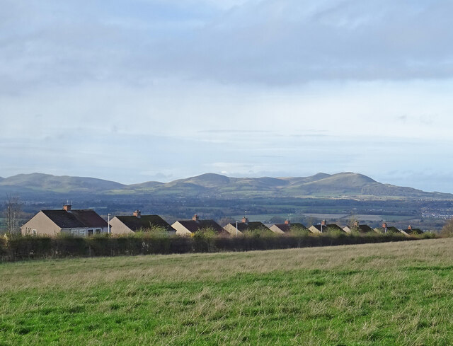
Mayfield, Midlothian
Mayfield is a community in Midlothian, Scotland, located just south of Dalkeith near Edinburgh between the A68 and the A7 south. It had an estimated population...

D'Arcy, Midlothian
D'Arcy is a hamlet in Midlothian, Scotland, located just south of Dalkeith near Edinburgh. It is ¼ mile east of Mayfield and lies within the Civil Parish...

Easthouses Lily Miners Welfare F.C.
Easthouses Lily Miners Welfare Football Club are a Scottish football club, based in the Midlothian town of Easthouses. The team currently plays in the...
National Mining Museum Scotland
The National Mining Museum Scotland was created in 1984, to preserve the physical surface remains of Lady Victoria Colliery at Newtongrange, Midlothian...
Nearby Amenities
Located within 500m of 55.860753,-3.0333418Have you been to Camp Wood?
Leave your review of Camp Wood below (or comments, questions and feedback).