Cadonbank Wood

Wood, Forest in Peeblesshire

Scotland

Cadonbank Wood

Innerleithen from Traquair A view from the Southern Upland Way to the town with Lee Pen in cloud beyond.
Innerleithen from Traquair Credit: Jim Barton

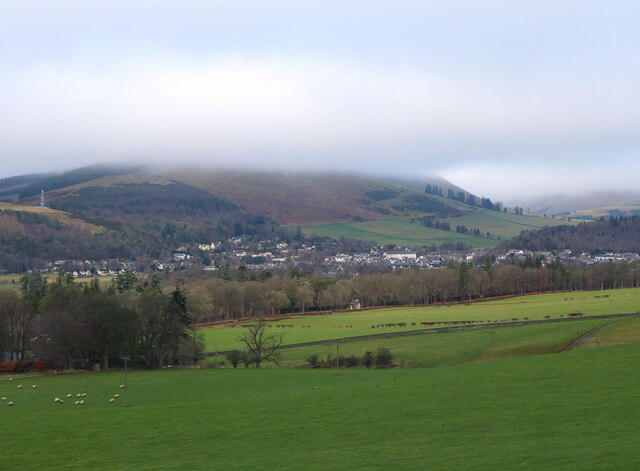
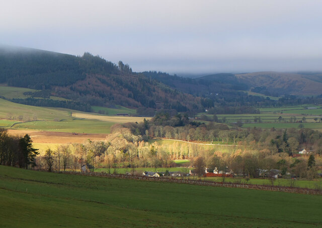
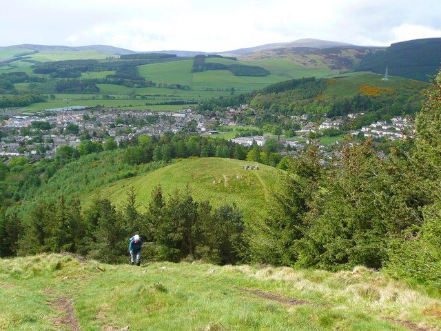
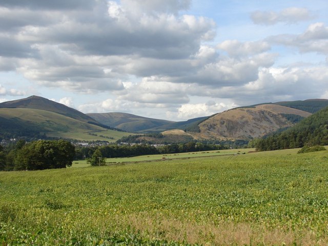
Cadonbank Wood is a picturesque woodland located in Peeblesshire, Scotland. Covering an area of approximately 50 acres, this enchanting forest is nestled in the heart of the Scottish Borders. The wood is situated on a gentle slope, offering visitors stunning panoramic views of the surrounding countryside.

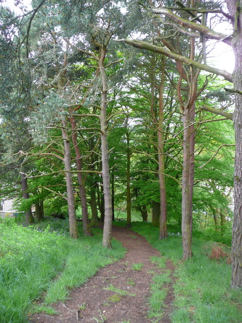
Cadonbank Wood is home to a diverse range of flora and fauna, making it a haven for nature enthusiasts. The woodland is primarily composed of broadleaf trees, including oak, beech, and birch, which create a vibrant and colorful canopy during the autumn months. The forest floor is carpeted with a variety of wildflowers and ferns, adding to its natural beauty.

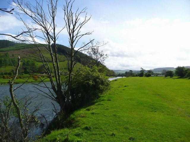
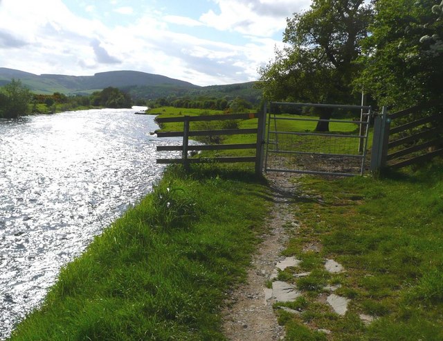
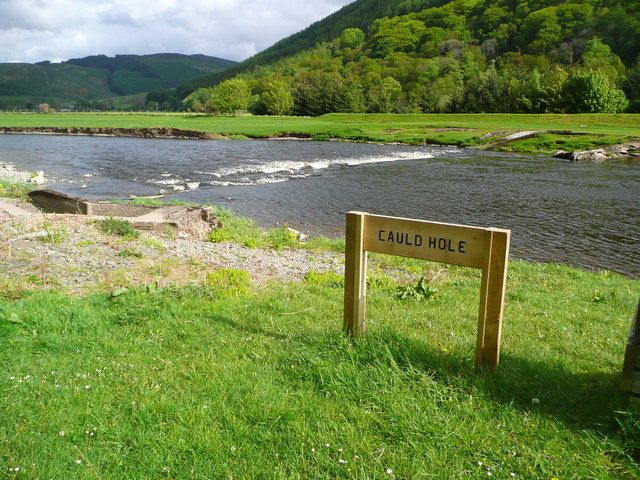
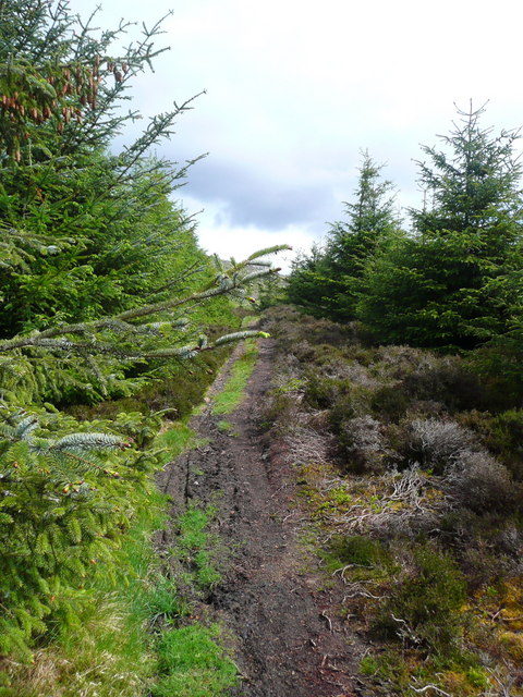
The wood is crisscrossed by a network of well-maintained footpaths, allowing visitors to explore the area at their leisure. These paths wind through the forest, leading to tranquil clearings and babbling brooks. The sound of birdsong fills the air, with species such as woodpeckers and song thrushes frequently spotted among the trees.

Cadonbank Wood is not only a haven for wildlife but also a popular destination for outdoor activities. The forest provides opportunities for walking, hiking, and birdwatching, attracting both locals and tourists alike. There are also designated picnic areas where visitors can relax and enjoy the peaceful surroundings.

Overall, Cadonbank Wood offers a serene and idyllic escape from the hustle and bustle of everyday life. Its natural beauty, varied wildlife, and recreational opportunities make it a must-visit destination for nature lovers and outdoor enthusiasts.

If you have any feedback on the listing, please let us know in the comments section below.

Cadonbank Wood Images

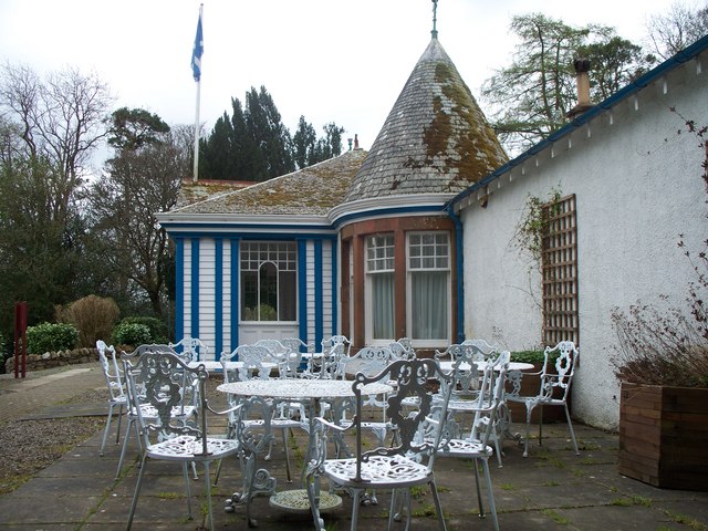
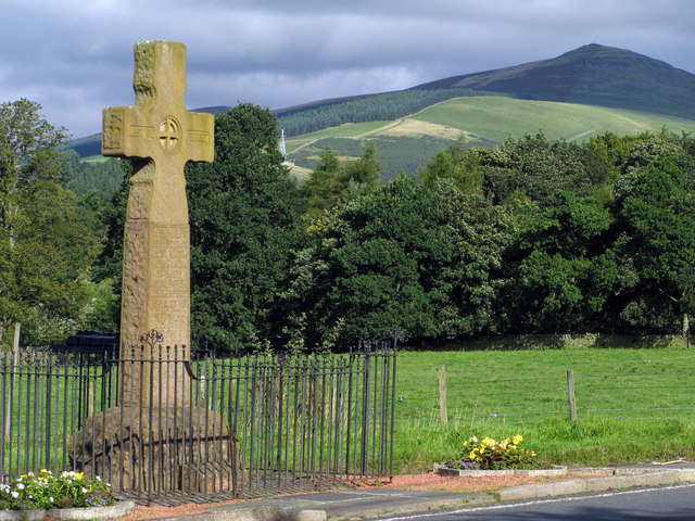
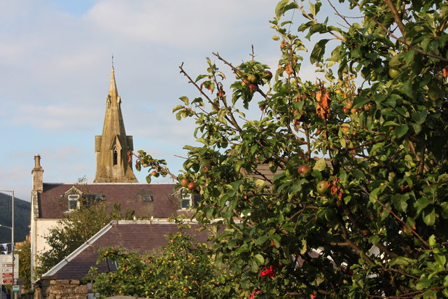
Images are sourced within 2km of 55.613824/-3.0497936 or Grid Reference NT3336. Thanks to Geograph Open Source API. All images are credited.

Innerleithen from Traquair A view from the Southern Upland Way to the town with Lee Pen in cloud beyond.
Innerleithen from Traquair
A view from the Southern Upland Way to the town with Lee Pen in cloud beyond.
Sunlight at Traquair Patchy sunlight as a low-lying cloud layer thins out above the Tweed valley.
Sunlight at Traquair
Patchy sunlight as a low-lying cloud layer thins out above the Tweed valley.
Roman Catholic Church of St James, Innerleithen
Church Hall for Roman Catholic Church of St James,
The Tweed at Innerleithen The disused railway bridge (the Haugh-head Viaduct, opened 1866 by North British Rail) in the distance.
The Tweed at Innerleithen
The disused railway bridge (the Haugh-head Viaduct, opened 1866 by North British Rail) in the distance.
Gate by the Tweed at Innerleithen
The Cauld Hole on the Tweed at Walkerburn The 'Weir Pool' above the weir where fish stop to rest before continuing on up the river.
The Cauld Hole on the Tweed at Walkerburn
The 'Weir Pool' above the weir where fish stop to rest before continuing on up the river.
Superior fishing hut on the Tweed Fishing the Tweed for salmon can be expensive, and clients expect decent facilities.  This hut provides shelter and a seat when break time comes.  Note the rod support outside between the two sets of steps.
Superior fishing hut on the Tweed
Fishing the Tweed for salmon can be expensive, and clients expect decent facilities. This hut provides shelter and a seat when break time comes. Note the rod support outside between the two sets of steps.
The path to Kirnie Law
Looking back on Pirn Hill and its viewpoint The seven stone plinths at the viewpoint above Innerleithen can be clarly seen.
Looking back on Pirn Hill and its viewpoint
The seven stone plinths at the viewpoint above Innerleithen can be clarly seen.
Path through the trees from Pirn Hill
Playing fields at Innerleithen
Coat of arms on St. Ronan's Well pavilion
St Ronans well pavilion from the rear garden
The Pavilion at St Ronan's well
War memorial at Traquair The solid looking memorial stands at a road junction; Lee Pen is the prominent hill beyond.
War memorial at Traquair
The solid looking memorial stands at a road junction; Lee Pen is the prominent hill beyond.
View towards Innerleithen Looking across from the S.U.W. pathway towards Pirn Craig, with Lee Pen on the far left.
View towards Innerleithen
Looking across from the S.U.W. pathway towards Pirn Craig, with Lee Pen on the far left.
St. James Roman Catholic Church, Innerleithen A sunny day in Innerleithen, the Church Spire makes a superb backdrop to the fruits of the tree.
St. James Roman Catholic Church, Innerleithen
A sunny day in Innerleithen, the Church Spire makes a superb backdrop to the fruits of the tree.
Show me another place!

Cadonbank Wood is located at Grid Ref: NT3336 (Lat: 55.613824, Lng: -3.0497936)

Unitary Authority: The Scottish Borders

Police Authority: The Lothians and Scottish Borders

What 3 Words

///poppy.goats.choppers. Near Innerleithen, Scottish Borders

Related Wikis

Innerleithen

Innerleithen (Scottish Gaelic: Inbhir Leitheann) is a civil parish and a small town in the committee area of Tweeddale, in the Scottish Borders. It was...

Innerleithen railway station

Innerleithen railway station served the town of Innerleithen, Scottish Borders, Scotland from 1864 to 1962 on the Peebles Railway. == History == The station...

Robert Smail's Printing Works

Robert Smail's Printing Works is a fully functional Victorian era letterpress printing works in the small Scottish Borders town of Innerleithen, now preserved...

Traquair House

Traquair House, approximately 7 miles southeast of Peebles, is claimed to be the oldest continually inhabited house in Scotland. Whilst not strictly a...

Nearby Amenities

Located within 500m of 55.613824,-3.0497936
Caddon Bank
Place: locality
Lat/Long: 55.6121076/-3.0465566
Caddonbank Wood
Place: locality
Lat/Long: 55.6141175/-3.0497833
Fixme: continue
Lat/Long: 55.6124476/-3.054024
Bench
Backrest: yes
Material: metal
Lat/Long: 55.6112546/-3.0549011
Bench
Backrest: yes
Check Date: 2022-02-23
Material: metal
Lat/Long: 55.6116288/-3.0553141
Covered: no
Leisure: picnic_table
Lat/Long: 55.6113365/-3.0563843
Covered: no
Leisure: picnic_table
Lat/Long: 55.6113683/-3.0563307
Leisure: picnic_table
Lat/Long: 55.6112486/-3.0554053
Leisure: picnic_table
Lat/Long: 55.6113077/-3.0554858
Power: pole
Lat/Long: 55.6180932/-3.0521072
Power: pole
Lat/Long: 55.6179505/-3.0527008
Material: wood
Power: pole
Lat/Long: 55.6117301/-3.0555903
Power: pole
Lat/Long: 55.6122132/-3.0565075
Power: pole
Lat/Long: 55.6126521/-3.0574021
Vending Machine
Vending: parking_tickets
Lat/Long: 55.6114043/-3.0562846
Information: board
Tourism: information
Lat/Long: 55.6116198/-3.0554002
The data included in this document is from www.openstreetmap.org. The data is made available under ODbL.

Have you been to Cadonbank Wood?

Leave your review of Cadonbank Wood below (or comments, questions and feedback).