Cadonbank Pool

Lake, Pool, Pond, Freshwater Marsh in Peeblesshire

Scotland

Cadonbank Pool

The Tweed at Innerleithen The disused railway bridge (the Haugh-head Viaduct, opened 1866 by North British Rail) in the distance.
The Tweed at Innerleithen Credit: Gordon Brown

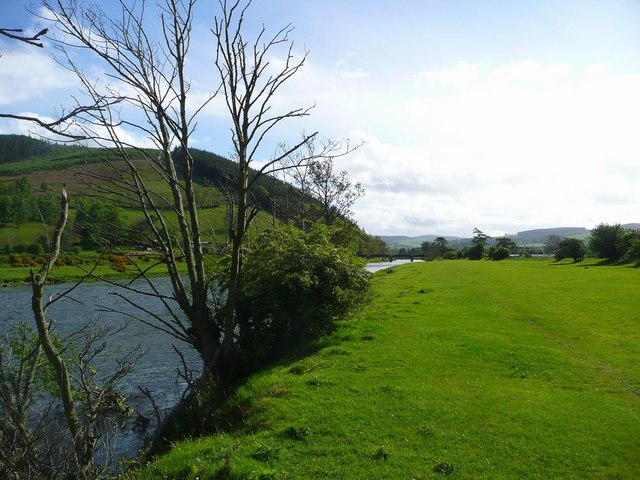
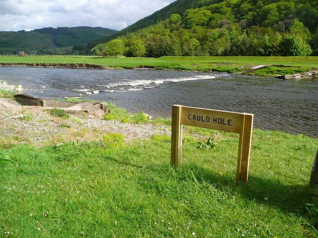
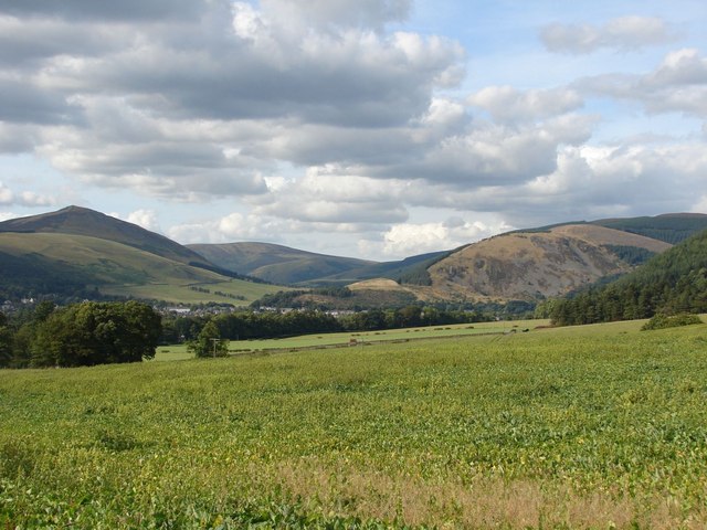
Cadonbank Pool is a picturesque freshwater marsh located in Peeblesshire, Scotland. Spanning approximately 2 acres, it is a small but significant body of water that is popular among nature enthusiasts and birdwatchers. The pool is nestled amidst rolling hills and surrounded by lush vegetation, providing a serene and tranquil environment for visitors.

The pool is characterized by its clear, calm waters, which are fed by natural springs and the occasional rainfall. Its shallow depth and gentle slopes make it an ideal habitat for a variety of aquatic plants, such as water lilies and reeds, which create a vibrant and colorful landscape.

Cadonbank Pool is also known for its diverse bird population, attracting both native and migratory species throughout the year. Birdwatchers can spot a range of water birds, including mallards, tufted ducks, and coots. The surrounding marshland also provides nesting sites for various species, such as reed warblers and sedge warblers.

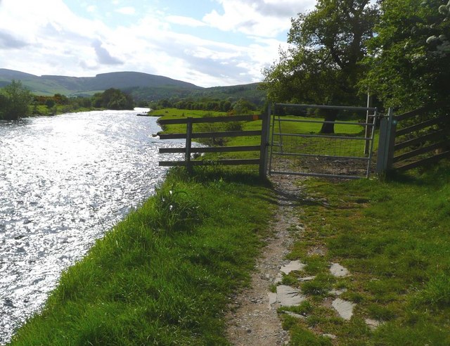
The pool offers visitors the opportunity to explore its natural beauty through walking trails and observation platforms strategically placed around its perimeter. These allow visitors to observe the abundant birdlife and take in the breathtaking views of the surrounding landscape.

Cadonbank Pool is a haven for wildlife and provides a valuable habitat for a range of species. Its unspoiled beauty and peaceful atmosphere make it a popular destination for those seeking a connection with nature in Peeblesshire.

If you have any feedback on the listing, please let us know in the comments section below.

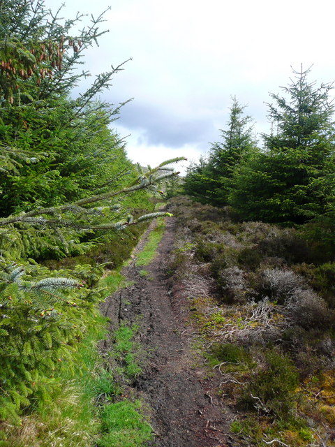
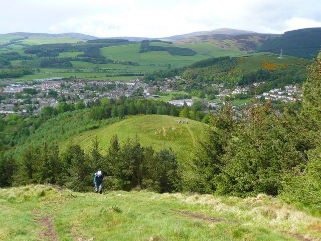
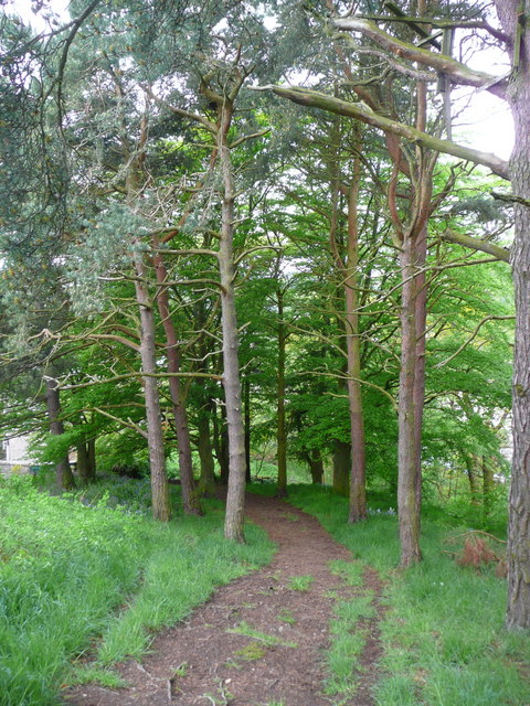
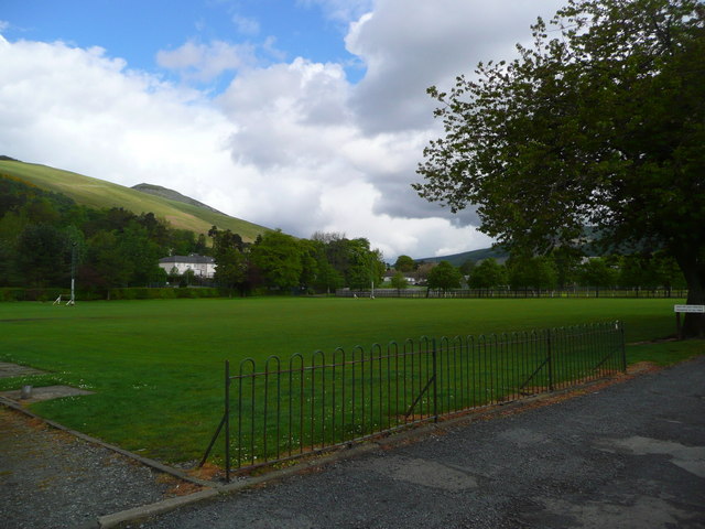
Cadonbank Pool Images

Images are sourced within 2km of 55.616335/-3.0514167 or Grid Reference NT3336. Thanks to Geograph Open Source API. All images are credited.

The Tweed at Innerleithen The disused railway bridge (the Haugh-head Viaduct, opened 1866 by North British Rail) in the distance.
The Tweed at Innerleithen
The disused railway bridge (the Haugh-head Viaduct, opened 1866 by North British Rail) in the distance.
Gate by the Tweed at Innerleithen
The Cauld Hole on the Tweed at Walkerburn The 'Weir Pool' above the weir where fish stop to rest before continuing on up the river.
The Cauld Hole on the Tweed at Walkerburn
The 'Weir Pool' above the weir where fish stop to rest before continuing on up the river.
Superior fishing hut on the Tweed Fishing the Tweed for salmon can be expensive, and clients expect decent facilities.  This hut provides shelter and a seat when break time comes.  Note the rod support outside between the two sets of steps.
Superior fishing hut on the Tweed
Fishing the Tweed for salmon can be expensive, and clients expect decent facilities. This hut provides shelter and a seat when break time comes. Note the rod support outside between the two sets of steps.
The path to Kirnie Law
Looking back on Pirn Hill and its viewpoint The seven stone plinths at the viewpoint above Innerleithen can be clarly seen.
Looking back on Pirn Hill and its viewpoint
The seven stone plinths at the viewpoint above Innerleithen can be clarly seen.
Path through the trees from Pirn Hill
Playing fields at Innerleithen
Coat of arms on St. Ronan's Well pavilion
St Ronans well pavilion from the rear garden
The Pavilion at St Ronan's well
War memorial at Traquair The solid looking memorial stands at a road junction; Lee Pen is the prominent hill beyond.
War memorial at Traquair
The solid looking memorial stands at a road junction; Lee Pen is the prominent hill beyond.
View towards Innerleithen Looking across from the S.U.W. pathway towards Pirn Craig, with Lee Pen on the far left.
View towards Innerleithen
Looking across from the S.U.W. pathway towards Pirn Craig, with Lee Pen on the far left.
St. James Roman Catholic Church, Innerleithen A sunny day in Innerleithen, the Church Spire makes a superb backdrop to the fruits of the tree.
St. James Roman Catholic Church, Innerleithen
A sunny day in Innerleithen, the Church Spire makes a superb backdrop to the fruits of the tree.
St. James Roman Catholic Church, Innerleithen A blue sky background to a dramatic subject, a very pretty church, in a lovely village by the River Tweed.
St. James Roman Catholic Church, Innerleithen
A blue sky background to a dramatic subject, a very pretty church, in a lovely village by the River Tweed.
D-Day commemorative trees, Innerleithen Trees by the car park in Hall Street. A plaque on the stone plinth reads:

Three Trees Were Planted By
The Chairman Of
Innerleithen Traquair & Glen
Community Council
On The 6th June 1994
To Commemorate The
50th Anniversary Of The D-Day
Landings In France
D-Day commemorative trees, Innerleithen
Trees by the car park in Hall Street. A plaque on the stone plinth reads: Three Trees Were Planted By The Chairman Of Innerleithen Traquair & Glen Community Council On The 6th June 1994 To Commemorate The 50th Anniversary Of The D-Day Landings In France
Remains of mill lade above Kirklands, Innerleithen Here the lade is downstream of the sites of St Ronan's Mill and Wilson's Mill, now occupied by new houses, and is about to turn left into a culvert under the road for a diversion which avoided the old Kirklands cemetery. There are two parallel channels in view with a sluice gate separating them on the left.
Remains of mill lade above Kirklands, Innerleithen
Here the lade is downstream of the sites of St Ronan's Mill and Wilson's Mill, now occupied by new houses, and is about to turn left into a culvert under the road for a diversion which avoided the old Kirklands cemetery. There are two parallel channels in view with a sluice gate separating them on the left.
Culvert exit on E side of B709 The mill lade built in 1846 here crosses under the B709 and continues parallel to the road in its diversion around the old Kirklands cemetery, beyond which it crossed back to the W side to power waterwheels in the town mills.
Culvert exit on E side of B709
The mill lade built in 1846 here crosses under the B709 and continues parallel to the road in its diversion around the old Kirklands cemetery, beyond which it crossed back to the W side to power waterwheels in the town mills.
Show me another place!

Cadonbank Pool is located at Grid Ref: NT3336 (Lat: 55.616335, Lng: -3.0514167)

Unitary Authority: The Scottish Borders

Police Authority: The Lothians and Scottish Borders

What 3 Words

///pricing.lentil.feasting. Near Innerleithen, Scottish Borders

Related Wikis

Innerleithen

Innerleithen (Scottish Gaelic: Inbhir Leitheann) is a civil parish and a small town in the committee area of Tweeddale, in the Scottish Borders. It was...

Innerleithen railway station

Innerleithen railway station served the town of Innerleithen, Scottish Borders, Scotland from 1864 to 1962 on the Peebles Railway. == History == The station...

Robert Smail's Printing Works

Robert Smail's Printing Works is a fully functional Victorian era letterpress printing works in the small Scottish Borders town of Innerleithen, now preserved...

Vale of Leithen F.C.

Vale of Leithen Football Club are a football club based in the town of Innerleithen, Scotland. They play in the East of Scotland League First Division...

Nearby Amenities

Located within 500m of 55.616335,-3.0514167
Post Box
Post Box Type: lamp
Postal Code: EH44
Ref: EH44 47
Royal Cypher: scottish_crown
Source: survey
Lat/Long: 55.6194191/-3.057074
Give Way
Direction: forward
Lat/Long: 55.6202657/-3.0549227
Caddon Court Mini Market
Addr Postcode: EH44 6LL
Addr Street: Ballantyne Street
Fhrs Id: 34301
Shop: convenience
Source Addr: FHRS Open Data
Lat/Long: 55.6199626/-3.0553049
Caddonbank Wood
Place: locality
Lat/Long: 55.6141175/-3.0497833
Fixme: continue
Lat/Long: 55.6124476/-3.054024
Studio @ Pirn Haugh
Addr City: Innerleithen
Addr Housename: Pirn Haugh
Addr Postcode: EH44 6JX
Addr Street: Princes Street
Tourism: apartment
Lat/Long: 55.6164944/-3.0563722
Power: pole
Lat/Long: 55.6164276/-3.0572557
Power: pole
Lat/Long: 55.6150465/-3.0584973
Power: pole
Lat/Long: 55.6170557/-3.0567061
Power: pole
Lat/Long: 55.6171558/-3.0562874
Power: pole
Lat/Long: 55.6157526/-3.0578658
Power: pole
Lat/Long: 55.6187475/-3.0490925
Power: pole
Lat/Long: 55.6192366/-3.0466542
Generator Method: photovoltaic
Generator Output Electricity: yes
Generator Source: solar
Generator Type: solar_photovoltaic_panel
Power: generator
Lat/Long: 55.6158816/-3.0587595
Generator Method: photovoltaic
Generator Output Electricity: yes
Generator Source: solar
Generator Type: solar_photovoltaic_panel
Power: generator
Lat/Long: 55.6158415/-3.0587107
Generator Method: photovoltaic
Generator Output Electricity: yes
Generator Source: solar
Generator Type: solar_photovoltaic_panel
Power: generator
Lat/Long: 55.6159953/-3.058046
Generator Method: photovoltaic
Generator Output Electricity: yes
Generator Source: solar
Generator Type: solar_photovoltaic_panel
Power: generator
Lat/Long: 55.6165682/-3.0562743
Generator Method: photovoltaic
Generator Output Electricity: yes
Generator Source: solar
Generator Type: solar_photovoltaic_panel
Power: generator
Lat/Long: 55.617875/-3.0562453
Generator Method: photovoltaic
Generator Output Electricity: yes
Generator Source: solar
Generator Type: solar_photovoltaic_panel
Power: generator
Lat/Long: 55.6181488/-3.0537783
Generator Method: photovoltaic
Generator Output Electricity: yes
Generator Source: solar
Generator Type: solar_photovoltaic_panel
Power: generator
Lat/Long: 55.6181752/-3.0538658
Generator Method: photovoltaic
Generator Output Electricity: yes
Generator Source: solar
Generator Type: solar_photovoltaic_panel
Power: generator
Lat/Long: 55.6187832/-3.0546552
Generator Method: photovoltaic
Generator Output Electricity: yes
Generator Source: solar
Generator Type: solar_photovoltaic_panel
Power: generator
Lat/Long: 55.6172225/-3.0575485
Power: pole
Lat/Long: 55.6184936/-3.050316
Power: pole
Lat/Long: 55.6182316/-3.0515315
Power: pole
Lat/Long: 55.6180932/-3.0521072
Power: pole
Lat/Long: 55.6179505/-3.0527008
Give Way
Direction: backward
Lat/Long: 55.6187997/-3.0543758
Give Way
Direction: backward
Lat/Long: 55.6193105/-3.0533462
Give Way
Direction: backward
Lat/Long: 55.6197001/-3.0538881
Give Way
Direction: forward
Lat/Long: 55.6197214/-3.0558882
Give Way
Direction: forward
Lat/Long: 55.6198101/-3.0562619
Telephone
Booth: K6
Covered: booth
Phone: +44 1896 830329
Lat/Long: 55.6200888/-3.0554205
Covered: no
Leisure: picnic_table
Lat/Long: 55.6187322/-3.0498284
Drinking Water
Man Made: water_tap
Lat/Long: 55.6189852/-3.0494358
The data included in this document is from www.openstreetmap.org. The data is made available under ODbL.

Have you been to Cadonbank Pool?

Leave your review of Cadonbank Pool below (or comments, questions and feedback).