Drown Pouch

Lake, Pool, Pond, Freshwater Marsh in Peeblesshire

Scotland

Drown Pouch

Innerleithen from Traquair A view from the Southern Upland Way to the town with Lee Pen in cloud beyond.
Innerleithen from Traquair Credit: Jim Barton

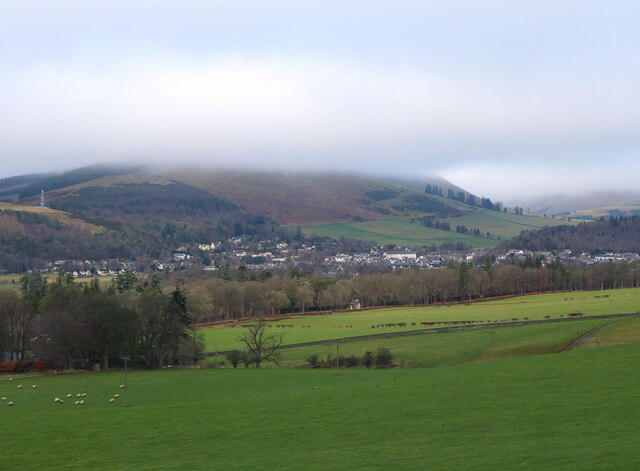
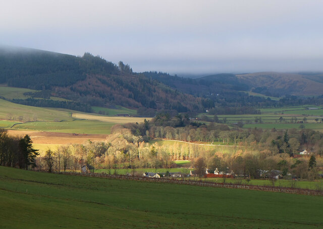
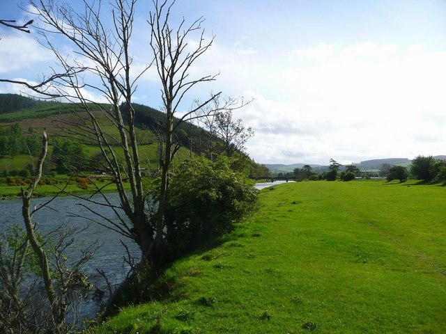
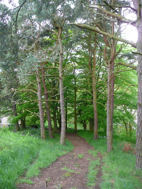
Drown Pouch is a small freshwater marsh located in Peeblesshire, Scotland. It is known for its picturesque beauty and unique ecosystem. Covering an area of approximately 10 acres, Drown Pouch is a haven for various species of plants and animals.

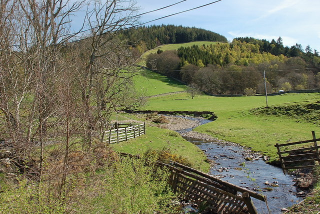
The marsh is primarily fed by natural springs and rainfall, resulting in a constant supply of fresh water. This has created a diverse habitat, attracting a wide range of aquatic and semi-aquatic plants. Visitors to Drown Pouch will find themselves surrounded by an array of colorful water lilies, reeds, and rushes, which provide shelter and food for the resident wildlife.

The marsh also serves as a vital breeding ground for several species of birds. Birdwatchers can spot a variety of waterfowl, including mallards, coots, and moorhens, as well as occasional visits from migratory birds such as swans and herons. The tranquil atmosphere and abundance of food sources make Drown Pouch an ideal place for these birds to raise their young.

In addition to its avian residents, Drown Pouch is home to several species of amphibians and insects. Frogs, toads, and dragonflies can often be found near the water's edge, while the marsh itself provides a rich feeding ground for dragonfly larvae and other small invertebrates.

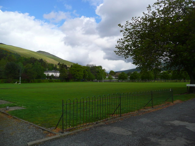
Visitors to Drown Pouch can enjoy the natural beauty of the area by taking leisurely walks along the marsh's perimeter. The peaceful surroundings and the harmonious symphony of birdsong make it a perfect spot for nature enthusiasts and those seeking a tranquil escape from the hustle and bustle of everyday life.

If you have any feedback on the listing, please let us know in the comments section below.

Drown Pouch Images

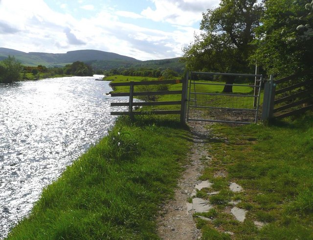
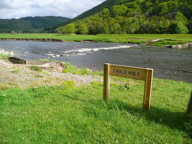
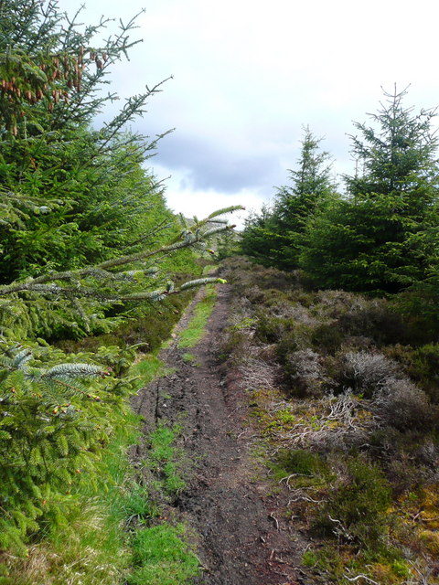
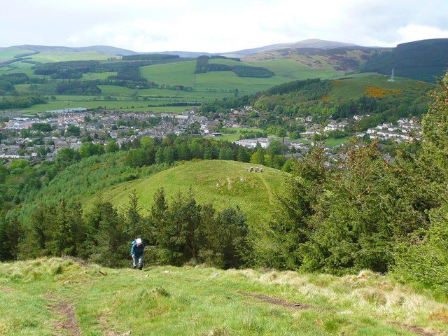
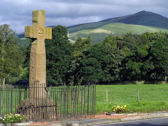
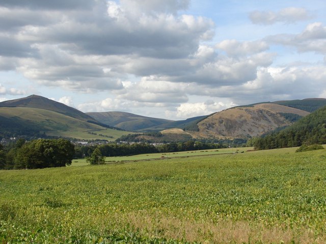
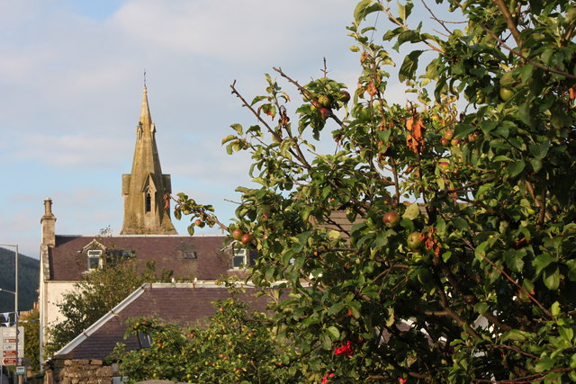
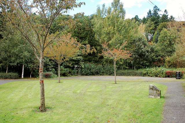
Images are sourced within 2km of 55.613896/-3.0570828 or Grid Reference NT3336. Thanks to Geograph Open Source API. All images are credited.

Innerleithen from Traquair A view from the Southern Upland Way to the town with Lee Pen in cloud beyond.
Innerleithen from Traquair
A view from the Southern Upland Way to the town with Lee Pen in cloud beyond.
Sunlight at Traquair Patchy sunlight as a low-lying cloud layer thins out above the Tweed valley.
Sunlight at Traquair
Patchy sunlight as a low-lying cloud layer thins out above the Tweed valley.
Fingland Burn Seen from the road bridge, with Shaw Hill in the background.
Fingland Burn
Seen from the road bridge, with Shaw Hill in the background.
The Tweed at Innerleithen The disused railway bridge (the Haugh-head Viaduct, opened 1866 by North British Rail) in the distance.
The Tweed at Innerleithen
The disused railway bridge (the Haugh-head Viaduct, opened 1866 by North British Rail) in the distance.
Gate by the Tweed at Innerleithen
The Cauld Hole on the Tweed at Walkerburn The 'Weir Pool' above the weir where fish stop to rest before continuing on up the river.
The Cauld Hole on the Tweed at Walkerburn
The 'Weir Pool' above the weir where fish stop to rest before continuing on up the river.
The path to Kirnie Law
Looking back on Pirn Hill and its viewpoint The seven stone plinths at the viewpoint above Innerleithen can be clarly seen.
Looking back on Pirn Hill and its viewpoint
The seven stone plinths at the viewpoint above Innerleithen can be clarly seen.
Path through the trees from Pirn Hill
Playing fields at Innerleithen
Coat of arms on St. Ronan's Well pavilion
St Ronans well pavilion from the rear garden
The Pavilion at St Ronan's well
War memorial at Traquair The solid looking memorial stands at a road junction; Lee Pen is the prominent hill beyond.
War memorial at Traquair
The solid looking memorial stands at a road junction; Lee Pen is the prominent hill beyond.
View towards Innerleithen Looking across from the S.U.W. pathway towards Pirn Craig, with Lee Pen on the far left.
View towards Innerleithen
Looking across from the S.U.W. pathway towards Pirn Craig, with Lee Pen on the far left.
St. James Roman Catholic Church, Innerleithen A sunny day in Innerleithen, the Church Spire makes a superb backdrop to the fruits of the tree.
St. James Roman Catholic Church, Innerleithen
A sunny day in Innerleithen, the Church Spire makes a superb backdrop to the fruits of the tree.
St. James Roman Catholic Church, Innerleithen A blue sky background to a dramatic subject, a very pretty church, in a lovely village by the River Tweed.
St. James Roman Catholic Church, Innerleithen
A blue sky background to a dramatic subject, a very pretty church, in a lovely village by the River Tweed.
D-Day commemorative trees, Innerleithen Trees by the car park in Hall Street. A plaque on the stone plinth reads:

Three Trees Were Planted By
The Chairman Of
Innerleithen Traquair & Glen
Community Council
On The 6th June 1994
To Commemorate The
50th Anniversary Of The D-Day
Landings In France
D-Day commemorative trees, Innerleithen
Trees by the car park in Hall Street. A plaque on the stone plinth reads: Three Trees Were Planted By The Chairman Of Innerleithen Traquair & Glen Community Council On The 6th June 1994 To Commemorate The 50th Anniversary Of The D-Day Landings In France
Show me another place!

Drown Pouch is located at Grid Ref: NT3336 (Lat: 55.613896, Lng: -3.0570828)

Unitary Authority: The Scottish Borders

Police Authority: The Lothians and Scottish Borders

What 3 Words

///motivations.heartened.mistaking. Near Innerleithen, Scottish Borders

Related Wikis

Innerleithen railway station

Innerleithen railway station served the town of Innerleithen, Scottish Borders, Scotland from 1864 to 1962 on the Peebles Railway. == History == The station...

Innerleithen

Innerleithen (Scottish Gaelic: Inbhir Leitheann) is a civil parish and a small town in the committee area of Tweeddale, in the Scottish Borders. It was...

Leithen Water

Leithen Water (Scottish Gaelic: Leitheann / Abhainn Leitheinn) is a tributary of the River Tweed in Scotland. It rises in the Moorfoot Hills and joins...

Robert Smail's Printing Works

Robert Smail's Printing Works is a fully functional Victorian era letterpress printing works in the small Scottish Borders town of Innerleithen, now preserved...

Nearby Amenities

Located within 500m of 55.613896,-3.0570828
Traffic Signals
Lat/Long: 55.6131029/-3.0597847
Traffic Signals
Lat/Long: 55.6124353/-3.0590059
Turning Circle
Lat/Long: 55.6156766/-3.0609058
Turning Circle
Lat/Long: 55.6160079/-3.0600651
Noexit: yes
Lat/Long: 55.6174717/-3.0601248
Caddonbank Wood
Place: locality
Lat/Long: 55.6141175/-3.0497833
Fixme: continue
Lat/Long: 55.6124476/-3.054024
Bench
Backrest: yes
Material: metal
Lat/Long: 55.6112546/-3.0549011
Bench
Backrest: yes
Check Date: 2022-02-23
Material: metal
Lat/Long: 55.6116288/-3.0553141
Covered: no
Leisure: picnic_table
Lat/Long: 55.6113365/-3.0563843
Covered: no
Leisure: picnic_table
Lat/Long: 55.6113683/-3.0563307
Leisure: picnic_table
Lat/Long: 55.6112486/-3.0554053
Leisure: picnic_table
Lat/Long: 55.6113077/-3.0554858
Barrier: cycle_barrier
Bicycle: yes
Cycle Barrier: double
Foot: yes
Lat/Long: 55.6155749/-3.0633812
Barrier: kissing_gate
Fixme: resurvey
Lat/Long: 55.613086/-3.0598607
Noexit: yes
Lat/Long: 55.6175758/-3.0612675
Noexit: yes
Lat/Long: 55.6172067/-3.059999
Studio @ Pirn Haugh
Addr City: Innerleithen
Addr Housename: Pirn Haugh
Addr Postcode: EH44 6JX
Addr Street: Princes Street
Tourism: apartment
Lat/Long: 55.6164944/-3.0563722
Material: wood
Power: pole
Lat/Long: 55.6138639/-3.0620324
Power: pole
Lat/Long: 55.6164276/-3.0572557
Power: pole
Lat/Long: 55.6150465/-3.0584973
Material: wood
Power: pole
Lat/Long: 55.6147132/-3.059483
Material: wood
Power: pole
Lat/Long: 55.614388/-3.0604746
Material: wood
Power: pole
Lat/Long: 55.6141318/-3.061251
Power: pole
Lat/Long: 55.6170557/-3.0567061
Power: pole
Lat/Long: 55.6171558/-3.0562874
Power: pole
Lat/Long: 55.6157526/-3.0578658
Entrance: yes
Lat/Long: 55.6159918/-3.0633267
Generator Method: photovoltaic
Generator Output Electricity: yes
Generator Source: solar
Generator Type: solar_photovoltaic_panel
Power: generator
Lat/Long: 55.6162432/-3.0594446
Generator Method: photovoltaic
Generator Output Electricity: yes
Generator Source: solar
Generator Type: solar_photovoltaic_panel
Power: generator
Lat/Long: 55.6162077/-3.059412
Generator Method: photovoltaic
Generator Output Electricity: yes
Generator Source: solar
Generator Type: solar_photovoltaic_panel
Power: generator
Lat/Long: 55.6152847/-3.061026
Generator Method: photovoltaic
Generator Output Electricity: yes
Generator Source: solar
Generator Type: solar_photovoltaic_panel
Power: generator
Lat/Long: 55.6158816/-3.0587595
Generator Method: photovoltaic
Generator Output Electricity: yes
Generator Source: solar
Generator Type: solar_photovoltaic_panel
Power: generator
Lat/Long: 55.6158415/-3.0587107
Generator Method: photovoltaic
Generator Output Electricity: yes
Generator Source: solar
Generator Type: solar_photovoltaic_panel
Power: generator
Lat/Long: 55.6159953/-3.058046
Generator Method: photovoltaic
Generator Output Electricity: yes
Generator Source: solar
Generator Type: solar_photovoltaic_panel
Power: generator
Lat/Long: 55.6165682/-3.0562743
Generator Method: photovoltaic
Generator Output Electricity: yes
Generator Source: solar
Generator Type: solar_photovoltaic_panel
Power: generator
Lat/Long: 55.6165046/-3.0626916
Generator Method: photovoltaic
Generator Output Electricity: yes
Generator Source: solar
Generator Type: solar_photovoltaic_panel
Power: generator
Lat/Long: 55.6165046/-3.0626332
Generator Method: photovoltaic
Generator Output Electricity: yes
Generator Source: solar
Generator Type: solar_photovoltaic_panel
Power: generator
Lat/Long: 55.617875/-3.0562453
Entrance: yes
Lat/Long: 55.6162283/-3.0637775
Entrance: yes
Lat/Long: 55.6161434/-3.0630772
Entrance: yes
Lat/Long: 55.6161124/-3.0632541
Addr City: Innerleithen
Addr Housenumber: 45a
Addr Street: Traquair Road
Lat/Long: 55.6158294/-3.0639442
Addr City: Innerleithen
Addr Housenumber: 45b
Addr Street: Traquair Road
Lat/Long: 55.6158378/-3.063957
Addr City: Innerleithen
Addr Housenumber: 45c
Addr Street: Traquair Road
Lat/Long: 55.6158359/-3.0639751
Entrance: yes
Lat/Long: 55.6158198/-3.0639488
Addr City: Innerleithen
Addr Housenumber: 43
Addr Street: Traquair Road
Lat/Long: 55.6158626/-3.0638724
Addr City: Innerleithen
Addr Housenumber: 41
Addr Street: Traquair Road
Lat/Long: 55.6158848/-3.0639019
Addr City: Innerleithen
Addr Housenumber: 47
Addr Street: Traquair Road
Lat/Long: 55.6157946/-3.0637742
Addr City: Innerleithen
Addr Housenumber: 49
Addr Street: Traquair Road
Lat/Long: 55.6157685/-3.0637358
Addr City: Innerleithen
Addr Housenumber: 53
Addr Street: Traquair Road
Lat/Long: 55.6157003/-3.0636364
Addr City: Innerleithen
Addr Housenumber: 51
Addr Street: Traquair Road
Lat/Long: 55.6157684/-3.0638435
Entrance: yes
Lat/Long: 55.6159031/-3.0640714
Addr City: Innerleithen
Addr Housenumber: 45d
Addr Street: Traquair Road
Lat/Long: 55.6159139/-3.0640655
Addr City: Innerleithen
Addr Housenumber: 45e
Addr Street: Traquair Road
Lat/Long: 55.6159177/-3.064094
Addr City: Innerleithen
Addr Housenumber: 39
Addr Street: Traquair Road
Lat/Long: 55.6159447/-3.0639831
Addr City: Innerleithen
Addr Housenumber: 37
Addr Street: Traquair Road
Lat/Long: 55.6159691/-3.0640202
Addr Housenumber: 17
Addr Street: James Hogg Court
Lat/Long: 55.6159832/-3.0634747
Noexit: yes
Lat/Long: 55.6175751/-3.0610121
Addr Housenumber: 42
Addr Street: Waverley Mills
Lat/Long: 55.6175487/-3.0617219
Generator Method: photovoltaic
Generator Output Electricity: yes
Generator Source: solar
Generator Type: solar_photovoltaic_panel
Power: generator
Lat/Long: 55.6172225/-3.0575485
Power: pole
Lat/Long: 55.6140114/-3.0602244
Power: pole
Lat/Long: 55.613626/-3.0593072
Power: pole
Lat/Long: 55.6131914/-3.0584578
Power: pole
Lat/Long: 55.612915/-3.0579744
Material: wood
Power: pole
Lat/Long: 55.6117301/-3.0555903
Power: pole
Lat/Long: 55.6122132/-3.0565075
Power: pole
Lat/Long: 55.6126521/-3.0574021
Noexit: yes
Lat/Long: 55.615411/-3.0613426
Generator Method: photovoltaic
Generator Output Electricity: yes
Generator Source: solar
Generator Type: solar_photovoltaic_panel
Power: generator
Lat/Long: 55.6172508/-3.0601882
Generator Method: photovoltaic
Generator Output Electricity: yes
Generator Source: solar
Generator Type: solar_photovoltaic_panel
Power: generator
Lat/Long: 55.6168942/-3.0603079
Vending Machine
Vending: parking_tickets
Lat/Long: 55.6114043/-3.0562846
Information: board
Tourism: information
Lat/Long: 55.6116198/-3.0554002
Power: pole
Lat/Long: 55.610551/-3.0554681
Power: pole
Lat/Long: 55.6099943/-3.055466
The data included in this document is from www.openstreetmap.org. The data is made available under ODbL.

Have you been to Drown Pouch?

Leave your review of Drown Pouch below (or comments, questions and feedback).