Peerie Water

Lake, Pool, Pond, Freshwater Marsh in Orkney

Scotland

Peerie Water

Wind Turbine, Burgar Hill With Loch of Swannay in the background
Wind Turbine, Burgar Hill Credit: Graeme Yuill

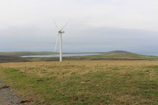
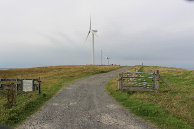
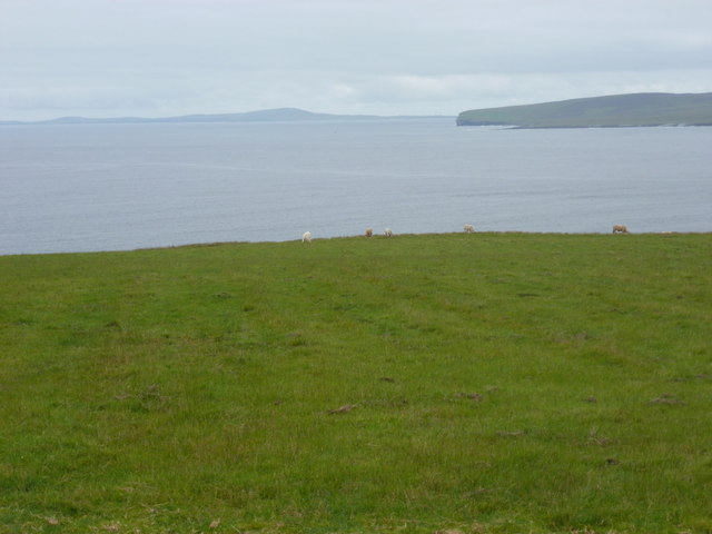
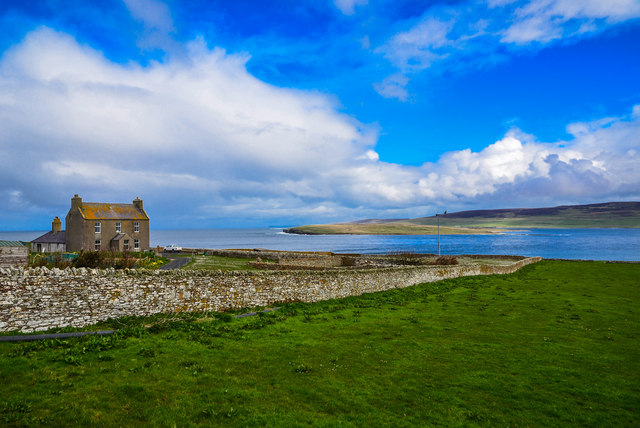
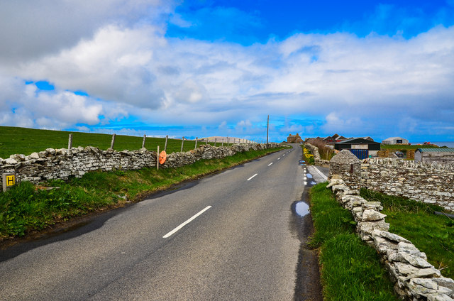
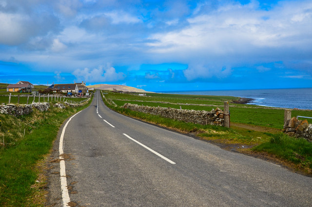
Peerie Water is a small freshwater loch located in Orkney, Scotland. The name "Peerie" is derived from the Orkney dialect word for small, reflecting the size of this body of water. The loch is surrounded by rolling green hills and provides a tranquil and picturesque setting for visitors to enjoy.

The water in Peerie Water is clear and clean, making it an ideal habitat for a variety of wildlife. It is home to a diverse range of flora and fauna, including waterfowl, fish, and aquatic plants. Birdwatchers may spot species such as ducks, geese, and swans frequenting the area.

The loch is a popular spot for fishing, with anglers often trying their luck at catching trout and other freshwater fish. It is also a peaceful location for boating, kayaking, or simply enjoying a leisurely stroll along its shores.

Overall, Peerie Water offers a peaceful escape from the hustle and bustle of daily life, providing a serene natural environment for visitors to appreciate and enjoy.

If you have any feedback on the listing, please let us know in the comments section below.

Peerie Water Images

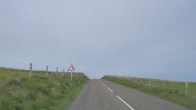
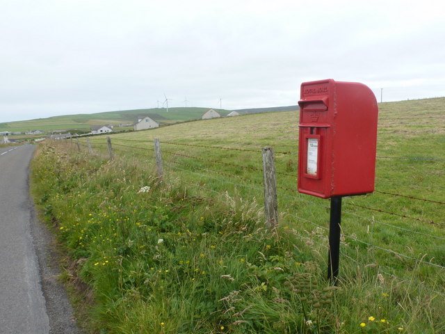
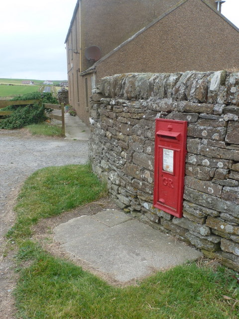
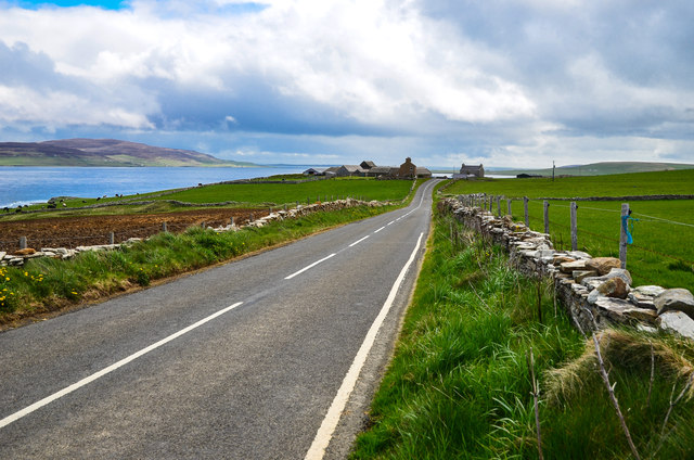
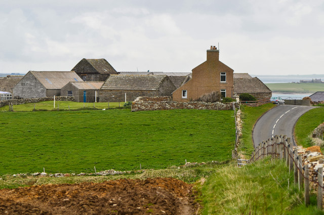
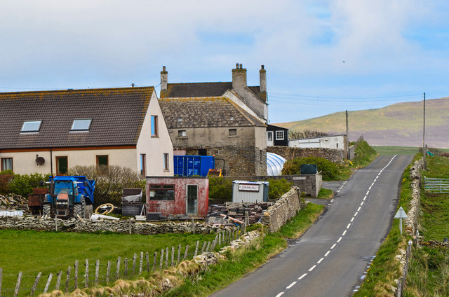
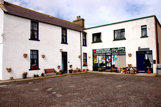
Images are sourced within 2km of 59.125964/-3.1627059 or Grid Reference HY3327. Thanks to Geograph Open Source API. All images are credited.

Wind Turbine, Burgar Hill With Loch of Swannay in the background
Wind Turbine, Burgar Hill
With Loch of Swannay in the background
Wind Turbines, Burgar Hill
Castlehill, Evie, Orkney The Ordnance Survey Name Book of 1879-80 describes Castlehill as a croft house.  At that time it had a thatched roof and was in good repair.  It was owned by a Dr Still.
Castlehill, Evie, Orkney
The Ordnance Survey Name Book of 1879-80 describes Castlehill as a croft house. At that time it had a thatched roof and was in good repair. It was owned by a Dr Still.
A966 by Burgar House, Orkney
A966 at Muckle Pow, Orkney
A966 near Upper Midhouse, Orkney
Costa: postbox № KW17 58 This postbox, serving the scattered community of Costa, is emptied at noon daily, except Sundays.
Costa: postbox № KW17 58
This postbox, serving the scattered community of Costa, is emptied at noon daily, except Sundays.
Costa: grazing cattle and Westray view Looking out across the northwestern end of Eynhallow Sound towards the western tip of the isle of Rousay. In the distance, the outline of Westray can be discerned.
Costa: grazing cattle and Westray view
Looking out across the northwestern end of Eynhallow Sound towards the western tip of the isle of Rousay. In the distance, the outline of Westray can be discerned.
Burgar: postbox № KW17 70 A George V-reign postbox set into a wall by the main road, emptied at noon daily, except Sunday.
Burgar: postbox № KW17 70
A George V-reign postbox set into a wall by the main road, emptied at noon daily, except Sunday.
View past Burgar House Looking by the dwelling towards Eynhallow.
View past Burgar House
Looking by the dwelling towards Eynhallow.
A966 by Burgar House Seen here looking in the direction of Burgar Farm on the horizon.
A966 by Burgar House
Seen here looking in the direction of Burgar Farm on the horizon.
A966 coastal road View here from Burgar House towards Finstown.
A966 coastal road
View here from Burgar House towards Finstown.
A966 Passing by Costa Primary School.
A966
Passing by Costa Primary School.
Burgar View along the A966 past the farm left of the road.
Burgar
View along the A966 past the farm left of the road.
Burgar Farm By the side of the A966.
Burgar Farm
By the side of the A966.
Costa Primary School Left of the A966 just beyond the farm buildings.
Costa Primary School
Left of the A966 just beyond the farm buildings.
Coast north of Redha View across farmland to the coast and an abandoned croft by the shore with Eynhallow Sound on the horizon.
Coast north of Redha
View across farmland to the coast and an abandoned croft by the shore with Eynhallow Sound on the horizon.
Millfield Dwelling by the A966 in Wateries.
Millfield
Dwelling by the A966 in Wateries.
Show me another place!

Peerie Water is located at Grid Ref: HY3327 (Lat: 59.125964, Lng: -3.1627059)

Unitary Authority: Orkney Islands

Police Authority: Highlands and Islands

What 3 Words

///cluttered.slightly.reassured. Near Evie, Orkney Islands

Nearby Locations

Peerie Water

Related Wikis

Evie, Orkney

Evie (pronounced ) is a parish and village on Mainland, Orkney, Scotland. The parish is located in the north-west of the Mainland, between Birsay and Rendall...

Loch of Swannay

The Loch of Swannay is the most northerly loch on the mainland of Orkney and lies within the parish of Birsay in the north west of the island. It is an...
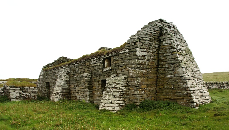
Eynhallow Church

Eynhallow Church is a ruined medieval church located on the uninhabited island of Eynhallow in Orkney, Scotland. The church dates back to the 12th-century...

Eynhallow

Eynhallow (Scots: Eynhallow; Old Norse: Eyinhelga; Norn: Øjinhellig) is a small, presently uninhabited island, part of Orkney, off the north coast of mainland...

Have you been to Peerie Water?

Leave your review of Peerie Water below (or comments, questions and feedback).