Marine Lake

Lake, Pool, Pond, Freshwater Marsh in Lancashire

England

Marine Lake

Southport railway station  Southport railway station entrance on Chapel Street. The logo of the station operator, Merseyrail, is seen on the left. There are also services operated by Northern.
Southport railway station Credit: Daniel Parks

Marine Lake is a picturesque body of water located in Lancashire, England. It is situated in the town of Southport and is a popular destination for locals and tourists alike. Though it may be referred to as a lake, it is technically a man-made body of water that functions as a tidal lagoon.

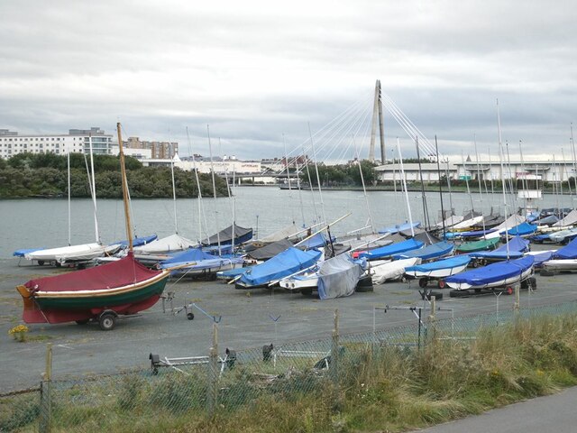
Spanning an area of approximately 6 hectares, Marine Lake offers a tranquil environment for visitors to enjoy various activities. The lake is surrounded by a promenade, providing stunning views of the water and the surrounding landscape. Boating and sailing are popular pastimes, with many people taking advantage of the lake's calm waters.

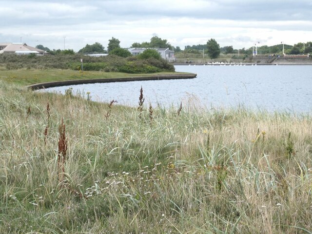
One of the lake's unique features is its ability to fill and empty with the tides of the nearby Irish Sea. During high tide, the lake is filled with seawater, creating opportunities for watersports such as windsurfing and kayaking. As the tide recedes, the lake transforms into a freshwater marsh, attracting a diverse range of bird species. Birdwatchers can spot waders, gulls, and other waterfowl in their natural habitat.

Marine Lake is also home to a variety of fish, making it a popular spot for fishing enthusiasts. Common species found in the lake include flounder, bass, and mullet. Fishing permits can be obtained from the local authorities for those interested in casting their lines.

Overall, Marine Lake offers a unique blend of recreational activities, wildlife, and natural beauty. Whether it's boating, birdwatching, or simply taking a leisurely stroll along the promenade, visitors to Marine Lake are sure to find something to enjoy in this enchanting Lancashire destination.

If you have any feedback on the listing, please let us know in the comments section below.
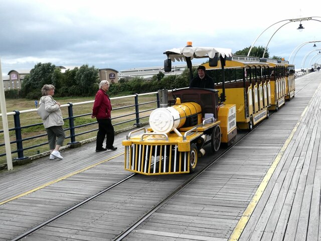
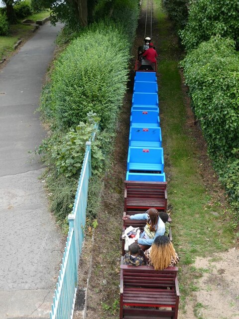
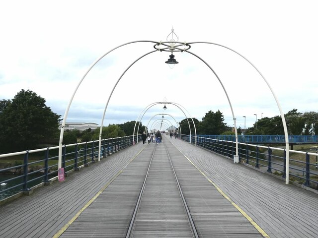
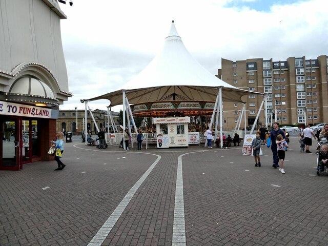
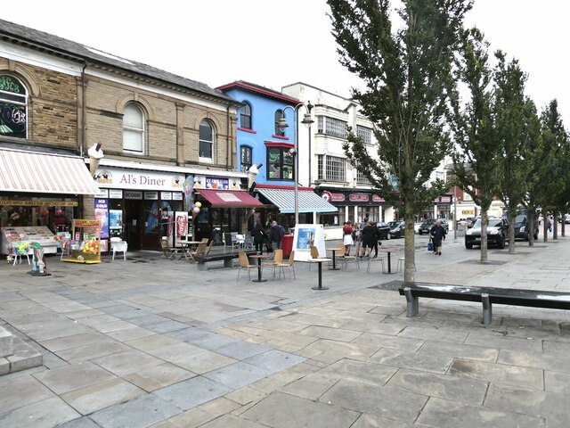
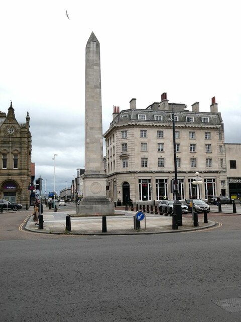
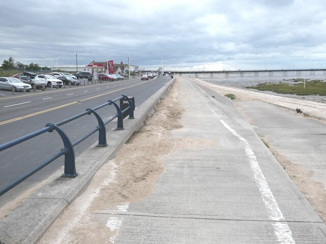
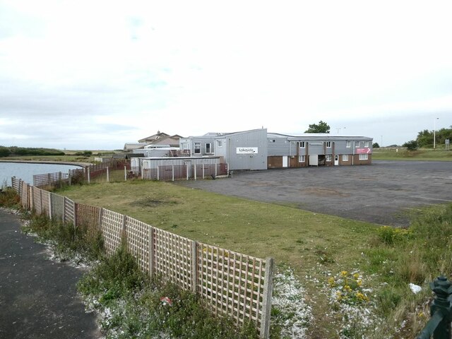
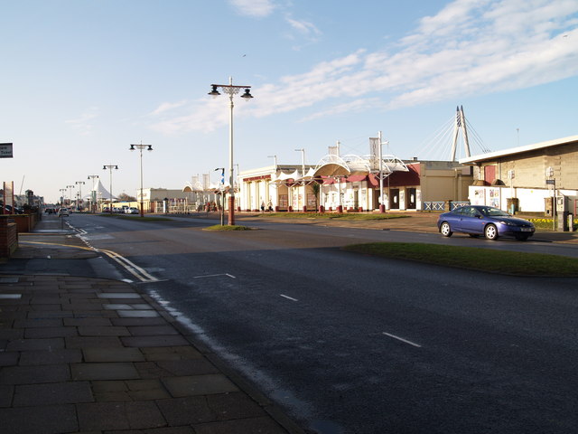
Marine Lake Images

Images are sourced within 2km of 53.654471/-3.0068601 or Grid Reference SD3318. Thanks to Geograph Open Source API. All images are credited.

Southport railway station  Southport railway station entrance on Chapel Street. The logo of the station operator, Merseyrail, is seen on the left. There are also services operated by Northern.
Southport railway station
Southport railway station entrance on Chapel Street. The logo of the station operator, Merseyrail, is seen on the left. There are also services operated by Northern.
Southport revisited - Marine Drive Formerly the Marine Drive was just a short loop running from Nevill Street to Rotten Row. The only structures between the Marine Lake and Marine Drive were the Sea Bathing Lake and Pleasureland. The beach then was true sand.

Now the Marine Drive is just the central section of a continuous coastal road running from Woodvale to Crossens. The Sea Bathing Lake has gone, to be replaced by the Ocean Plaza housing a number of entertainment and hospitality businesses. The beach is now rather silty and not very pleasant.
Southport revisited - Marine Drive
Formerly the Marine Drive was just a short loop running from Nevill Street to Rotten Row. The only structures between the Marine Lake and Marine Drive were the Sea Bathing Lake and Pleasureland. The beach then was true sand. Now the Marine Drive is just the central section of a continuous coastal road running from Woodvale to Crossens. The Sea Bathing Lake has gone, to be replaced by the Ocean Plaza housing a number of entertainment and hospitality businesses. The beach is now rather silty and not very pleasant.
Southport revisited - Beach to the north of the Pier To the north of the Pier, the beach was always as much silt as sand. Salt marsh vegetation is now starting to cover extensive areas of this end of the beach.
Southport revisited - Beach to the north of the Pier
To the north of the Pier, the beach was always as much silt as sand. Salt marsh vegetation is now starting to cover extensive areas of this end of the beach.
Southport revisited - Marine Parade The retail and entertainment businesses to the left of the road stand on land which was open beach in my young day.
Southport revisited - Marine Parade
The retail and entertainment businesses to the left of the road stand on land which was open beach in my young day.
Southport revisited - Land train on the pier In my young day and indeed right up to 2015, a tram ran along the pier. The rails are still in place, but the tram has been replaced by a land train
Southport revisited - Land train on the pier
In my young day and indeed right up to 2015, a tram ran along the pier. The rails are still in place, but the tram has been replaced by a land train
Southport revisited - Skateboard park Skateboards hadn't been invented in my young day; this park was established some time after I left the area. Here just being used by a couple of youngsters on scooters. May be it will be useful for BMX which is likely to increase in popularity after the British success in BMX at the Tokyo Olympics.
Southport revisited - Skateboard park
Skateboards hadn't been invented in my young day; this park was established some time after I left the area. Here just being used by a couple of youngsters on scooters. May be it will be useful for BMX which is likely to increase in popularity after the British success in BMX at the Tokyo Olympics.
Southport revisited - Lakeside Miniature Railway Some things never change. This miniature railway which runs from the Marine Drive to Pleasureland has been running since 1911. Not a great deal of custom on a rather bleak day. Seen from the Pier.
Southport revisited - Lakeside Miniature Railway
Some things never change. This miniature railway which runs from the Marine Drive to Pleasureland has been running since 1911. Not a great deal of custom on a rather bleak day. Seen from the Pier.
Southport revisited - The Pier Southport Pier, one of the longest in the country, has, like most piers, had a chequered history. Originally it reached out to a channel through the sands which was deep enough for pleasure steamers sail from the pier head, although that was long before my time. Some catastrophe had shortened the pier before the time in 1954 when I spent a few days on a holiday job giving out change in the amusement arcade at the truncated pier head. In those days, entrance to the pier was by turnstile and a modest charge was levied.

Access to the pier is now free and unrestricted. However, access to the further end of the pier where it crosses the beach can be closed off by gates.
Southport revisited - The Pier
Southport Pier, one of the longest in the country, has, like most piers, had a chequered history. Originally it reached out to a channel through the sands which was deep enough for pleasure steamers sail from the pier head, although that was long before my time. Some catastrophe had shortened the pier before the time in 1954 when I spent a few days on a holiday job giving out change in the amusement arcade at the truncated pier head. In those days, entrance to the pier was by turnstile and a modest charge was levied. Access to the pier is now free and unrestricted. However, access to the further end of the pier where it crosses the beach can be closed off by gates.
Southport revisited - Marine Way Bridge A cast iron bridge dating from the end of the nineteenth century formerly carried Marine Way over the Marine Lake. This was demolished in 1990 and for 14 years there was no road link between the central part of the Promenade and Marine Drive. This striking cable-stay bridge was opened in 2004 to restore the link.
Southport revisited - Marine Way Bridge
A cast iron bridge dating from the end of the nineteenth century formerly carried Marine Way over the Marine Lake. This was demolished in 1990 and for 14 years there was no road link between the central part of the Promenade and Marine Drive. This striking cable-stay bridge was opened in 2004 to restore the link.
Southport revisited - Seaside Fun At the landward end of the pier. Southport always saw itself at the posh end of the spectrum of seaside resorts - perhaps it has gone down market a bit.
Southport revisited - Seaside Fun
At the landward end of the pier. Southport always saw itself at the posh end of the spectrum of seaside resorts - perhaps it has gone down market a bit.
Southport revisited - Nevill Street Southport used to see itself at the posh end of the spectrum of seaside resorts - but Nevill Street always was a bit downmarket.
Southport revisited - Nevill Street
Southport used to see itself at the posh end of the spectrum of seaside resorts - but Nevill Street always was a bit downmarket.
Southport revisited - The Monument Back in the 1950s, there were no traffic lights at the Monument, the busy intersection of London Street with Lord Street at the very centre of town. Instead a policeman stood on a little podium directing traffic - even far into the night illuminated by floodlight. By today's standard, an incredibly wasteful use of manpower.
Southport revisited - The Monument
Back in the 1950s, there were no traffic lights at the Monument, the busy intersection of London Street with Lord Street at the very centre of town. Instead a policeman stood on a little podium directing traffic - even far into the night illuminated by floodlight. By today's standard, an incredibly wasteful use of manpower.
Southport revisited - Cycle track on Marine Drive Formerly the Marine Drive was just a short loop running from Nevill Street to Rotten Row.  Now the old Marine Drive is just the central section of a continuous coastal road running from Woodvale to Crossens. A cycle track, part of National Cycle Network route 62 follows the road throughout its length.

Long linear carparks flank the road on the landward side.
Southport revisited - Cycle track on Marine Drive
Formerly the Marine Drive was just a short loop running from Nevill Street to Rotten Row. Now the old Marine Drive is just the central section of a continuous coastal road running from Woodvale to Crossens. A cycle track, part of National Cycle Network route 62 follows the road throughout its length. Long linear carparks flank the road on the landward side.
Southport revisited - Marine Lake The Marine Lake was created on the beach at the end of the 19th century and has been a popular boating venue throughout its history. Originally the Lake was quite small - about 400 metres in length and 120 metres wide. About the turn of the century, the lake was extended under the pier to its present length but retaining its original width and that is the way I remember it from the 1950s. In this image of the northern end, the width of the  lake originally only extended from the distant Promenade to the far side of the island seen in view. 

More recently, the northern end was extended to a width of approximately 300 metres with two large islands in the middle, greatly increasing the scope for boating. A yacht club and a sailing club occupy premises on the seaward side of the Lake.
Southport revisited - Marine Lake
The Marine Lake was created on the beach at the end of the 19th century and has been a popular boating venue throughout its history. Originally the Lake was quite small - about 400 metres in length and 120 metres wide. About the turn of the century, the lake was extended under the pier to its present length but retaining its original width and that is the way I remember it from the 1950s. In this image of the northern end, the width of the lake originally only extended from the distant Promenade to the far side of the island seen in view. More recently, the northern end was extended to a width of approximately 300 metres with two large islands in the middle, greatly increasing the scope for boating. A yacht club and a sailing club occupy premises on the seaward side of the Lake.
Southport revisited - Northern end of Marine Lake The Marine Lake was created on the beach at the end of the 19th century and has been a popular boating venue throughout its history. Originally the Lake was quite small - about 400 metres in length and 120 metres wide. About the turn of the century, the lake was extended under the pier to its present length but retaining its original width. Only a low wall separated the Lake from the beach and that is the way I remember it from the 1950s. Reliance was placed on the occasional Spring High Tide to keep the Lake topped up with water. 

More recently, the northern end was extended to a width of approximately 300 metres with two large islands in the middle, greatly increasing the scope for boating. The bay in the foreground is part of that extension. A belt of sand dunes and the northern extension of the Marine Drive now separate the Marine Lake from the beach. I do not know how the Lake is kept topped up with water nowadays.
Southport revisited - Northern end of Marine Lake
The Marine Lake was created on the beach at the end of the 19th century and has been a popular boating venue throughout its history. Originally the Lake was quite small - about 400 metres in length and 120 metres wide. About the turn of the century, the lake was extended under the pier to its present length but retaining its original width. Only a low wall separated the Lake from the beach and that is the way I remember it from the 1950s. Reliance was placed on the occasional Spring High Tide to keep the Lake topped up with water. More recently, the northern end was extended to a width of approximately 300 metres with two large islands in the middle, greatly increasing the scope for boating. The bay in the foreground is part of that extension. A belt of sand dunes and the northern extension of the Marine Drive now separate the Marine Lake from the beach. I do not know how the Lake is kept topped up with water nowadays.
Southport revisited - Lord Street The jewel in Southport's crown was always the superb broad shopping street of Lord Street. It  retains some of its original elegance to this day. The pavement cafe may be by-product of the Covid pandemic of 2020-2021.
Southport revisited - Lord Street
The jewel in Southport's crown was always the superb broad shopping street of Lord Street. It retains some of its original elegance to this day. The pavement cafe may be by-product of the Covid pandemic of 2020-2021.
Southport revisited - Southport Bridge Club My father was one-time chairman of Southport Bridge Club which had its own premises on Albert Road. I think the club only occupies the ground floor, with flats on the upper floors. Never got the hang of bridge myself.
Southport revisited - Southport Bridge Club
My father was one-time chairman of Southport Bridge Club which had its own premises on Albert Road. I think the club only occupies the ground floor, with flats on the upper floors. Never got the hang of bridge myself.
Southport revisited - Lakeside Church This unlikely building at the northern end of the Marine Lake dates from 2010 and houses the Elim Pentecostal Church. It stands on reclaimed land which was just part of the beach back in the 1950s.
Southport revisited - Lakeside Church
This unlikely building at the northern end of the Marine Lake dates from 2010 and houses the Elim Pentecostal Church. It stands on reclaimed land which was just part of the beach back in the 1950s.
Show me another place!

Marine Lake is located at Grid Ref: SD3318 (Lat: 53.654471, Lng: -3.0068601)

Unitary Authority: Sefton

Police Authority: Merseyside

What 3 Words

///pays.civil.jokes. Near Southport, Merseyside

Nearby Locations

Marine Lake

Related Wikis

Southport Theatre

Southport Theatre was a theatre in Southport, England owned by Sefton Council. The theatre presented a programme of touring shows, opera and children...

Southport Airshow

Southport Air Show is an annual event held in Southport, Merseyside, England, since 1991. The first show was the brainchild of Tourism & Attractions employee...

Southport Promenade Hospital

Southport Promenade Hospital is a Grade II listed former Victorian hospital that was situated on the Promenade at the seaside resort of Southport. The...
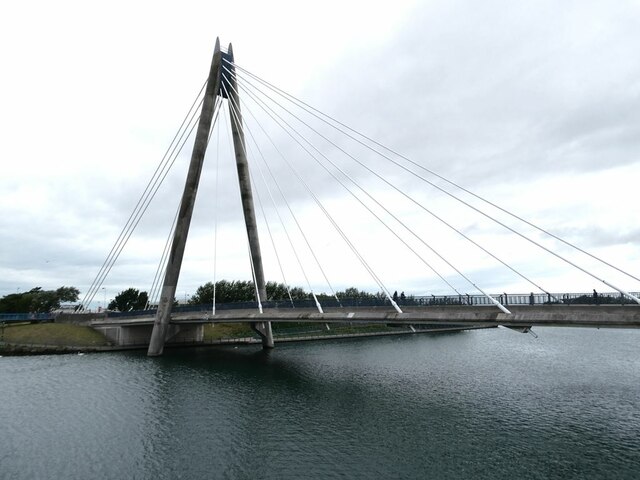
Marine Way Bridge

The Marine Way Bridge is a cable-stayed bridge in Southport, England. The bridge was designed by Babtie (now part of Jacobs) with architect Nicol Russell...

Related Videos

Southport Beach on a sunny bank holiday #travel #tourism #seaside #sun #beach #beachvibes #britain

Quick snapshot of Southport beach taken today on a hot bank holiday day. Not the best beach , but it's still a beach. FYI - the pier ...

Walking in Southport / Merseyside / England

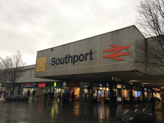
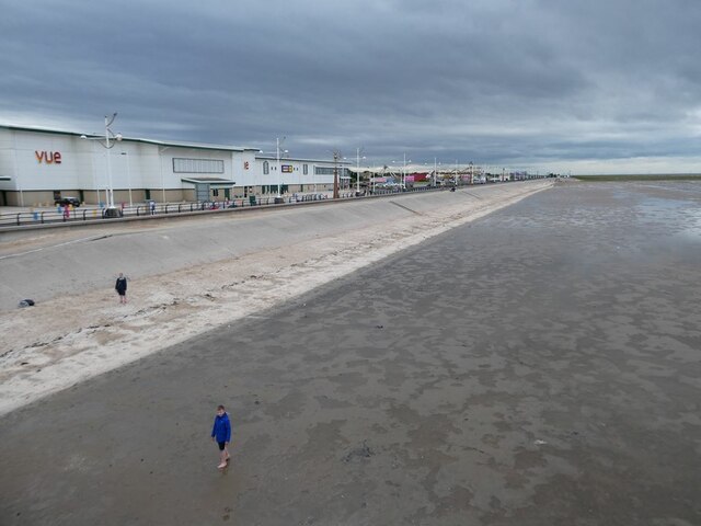
Southport is a large seaside town in Merseyside, England. At the 2001 census, it had a population of 90336, making it the ...

SOUTHPORT | Full tour of Southport [from Southport town centre to Southport pier!]

SOUTHPORT | Full tour of Southport Town centre and Southport pier!] We take a walk around the beautiful holiday seaside town ...

Southport Summer Evening Walking Tour. Is it worth a visit ????

Southport Lord Street walk showcasing the bars, restaurants and sights during a summer evening. Hey Viewers - ever wondered ...

Nearby Amenities

Located within 500m of 53.654471,-3.0068601
Source: PGS
Lat/Long: 53.6540282/-3.0140211
Mini Roundabout
Lat/Long: 53.6541296/-3.013175
Barrier: bollard
Lat/Long: 53.6506289/-3.0082552
Mini Roundabout
Direction: clockwise
Lat/Long: 53.6547547/-3.0025506
Crossing
Button Operated: yes
Crossing: traffic_signals
Crossing Island: no
Crossing Ref: pelican
Kerb: lowered
Tactile Paving: yes
Traffic Signals Sound: no
Traffic Signals Vibration: no
Lat/Long: 53.6501597/-3.0071275
Parking
Access: private
Created By: Potlatch 0.10f
Note: iirc yaught club parking is private, aslo there's a lock on the gate. Is this the place?
Lat/Long: 53.6560576/-3.0088534
Traffic Signals
Lat/Long: 53.6507703/-3.0069631
Mini Roundabout
Direction: clockwise
Lat/Long: 53.6525749/-3.0123847
Noexit: yes
Lat/Long: 53.6520709/-3.0096004
Addr Housenumber: 2
Addr Street: Victoria Street
Lat/Long: 53.6507703/-3.0045894
Addr Housenumber: 6
Addr Street: Victoria Street
Lat/Long: 53.6509738/-3.0049155
Bar
Leo's Bar
Addr City: Southport
Addr Housenumber: 46
Addr Postcode: PR9 0DE
Addr Street: Bath Street
Phone: +44 1704 539830
Lat/Long: 53.6499959/-3.0061241
Bus Stop
LEICESTER STREET/THE PROMENADE
Bus: yes
Naptan AtcoCode: 2800S60076A
Naptan Bearing: SE
Naptan CommonName: LEICESTER STREET/THE PROMENADE
Naptan Indicator: LEICESTER STREET/THE PROMENADE
Naptan Landmark: NR KWSLEY ROAD
Naptan NaptanCode: mergdmjg
Naptan Notes: No Notes
Naptan ShortCommonName: Lester St/Promenade
Naptan Street: LEICESTER STREET
Naptan Verified: no
Public Transport: platform
Source: naptan_import
Lat/Long: 53.6546911/-3.0022711
Bus Stop
LEICESTER STREET/THE PROMENADE
Bus: yes
Naptan AtcoCode: 2800S60076B
Naptan Bearing: NW
Naptan CommonName: LEICESTER STREET/THE PROMENADE
Naptan Indicator: LEICESTER STREET/THE PROMENADE
Naptan Landmark: O/S HOSPITAL
Naptan NaptanCode: mergdmjm
Naptan Notes: No Notes
Naptan ShortCommonName: Lester St/Promenade
Naptan Street: LEICESTER STREET
Naptan Verified: no
Public Transport: platform
Source: naptan_import
Lat/Long: 53.6545466/-3.0023434
Bus Stop
PROMENADE/MARINE PARADE
Bus: yes
Naptan AtcoCode: 2800S60107A
Naptan Bearing: NW
Naptan CommonName: PROMENADE/MARINE PARADE
Naptan Indicator: PROMENADE/MARINE PARADE
Naptan Landmark: O/S FLORAL HALL GARDENS
Naptan NaptanCode: mergmwpj
Naptan Notes: No Notes
Naptan ShortCommonName: Marine Parade
Naptan Street: MARINE PARADE
Naptan Verified: no
Public Transport: platform
Source: naptan_import
Lat/Long: 53.6508858/-3.0069166
Taxi
FLORAL HALL
Naptan AtcoCode: 2800TX00121
Naptan CommonName: FLORAL HALL
Naptan Indicator: FLORAL HALL
Naptan Landmark: W SIDE 23M N OF JCT WITH VICTORIA ST
Naptan Notes: No Notes
Naptan Street: THE PROMENADE
Naptan Verified: no
Source: naptan_import
Lat/Long: 53.6517693/-3.0060319
Crossing
Lat/Long: 53.6529938/-3.0123279
Crossing
Crossing: uncontrolled
Lat/Long: 53.6533964/-3.0117252
Crossing
Lat/Long: 53.6531165/-3.0125175
Restaurant
Swan Restaurant
Addr City: Southport
Addr Street: Stanley Street
Cuisine: fish_and_chips
Takeaway: yes
Lat/Long: 53.6513196/-3.0015799
Give Way
Lat/Long: 53.6533963/-3.0039042
Give Way
Lat/Long: 53.6531416/-3.0042541
Crossing
Lat/Long: 53.6529573/-3.0134932
Victoria Leisure Centre
Addr City: Southport
Addr Street: The Promenade
Leisure: fitness_centre
Wheelchair: no
Lat/Long: 53.650731/-3.0064605
Casino
Gentings Casino
Toilets Wheelchair: yes
Wheelchair: yes
Lat/Long: 53.650999/-3.007142
Southport Marine Parade
Public Transport: station
Railway: station
Usage: tourism
Lat/Long: 53.6523279/-3.0121469
Crossing
Crossing: uncontrolled
Crossing Ref: zebra
Lat/Long: 53.6553022/-3.0114242
Traffic Signals
Lat/Long: 53.6506803/-3.0069227
Crossing
Lat/Long: 53.6507874/-3.0071673
Tourism: artwork
Lat/Long: 53.6506763/-3.0074868
Crossing
Button Operated: yes
Crossing: traffic_signals
Crossing Ref: pelican
Kerb: lowered
Tactile Paving: yes
Lat/Long: 53.6508259/-3.0071286
Crossing
Button Operated: yes
Crossing: traffic_signals
Crossing Ref: pelican
Kerb: lowered
Tactile Paving: yes
Lat/Long: 53.650859/-3.0070951
Crossing
Button Operated: yes
Crossing: traffic_signals
Crossing Ref: pelican
Kerb: lowered
Tactile Paving: yes
Lat/Long: 53.6508816/-3.0067093
Tourism: artwork
Lat/Long: 53.650608/-3.0073205
Restaurant
The Waterfront
Brand: Hungry Horse
Brand Wikidata: Q5943510
Toilets: yes
Toilets Wheelchair: yes
Wheelchair: yes
Lat/Long: 53.6511962/-3.0069691
Pub
The Victoria
Addr City: Southport
Addr Street: The Promenade
Lat/Long: 53.6510562/-3.0061161
Historic: memorial
Memorial: statue
Lat/Long: 53.6501994/-3.0067572
Artwork Type: sculpture
Mapillary: 897049997526099
Survey Date: 2019-10-14
Tourism: artwork
Lat/Long: 53.6502647/-3.0084604
Waterford Hotel
Addr City: Southport
Addr Country: GB
Addr Housenumber: 37
Addr Postcode: PR9 0EX
Addr Street: Leicester Street
Tourism: guest_house
Url: http://www.waterford-hotel.co.uk/
Lat/Long: 53.654641/-3.0017227
Parking Entrance
Access: private
Parking: underground
Lat/Long: 53.6536292/-3.0030234
Artwork Type: sculpture
Mapillary: 919692475549986
Survey Date: 2019-10-14
Tourism: artwork
Lat/Long: 53.6501327/-3.0080607
Artwork Type: sculpture
Mapillary: 800140140897280
Survey Date: 2019-10-14
Tourism: artwork
Lat/Long: 53.6500755/-3.0078891
Crossing
Button Operated: yes
Crossing: traffic_signals
Crossing Ref: pelican
Kerb: lowered
Tactile Paving: yes
Lat/Long: 53.6509141/-3.0068041
Pub
The Windmill
Toilets: yes
Toilets Wheelchair: yes
Wheelchair: yes
Lat/Long: 53.6520621/-3.0025542
Southport Tiles
Addr City: Southport
Addr Street: Stanley Street
Shop: yes
Lat/Long: 53.6513718/-3.0019349
Restaurant
Bistro 21
Addr City: Southport
Addr Street: Stanley Street
Lat/Long: 53.6509024/-3.0027391
Post Box
Collection Times: Mo-Fr 16:15; Sa 11:15
Operator: Royal Mail
Post Box Design: type_b
Post Box Type: pillar
Ref: PR9 30
Royal Cypher: EIIR
Royal Cypher Wikidata: Q33102113
Lat/Long: 53.6511046/-3.0034056
Cafe
Pinders
Addr City: Southport
Addr Street: Bold Street
Lat/Long: 53.6506592/-3.0031386
Queens Court
Addr City: Southport
Addr Street: Bold Street
Shop: charity
Lat/Long: 53.6507218/-3.0032281
Honeyzz
Addr City: Southport
Addr Street: Bold Street
Shop: hairdresser
Lat/Long: 53.6507737/-3.0033175
Smakus
Addr City: Southport
Addr Street: Bold Street
Shop: convenience
Lat/Long: 53.6508122/-3.0033825
Sea View
Addr City: Southport
Addr Street: Bath Street
Tourism: guest_house
Lat/Long: 53.6504941/-3.004157
AAron Guest House
Addr City: Southport
Addr Street: Bath Street
Tourism: guest_house
Lat/Long: 53.6502917/-3.0045432
Copplehouse B&B
Addr City: Southport
Addr Street: Bath Street
Tourism: guest_house
Lat/Long: 53.6502544/-3.0046042
Restaurant
Belash
Addr City: Southport
Addr Street: Bath Street
Cuisine: indian
Lat/Long: 53.6501869/-3.004716
Cafe
The Brass Pig
Addr City: Southport
Addr Street: Bath Street
Lat/Long: 53.6500585/-3.0060221
The ambassador Townhouse
Addr City: Southport
Addr Street: Bath Street
Tourism: guest_house
Lat/Long: 53.6502744/-3.0056228
The Stamford
Addr City: Southport
Addr Street: Bath Street
Tourism: guest_house
Lat/Long: 53.6503492/-3.0054897
Sandown
Addr City: Southport
Addr Street: Bath Street
Tourism: guest_house
Lat/Long: 53.650435/-3.0053449
Andora
Addr City: Southport
Addr Street: Bath Street
Tourism: guest_house
Lat/Long: 53.6504751/-3.0052796
The New Wellfield
Addr City: Southport
Addr Street: Bath Street
Tourism: guest_house
Lat/Long: 53.6505471/-3.0051652
Restaurant
Taj Mahal
Addr City: Southport
Addr Street: Bath Street
Cuisine: italian
Lat/Long: 53.6506744/-3.0049083
Cafe
Hogey's
Addr City: Southport
Addr Street: Nevill Street
Lat/Long: 53.6502039/-3.0064564
Waste Basket
Lat/Long: 53.6501522/-3.0065848
Bench
Backrest: no
Lat/Long: 53.6501619/-3.0066235
Bench
Backrest: yes
Lat/Long: 53.650156/-3.0067189
Bench
Backrest: yes
Lat/Long: 53.6502162/-3.0069052
Waste Basket
Lat/Long: 53.6502233/-3.0069467
Waste Basket
Lat/Long: 53.6501206/-3.0066048
Ice Cream
The Sandgrounder Ice Cream Shop
Addr City: Southport
Addr Street: Nevill Street
Shop: yes
Lat/Long: 53.6502498/-3.0065422
Restaurant
The Sandgrounder
Addr City: Southport
Addr Street: Nevill Street
Lat/Long: 53.6502992/-3.0066194
Bench
Backrest: yes
Lat/Long: 53.6502529/-3.0068516
Bench
Backrest: yes
Lat/Long: 53.6501901/-3.0069508
Waste Basket
Lat/Long: 53.6502847/-3.0068597
Waste Basket
Lat/Long: 53.6504446/-3.0075195
Bench
Backrest: no
Lat/Long: 53.6504639/-3.0075521
Bench
Backrest: no
Lat/Long: 53.6505278/-3.0074992
Bench
Backrest: no
Lat/Long: 53.6505567/-3.0074667
Bench
Backrest: no
Lat/Long: 53.6505793/-3.00742
Bench
Backrest: no
Lat/Long: 53.6505078/-3.0075289
Post Box
Collection Times: Mo-Fr 09:00; Sa 07:00
Post Box Type: pillar
Ref: PR9 17D
Royal Cypher: EVIIR
Royal Cypher Wikidata: Q33102324
Lat/Long: 53.6530085/-3.0037884
Crossing
Crossing: uncontrolled
Crossing Ref: zebra
Lat/Long: 53.6537126/-3.0126999
Barrier: kerb
Kerb: lowered
Lat/Long: 53.6520623/-3.0129904
Crossing
Crossing: uncontrolled
Crossing Ref: zebra
Lat/Long: 53.653382/-3.0133167
Noexit: yes
Lat/Long: 53.6537505/-3.0135903
Crossing
Crossing: uncontrolled
Crossing Ref: zebra
Lat/Long: 53.6537927/-3.0127582
Crossing
Crossing: uncontrolled
Crossing Ref: zebra
Lat/Long: 53.6539533/-3.0132177
Noexit: yes
Lat/Long: 53.6571949/-3.0071089
West Lancashire Yacht Club
Addr City: Southport
Addr Housename: West Lancashire Yacht Club
Addr Postcode: PR8 1RY
Addr Street: Marine Drive
Club: sailing
Description: Yacht Club Home of the 24 Hour Race
Note: Website: https://WLYC.org.uk
Lat/Long: 53.6555421/-3.009455
Pier Entrance
Disused Railway: station
Layer: 1
Source Name: https://upload.wikimedia.org/wikipedia/commons/1/13/Southport_Pier_Tram.jpg
Usage: tourism
Lat/Long: 53.6506888/-3.0085275
Restaurant
Trattoria 51
Addr City: Southport
Addr Housenumber: 51
Addr Postcode: PR9 0DX
Addr Street: Promenade
Cuisine: italian
Website: https://trattoria51.com
Lat/Long: 53.6518955/-3.0051041
Crossing
Button Operated: yes
Crossing: traffic_signals
Crossing Ref: pelican
Kerb: lowered
Tactile Paving: yes
Traffic Signals Sound: yes
Lat/Long: 53.6503771/-3.0073196
Crossing
Button Operated: yes
Crossing: traffic_signals
Crossing Ref: pelican
Kerb: lowered
Tactile Paving: yes
Traffic Signals Sound: yes
Lat/Long: 53.6501134/-3.0074708
Traffic Signals
Lat/Long: 53.650242/-3.0073259
Crossing
Button Operated: yes
Crossing: traffic_signals
Crossing Ref: pelican
Kerb: lowered
Tactile Paving: yes
Traffic Signals Sound: yes
Lat/Long: 53.6503463/-3.0072163
Crossing
Button Operated: yes
Crossing: traffic_signals
Crossing Ref: pelican
Kerb: lowered
Tactile Paving: yes
Traffic Signals Sound: yes
Lat/Long: 53.6501446/-3.0075585
Traffic Signals
Lat/Long: 53.6502801/-3.0074178
Bench
Access: yes
Backrest: yes
Colour: brown
Lit: yes
Material: wood concrete
Seats: 3
Lat/Long: 53.6554849/-3.0025353
Give Way
Lat/Long: 53.6538324/-3.0125581
Give Way
Lat/Long: 53.6531581/-3.0127029
Noexit: yes
Lat/Long: 53.6542648/-3.0128795
Noexit: yes
Lat/Long: 53.6537594/-3.0135215
Give Way
Lat/Long: 53.6532559/-3.0115276
Give Way
Lat/Long: 53.6531636/-3.0113455
Give Way
Lat/Long: 53.6530746/-3.0111663
Give Way
Lat/Long: 53.6524409/-3.0114377
Give Way
Lat/Long: 53.6523649/-3.0112322
Give Way
Lat/Long: 53.6523127/-3.0110929
Give Way
Lat/Long: 53.652724/-3.010494
Give Way
Lat/Long: 53.6527845/-3.0106144
Give Way
Lat/Long: 53.6528776/-3.0107961
Give Way
Lat/Long: 53.6529717/-3.0109749
Give Way
Lat/Long: 53.6522585/-3.0108011
Give Way
Lat/Long: 53.6534753/-3.0118673
Give Way
Lat/Long: 53.6533659/-3.0116659
Give Way
Lat/Long: 53.6534181/-3.0118462
Give Way
Lat/Long: 53.6530683/-3.0123608
Give Way
Lat/Long: 53.6529937/-3.0121124
Give Way
Lat/Long: 53.6529623/-3.0119537
Give Way
Lat/Long: 53.6528972/-3.0117295
Give Way
Lat/Long: 53.6528164/-3.0115468
Give Way
Lat/Long: 53.6527117/-3.0114132
Crossing
Lat/Long: 53.6520503/-3.0130594
Barrier: kerb
Kerb: lowered
Tactile Paving: yes
Lat/Long: 53.6520366/-3.0131333
Give Way
Lat/Long: 53.6520607/-3.013075
Give Way
Lat/Long: 53.6521014/-3.0131462
Railway: switch
Lat/Long: 53.652277/-3.0120354
Railway: switch
Lat/Long: 53.6520461/-3.0114012
Give Way
Direction: backward
Lat/Long: 53.6561633/-3.0017624
Power: transformer
Lat/Long: 53.6537323/-3.0122951
The data included in this document is from www.openstreetmap.org. The data is made available under ODbL.

Have you been to Marine Lake?

Leave your review of Marine Lake below (or comments, questions and feedback).