The Nab
Lake, Pool, Pond, Freshwater Marsh in Westmorland South Lakeland
England
The Nab
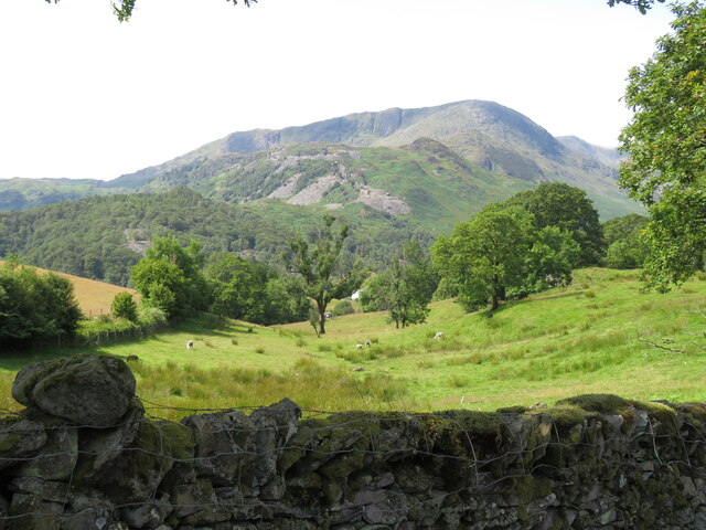
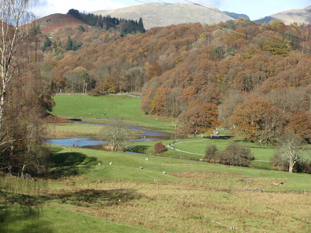
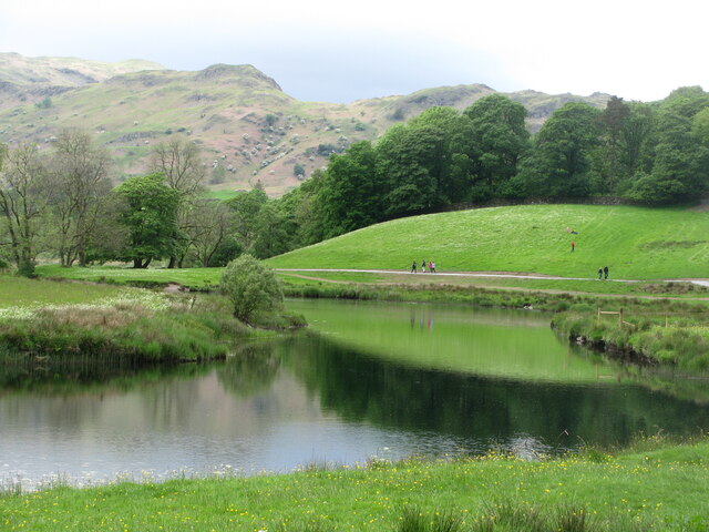
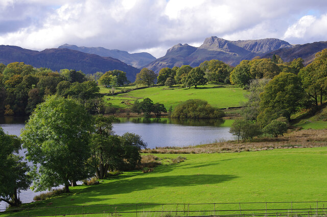
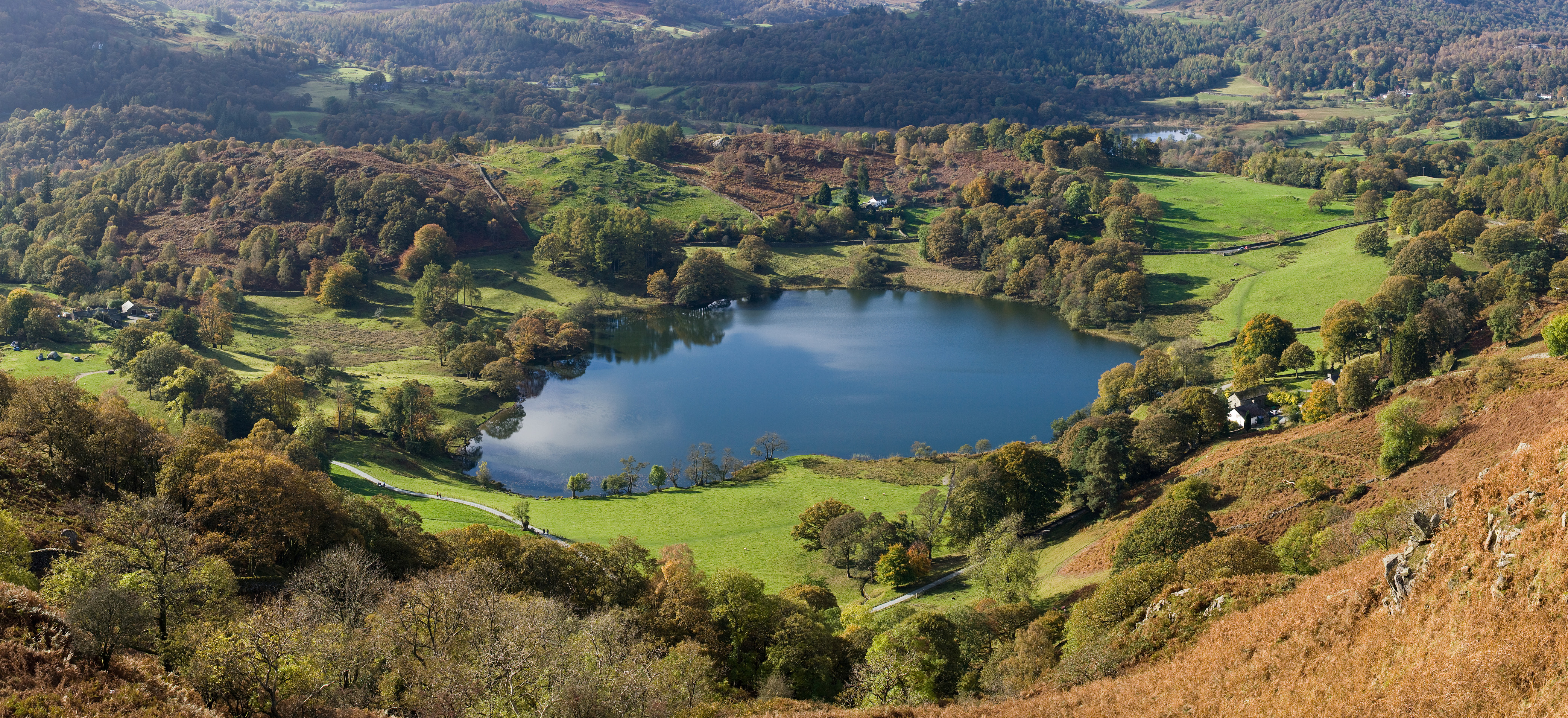
The Nab is a picturesque and idyllic nature reserve located in Westmorland, a county in the northwest of England. Spread across a vast area, The Nab encompasses a diverse range of natural features, including a lake, pool, pond, and freshwater marsh.
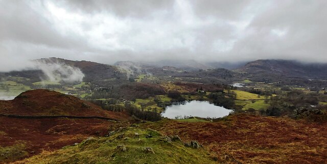
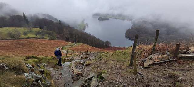
The centerpiece of this nature reserve is the serene and tranquil lake, which is surrounded by lush greenery and offers breathtaking views of the surrounding countryside. The lake is home to a variety of aquatic species, such as fish, waterfowl, and amphibians, making it a popular spot for birdwatching and fishing enthusiasts.
Adjacent to the lake is a smaller pool, which provides a habitat for a variety of water plants and creatures. This pool is an important breeding ground for many aquatic species and offers a unique opportunity for visitors to observe the delicate balance of nature up close.
Further into the reserve, visitors can explore a peaceful and serene pond, which is home to a range of aquatic plants and insects. This pond provides a natural habitat for many species, attracting a diverse array of wildlife throughout the year.
Lastly, The Nab boasts a picturesque freshwater marsh, characterized by verdant wetland vegetation and a rich biodiversity of flora and fauna. The marsh is a haven for many bird species, including herons, ducks, and swans, and provides essential breeding and feeding grounds for these creatures.
Overall, The Nab in Westmorland is a haven for nature enthusiasts, offering a unique and diverse range of natural features. Whether you are interested in birdwatching, fishing, or simply enjoying the serenity of the great outdoors, The Nab is a must-visit destination for nature lovers.
If you have any feedback on the listing, please let us know in the comments section below.
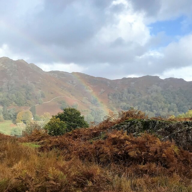
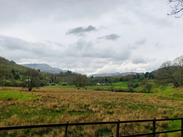
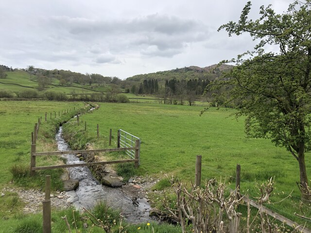
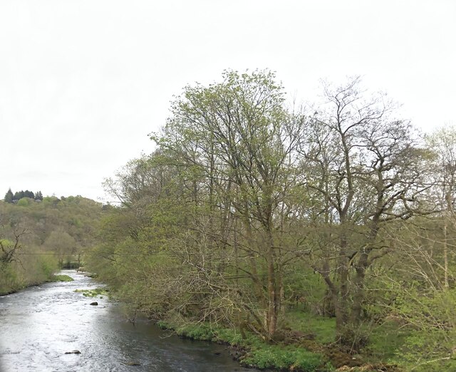
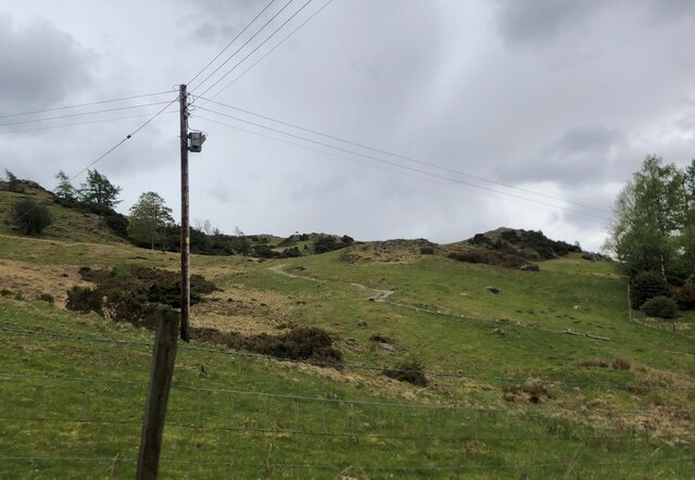
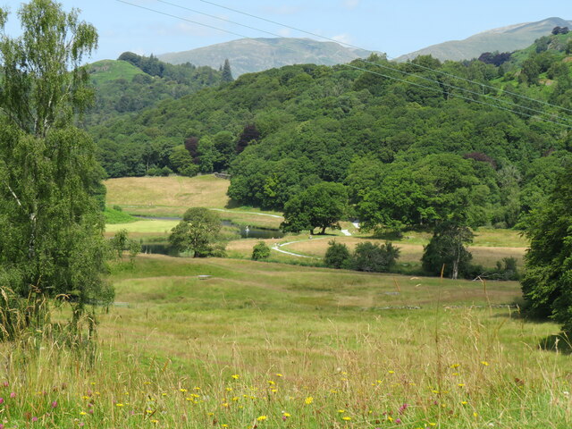
The Nab Images
Images are sourced within 2km of 54.427598/-3.0255264 or Grid Reference NY3304. Thanks to Geograph Open Source API. All images are credited.
The Nab is located at Grid Ref: NY3304 (Lat: 54.427598, Lng: -3.0255264)
Administrative County: Cumbria
District: South Lakeland
Police Authority: Cumbria
What 3 Words
///divorcing.skewing.fetch. Near Ambleside, Cumbria
Nearby Locations
Related Wikis

Elter Water
Elter Water is a small lake in the Lake District in North West England, half a mile southeast of the village of the same name. It has a length of 0.62...
Loughrigg Tarn
Loughrigg Tarn () is a small, natural lake in the Lake District, Cumbria, England. It is situated north of Windermere, just north of the village of Skelwith...

Lakes, Cumbria
Lakes is a civil parish in the Westmorland and Furness district, in the ceremonial county of Cumbria, England. In the 2001 census the parish had a population...

Elterwater Bridge
Elterwater Bridge is a Grade II listed single-arch bridge spanning Great Langdale Beck in Elterwater, Cumbria, England. The structure dates to 1702.The...
Nearby Amenities
Located within 500m of 54.427598,-3.0255264Have you been to The Nab?
Leave your review of The Nab below (or comments, questions and feedback).