Court Farm Reservoir
Lake, Pool, Pond, Freshwater Marsh in Monmouthshire
Wales
Court Farm Reservoir
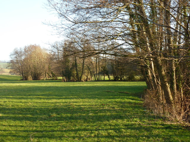
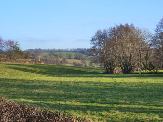
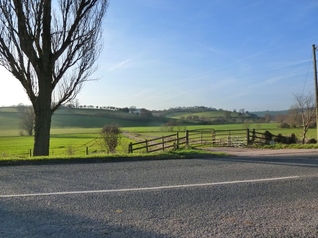
Court Farm Reservoir, located in Monmouthshire, is a picturesque freshwater body encompassed by rolling hills and verdant countryside. Spanning an area of approximately 10 acres, it serves as a popular destination for both locals and tourists seeking tranquility and natural beauty.
The reservoir boasts crystal-clear waters, teeming with a diverse range of aquatic flora and fauna. The lake, with its depth varying from shallow to moderately deep, offers an idyllic environment for a variety of water-based activities such as fishing, boating, and kayaking. Anglers are particularly drawn to the reservoir due to its abundant fish population, including species such as pike, tench, and carp.
Surrounding the lake is a lush pool, providing a haven for numerous bird species. Birdwatchers flock to Court Farm Reservoir to catch glimpses of waterfowl, such as mallards, herons, and coots, as well as migratory birds that frequent the area during certain seasons.
Adjacent to the pool is a small pond, brimming with colorful aquatic plants and inhabited by frogs, newts, and other amphibians. This serene spot offers a delightful retreat for nature enthusiasts and photographers alike, seeking to capture the beauty of these creatures in their natural habitat.
Lastly, Court Farm Reservoir is encompassed by a freshwater marsh, characterized by its marshy vegetation and wetland habitats. This marshland plays a vital role in maintaining the ecological balance of the area, providing a sanctuary for a wide array of plant and animal species.
Court Farm Reservoir, with its stunning scenery and abundant biodiversity, offers visitors a chance to immerse themselves in the wonders of nature, making it a cherished gem in Monmouthshire's landscape.
If you have any feedback on the listing, please let us know in the comments section below.
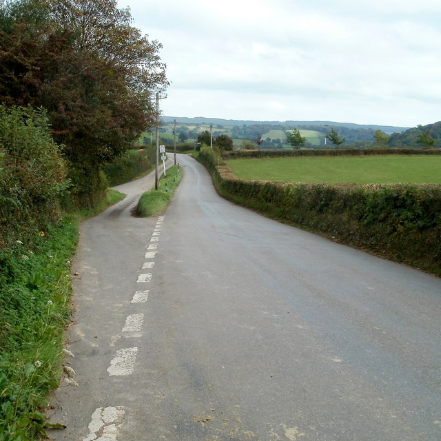
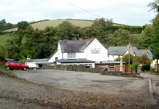
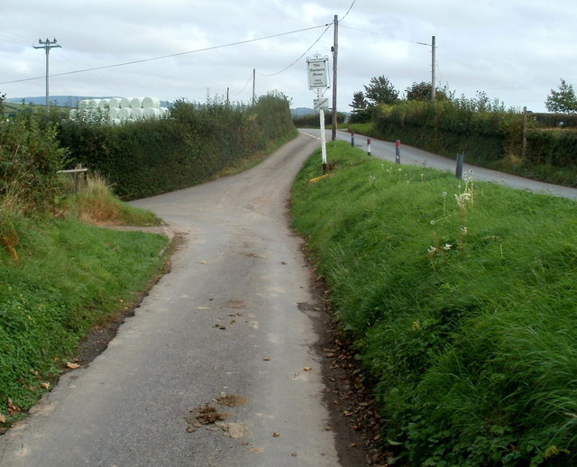
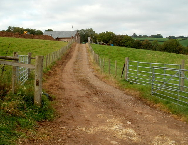
Court Farm Reservoir Images
Images are sourced within 2km of 51.638095/-2.9609797 or Grid Reference ST3393. Thanks to Geograph Open Source API. All images are credited.


Court Farm Reservoir is located at Grid Ref: ST3393 (Lat: 51.638095, Lng: -2.9609797)
Unitary Authority: Monmouthshire
Police Authority: Gwent
What 3 Words
///defeat.gather.social. Near Ponthir, Torfaen
Nearby Locations
Related Wikis

Ponthir
Ponthir (Welsh: Pont-hir) is a village and community at the south-west of the county borough of Torfaen on the boundary of the counties of Monmouthshire...

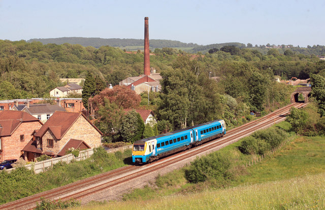
Ponthir railway station
Ponthir railway station was a railway station in the village of Ponthir in Torfaen, South Wales, UK. == History == The station was opened by the Pontypool...

Llandegveth
Llandegveth (Welsh: Llandegfedd) is a village in Monmouthshire, south east Wales. == Location == Llandegveth is located between Cwmbran, in Torfaen, and...
Llanhennock
Llanhennock (Welsh: Llanhenwg) is a village and former community, now in the community of Llangybi, in Monmouthshire, south east Wales, United Kingdom...

Afon Lwyd
The Afon Lwyd or Afon Llwyd (English: 'grey river') is a 13-mile (21 km) long river in south-east Wales which flows from its source northwest of Blaenavon...

Berllan-deg, Llanhennock
Berllan-deg, Llanhennock, Monmouthshire is a country house dating from the mid-17th century. A rare survival of a remarkably unaltered hall house, Berllan...
Llantarnam Abbey
Llantarnam Abbey is a Grade II*-listed abbey of the Sisters of St Joseph of Annecy and a former Cistercian monastery located in Llantarnam, Cwmbran in...

Caerleon
Caerleon (; Welsh: Caerllion) is a town and community in Newport, Wales. Situated on the River Usk, it lies 5 miles (8 km) northeast of Newport city centre...
Nearby Amenities
Located within 500m of 51.638095,-2.9609797Have you been to Court Farm Reservoir?
Leave your review of Court Farm Reservoir below (or comments, questions and feedback).