Eastfield Wood

Wood, Forest in Midlothian

Scotland

Eastfield Wood

Woodland, Dalkeith Park
Woodland, Dalkeith Park Credit: Richard Webb

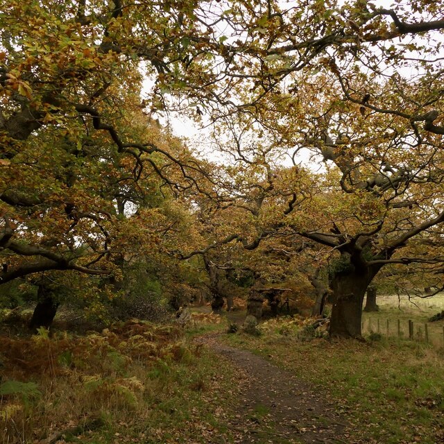
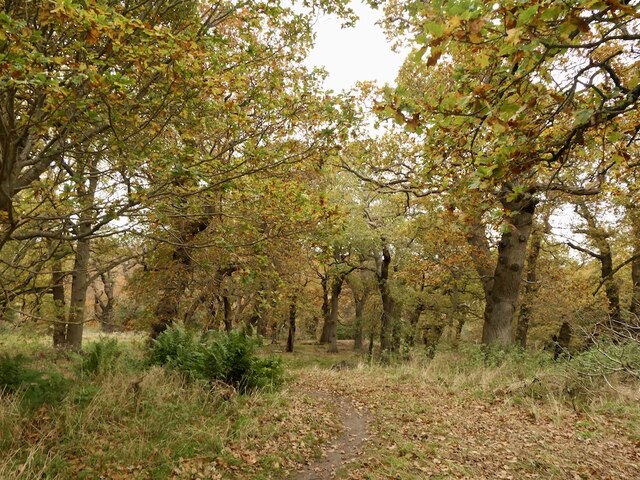
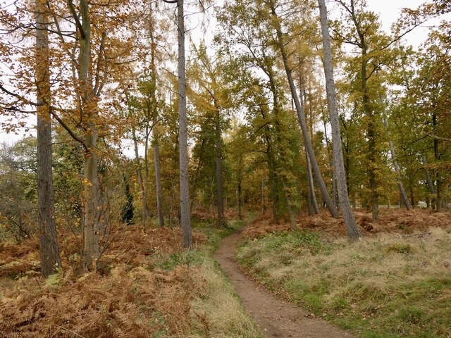
Eastfield Wood is a picturesque woodland located in Midlothian, Scotland. Covering an area of approximately 150 acres, it is a thriving natural habitat that attracts nature lovers and outdoor enthusiasts alike. The wood is situated near the village of Eastfield, offering a peaceful and serene environment for visitors to explore.

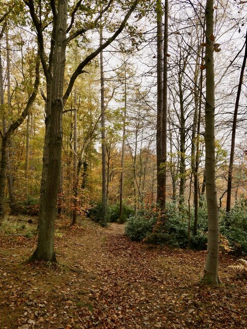
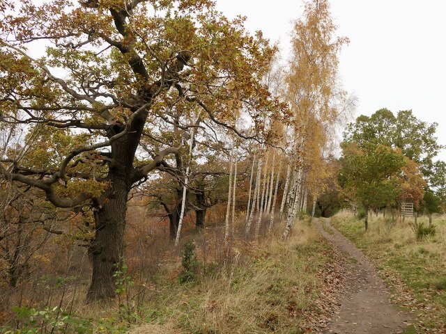
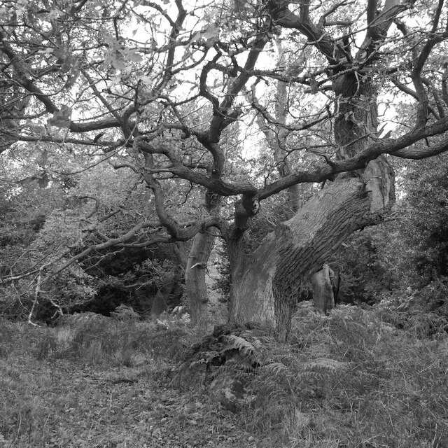
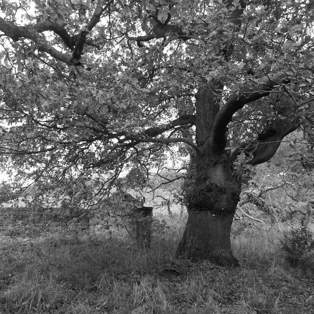
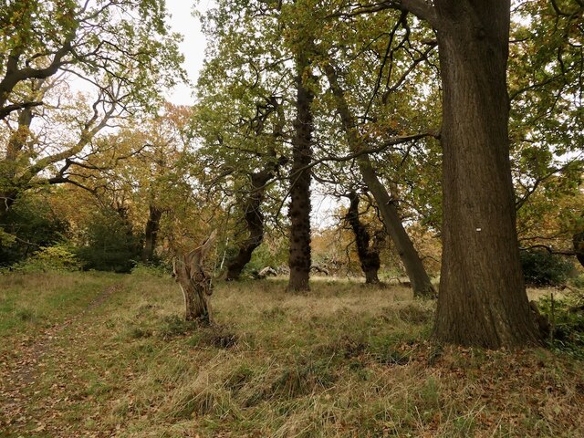
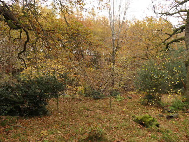
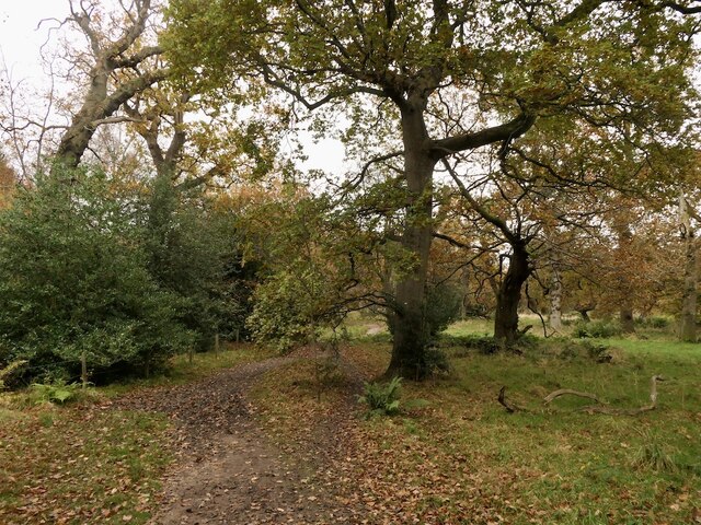
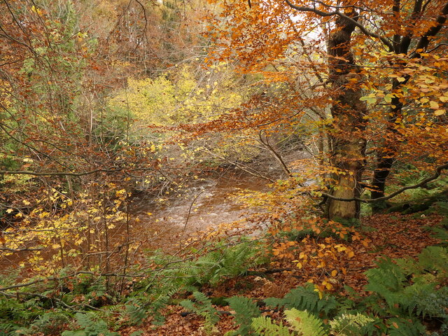
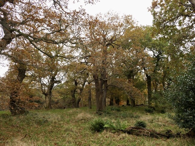
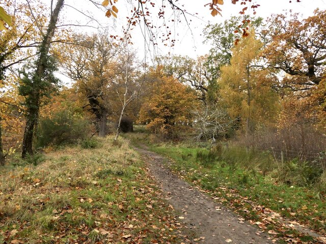
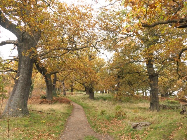
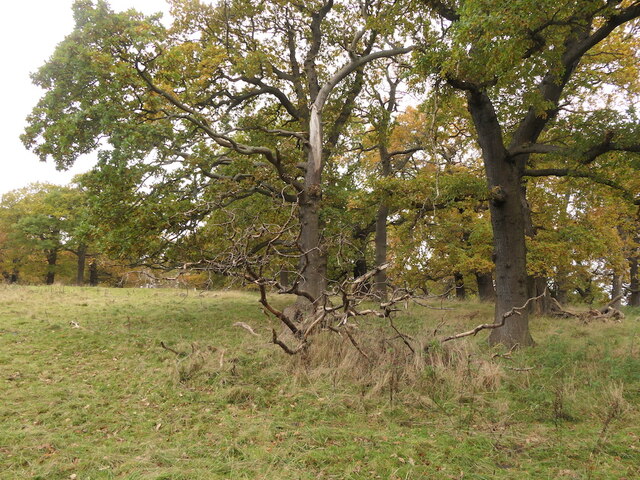
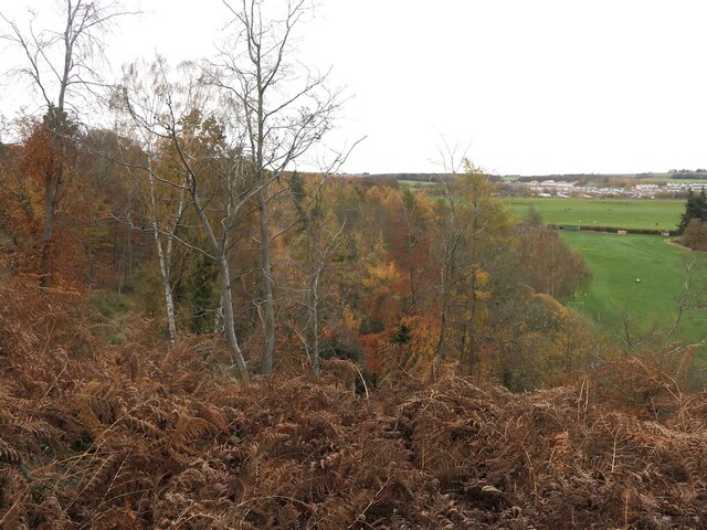
The wood is primarily composed of native broadleaf trees, including oak, ash, and birch, creating a diverse and vibrant ecosystem. These trees provide a habitat for a wide range of wildlife, including various bird species, squirrels, and deer. The wood is also home to a variety of plant life, including bluebells, wild garlic, and ferns, which add to its natural beauty.

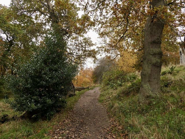
Eastfield Wood features well-maintained walking trails that wind through its enchanting landscape. These paths offer visitors the opportunity to immerse themselves in the tranquility of the wood while enjoying a leisurely stroll or a more adventurous hike. The wood is also popular for birdwatching, with numerous bird hides strategically placed throughout the area.

In addition to its natural beauty, Eastfield Wood has historical significance. It is believed to have been part of the ancient hunting grounds of the Scottish monarchy, and remnants of a medieval hunting lodge can still be found within the wood.

Overall, Eastfield Wood is a stunning and diverse woodland that provides a haven for both wildlife and visitors alike. Its peaceful atmosphere and natural beauty make it a popular destination for those seeking to connect with nature and explore the rich history of the area.

If you have any feedback on the listing, please let us know in the comments section below.

Eastfield Wood Images

Images are sourced within 2km of 55.922551/-3.0581094 or Grid Reference NT3370. Thanks to Geograph Open Source API. All images are credited.

Woodland, Dalkeith Park
Path, Dalkeith Park Between the North Esk and a field of Simmental cattle.
Path, Dalkeith Park
Between the North Esk and a field of Simmental cattle.
Old oak, Dalkeith Park
Oak and ruin, Dalkeith Park
Oaks, Dalkeith Park
Oaks, Dalkeith Park
Oaks, Dalkeith Park Above the Meeting of the Waters
Oaks, Dalkeith Park
Above the Meeting of the Waters
Oaks, Dalkeith Park
Oaks, Dalkeith Park
Looking across the South Esk, Dalkeith Park
Oaks, Dalkeith Park
Oaks, Dalkeith Park
River South Esk, Dalkeith Park
Beside the South Esk, Dalkeith Park The path is climbing above a very steep slope dropping to the river.
Beside the South Esk, Dalkeith Park
The path is climbing above a very steep slope dropping to the river.
Oaks, Dalkeith Park
Oaks, Dalkeith Park
Path, Dalkeith Park
Path, Dalkeith Park
Oaks, Dalkeith Park
Oaks, Dalkeith Park
Oaks, Dalkeith Park
Oaks, Dalkeith Park
Steep woodland above the South Esk Above the Cat Haugh meander. There have been landslips here on the outside of the river bend.
Steep woodland above the South Esk
Above the Cat Haugh meander. There have been landslips here on the outside of the river bend.
Woodland, Dalkeith Park
New junction, Millerhill Land beyond has yet to be developed but the road junction is ready. The unused road is blocked off turning what will become a roundabout into a right angle bend.
New junction, Millerhill
Land beyond has yet to be developed but the road junction is ready. The unused road is blocked off turning what will become a roundabout into a right angle bend.
Show me another place!

Eastfield Wood is located at Grid Ref: NT3370 (Lat: 55.922551, Lng: -3.0581094)

Unitary Authority: East Lothian

Police Authority: The Lothians and Scottish Borders

What 3 Words

///lease.poppy.scales. Near Whitecraig, East Lothian

Related Wikis

Smeaton House

Smeaton House, also known as Smeaton Castle, and now as Dalkeith Home Farm, is a courtyard castle dating from the fifteenth century, about 2 miles (3...

Queen Margaret University

Queen Margaret University (Scottish Gaelic: Oilthigh Bànrigh Mairead) is a university founded in 1875 and located in Musselburgh, East Lothian. It is named...

Inveresk railway station

Inveresk railway station served the village of Inveresk, Midlothian (now East Lothian), Scotland from 1846 to 1964 on the East Coast Main Line. == History... ==

Whitecraig

Whitecraig is a village in East Lothian, Scotland. It lies between Musselburgh and Dalkeith, to the east of the city of Edinburgh. == References == �...

Nearby Amenities

Located within 500m of 55.922551,-3.0581094
Traffic Signals
Traffic Signals: signal
Traffic Signals Direction: forward
Lat/Long: 55.9241379/-3.0604447
Traffic Signals
Traffic Signals: signal
Traffic Signals Direction: forward
Lat/Long: 55.9251255/-3.0604497
Motorway Junction
Old Craighall Junction
Lat/Long: 55.9243954/-3.0520449
Traffic Signals
Traffic Signals: signal
Traffic Signals Direction: forward
Lat/Long: 55.9240971/-3.0606151
Traffic Signals
Traffic Signals: signal
Traffic Signals Direction: forward
Lat/Long: 55.9252622/-3.0593158
Traffic Signals
Traffic Signals: signal
Traffic Signals Direction: forward
Lat/Long: 55.9253398/-3.0592006
Traffic Signals
Traffic Signals: signal
Traffic Signals Direction: forward
Lat/Long: 55.9242163/-3.0590982
Power: pole
Lat/Long: 55.9188263/-3.0559413
Material: wood
Power: pole
Lat/Long: 55.9193129/-3.0567781
Material: wood
Power: pole
Lat/Long: 55.9198711/-3.0578104
Material: wood
Power: pole
Lat/Long: 55.9203927/-3.0587377
Material: wood
Power: pole
Lat/Long: 55.9209959/-3.0597888
Material: wood
Power: pole
Lat/Long: 55.9215356/-3.060803
Power: pole
Lat/Long: 55.9219146/-3.0655502
Material: wood
Power: pole
Lat/Long: 55.9219586/-3.0617212
Power: pole
Lat/Long: 55.9221183/-3.0656505
Material: wood
Power: pole
Lat/Long: 55.9223762/-3.0626663
Power: pole
Lat/Long: 55.9226358/-3.065157
Power: pole
Lat/Long: 55.9227067/-3.0653201
Material: wood
Power: pole
Lat/Long: 55.9227944/-3.0635786
Power: pole
Lat/Long: 55.9232424/-3.0645847
Power: pole
Lat/Long: 55.9233296/-3.0647587
Power: pole
Lat/Long: 55.9233855/-3.0649564
Power: pole
Lat/Long: 55.9239121/-3.0642179
Power: pole
Lat/Long: 55.9239883/-3.0644104
Power: pole
Lat/Long: 55.9240414/-3.0646106
Power: pole
Lat/Long: 55.9245473/-3.0638802
Power: pole
Lat/Long: 55.9246191/-3.0640749
Power: pole
Lat/Long: 55.9246484/-3.0642725
Power: pole
Lat/Long: 55.9250869/-3.0635921
Power: pole
Lat/Long: 55.9251543/-3.0637726
Power: pole
Lat/Long: 55.9252138/-3.0639626
Addr City: Edinburgh
Addr Housenumber: 2
Addr Street: Old Craighall Road
Lat/Long: 55.9234144/-3.0659827
Addr City: Edinburgh
Addr Housenumber: 33
Addr Street: Old Craighall Road
Lat/Long: 55.9244644/-3.0653783
Addr City: Edinburgh
Addr Housenumber: 7
Addr Street: Queen Margaret University Way
Lat/Long: 55.9224246/-3.0659679
Addr City: Edinburgh
Addr Housenumber: 8
Addr Street: Queen Margaret University Way
Lat/Long: 55.9224812/-3.0660969
Traffic Signals
Traffic Signals: signal
Traffic Signals Direction: forward
Lat/Long: 55.9241137/-3.0590133
Old Craighall
Place: locality
Lat/Long: 55.9261758/-3.0614195
Golf: pin
Lat/Long: 55.9249871/-3.0533382
Traffic Signals
Traffic Signals: signal
Traffic Signals Direction: forward
Lat/Long: 55.9251979/-3.060513
The data included in this document is from www.openstreetmap.org. The data is made available under ODbL.

Have you been to Eastfield Wood?

Leave your review of Eastfield Wood below (or comments, questions and feedback).