Caunsall
Settlement in Worcestershire Wyre Forest
England
Caunsall
Caunsall is a small village located in the county of Worcestershire, England. Situated approximately 10 miles south-west of the town of Kidderminster, Caunsall is nestled in a rural area known for its picturesque countryside and tranquil surroundings.
The village itself is characterized by its traditional English charm, with a scattering of quaint cottages and farmhouses dotted throughout the area. The local community is tight-knit and friendly, creating a warm and welcoming atmosphere for both residents and visitors alike.
One of the notable landmarks in Caunsall is the St. Mary's Church, a beautiful medieval building that dates back to the 12th century. The church features stunning architectural details and is known for its historical significance in the region.
Caunsall is also home to a small primary school, providing education for the local children. The village lacks its own amenities, such as shops or pubs, but residents have easy access to nearby towns for their daily needs.
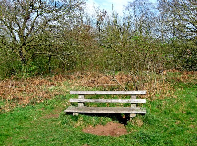
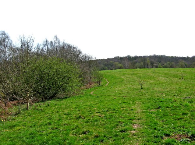
Nature enthusiasts will find plenty to explore in the surrounding area. The village is surrounded by sprawling fields, woodlands, and gentle rolling hills, offering opportunities for scenic walks and outdoor activities. The nearby River Stour also provides a serene setting for leisurely strolls and picnics.
Overall, Caunsall, Worcestershire is a charming rural village with a rich history and natural beauty, making it an idyllic place for those seeking a peaceful and close-knit community in the heart of the English countryside.
If you have any feedback on the listing, please let us know in the comments section below.
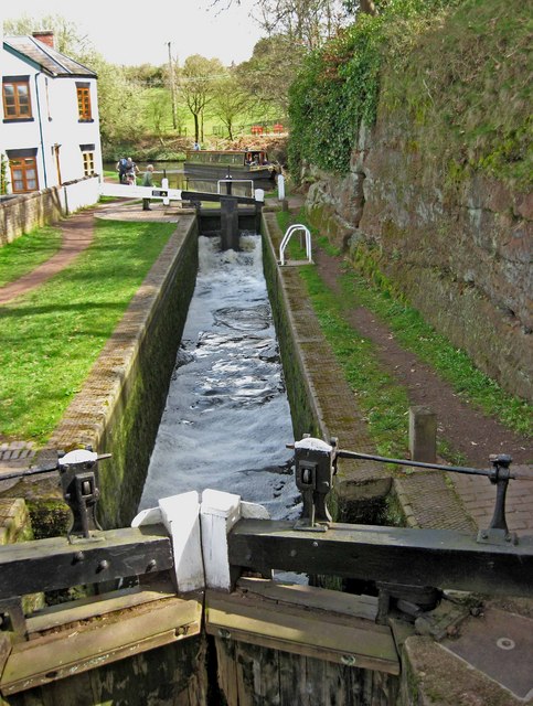
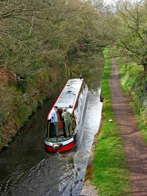
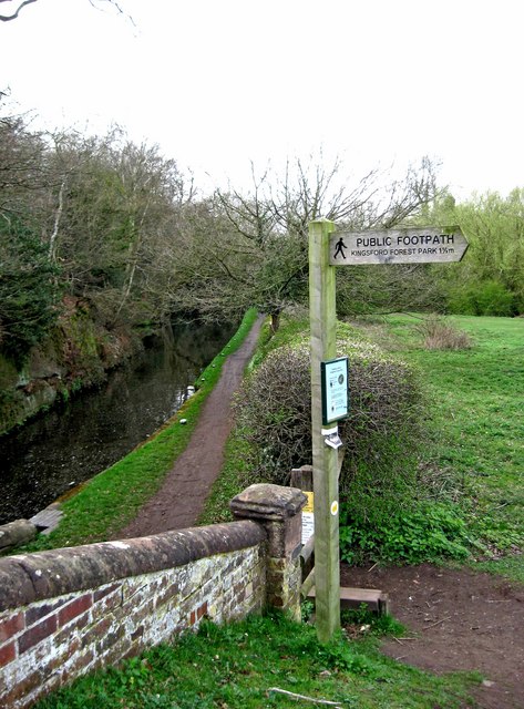
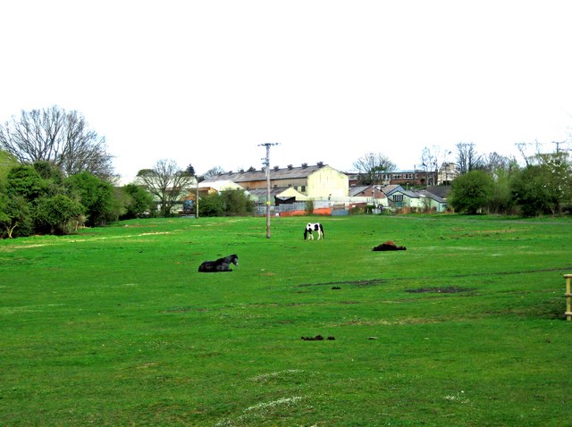
Caunsall Images
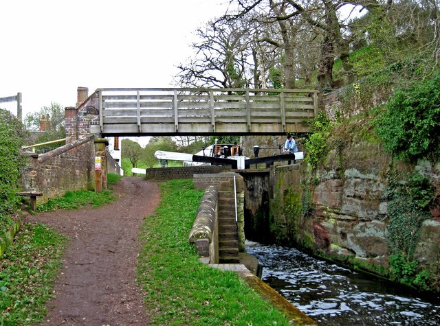
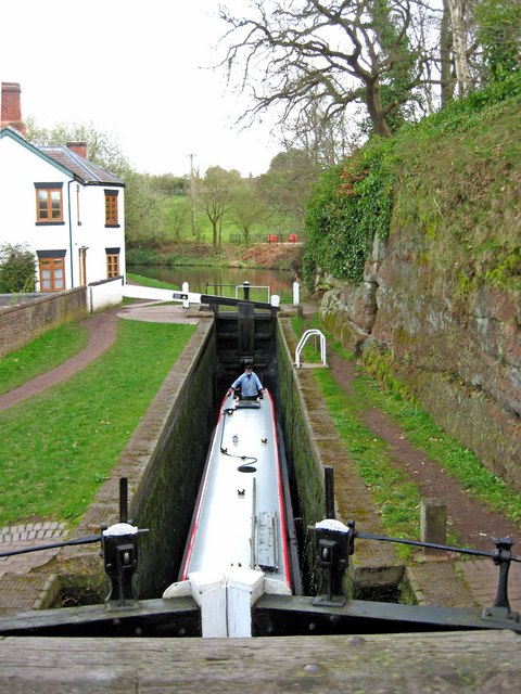
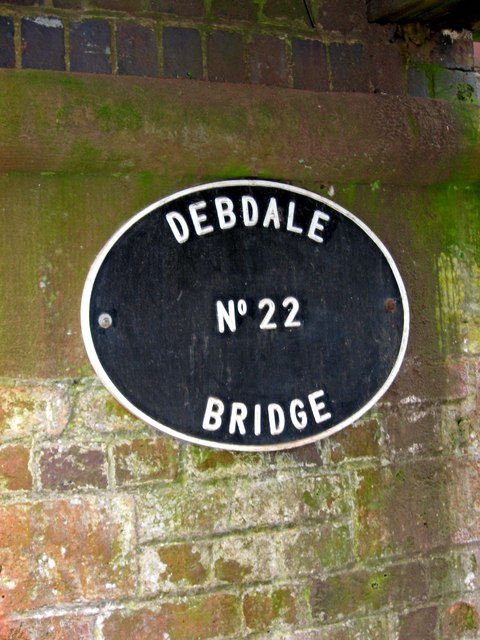
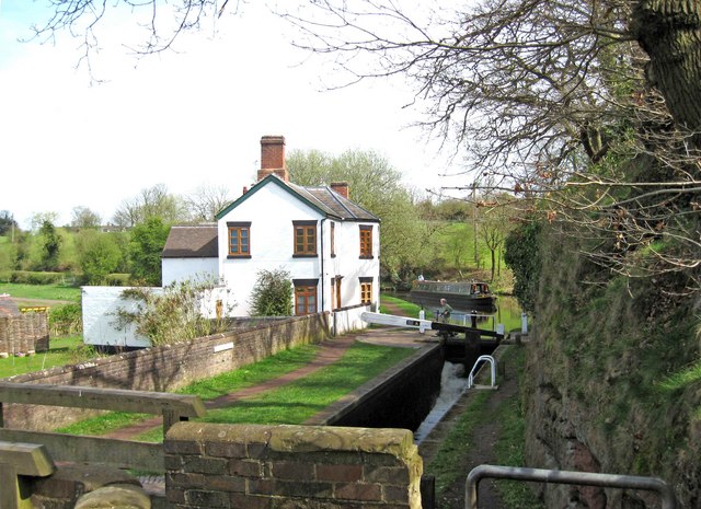
Images are sourced within 2km of 52.426479/-2.220272 or Grid Reference SO8580. Thanks to Geograph Open Source API. All images are credited.
Caunsall is located at Grid Ref: SO8580 (Lat: 52.426479, Lng: -2.220272)
Administrative County: Worcestershire
District: Wyre Forest
Police Authority: West Mercia
What 3 Words
///remembers.trickling.spans. Near Kinvere, Staffordshire
Nearby Locations
Related Wikis

Caunsall
Caunsall is a hamlet in Worcestershire, England a few miles to the north of Kidderminster and close to the villages of Kinver, Cookley and Wolverley. It...

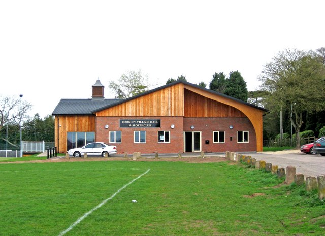
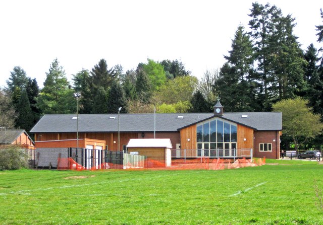
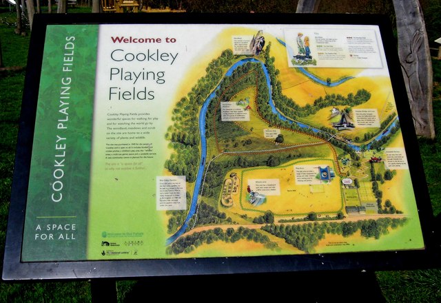
Cookley
Cookley is a village in the Wyre Forest District of Worcestershire, England, a few miles to the north of Kidderminster. Also, a few miles south-west of...

Axborough
Axborough is a low wooded hill east of Cookley in north Worcestershire, England. == History == Its Saxon name meant hassock grass barrow. This does not...

Blakeshall
Blakeshall is a hamlet in Worcestershire, England. It is one of the ancient townships of the manor of Wolverley, whose extent was similar to that of the...
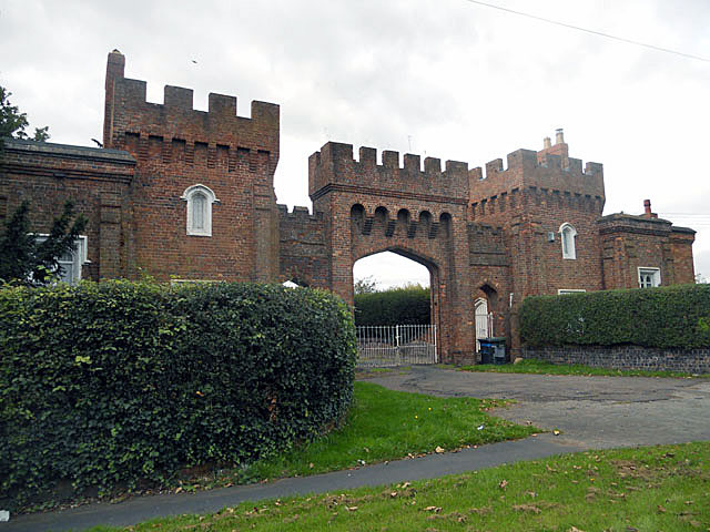
Lea Castle, England
Lea Castle is a ruined Grade II listed Neo Gothic mock castle mansion near Wolverley, England. == History == Lea Castle was built by Edward Knight in 1762...
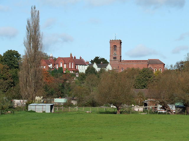
Wolverley
Wolverley is a village; with nearby Cookley (1 mi northeast), it forms a civil parish in the Wyre Forest District of Worcestershire, England. It is 2 miles...

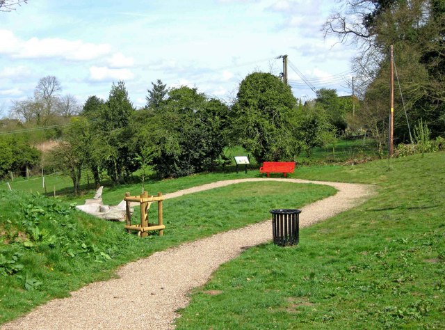
Kingsford Country Park
Kingsford Country Park, officially Kingsford Forest Park, was in Worcestershire, England, U.K. and managed by Worcestershire County Council. It adjoined...

Wolverley Church of England Secondary School
Wolverley CofE Secondary School is located in the village of Wolverley, near Kidderminster in Worcestershire, England. The mixed gender school has approximately...
Nearby Amenities
Located within 500m of 52.426479,-2.220272Have you been to Caunsall?
Leave your review of Caunsall below (or comments, questions and feedback).