Caundle Marsh

Settlement in Dorset

England

Caundle Marsh

Ford on Caundle Marsh This ford is found on New Lane, a track beyond Marsh Court.
Ford on Caundle Marsh Credit: John Walton

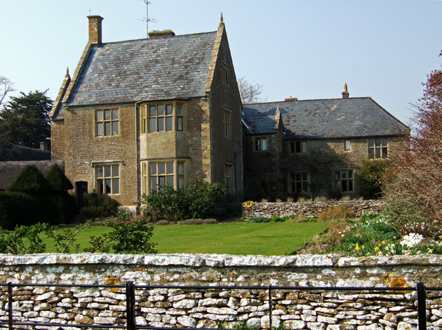
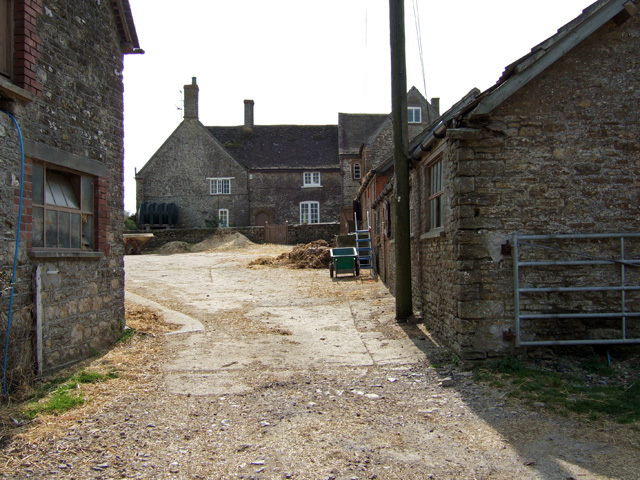
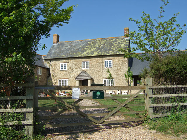
Caundle Marsh is a small village located in the county of Dorset, in southwestern England. Situated approximately 3 miles north of the town of Sherborne, Caundle Marsh is surrounded by the picturesque countryside of the Blackmore Vale.

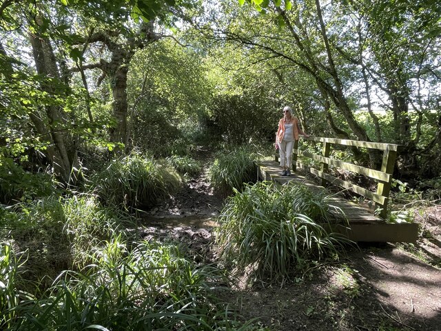
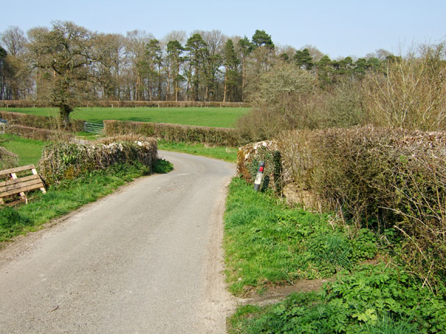
The village is known for its quaint and peaceful atmosphere, making it an ideal destination for those seeking a tranquil retreat. Its rural setting provides ample opportunities for outdoor activities such as hiking, cycling, and birdwatching. The nearby Caundle Brook, a small river that meanders through the village, adds to the charm of the area.

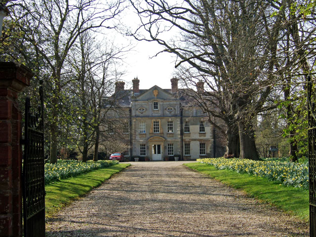
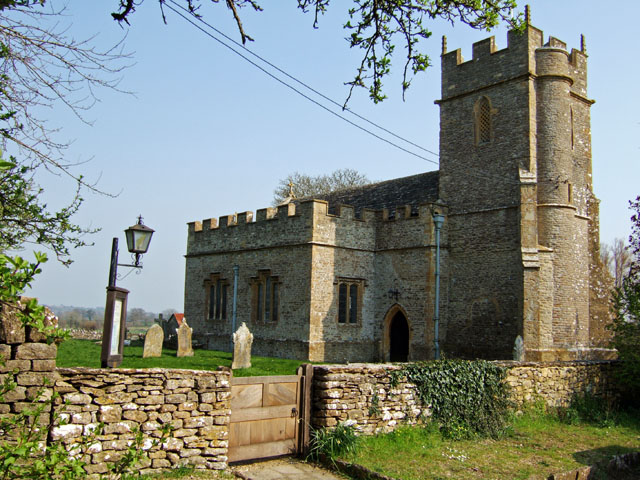
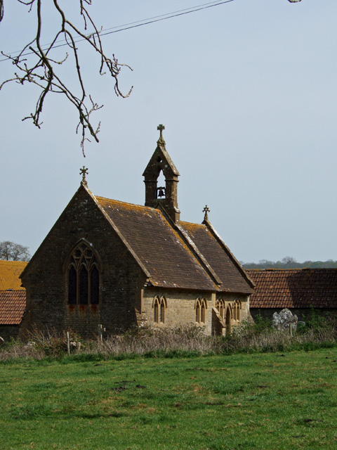
Caundle Marsh boasts a rich history, with evidence of human settlement dating back to the Iron Age. The village itself contains a number of historic buildings, including St. Peter's Church, which dates back to the 13th century and features beautiful stained glass windows and a unique octagonal tower.

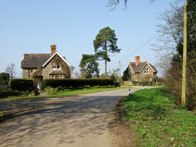
The local community is tight-knit and friendly, with a range of amenities available to residents and visitors. These include a village hall, a pub, and a small shop for everyday essentials. The village also hosts various events throughout the year, such as fairs and festivals, which bring the community together.

Overall, Caundle Marsh offers a serene and idyllic setting, making it an attractive destination for those looking to immerse themselves in the beauty of the Dorset countryside and explore its rich history.

If you have any feedback on the listing, please let us know in the comments section below.

Caundle Marsh Images

Images are sourced within 2km of 50.915999/-2.459207 or Grid Reference ST6713. Thanks to Geograph Open Source API. All images are credited.

Ford on Caundle Marsh This ford is found on New Lane, a track beyond Marsh Court.
Ford on Caundle Marsh
This ford is found on New Lane, a track beyond Marsh Court.
Victorian Post Box at Holwell This is purported to be the oldest Posting Box still in use in the country.
Victorian Post Box at Holwell
This is purported to be the oldest Posting Box still in use in the country.
Bishop's Caundle The view is of the main A3030 which runs through the village, towards the northeast.
Bishop's Caundle
The view is of the main A3030 which runs through the village, towards the northeast.
Bishop's Caundle Church Tower
Bishop's Caundle The western edge of the village looking northeast. The first building on the right is Potter's Post Office and Stores.
Bishop's Caundle
The western edge of the village looking northeast. The first building on the right is Potter's Post Office and Stores.
Cornford Bridge Grade II* listed C15 and C18 road bridge over the river Caundle. View looking northwest on the road to Bishop's Caundle.
Cornford Bridge
Grade II* listed C15 and C18 road bridge over the river Caundle. View looking northwest on the road to Bishop's Caundle.
Buckshaw House Grade II* listed mid C18 house. Pevsner describes this as a 'handsome seven-bay facade of the mid 18th century, recrowned in 1894.'
Buckshaw House
Grade II* listed mid C18 house. Pevsner describes this as a 'handsome seven-bay facade of the mid 18th century, recrowned in 1894.'
Buckshaw House Estate Cottages
Kitford Bridge On the road north towards Alweston.
Kitford Bridge
On the road north towards Alweston.
17th Century Church of St Lawrence - Folke Rebuilt and furnished in 1628, this is historically, a rare date in English ecclesiastical architecture.
17th Century Church of St Lawrence - Folke
Rebuilt and furnished in 1628, this is historically, a rare date in English ecclesiastical architecture.
Folke Manor House Like the nearby church, Folke manor is mainly 17th century in character, although the east wing is of the late C15 or early C16. Grade II* listed.
Folke Manor House
Like the nearby church, Folke manor is mainly 17th century in character, although the east wing is of the late C15 or early C16. Grade II* listed.
Alweston
Alweston
Manor Farm - Caundle Marsh Situated by the church, the farmhouse now has mere traces of its late medieval origins. What remains today is essentially a 16th - 17th century building. Grade II* listed.
Manor Farm - Caundle Marsh
Situated by the church, the farmhouse now has mere traces of its late medieval origins. What remains today is essentially a 16th - 17th century building. Grade II* listed.
Church of St Peter & St Paul - Caundle Marsh Designed by the architect R.H. Shout of Yeovil, the church was completed in 1857.
Church of St Peter & St Paul - Caundle Marsh
Designed by the architect R.H. Shout of Yeovil, the church was completed in 1857.
Tut Hill Farm from the west
Tut Hill Farmhouse Grade II listed, and a mixture of early and late C18.
Tut Hill Farmhouse
Grade II listed, and a mixture of early and late C18.
Prytown Farm Farmhouse "OK to take a photo?" "Of the cottage". I added hastily. "Yes of course, is this for a film location?" she replied hopefully. Despite my reluctance to disappoint, I did tell her the truth, honest! The farmhouse is C17 and Grade II listed.
Prytown Farm Farmhouse
"OK to take a photo?" "Of the cottage". I added hastily. "Yes of course, is this for a film location?" she replied hopefully. Despite my reluctance to disappoint, I did tell her the truth, honest! The farmhouse is C17 and Grade II listed.
Bishop’s Caundle: parish church of Ss. Peter & Paul With its 15th century tower.

Looking closely at <a href="https://www.geograph.org.uk/photo/380051">ST6913 : Bishop's Caundle</a> one can see that the road has since been re-marked with double lines down its centre.
Bishop’s Caundle: parish church of Ss. Peter & Paul
With its 15th century tower. Looking closely at ST6913 : Bishop's Caundle one can see that the road has since been re-marked with double lines down its centre.
Show me another place!

Caundle Marsh is located at Grid Ref: ST6713 (Lat: 50.915999, Lng: -2.459207)

Unitary Authority: Dorset

Police Authority: Dorset

What 3 Words

///runways.pipes.airstrip. Near Sherborne, Dorset

Nearby Locations

Caundle Marsh

Related Wikis

St Peter and St Paul's Church, Caundle Marsh

St Peter and St Paul's Church is a Church of England parish church in Caundle Marsh, Dorset, England. It was designed by Robert Howard Shout and built...

Caundle Marsh

Caundle Marsh is a village and civil parish in northwest Dorset, England, situated in the Blackmore Vale, 4 miles (6.4 km) southeast of Sherborne. The...

Alweston

Alweston is a village in Dorset, England, situated roughly 3.5 miles (5.6 km) southeast of Sherborne. Historically it belonged to the Parish of Folke,...

Bishop's Caundle

Bishop's Caundle is a village and civil parish in Dorset, South West England. It is situated 6 miles (9.7 km) south-east of Sherborne. The local travel...

Nearby Amenities

Located within 500m of 50.915999,-2.459207
Caundle Marsh
Is In: Dorset, England, UK
Place: village
Lat/Long: 50.9179481/-2.4593051
Power: pole
Source: bing
Lat/Long: 50.9163777/-2.4594998
Power: pole
Source: bing
Lat/Long: 50.9170092/-2.4598472
Power: pole
Source: bing
Lat/Long: 50.9173559/-2.460043
Power: pole
Source: bing
Lat/Long: 50.9178877/-2.4604051
Power: pole
Source: bing
Lat/Long: 50.9182961/-2.4598955
Power: pole
Source: bing
Lat/Long: 50.9186157/-2.45895
Material: wood
Power: pole
Source: bing
Lat/Long: 50.9189335/-2.4580394
Material: wood
Power: pole
Source: bing
Lat/Long: 50.9193512/-2.4575257
Power: pole
Source: bing
Lat/Long: 50.9203784/-2.4577296
Power: pole
Source: bing
Lat/Long: 50.9199143/-2.4568431
Power: pole
Source: bing
Lat/Long: 50.91944/-2.4559003
Power: pole
Source: bing
Lat/Long: 50.918964/-2.4549723
The data included in this document is from www.openstreetmap.org. The data is made available under ODbL.

Have you been to Caundle Marsh?

Leave your review of Caundle Marsh below (or comments, questions and feedback).