The Gorse
Wood, Forest in Worcestershire Wyre Forest
England
The Gorse
The Gorse, Worcestershire is a beautiful woodland area located in the county of Worcestershire, England. Covering an estimated area of approximately 200 hectares, The Gorse is known for its dense and vibrant gorse bushes, from which it derives its name.
The woodland is characterized by its rich and varied ecosystem, consisting of a mix of deciduous and coniferous trees, including oak, birch, and pine. This diverse range of tree species provides a habitat for a wide array of wildlife, including various bird species, such as robins, blackbirds, and woodpeckers, as well as mammals like foxes, badgers, and deer.
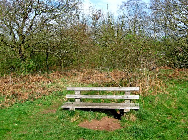
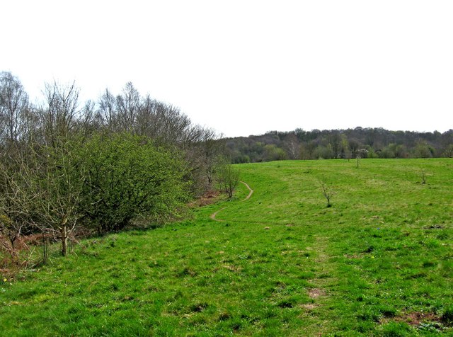
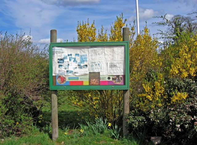
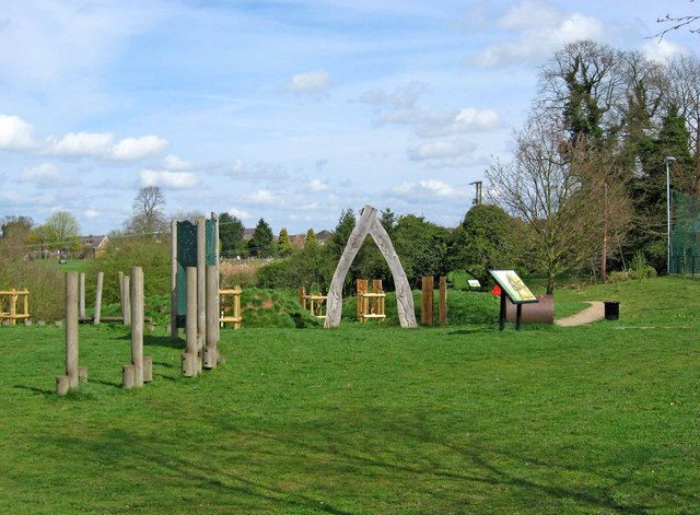
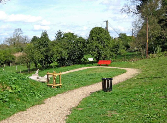
The Gorse offers numerous recreational opportunities for visitors, with a network of well-maintained footpaths and trails that wind through the woodland. These paths provide excellent opportunities for walking, hiking, and cycling, allowing visitors to explore and immerse themselves in the natural beauty of the area.
In addition to its natural beauty, The Gorse also has historical significance. It is believed that the woodland has been present for centuries, and there are remnants of ancient settlements and burial mounds within its boundaries. This adds an element of mystery and intrigue to the area, making it a fascinating destination for history enthusiasts.
Overall, The Gorse, Worcestershire is a picturesque woodland area that offers a tranquil escape from the hustle and bustle of everyday life. Whether it is for nature lovers, history enthusiasts, or those simply seeking a peaceful retreat, The Gorse provides a delightful experience for all who visit.
If you have any feedback on the listing, please let us know in the comments section below.
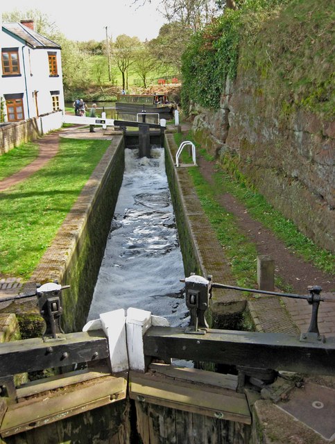
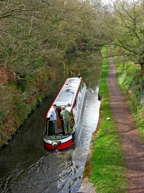
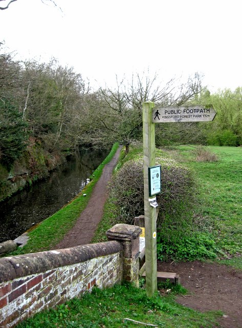
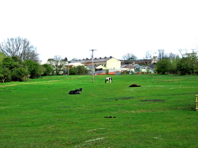
The Gorse Images
Images are sourced within 2km of 52.417876/-2.2118614 or Grid Reference SO8580. Thanks to Geograph Open Source API. All images are credited.
The Gorse is located at Grid Ref: SO8580 (Lat: 52.417876, Lng: -2.2118614)
Administrative County: Worcestershire
District: Wyre Forest
Police Authority: West Mercia
What 3 Words
///popular.leaky.clubbing. Near Kinvere, Staffordshire
Nearby Locations
Related Wikis

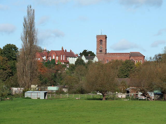
Caunsall
Caunsall is a hamlet in Worcestershire, England a few miles to the north of Kidderminster and close to the villages of Kinver, Cookley and Wolverley. It...
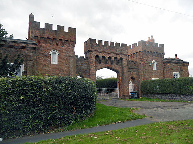
Lea Castle, England
Lea Castle is a ruined Grade II listed Neo Gothic mock castle mansion near Wolverley, England. == History == Lea Castle was built by Edward Knight in 1762...

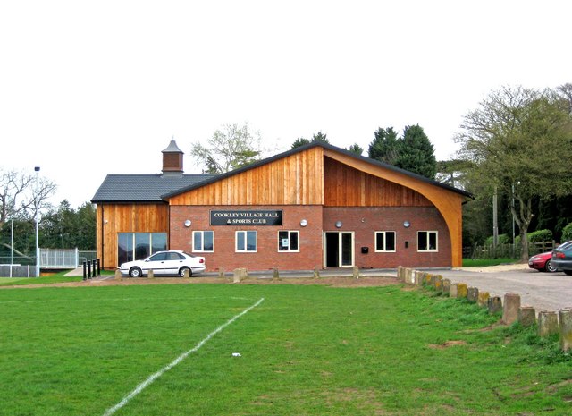
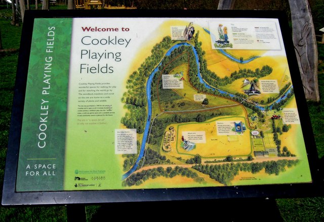
Cookley
Cookley is a village in the Wyre Forest District of Worcestershire, England, a few miles to the north of Kidderminster. Also, a few miles south-west of...
Wolverley
Wolverley is a village; with nearby Cookley (1 mi northeast), it forms a civil parish in the Wyre Forest District of Worcestershire, England. It is 2 miles...
Nearby Amenities
Located within 500m of 52.417876,-2.2118614Have you been to The Gorse?
Leave your review of The Gorse below (or comments, questions and feedback).