Bath Pool

Lake, Pool, Pond, Freshwater Marsh in Worcestershire Wyre Forest

England

Bath Pool

Cookley Village Hall & Sports Club (1), Lea Lane, Cookley This £945,000 project was officially opened on the 5th February 2011. Over 300 people attended the opening. The facility replaced the old Parish Hall. The building comprises a sports club lounge, two meeting rooms with computers and internet, a kitchen, a snooker room and a 200 metre square hall, with a stage for performances.

<a href="https://www.geograph.org.uk/photo/2337173">SO8480 : Cookley Village Hall & Sports Club (2), Lea Lane, Cookley</a>.
Cookley Village Hall & Sports Club (1), Lea Lane, Cookley Credit: P L Chadwick

Bath Pool, located in Worcestershire, is a picturesque freshwater marsh encompassing an area of approximately 2 hectares. Nestled amidst the stunning countryside, this tranquil oasis serves as a haven for a diverse range of flora and fauna.

The pool itself is a natural water body, shallow in depth, with a surface area of around 1.5 hectares. Surrounded by lush vegetation, including reeds, rushes, and water lilies, Bath Pool is a thriving ecosystem, providing a habitat for numerous aquatic species. It is fed by both surface runoff and groundwater sources, ensuring a constant supply of fresh, clean water.

The pool's serene surroundings attract a variety of bird species, making it popular among birdwatchers. Visitors can spot a range of waterfowl, including mallards, swans, and coots, gracefully swimming across the pool's calm surface. The marshy vegetation also provides an ideal nesting ground for several bird species, such as reed warblers and sedge warblers.

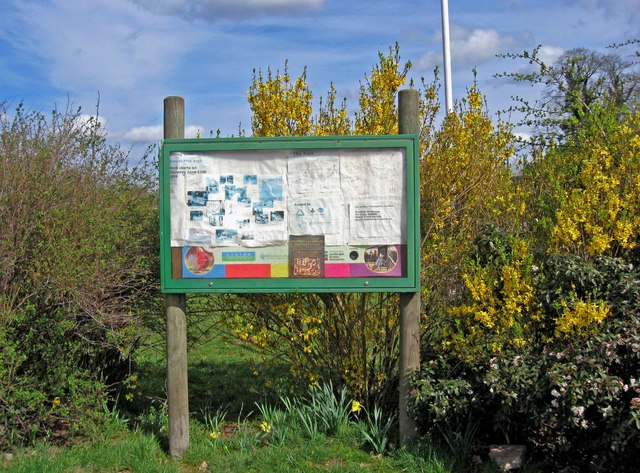
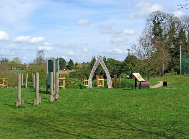
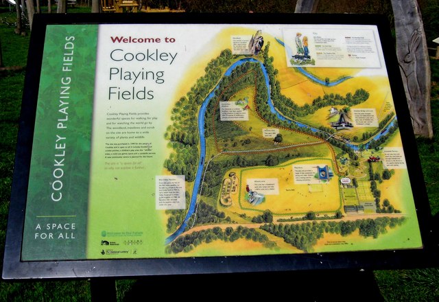
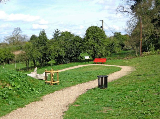
Bath Pool is managed by local conservation authorities, who ensure the preservation of its natural beauty and biodiversity. The pool is accessible to the public through designated walking trails, allowing visitors to explore and appreciate its unique ecosystem. Additionally, educational programs and guided tours are organized to raise awareness about the importance of wetland conservation.

Overall, Bath Pool in Worcestershire is a captivating freshwater marsh, offering a peaceful retreat for both nature enthusiasts and those seeking solace in the beauty of the natural world.

If you have any feedback on the listing, please let us know in the comments section below.
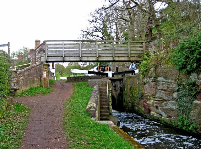
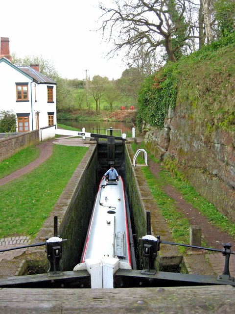
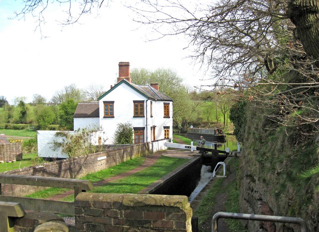
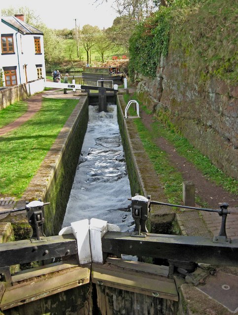
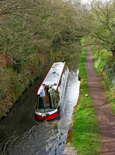
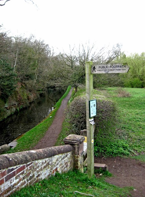
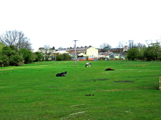
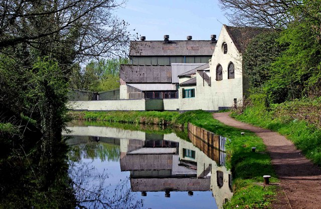
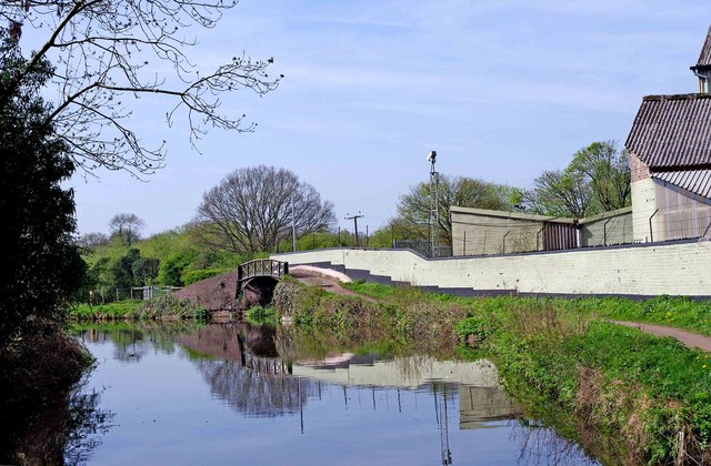
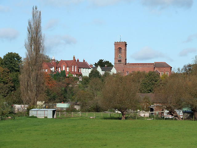
Bath Pool Images

Images are sourced within 2km of 52.426662/-2.2102565 or Grid Reference SO8580. Thanks to Geograph Open Source API. All images are credited.

Cookley Village Hall & Sports Club (1), Lea Lane, Cookley This £945,000 project was officially opened on the 5th February 2011. Over 300 people attended the opening. The facility replaced the old Parish Hall. The building comprises a sports club lounge, two meeting rooms with computers and internet, a kitchen, a snooker room and a 200 metre square hall, with a stage for performances.

<a href="https://www.geograph.org.uk/photo/2337173">SO8480 : Cookley Village Hall & Sports Club (2), Lea Lane, Cookley</a>.
Cookley Village Hall & Sports Club (1), Lea Lane, Cookley
This £945,000 project was officially opened on the 5th February 2011. Over 300 people attended the opening. The facility replaced the old Parish Hall. The building comprises a sports club lounge, two meeting rooms with computers and internet, a kitchen, a snooker room and a 200 metre square hall, with a stage for performances. SO8480 : Cookley Village Hall & Sports Club (2), Lea Lane, Cookley.
Cookley Village Hall & Sports Club (2), Lea Lane, Cookley Outside the new village hall are various sports facilities, a play area for children, and an area for BMX bikes etc and skateboarding, called the Wheels Area.

<a href="https://www.geograph.org.uk/photo/2337154">SO8480 : Cookley Village Hall & Sports Club (1), Lea Lane, Cookley</a>.
Cookley Village Hall & Sports Club (2), Lea Lane, Cookley
Outside the new village hall are various sports facilities, a play area for children, and an area for BMX bikes etc and skateboarding, called the Wheels Area. SO8480 : Cookley Village Hall & Sports Club (1), Lea Lane, Cookley.
Lea Lane, Cookley At the approach to the village of Cookley. On the left is the new Village Hall.

<a href="https://www.geograph.org.uk/photo/2337154">SO8480 : Cookley Village Hall & Sports Club (1), Lea Lane, Cookley</a>.
Lea Lane, Cookley
At the approach to the village of Cookley. On the left is the new Village Hall. SO8480 : Cookley Village Hall & Sports Club (1), Lea Lane, Cookley.
Former Lock Keeper's Cottage, Debdale Lock, Staffs & Worcs Canal near Cookley In the long ago days of freight being carried on the canal, there would have been a resident lock keeper living here.

A different view:- <a href="https://www.geograph.org.uk/photo/3217505">SO8480 : Former Lock Keeper's Cottage, Debdale Lock, near Cookley</a>.
Former Lock Keeper's Cottage, Debdale Lock, Staffs & Worcs Canal near Cookley
In the long ago days of freight being carried on the canal, there would have been a resident lock keeper living here. A different view:- SO8480 : Former Lock Keeper's Cottage, Debdale Lock, near Cookley.
Debdale Lock, Staffs & Worcs Canal, near Cookley A footpath continues from the bridge up to Cookley Playing Fields. In the other direction it goes to Kingsford Forest Park.
Debdale Lock, Staffs & Worcs Canal, near Cookley
A footpath continues from the bridge up to Cookley Playing Fields. In the other direction it goes to Kingsford Forest Park.
Boat in Debdale Lock, Staffs & Worcs Canal, near Cookley There is a cavern beside this lock, which apparently used to be used as a stables for horses pulling boats along the canal. There is room for about four horses to lie down.
Boat in Debdale Lock, Staffs & Worcs Canal, near Cookley
There is a cavern beside this lock, which apparently used to be used as a stables for horses pulling boats along the canal. There is room for about four horses to lie down.
Plaque at Debdale Bridge (No. 22), Staffs & Worcs Canal, near Cookley The small bridge at Debdale Lock is, not surprisingly, called Debdale Bridge, and numbered 22. Usually these plaques are affixed to the bridge, but this one is attached to the lock wall under the bridge. The style of the plaque would seem to indicate it is probably a replacement, rather than an original.

<a href="https://www.geograph.org.uk/photo/2340638">SO8480 : Debdale Lock, Staffs & Worcs Canal, near Cookley</a>.
Plaque at Debdale Bridge (No. 22), Staffs & Worcs Canal, near Cookley
The small bridge at Debdale Lock is, not surprisingly, called Debdale Bridge, and numbered 22. Usually these plaques are affixed to the bridge, but this one is attached to the lock wall under the bridge. The style of the plaque would seem to indicate it is probably a replacement, rather than an original. SO8480 : Debdale Lock, Staffs & Worcs Canal, near Cookley.
Debdale Lock, Staffs & Worcs Canal, near Cookley A narrowboat can be seen approaching the lock. The former lock keeper's cottage is on the left.

<a href="https://www.geograph.org.uk/photo/2340591">SO8480 : Former Lock Keeper's Cottage, Debdale Lock, Staffs & Worcs Canal near Cookley</a>.
Debdale Lock, Staffs & Worcs Canal, near Cookley
A narrowboat can be seen approaching the lock. The former lock keeper's cottage is on the left. SO8480 : Former Lock Keeper's Cottage, Debdale Lock, Staffs & Worcs Canal near Cookley.
Debdale Lock, Staffs & Worcs Canal, near Cookley Another view of the lock:- <a href="https://www.geograph.org.uk/photo/2340721">SO8480 : Debdale Lock, Staffs & Worcs Canal, near Cookley</a>, and <a href="https://www.geograph.org.uk/photo/2340638">SO8480 : Debdale Lock, Staffs & Worcs Canal, near Cookley</a>.
Debdale Lock, Staffs & Worcs Canal, near Cookley
Narrowboat west of Debdale Lock, Staffs & Worcs Canal, near Cookley The narrowboat has just left Debdale Lock. The canal is particularly narrow at this point, and it wouldn't be much fun meeting another boat around here. Photographed from Debdale Bridge.

<a href="https://www.geograph.org.uk/photo/2340658">SO8480 : Boat in Debdale Lock, Staffs & Worcs Canal, near Cookley</a>.
Narrowboat west of Debdale Lock, Staffs & Worcs Canal, near Cookley
The narrowboat has just left Debdale Lock. The canal is particularly narrow at this point, and it wouldn't be much fun meeting another boat around here. Photographed from Debdale Bridge. SO8480 : Boat in Debdale Lock, Staffs & Worcs Canal, near Cookley.
Signpost by Debdale Bridge, Staffs & Worcs Canal, near Cookley The signpost points across a field, where there is a public footpath to Kingsford Forest Park, about a mile and a half away. Behind the signpost can be seen the canal and towpath.

<a href="https://www.geograph.org.uk/photo/2340826">SO8480 : Footpath across a field, near Cookley</a>.
Signpost by Debdale Bridge, Staffs & Worcs Canal, near Cookley
The signpost points across a field, where there is a public footpath to Kingsford Forest Park, about a mile and a half away. Behind the signpost can be seen the canal and towpath. SO8480 : Footpath across a field, near Cookley.
Footpath across a field, near Cookley There is a public footpath across this field, although it isn't immediately obvious quite where the footpath is. It leads to the popular Kingsford Forest Park, which is a nice place for walking, riding and other outdoor pursuits. In the distance can be seen some industrial buildings, which are on the edge of the village of Cookley.

<a href="https://www.geograph.org.uk/photo/2340802">SO8480 : Signpost by Debdale Bridge, Staffs & Worcs Canal, near Cookley</a>.
Footpath across a field, near Cookley
There is a public footpath across this field, although it isn't immediately obvious quite where the footpath is. It leads to the popular Kingsford Forest Park, which is a nice place for walking, riding and other outdoor pursuits. In the distance can be seen some industrial buildings, which are on the edge of the village of Cookley. SO8480 : Signpost by Debdale Bridge, Staffs & Worcs Canal, near Cookley.
Notice board, Cookley Playing Fields, Cookley Much of what is still on the board concerns the construction of a "natural play area", work on which was due to start on the 11th June 2009. It is now complete.

<a href="https://www.geograph.org.uk/photo/2341532">SO8480 : Natural Play Area, Cookley Playing Fields, Cookley</a>.
Notice board, Cookley Playing Fields, Cookley
Much of what is still on the board concerns the construction of a "natural play area", work on which was due to start on the 11th June 2009. It is now complete. SO8480 : Natural Play Area, Cookley Playing Fields, Cookley.
Natural Play Area, Cookley Playing Fields, Cookley This is part of the Natural Play Area, on which work started in June 2009.

<a href="https://www.geograph.org.uk/photo/2341513">SO8480 : Notice board, Cookley Playing Fields, Cookley</a>.
Natural Play Area, Cookley Playing Fields, Cookley
This is part of the Natural Play Area, on which work started in June 2009. SO8480 : Notice board, Cookley Playing Fields, Cookley.
Information board at Cookley Playing Fields, Cookley The board gives much information about the many facilities at the site.
Information board at Cookley Playing Fields, Cookley
The board gives much information about the many facilities at the site.
The zig-zag path to the Canalside Terrace, Cookley Playing Fields, Cookley This view is near the start of the zig-zag path, which gently slopes down to the Canalside Terrace. The terrace gives good views of the Staffs & Worcs Canal, and Debdale Lock.
The zig-zag path to the Canalside Terrace, Cookley Playing Fields, Cookley
This view is near the start of the zig-zag path, which gently slopes down to the Canalside Terrace. The terrace gives good views of the Staffs & Worcs Canal, and Debdale Lock.
Factory buildings by the Staffs & Worcs Canal, Cookley There have been industrial buildings here since an ironworks was built on this site, as early as about 1650, by John Knight. That has long gone, but other industrial buildings followed in the 19th century, but most of what is here now dates from 1935. The buildings are still in use today.

<a href="https://www.geograph.org.uk/photo/2352088">SO8480 : Looking towards a factory arm of the Staffs & Worcs Canal near Cookley</a>.
<a href="https://www.geograph.org.uk/photo/2352108">SO8480 : Entrance to a factory arm of the Staffs & Worcs Canal near Cookley</a>.
Factory buildings by the Staffs & Worcs Canal, Cookley
There have been industrial buildings here since an ironworks was built on this site, as early as about 1650, by John Knight. That has long gone, but other industrial buildings followed in the 19th century, but most of what is here now dates from 1935. The buildings are still in use today. SO8480 : Looking towards a factory arm of the Staffs & Worcs Canal near Cookley. SO8480 : Entrance to a factory arm of the Staffs & Worcs Canal near Cookley.
Looking towards a factory arm of the Staffs & Worcs Canal near Cookley The canal towpath goes over the hump back bridge in the distance. This crossed the start of a short factory arm, which no longer exists. It served an old ironworks, which closed in 1887.  The site has had various industrial uses since then, and most of the existing buildings date from 1935. Some of these can be seen in this view.

<a href="https://www.geograph.org.uk/photo/2352061">SO8480 : Factory buildings by the Staffs & Worcs Canal, Cookley</a>.
<a href="https://www.geograph.org.uk/photo/2352108">SO8480 : Entrance to a factory arm of the Staffs & Worcs Canal near Cookley</a>.
Looking towards a factory arm of the Staffs & Worcs Canal near Cookley
The canal towpath goes over the hump back bridge in the distance. This crossed the start of a short factory arm, which no longer exists. It served an old ironworks, which closed in 1887. The site has had various industrial uses since then, and most of the existing buildings date from 1935. Some of these can be seen in this view. SO8480 : Factory buildings by the Staffs & Worcs Canal, Cookley. SO8480 : Entrance to a factory arm of the Staffs & Worcs Canal near Cookley.
Show me another place!

Bath Pool is located at Grid Ref: SO8580 (Lat: 52.426662, Lng: -2.2102565)

Administrative County: Worcestershire

District: Wyre Forest

Police Authority: West Mercia

What 3 Words

///unzips.clasping.brilliant. Near Kinvere, Staffordshire

Related Wikis

Caunsall

Caunsall is a hamlet in Worcestershire, England a few miles to the north of Kidderminster and close to the villages of Kinver, Cookley and Wolverley. It...

Axborough

Axborough is a low wooded hill east of Cookley in north Worcestershire, England. == History == Its Saxon name meant hassock grass barrow. This does not...

Cookley

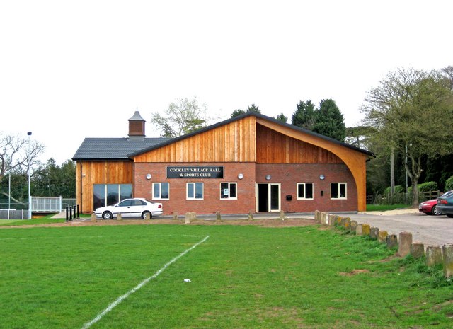
Cookley is a village in the Wyre Forest District of Worcestershire, England, a few miles to the north of Kidderminster. Also, a few miles south-west of...
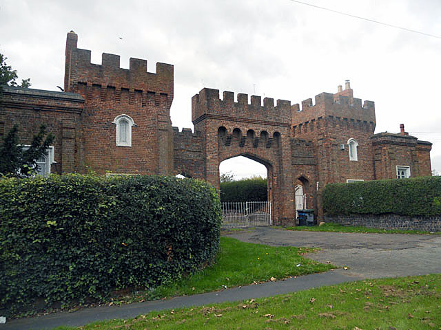
Lea Castle, England

Lea Castle is a ruined Grade II listed Neo Gothic mock castle mansion near Wolverley, England. == History == Lea Castle was built by Edward Knight in 1762...

Blakeshall

Blakeshall is a hamlet in Worcestershire, England. It is one of the ancient townships of the manor of Wolverley, whose extent was similar to that of the...

Iverley

Iverley is an area of the parish of Kinver in Staffordshire that has no road link to the rest of the parish. It is notable as being the most southerly...

Wolverley

Wolverley is a village; with nearby Cookley (1 mi northeast), it forms a civil parish in the Wyre Forest District of Worcestershire, England. It is 2 miles...

Kinver

Kinver is a large village in the District of South Staffordshire in Staffordshire, England. It is in the far south-west of the county, at the end of the...

Nearby Amenities

Located within 500m of 52.426662,-2.2102565
Barrier: stile
Source: survey
Lat/Long: 52.427312/-2.2101346
Power Historic: tower
Source: OS 1:25k
Lat/Long: 52.4231221/-2.2082357
Power Historic: tower
Source: OS 1:25k
Lat/Long: 52.4272129/-2.2081455
Barrier: stile
Source: survey
Lat/Long: 52.4261929/-2.2123852
Man Made: pipeline_marker
Source: visual survey;estimate
Substance: gas
Lat/Long: 52.427045/-2.2063371
Barrier: stile
Source: survey
Lat/Long: 52.4275698/-2.2060952
The data included in this document is from www.openstreetmap.org. The data is made available under ODbL.

Have you been to Bath Pool?

Leave your review of Bath Pool below (or comments, questions and feedback).