The Pool

Lake, Pool, Pond, Freshwater Marsh in Staffordshire South Staffordshire

England

The Pool

Canal at Dimmingsdale Lock near Lower Penn in Staffordshire This is the Staffordshire and Worcestershire Canal, looking north towards Wolverhampton.
The lock raises the water level by nine feet (about 2·7 metres).
Canal at Dimmingsdale Lock near Lower Penn in Staffordshire Credit: Roger Kidd

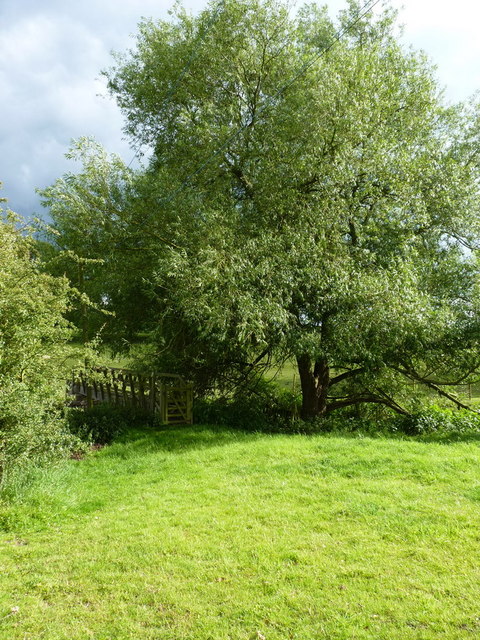
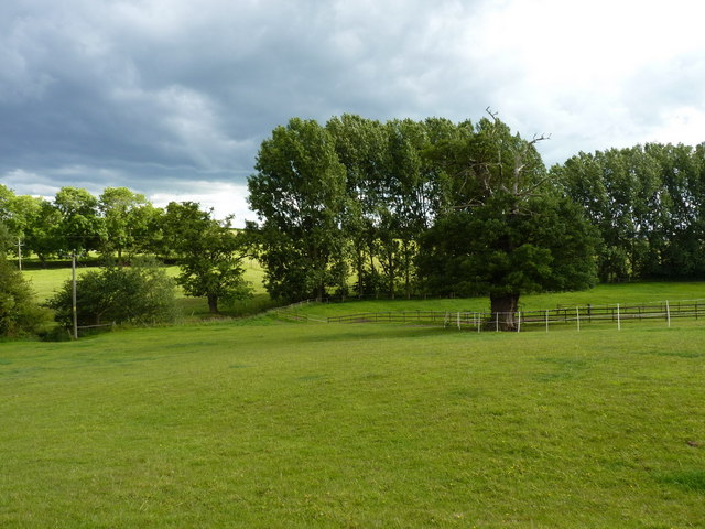
The Pool, located in Staffordshire, is a prominent freshwater feature consisting of a lake, pool, pond, and a freshwater marsh. Spanning approximately 50 acres, it serves as a vital habitat for diverse flora and fauna. The Pool's unique ecosystem supports a wide variety of aquatic plants, including water lilies, reeds, and various submerged species. These plants provide essential cover and nesting sites for numerous bird species, such as ducks, swans, and herons.

The lake, with its crystal-clear waters, offers a serene atmosphere and breathtaking scenic views. It attracts both locals and tourists seeking recreational activities like boating, sailing, and fishing. Anglers are drawn to The Pool due to its abundant fish population, including pike, perch, and carp. The lake's depth varies, providing a diverse range of fishing experiences for enthusiasts of all skill levels.

Adjacent to the lake, a pool and pond serve as important watering holes for wildlife in the area. These smaller bodies of water are teeming with life, attracting amphibians, dragonflies, and a plethora of insects. Visitors can observe the fascinating interactions between these creatures and their environment, making The Pool an ideal spot for nature enthusiasts and wildlife photographers.

Finally, the freshwater marsh surrounding The Pool acts as a natural filter, helping to maintain water quality and fostering a delicate balance within the ecosystem. This marshland is home to an array of wetland plants, including sedges and rushes, providing nesting grounds for birds and a habitat for small mammals like voles and shrews.

Overall, The Pool in Staffordshire offers a rich and diverse natural environment, presenting visitors with a chance to appreciate the beauty and importance of freshwater ecosystems.

If you have any feedback on the listing, please let us know in the comments section below.
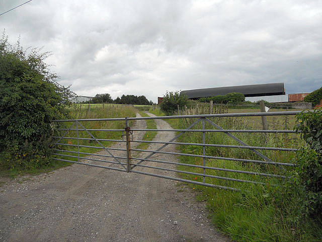
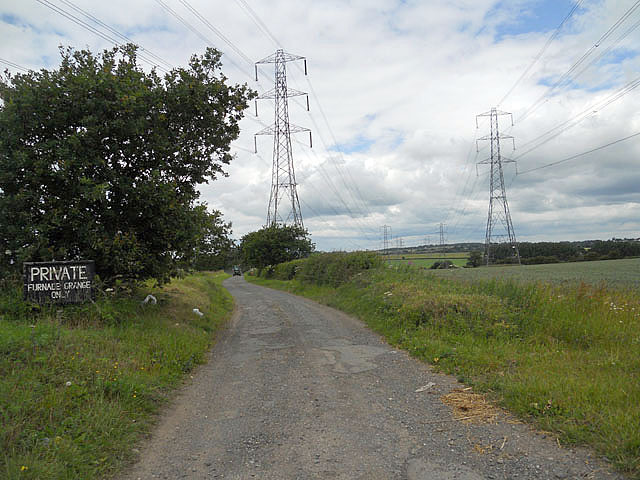
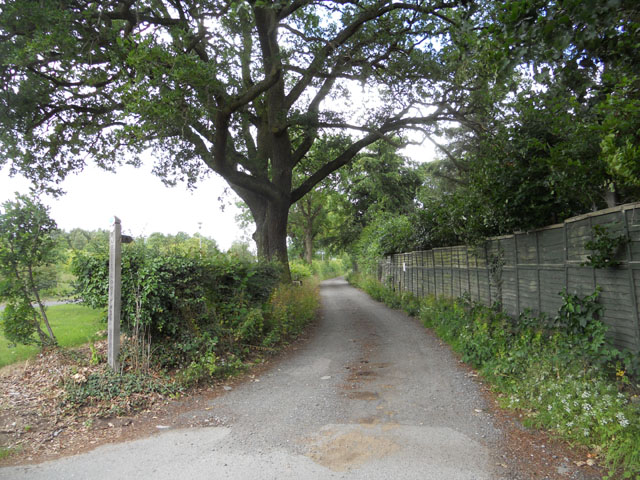
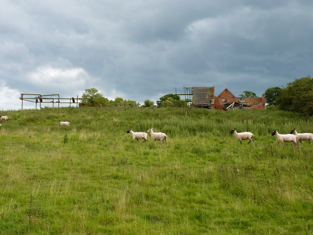
The Pool Images

Images are sourced within 2km of 52.570268/-2.2100877 or Grid Reference SO8596. Thanks to Geograph Open Source API. All images are credited.

Canal at Dimmingsdale Lock near Lower Penn in Staffordshire This is the Staffordshire and Worcestershire Canal, looking north towards Wolverhampton.
The lock raises the water level by nine feet (about 2·7 metres).
Canal at Dimmingsdale Lock near Lower Penn in Staffordshire
This is the Staffordshire and Worcestershire Canal, looking north towards Wolverhampton. The lock raises the water level by nine feet (about 2·7 metres).
Dimmingsdale Lock near Lower Penn in Staffordshire This is the Staffordshire and Worcestershire Canal, looking north towards Wolverhampton.
The lock raises the water level by nine feet (about 2·7 metres).
Dimmingsdale Lock near Lower Penn in Staffordshire
This is the Staffordshire and Worcestershire Canal, looking north towards Wolverhampton. The lock raises the water level by nine feet (about 2·7 metres).
Staffordshire and Worcestershire Canal near Trysull, Staffordshire Looking north-west near Awbridge Farm.
Staffordshire and Worcestershire Canal near Trysull, Staffordshire
Looking north-west near Awbridge Farm.
Narrowboats near Trysull in Staffordshire This is the Staffordshire and Worcestershire Canal near Trysull, looking north-west near Awbridge Farm.
Narrowboats near Trysull in Staffordshire
This is the Staffordshire and Worcestershire Canal near Trysull, looking north-west near Awbridge Farm.
Staffordshire and Worcestershire Canal near Trysull, Staffordshire Looking north-west near Awbridge Farm.
Staffordshire and Worcestershire Canal near Trysull, Staffordshire
Looking north-west near Awbridge Farm.
Gated farm access at Trescott
Private road to Furnace Grange
Bridleway to the Staffordshire Way
Poppies and a stile at Trescott Grange
The Smestow Brook at Trescott Grange Just downstream of the ford
The Smestow Brook at Trescott Grange
Just downstream of the ford
Dilapidated buildings at Trescott Grange The sheep were on a mission to avoid me, despite the absence of the dog on this walk.
Dilapidated buildings at Trescott Grange
The sheep were on a mission to avoid me, despite the absence of the dog on this walk.
Footbridge over the Smestow Brook
Farmland in the Smestow valley
Along the Staffordshire Way near Trescott Looking south on the track/footpath that runs between Trescott and Great Moor
Along the Staffordshire Way near Trescott
Looking south on the track/footpath that runs between Trescott and Great Moor
Just about visible A footpath runs along the hedgeline - although the wheat is planted right up hard against the hedge. Passable with care.
Just about visible
A footpath runs along the hedgeline - although the wheat is planted right up hard against the hedge. Passable with care.
No footpath to be seen The map marks a path across here, but there's absolutely no sign on the ground at all. So I just waded in, heading for the gap in the hedge left of centre about 100 yards away...
No footpath to be seen
The map marks a path across here, but there's absolutely no sign on the ground at all. So I just waded in, heading for the gap in the hedge left of centre about 100 yards away...
Back on a marked path After the problems finding a route across the wheatfield on the right (<a href="https://www.geograph.org.uk/photo/2482656">SO8497 : No footpath to be seen</a>), a well-defined track & bridleway is quite a relief.
Back on a marked path
After the problems finding a route across the wheatfield on the right (SO8497 : No footpath to be seen), a well-defined track & bridleway is quite a relief.
Wightwick Manor The manor was built for Theodore Mander who was a 19th century industrialist. It was designed by Edward Ould and the first phase was finished in 1887.Sir Geoffrey Mander presented the house to the National Trust in 1937.
Wightwick Manor
The manor was built for Theodore Mander who was a 19th century industrialist. It was designed by Edward Ould and the first phase was finished in 1887.Sir Geoffrey Mander presented the house to the National Trust in 1937.
Show me another place!

The Pool is located at Grid Ref: SO8596 (Lat: 52.570268, Lng: -2.2100877)

Administrative County: Staffordshire

District: South Staffordshire

Police Authority: Staffordshire

What 3 Words

///then.meant.grit. Near Pattingham, Staffordshire

Nearby Locations

The Pool

Related Wikis

Penn Halt railway station

Penn Halt was the smallest of all stops on the Wombourne Branch Line. It was opened by the Great Western Railway in 1925 and closed in 1932. The line was...

A.F.C. Wulfrunians

A.F.C. Wulfrunians is a football club based in Castlecroft, Wolverhampton, England. They are currently members of the Midland League Premier Division and...

Wightwick

Wightwick ( WIT-ik) is a part of Tettenhall Wightwick ward in Wolverhampton, West Midlands, England. It is named after an ancient local family the "de...
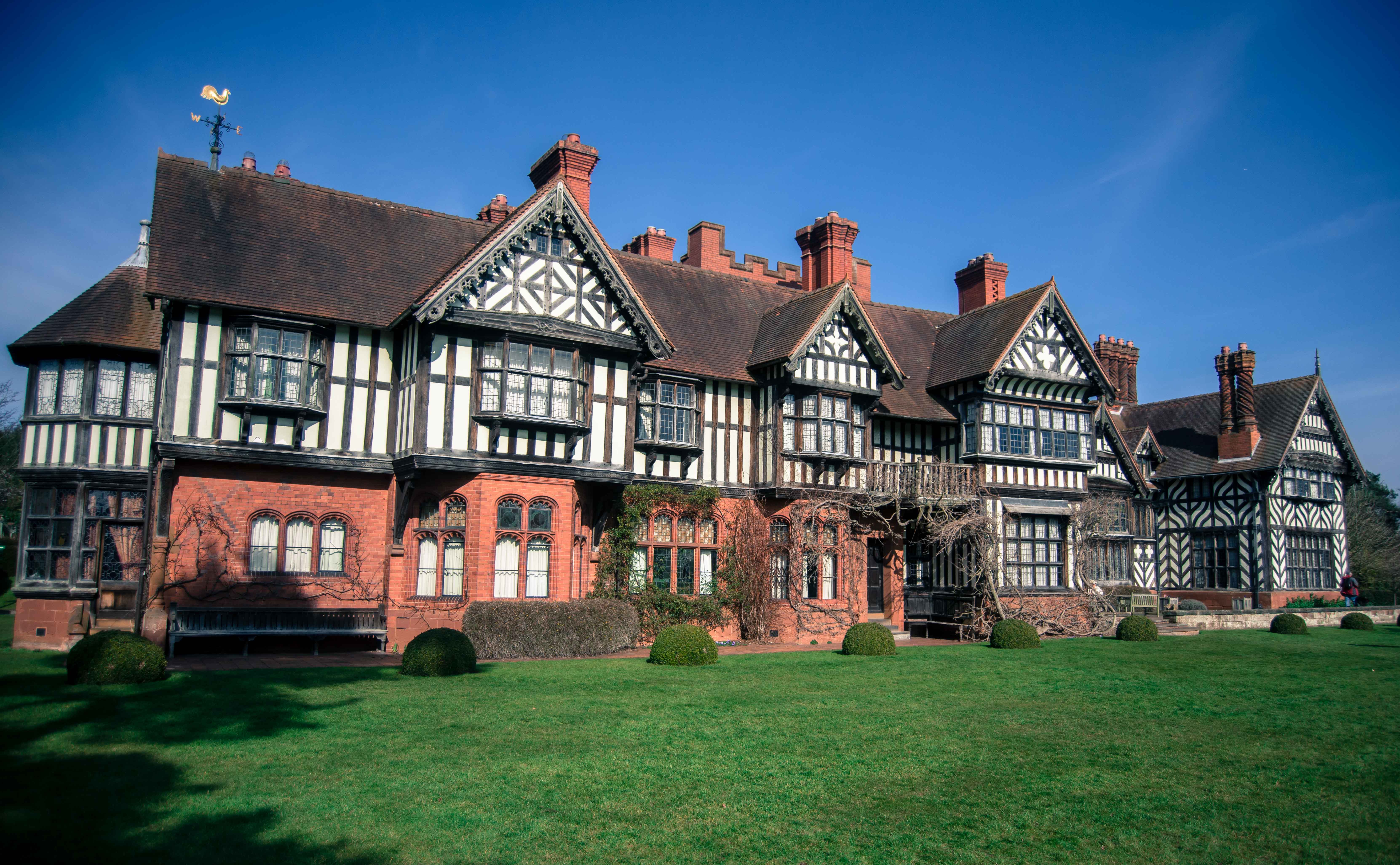
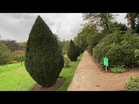
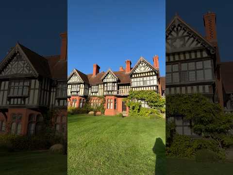
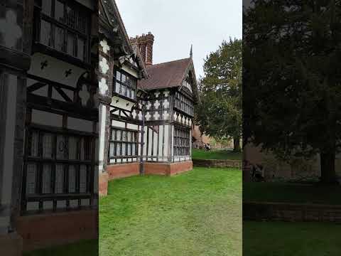
Wightwick Manor

The legacy of a family's passion for Victorian art and design, Wightwick Manor (pronounced "Wittick") is a Victorian manor house located on Wightwick Bank...

Castlecroft

Castlecroft is a suburb of Wolverhampton, West Midlands, located on the edge of the city, WSW of the city centre. It is situated where the Merry Hill,...

Orton, Staffordshire

Orton is a hamlet in the South Staffordshire district, in the English county of Staffordshire. Nearby settlements include the city of Wolverhampton and...

Smestow Academy

Smestow Academy (formerly Smestow School), also known as simply Smestow (pronounced "smest-oh") is a coeducational secondary school and sixth form located...

Tettenhall Wightwick (ward)

Tettenhall Wightwick is a ward of Wolverhampton City Council, West Midlands. The population of this ward taken at the 2011 census was 10,872. == Geography... ==

Related Videos

Mindful Nature Walk in an English Garden with Rain.

Enjoy a one hour walk around a beautiful English garden in the rain! See a country house, flowers, autumnal leaves, woodland, ...

National Trust Wightwick Manor 4K Walking Tour 2023

Taking a look round National Trust Wightwick Manor Wightwick Bank Wolverhampton WV6 8EE. As per usual the weather not ...

Nearby Amenities

Located within 500m of 52.570268,-2.2100877
Power: tower
Lat/Long: 52.5674077/-2.2052169
Barrier: stile
Source: survey
Lat/Long: 52.5711219/-2.2050124
Power: pole
Lat/Long: 52.5746745/-2.2096796
Power: pole
Lat/Long: 52.5742358/-2.2092691
Power: pole
Lat/Long: 52.5738443/-2.2107414
Power: pole
Lat/Long: 52.5743664/-2.2131329
Power: pole
Lat/Long: 52.5737209/-2.2124194
Generator Method: photovoltaic
Generator Output Electricity: yes
Generator Source: solar
Generator Type: solar_photovoltaic_panel
Location: roof
Power: generator
Lat/Long: 52.5732912/-2.2072193
The data included in this document is from www.openstreetmap.org. The data is made available under ODbL.

Have you been to The Pool?

Leave your review of The Pool below (or comments, questions and feedback).