Slacks Wood

Wood, Forest in Peeblesshire

Scotland

Slacks Wood

Sunlight at Traquair Patchy sunlight as a low-lying cloud layer thins out above the Tweed valley.
Sunlight at Traquair Credit: Jim Barton

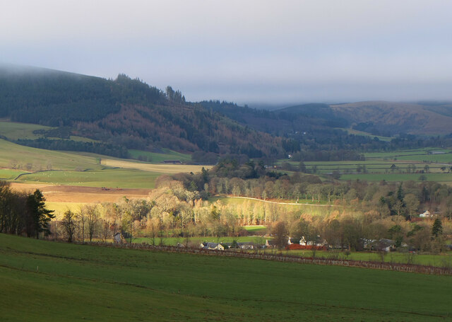
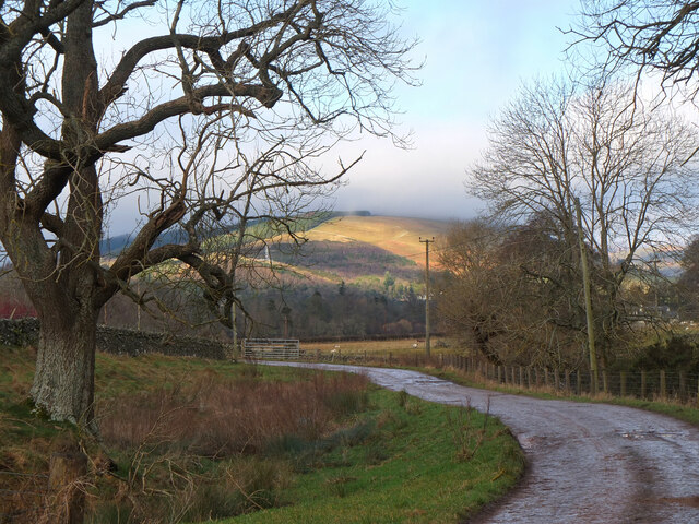
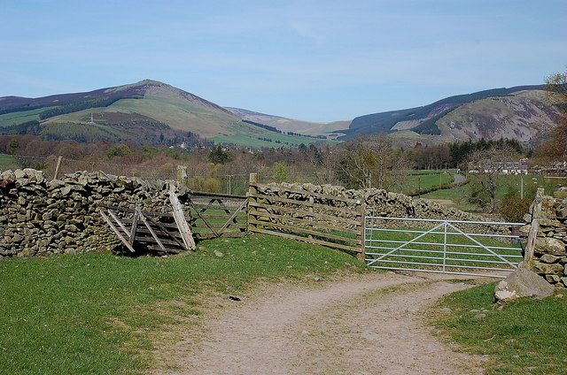
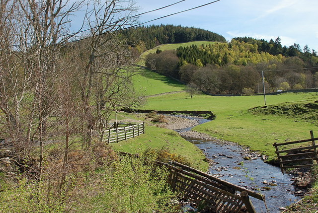
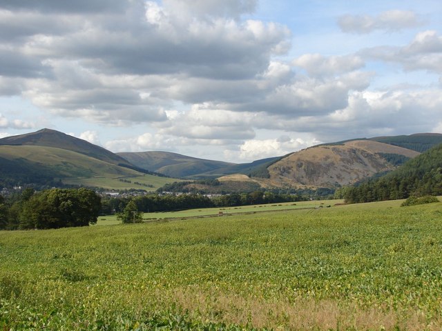
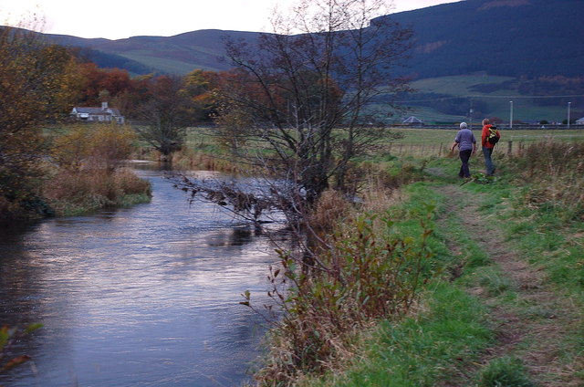
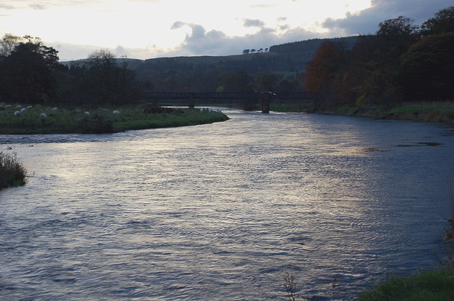
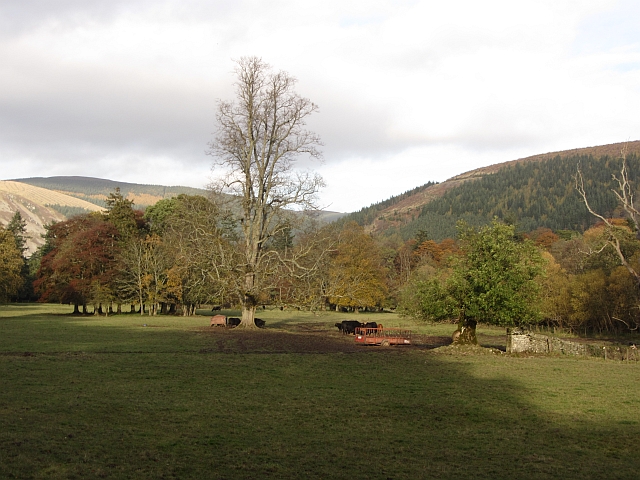
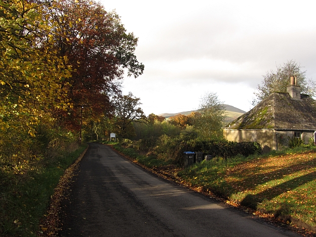
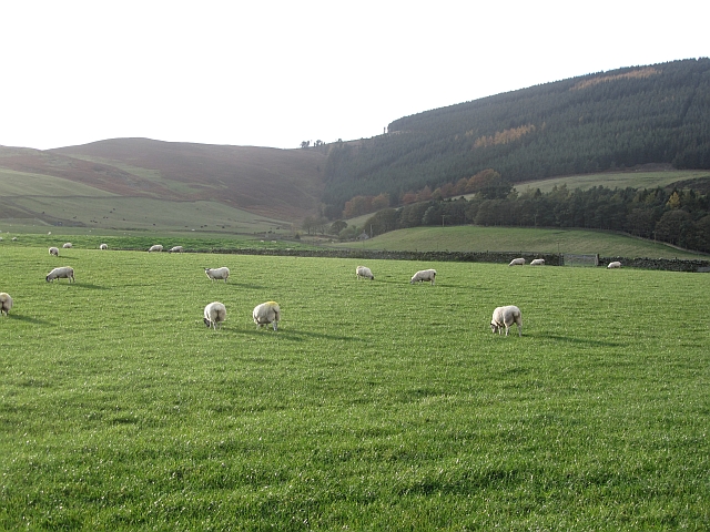
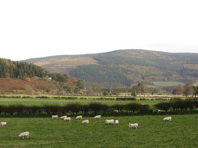
Slacks Wood is a picturesque forest located in Peeblesshire, Scotland. Situated near the town of Peebles, this tranquil woodland covers an area of approximately 50 hectares. It is a popular destination for nature enthusiasts, hikers, and those seeking a peaceful retreat.

The wood is predominantly composed of native broadleaf trees such as oak, birch, and ash. Their dense canopy provides shade and creates a cool and refreshing atmosphere, especially during the warm summer months. The forest floor is covered in a thick carpet of moss and ferns, adding to its enchanting beauty.

Slacks Wood is home to a variety of wildlife, making it a haven for nature lovers. It is not uncommon to spot red squirrels darting through the trees or hear the distinctive call of a woodpecker. The area also boasts a rich bird population, with species such as the great spotted woodpecker, chiffchaff, and tawny owl making their homes here.

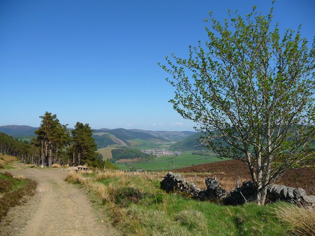
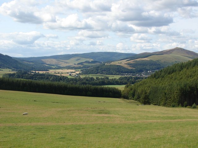
For outdoor enthusiasts, Slacks Wood offers a network of well-maintained trails that wind through the forest, providing opportunities for leisurely walks or more challenging hikes. The paths are clearly marked, ensuring visitors can explore the wood with ease. Along the way, there are several designated viewpoints that offer breathtaking vistas of the surrounding countryside.

Slacks Wood is a true gem of Peeblesshire, offering visitors a chance to immerse themselves in the beauty of nature. Its tranquility, diverse flora, and abundant wildlife make it a must-visit destination for anyone seeking a peaceful escape in the heart of Scotland.

If you have any feedback on the listing, please let us know in the comments section below.

Slacks Wood Images

Images are sourced within 2km of 55.602383/-3.0800254 or Grid Reference NT3234. Thanks to Geograph Open Source API. All images are credited.

Sunlight at Traquair Patchy sunlight as a low-lying cloud layer thins out above the Tweed valley.
Sunlight at Traquair
Patchy sunlight as a low-lying cloud layer thins out above the Tweed valley.
Track near Damhead The track to the B709 road to Traquair with Lee Pen catching the sun in the background.
Track near Damhead
The track to the B709 road to Traquair with Lee Pen catching the sun in the background.
Roman Catholic Church of St James, Innerleithen
Track approaching Damhead farm The track from Damhead Rig passes through the farmyard. The buildings at Traquair village are in the middle distance.
Track approaching Damhead farm
The track from Damhead Rig passes through the farmyard. The buildings at Traquair village are in the middle distance.
Fingland Burn Seen from the road bridge, with Shaw Hill in the background.
Fingland Burn
Seen from the road bridge, with Shaw Hill in the background.
Traquair Kirk Looking to the west.
Traquair Kirk
Looking to the west.
Forest walk Forest walk in Cardrona Forest with view over Tweed Valley to Peebles some 4 or 5 miles distant. Cardrona Forest which is owned by the Forestry Commission has many fine forest walks. It is also a haven for a great variety of wildlife including the recent welcome return of nesting Ospreys.
Forest walk
Forest walk in Cardrona Forest with view over Tweed Valley to Peebles some 4 or 5 miles distant. Cardrona Forest which is owned by the Forestry Commission has many fine forest walks. It is also a haven for a great variety of wildlife including the recent welcome return of nesting Ospreys.
War memorial at Traquair The solid looking memorial stands at a road junction; Lee Pen is the prominent hill beyond.
War memorial at Traquair
The solid looking memorial stands at a road junction; Lee Pen is the prominent hill beyond.
View towards the River Tweed near Innerleithen A pleasant view of the River Tweed and surrounding farmland at the start of August.
View towards the River Tweed near Innerleithen
A pleasant view of the River Tweed and surrounding farmland at the start of August.
View towards Innerleithen Looking across from the S.U.W. pathway towards Pirn Craig, with Lee Pen on the far left.
View towards Innerleithen
Looking across from the S.U.W. pathway towards Pirn Craig, with Lee Pen on the far left.
St. James Roman Catholic Church, Innerleithen A sunny day in Innerleithen, the Church Spire makes a superb backdrop to the fruits of the tree.
St. James Roman Catholic Church, Innerleithen
A sunny day in Innerleithen, the Church Spire makes a superb backdrop to the fruits of the tree.
St. James Roman Catholic Church, Innerleithen A blue sky background to a dramatic subject, a very pretty church, in a lovely village by the River Tweed.
St. James Roman Catholic Church, Innerleithen
A blue sky background to a dramatic subject, a very pretty church, in a lovely village by the River Tweed.
Path alongside the Tweed, Innerleithen In the background is the Toll cottage by the Tweed Bridge.
Path alongside the Tweed, Innerleithen
In the background is the Toll cottage by the Tweed Bridge.
The Tweed at Innerleithen The Tweed just E of the road bridge in the fading light of a November afternoon.
The Tweed at Innerleithen
The Tweed just E of the road bridge in the fading light of a November afternoon.
Gardener's Acre Parkland, grazed by cattle, Traquair.
Gardener's Acre
Parkland, grazed by cattle, Traquair.
B7062, Traquair Outside the famous shut gate - The Steekit Yetts  <a href="https://www.geograph.org.uk/photo/4678">NT3235 : The Steekit Yetts</a>. This road is a quiet and narrow alternative to the A72 on the other side of the Tweed.
B7062, Traquair
Outside the famous shut gate - The Steekit Yetts NT3235 : The Steekit Yetts. This road is a quiet and narrow alternative to the A72 on the other side of the Tweed.
Sheep below Grieston Hill Good grazing in Tweeddale.
Sheep below Grieston Hill
Good grazing in Tweeddale.
Sheep in Tweeddale Grazing the floodplain at Howford.
Sheep in Tweeddale
Grazing the floodplain at Howford.
Show me another place!

Slacks Wood is located at Grid Ref: NT3234 (Lat: 55.602383, Lng: -3.0800254)

Unitary Authority: The Scottish Borders

Police Authority: The Lothians and Scottish Borders

What 3 Words

///paper.scanty.studio. Near Innerleithen, Scottish Borders

Related Wikis

Have you been to Slacks Wood?

Leave your review of Slacks Wood below (or comments, questions and feedback).