Adamston Wood

Wood, Forest in Angus

Scotland

Adamston Wood

Farmland below West Mains
Farmland below West Mains Credit: Douglas Nelson

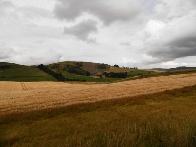
Adamston Wood is a picturesque woodland located in Angus, Scotland. Covering an area of approximately 100 acres, it is a stunning example of a mixed woodland habitat. The wood is predominantly made up of native broadleaf trees such as oak, birch, and beech, creating a diverse and vibrant ecosystem.

The wood is known for its rich biodiversity, providing a home for a wide range of flora and fauna. The forest floor is carpeted with a variety of wildflowers, including bluebells and primroses, creating a breathtaking display in spring. The dense tree canopy provides shelter and nesting sites for numerous bird species, such as woodpeckers, owls, and songbirds.

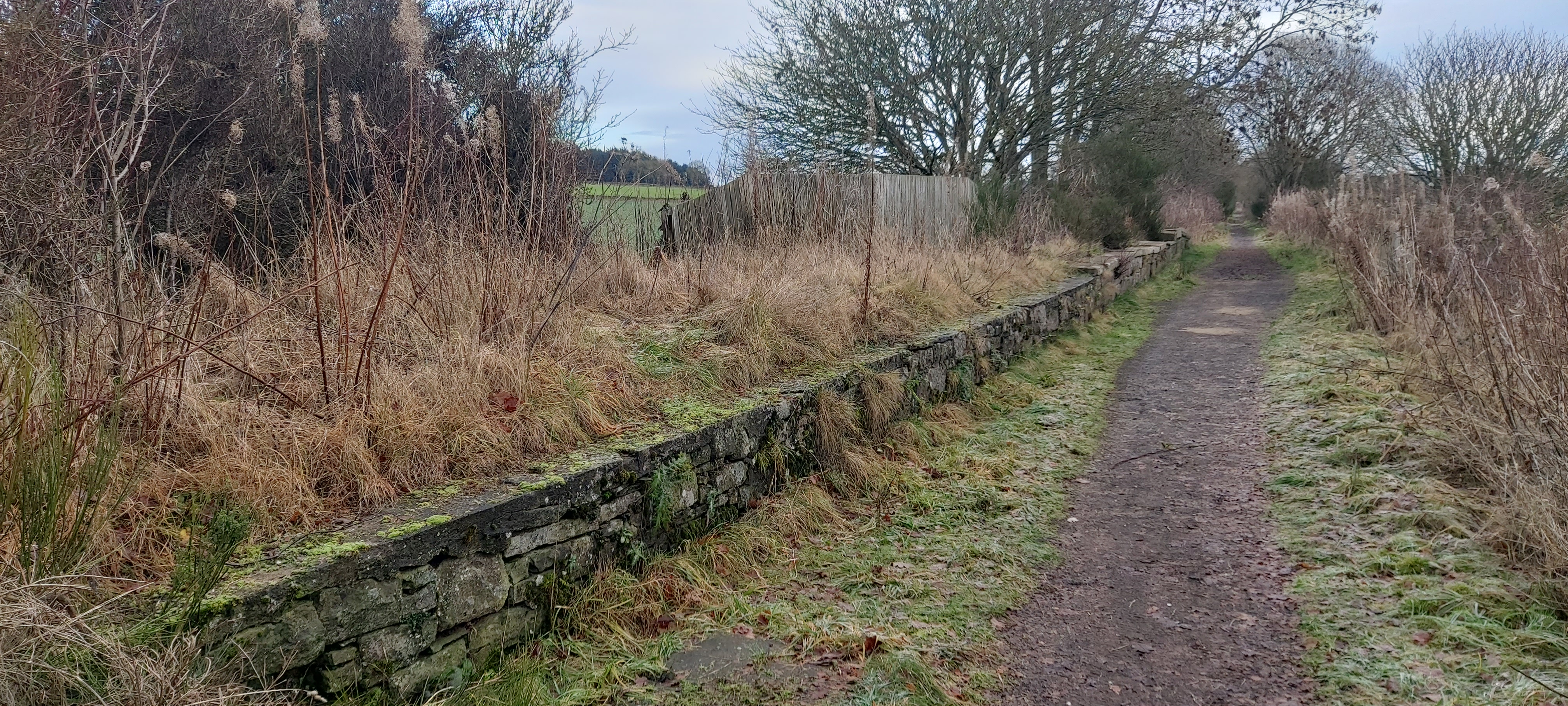
Visitors to Adamston Wood can explore a network of well-maintained walking trails, allowing them to immerse themselves in the natural beauty of the woodland. The paths wind through ancient trees, offering glimpses of enchanting wildlife along the way. There are also designated picnic areas, providing a perfect spot to relax and enjoy the peaceful surroundings.

Adamston Wood is not only a haven for nature enthusiasts but also a valuable educational resource. Local schools often visit the wood to learn about ecology and conservation, making use of the educational materials and guided tours provided by the park authorities.

Overall, Adamston Wood is a captivating woodland that offers visitors a chance to connect with nature and experience the tranquility of the Scottish countryside. Its diverse ecosystem, well-maintained trails, and educational opportunities make it a popular destination for both locals and tourists alike.

If you have any feedback on the listing, please let us know in the comments section below.

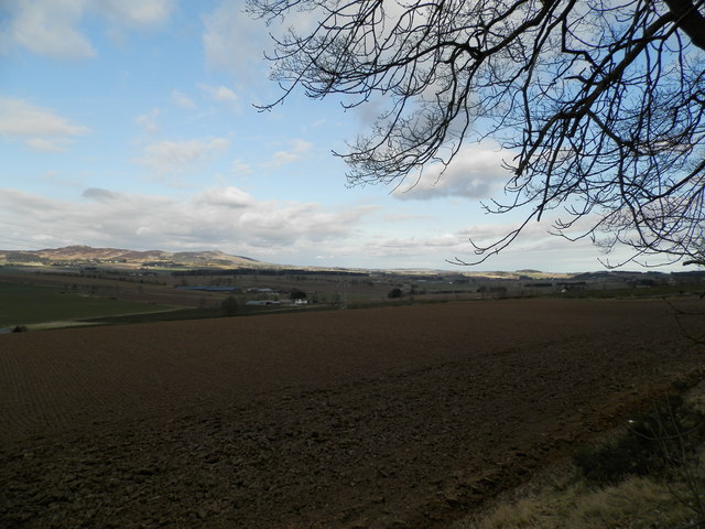
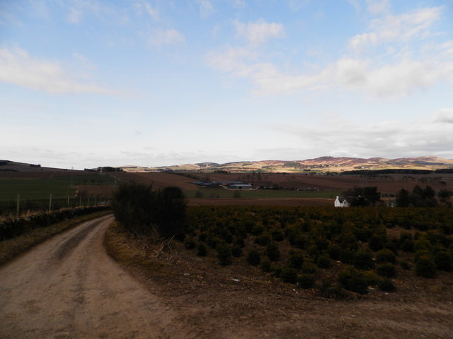
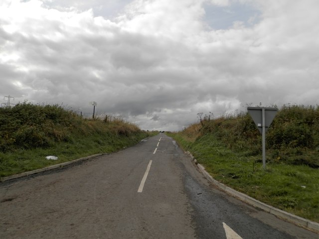
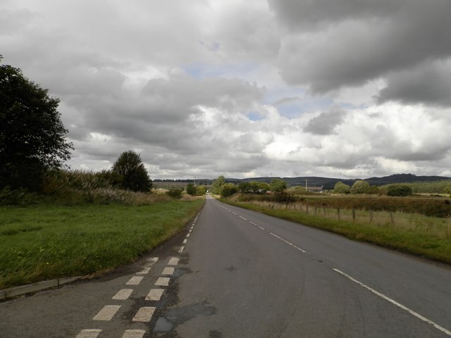
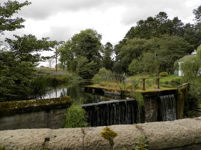
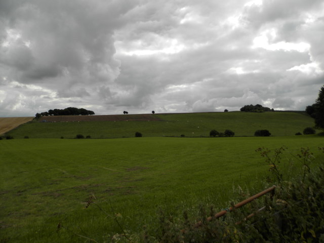
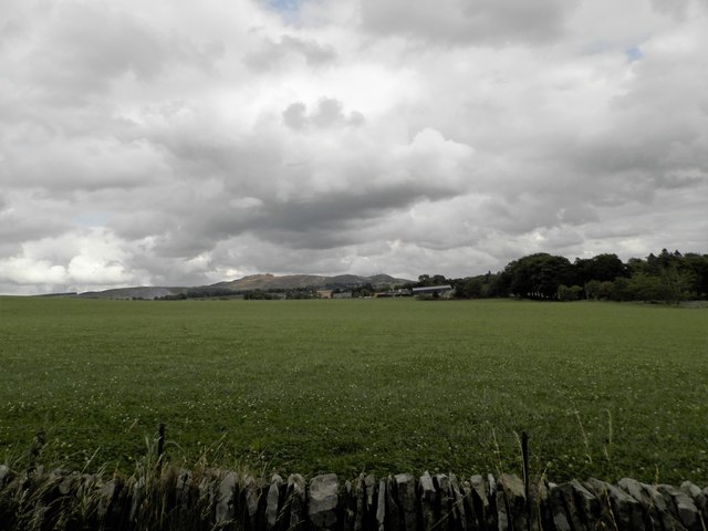
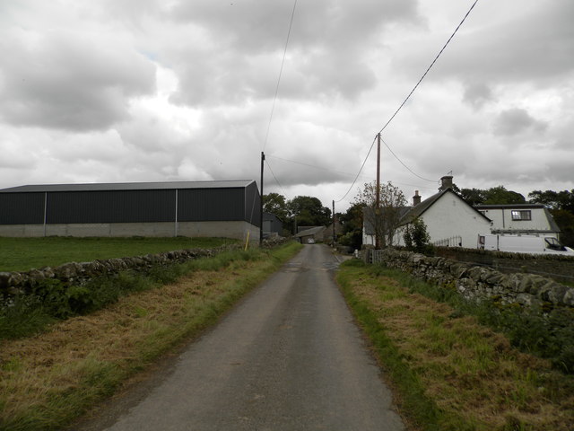
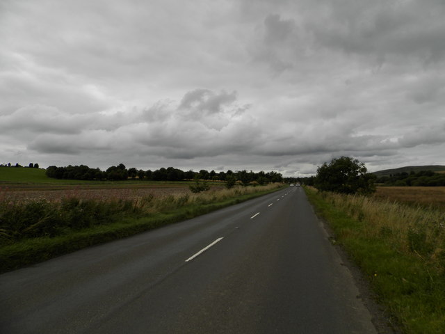
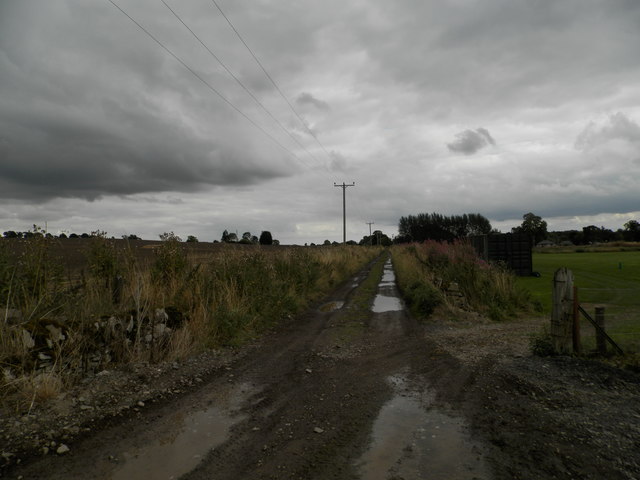
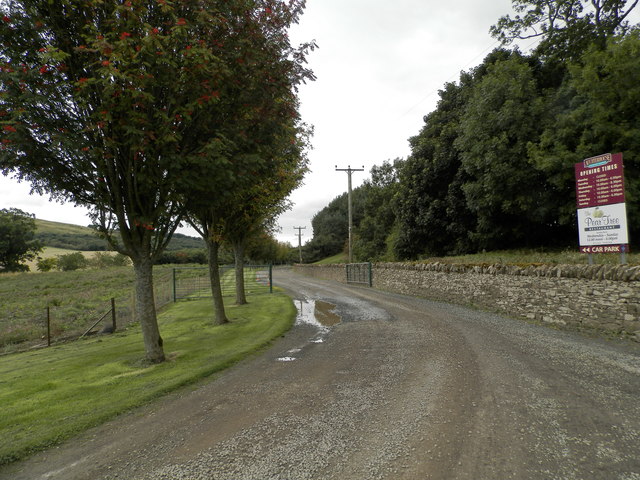
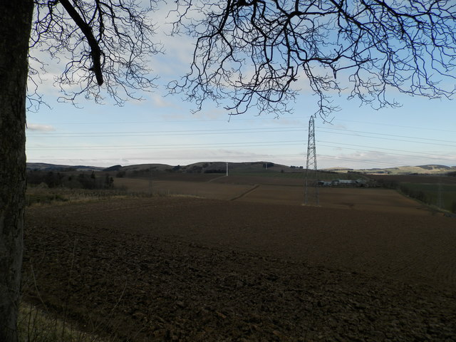
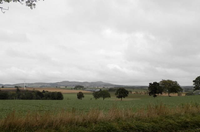
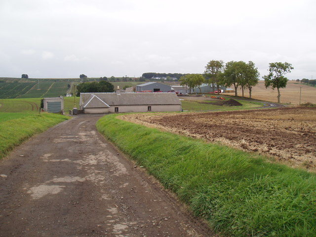
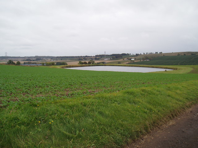
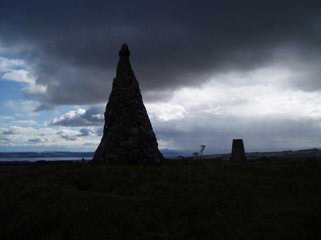
Adamston Wood Images

Images are sourced within 2km of 56.51507/-3.1058168 or Grid Reference NO3236. Thanks to Geograph Open Source API. All images are credited.

Farmland below West Mains
Field at Keithhall, near Muirhead All appears ready for the next crop to grow.
Field at Keithhall, near Muirhead
All appears ready for the next crop to grow.
Christmas tree plantation at Westmarch
Minor road heading towards East Adamston Mill
Minor road near Dronley
The B954 at Dronley
The B954 at Dronley
Sluice at Auchterhouse
Field at West Mains, Auchterhouse
Field at East Mains, Auchterhouse
East Mains, Auchterhouse
The B954 north of Auchterhouse
Track to Auchterhouse The track was once part of the former rail line between Dundee and Newtyle.
Track to Auchterhouse
The track was once part of the former rail line between Dundee and Newtyle.
Track to Auchterhouse Country Sports The track follows the line of the former Dundee to Newtyle railway
Track to Auchterhouse Country Sports
The track follows the line of the former Dundee to Newtyle railway
Farmland at Keithhall
Farmland to the north of the A923
West Adamston farm
West Adamston farm
Field and reservoir at West Adamston
Cairn and trig point on West Mains Hill The cairn is beginning to show signs of weathering in that the outer layer of cement is crumbling and exposing the stones. The reason for its construction is a mystery. But not any longer. See <span class="nowrap"><a title="https://canmore.org.uk/site/31900/west-mains" rel="nofollow ugc noopener" href="https://canmore.org.uk/site/31900/west-mains">Link</a><img style="margin-left:2px;" alt="External link" title="External link - shift click to open in new window" src="https://s1.geograph.org.uk/img/external.png" width="10" height="10"/></span> . According to Canmore "The monument comprises the remains of a burial cairn situated in rough pasture at around 290m OD on the summit of West Mains Hill. It is grass-covered and measures some 21m E-W by about 22m N-S, and about 1.5m maximum height. Excavations in 1897 uncovered a double cist in the centre of the cairn containing evidence for Bronze Age burials, along with signs of structural complexity in the cairn's construction. These early excavations are probably responsible for two areas of disturbance visible in the centre and on the NW of the cairn surface. The cairn is otherwise intact and is surmounted by an Ordnance Survey trig point and a modern monument apparently constructed from spoil from the 1897 excavations."

Information from Historic Scotland, scheduling document dated 23 December 1996
Cairn and trig point on West Mains Hill
The cairn is beginning to show signs of weathering in that the outer layer of cement is crumbling and exposing the stones. The reason for its construction is a mystery. But not any longer. See LinkExternal link . According to Canmore "The monument comprises the remains of a burial cairn situated in rough pasture at around 290m OD on the summit of West Mains Hill. It is grass-covered and measures some 21m E-W by about 22m N-S, and about 1.5m maximum height. Excavations in 1897 uncovered a double cist in the centre of the cairn containing evidence for Bronze Age burials, along with signs of structural complexity in the cairn's construction. These early excavations are probably responsible for two areas of disturbance visible in the centre and on the NW of the cairn surface. The cairn is otherwise intact and is surmounted by an Ordnance Survey trig point and a modern monument apparently constructed from spoil from the 1897 excavations." Information from Historic Scotland, scheduling document dated 23 December 1996
Show me another place!

Adamston Wood is located at Grid Ref: NO3236 (Lat: 56.51507, Lng: -3.1058168)

Unitary Authority: Angus

Police Authority: Tayside

What 3 Words

///trade.supply.tutorial. Near Muirhead, Angus

Nearby Locations

Adamston Wood

Related Wikis

Nearby Amenities

Located within 500m of 56.51507,-3.1058168
Power: pole
Lat/Long: 56.5179657/-3.1007083
Power: pole
Lat/Long: 56.5180505/-3.1022553
Power: pole
Lat/Long: 56.5181678/-3.1042479
Power: pole
Lat/Long: 56.5180025/-3.1060382
Power: pole
Lat/Long: 56.5178287/-3.107767
Power: pole
Lat/Long: 56.5176577/-3.1094933
Power: pole
Lat/Long: 56.5174881/-3.1112272
The data included in this document is from www.openstreetmap.org. The data is made available under ODbL.

Have you been to Adamston Wood?

Leave your review of Adamston Wood below (or comments, questions and feedback).