Cottarsburn Wood
Wood, Forest in Banffshire
Scotland
Cottarsburn Wood

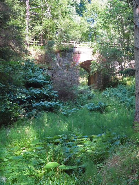
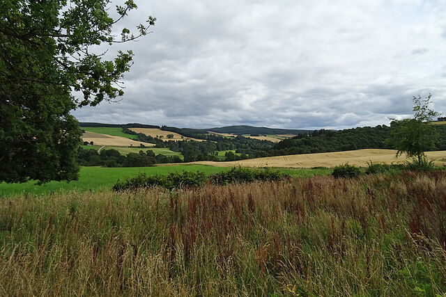
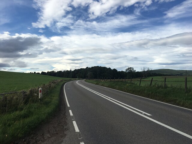
Cottarsburn Wood is a picturesque woodland located in Banffshire, Scotland. Spanning over several acres, this enchanting forest is a haven for nature lovers and outdoor enthusiasts alike. The wood is situated near the village of Cottarsburn, which gives it its name.
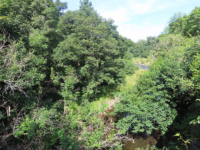
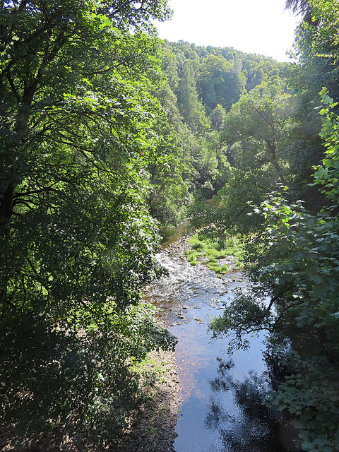
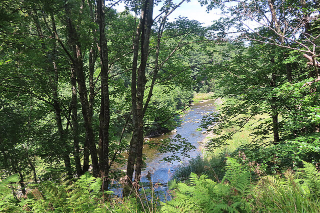
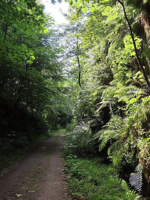
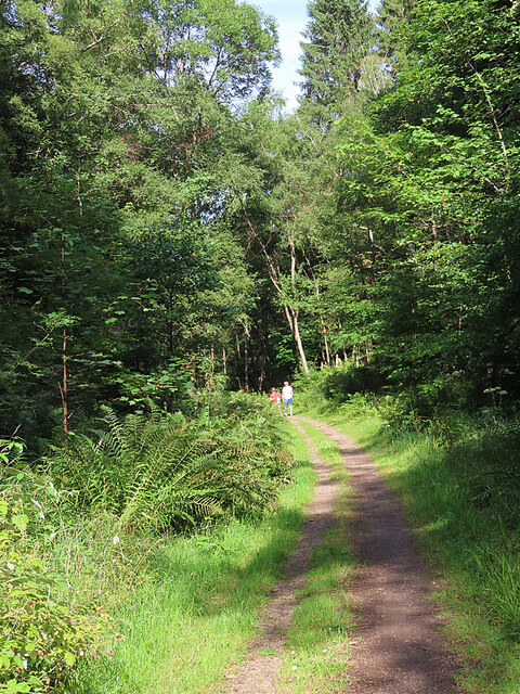
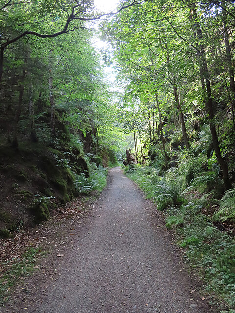
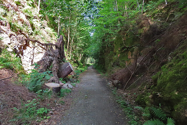
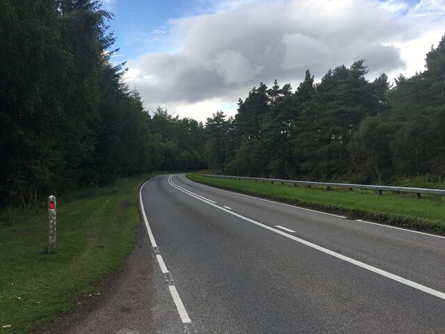
As visitors enter Cottarsburn Wood, they are greeted by a diverse range of flora and fauna. The forest is predominantly composed of native Scottish trees such as oak, birch, and pine, creating a lush and vibrant atmosphere. The canopy of leaves provides a cool and shaded environment, perfect for a leisurely stroll on a sunny day.
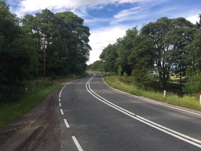
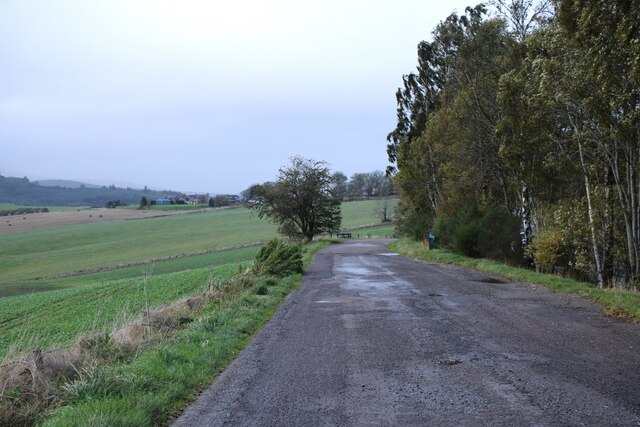
The woodland is crisscrossed by a network of well-maintained footpaths, allowing visitors to explore its hidden corners and discover its natural beauty. These pathways lead to stunning viewpoints, bubbling streams, and tranquil ponds, creating a harmonious blend of sights and sounds.
Cottarsburn Wood is also home to a rich variety of wildlife. Keen-eyed visitors may catch a glimpse of red squirrels darting through the trees, or perhaps spot a deer grazing in the distance. Birdwatchers will delight in the opportunity to observe a plethora of avian species, including woodpeckers, owls, and even the occasional golden eagle soaring above.
For those seeking more adventurous activities, Cottarsburn Wood offers opportunities for hiking, mountain biking, and even horseback riding. The forest is intersected by numerous trails that cater to different skill levels, ensuring there is something for everyone.
Overall, Cottarsburn Wood is a captivating destination that showcases the natural beauty of Banffshire. With its scenic landscapes, diverse flora and fauna, and recreational opportunities, it is a must-visit location for both locals and tourists seeking a tranquil escape into nature.
If you have any feedback on the listing, please let us know in the comments section below.
Cottarsburn Wood Images
Images are sourced within 2km of 57.481676/-3.1350895 or Grid Reference NJ3244. Thanks to Geograph Open Source API. All images are credited.


Cottarsburn Wood is located at Grid Ref: NJ3244 (Lat: 57.481676, Lng: -3.1350895)
Unitary Authority: Moray
Police Authority: North East
What 3 Words
///caressing.chop.prosper. Near Dufftown, Moray
Nearby Locations
Related Wikis

Gauldwell Castle
Gauldwell Castle was a 13th-century castle, about 3.5 miles (5.6 km) north-west of Dufftown, Moray, Scotland, north of the River Fiddich. Alternative names...
Kininvie distillery
Kininvie distillery located in Dufftown, Moray, Scotland produces single malt Scotch whisky. The distillery is owned by William Grant & Sons and the product...
Maggieknockater
Maggieknockater (Scottish Gaelic: Magh an Fhùcadair, meaning "field of the fuller" or "plain of the hilly ridge") is a hamlet on the A95 road between Craigellachie...

Strathspey, Scotland
Strathspey (Scottish Gaelic: Srath Spè, [s̪t̪ɾa ˈs̪peː]) is the region around the strath of the River Spey, Scotland, split between the Moray council area...
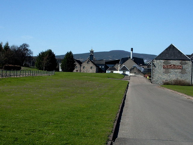
Balvenie distillery
Balvenie distillery is a Speyside single malt Scotch whisky distillery in Dufftown, Scotland, owned by William Grant & Sons. == History == William Grant...
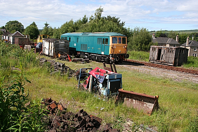
Dufftown railway station
Dufftown railway station is a preserved railway station that serves the burgh of Dufftown, Moray, Scotland on the Keith and Dufftown Railway. == History... ==
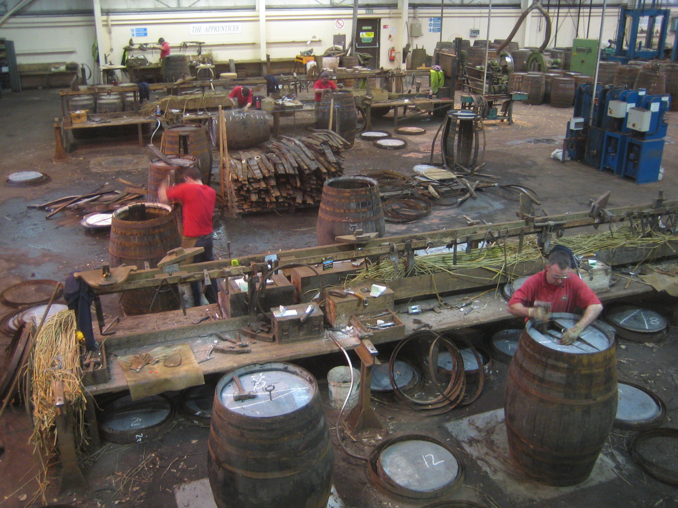
Speyside Cooperage
The Speyside Cooperage is a cooperage located in Craigellachie, Aberlour, Scotland. Its visitor centre, the only such in Britain, is part of the Malt Whisky...
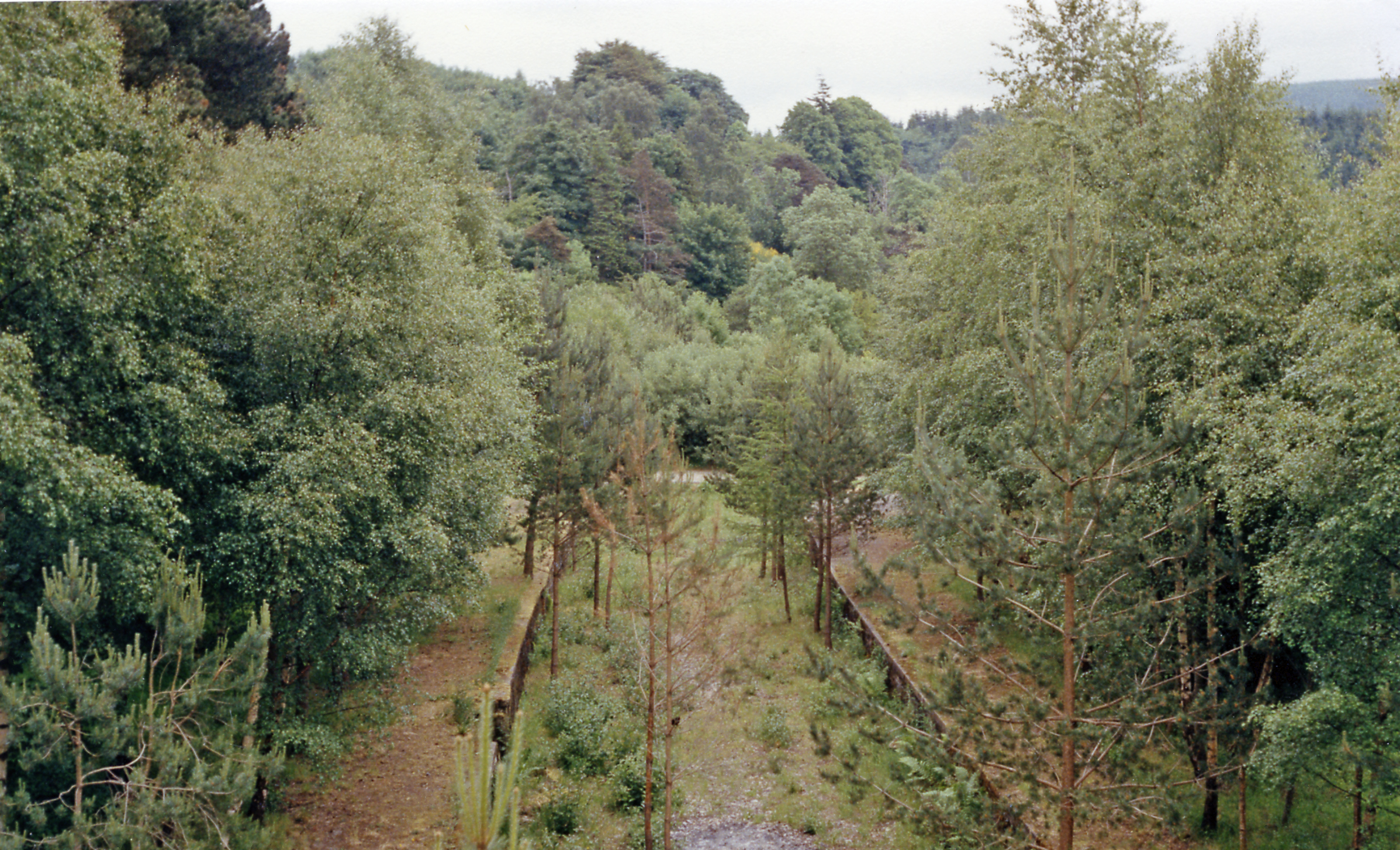
Craigellachie railway station
Craigellachie railway station served the village of Craigellachie, Moray, Scotland from 1863 to 1968 on the Morayshire Railway and the Strathspey Railway...
Nearby Amenities
Located within 500m of 57.481676,-3.1350895Have you been to Cottarsburn Wood?
Leave your review of Cottarsburn Wood below (or comments, questions and feedback).