Forester's Strip
Wood, Forest in Fife
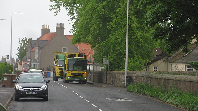
Scotland
Forester's Strip
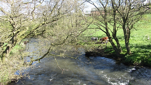
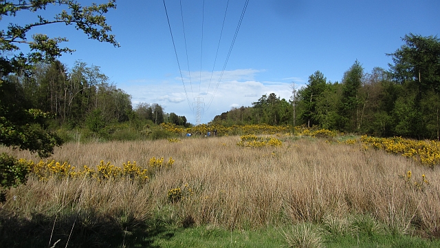
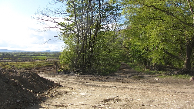
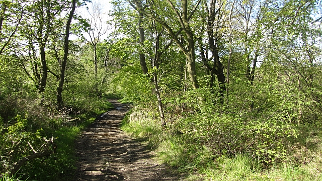
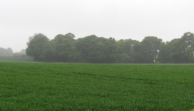
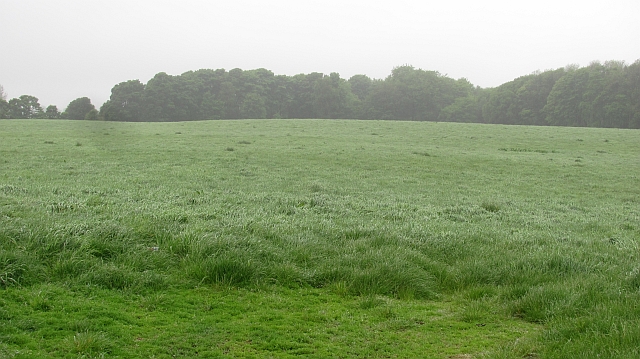
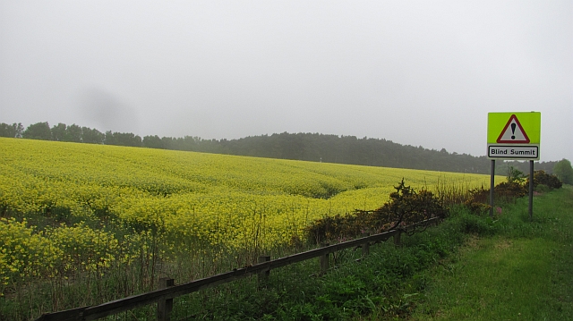
Forester's Strip, located in Fife, Scotland, is a wood or forest area known for its natural beauty and rich biodiversity. Spanning approximately 200 hectares, this enchanting strip of woodland is a popular destination for nature lovers, hikers, and birdwatchers.
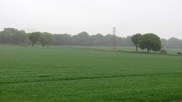
The wood is predominantly composed of native tree species, including oak, beech, birch, and Scots pine. These majestic trees provide shade and shelter for a diverse range of flora and fauna. The forest floor is adorned with a carpet of mosses, ferns, and wildflowers, creating a picturesque landscape that changes with the seasons.
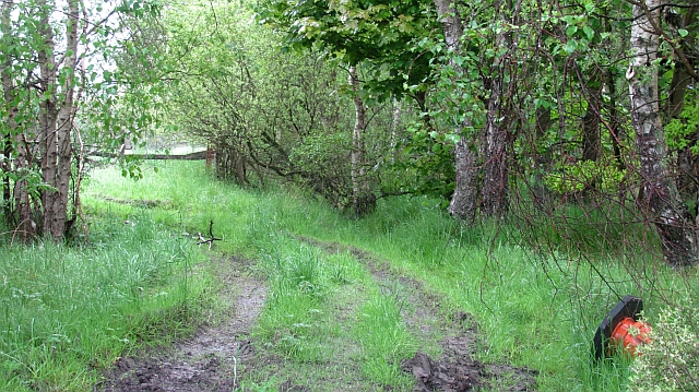
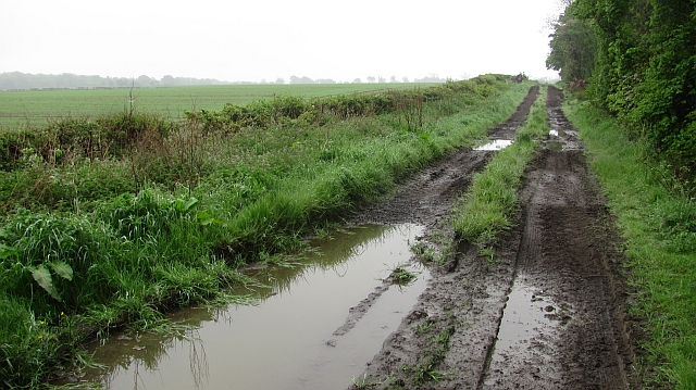
Forester's Strip is traversed by several well-maintained trails, allowing visitors to explore the wood at their own pace. These paths wind through the trees, offering stunning views of the surrounding countryside and glimpses of wildlife along the way. Bird enthusiasts can spot various species, such as woodpeckers, thrushes, and owls, while lucky visitors might even catch a glimpse of red squirrels or roe deer.
The wood is managed by the local forestry commission, ensuring its preservation and sustainable usage. It provides an important habitat for many species, contributing to the overall ecological balance of the area. Additionally, Forester's Strip offers recreational opportunities for locals and tourists alike, with picnic areas and designated camping spots available for overnight stays.
Overall, Forester's Strip in Fife is a captivating woodland that showcases the natural beauty and biodiversity of the region. It is a haven for nature enthusiasts, offering a peaceful retreat and a chance to connect with the wonders of the Scottish countryside.
If you have any feedback on the listing, please let us know in the comments section below.
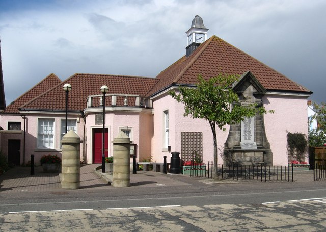
Forester's Strip Images
Images are sourced within 2km of 56.161787/-3.0966731 or Grid Reference NT3197. Thanks to Geograph Open Source API. All images are credited.


Forester's Strip is located at Grid Ref: NT3197 (Lat: 56.161787, Lng: -3.0966731)
Unitary Authority: Fife
Police Authority: Fife
What 3 Words
///glare.motive.recover. Near East Wemyss, Fife
Nearby Locations
Related Wikis

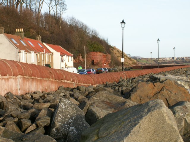
West Wemyss railway station
West Wemyss railway station served the village of West Wemyss , Fife, Scotland, from 1881 to 1949 on the Wemyss and Buckhaven Railway. == History == The...
Coaltown of Wemyss
Coaltown of Wemyss () is a village in south-east Fife, Scotland, around 5 km north of Kirkcaldy. The town was built in the 1890s as an estate village on...

Wemyss, Fife
Wemyss ( WEEMZ) is a civil parish on the south coast of Fife, Scotland, lying on the Firth of Forth. It is bounded on the north-east by the parish of...
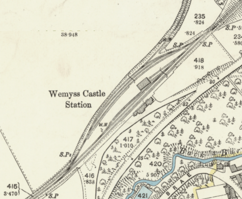
Wemyss Castle railway station
Wemyss Castle railway station served the village of East Wemyss , Fife, Scotland, from 1881 to 1955 on the Wemyss and Buckhaven Railway. == History... ==
Alfred Dunhill Links Championship
The Alfred Dunhill Links Championship is one of the richest golf tournaments on the European Tour. It is played in September, on three different links...
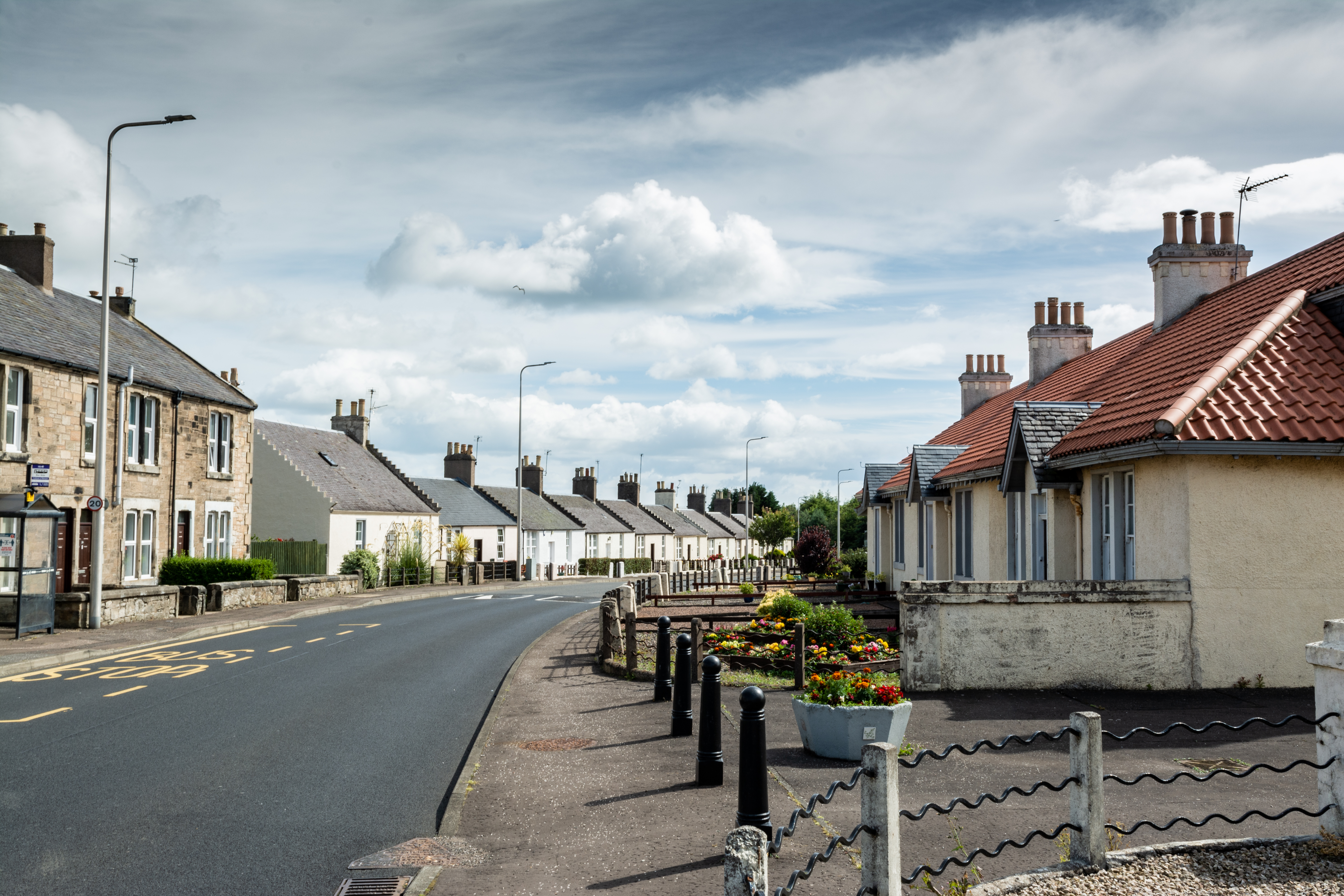
East Wemyss
East Wemyss ( ) is a village situated on the south coast of Fife, Scotland. According to the 2011 census, the village has a population of 1,928. ��2�...
Kirkcaldy (district)
Kirkcaldy (Scottish Gaelic: Dùn Phàrlain, Scots: Dunfaurlin) was a local government district in the Fife region of Scotland from 1975 to 1996. The district...

Thornton Junction railway station
Thornton Junction railway station served the village of Thornton, Fife, Scotland from 1847 to 1969 on the Fife Coast Railway. == History == The station...
Nearby Amenities
Located within 500m of 56.161787,-3.0966731Have you been to Forester's Strip?
Leave your review of Forester's Strip below (or comments, questions and feedback).