New Bridge Strip

Wood, Forest in Fife

Scotland

New Bridge Strip

River Ore Downstream view from a footbridge at Tullybreck.
River Ore Credit: Richard Webb

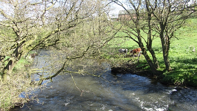
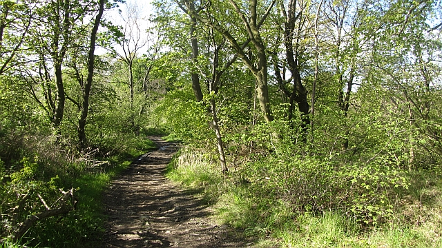
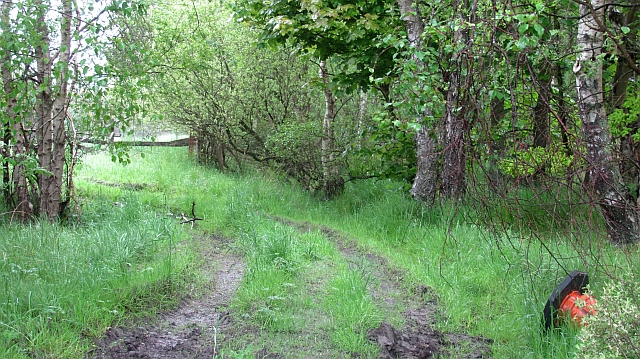
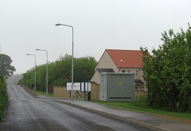
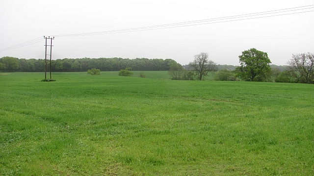
New Bridge Strip in Fife, Scotland is a picturesque woodland area known for its stunning natural beauty and tranquil atmosphere. Located in the heart of Fife, this wooded forest offers a peaceful retreat for nature enthusiasts and outdoor lovers alike.

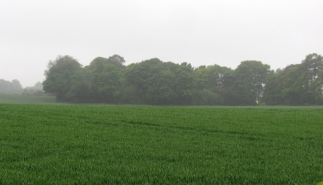
Covering an area of approximately 200 acres, New Bridge Strip is characterized by a diverse range of tree species, including oak, beech, and birch. The forest boasts an enchanting atmosphere, with sunlight filtering through the dense canopy and creating a magical ambiance. The forest floor is adorned with a carpet of vibrant wildflowers and ferns, adding to its natural charm.

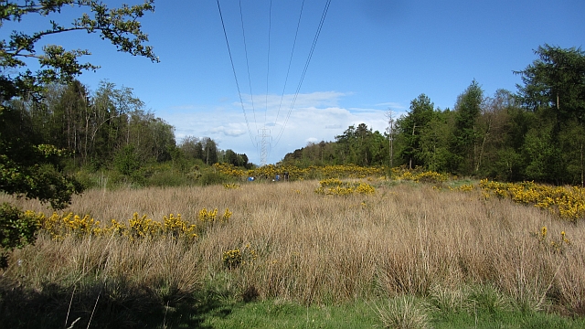
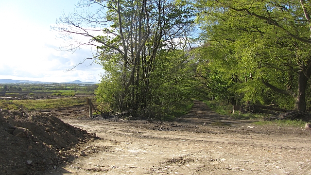
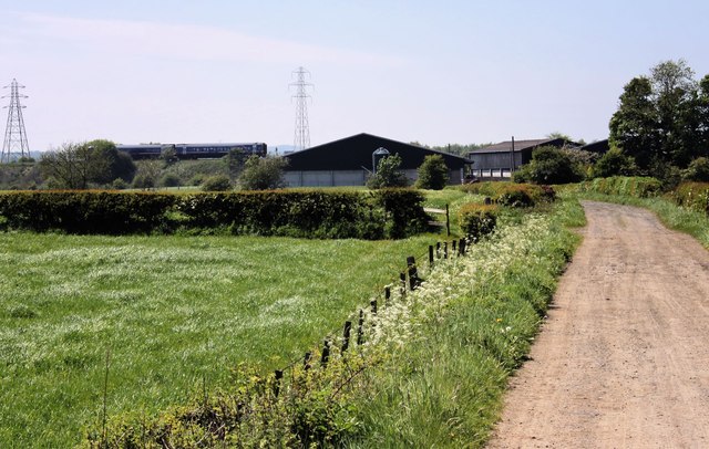
This woodland area is crisscrossed by a network of well-maintained trails, allowing visitors to explore its wonders on foot or by bike. These trails wind through the forest, offering breathtaking views of the surrounding landscape, including the nearby River Eden. The sound of birdsong fills the air, providing a soothing soundtrack to the woodland experience.

New Bridge Strip is also home to a variety of wildlife, making it a haven for nature enthusiasts and wildlife photographers. Visitors may spot deer, foxes, squirrels, and a wide array of bird species, including woodpeckers and owls.

For those seeking solitude and tranquility, New Bridge Strip offers a perfect escape from the hustle and bustle of everyday life. Whether it's a leisurely walk, a picnic among the trees, or simply immersing oneself in nature's beauty, this woodland area in Fife is a hidden gem waiting to be discovered.

If you have any feedback on the listing, please let us know in the comments section below.

New Bridge Strip Images

Images are sourced within 2km of 56.165294/-3.1094787 or Grid Reference NT3197. Thanks to Geograph Open Source API. All images are credited.

River Ore Downstream view from a footbridge at Tullybreck.
River Ore
Downstream view from a footbridge at Tullybreck.
Wemyss Wood A ride carrying power lines.
Wemyss Wood
A ride carrying power lines.
Open cast Admin block for an opencast site. The path from Tullybreck still goes.
Open cast
Admin block for an opencast site. The path from Tullybreck still goes.
New Bridge Strips A track, Queen Mary's Road, runs down through the strip wood towards the now rather old looking New Bridge (known as the Barrel Bridge). This was probably a road once. On the left some large scale ground works are in progress for either construction or open cast coal mining. On the right are existing open cast workings.
New Bridge Strips
A track, Queen Mary's Road, runs down through the strip wood towards the now rather old looking New Bridge (known as the Barrel Bridge). This was probably a road once. On the left some large scale ground works are in progress for either construction or open cast coal mining. On the right are existing open cast workings.
New Bridge Strips Queen Mary's Road approaches the Barrel Bridge over the Ore.  The road runs through a strip wood and usefully crosses an area of open cast mining.
New Bridge Strips
Queen Mary's Road approaches the Barrel Bridge over the Ore. The road runs through a strip wood and usefully crosses an area of open cast mining.
Doubledikes Road A track running down to the site of Balgonie Colliery and New Bridge. It continues southwards through an open cast site on the other side of the New Bridge.
Doubledikes Road
A track running down to the site of Balgonie Colliery and New Bridge. It continues southwards through an open cast site on the other side of the New Bridge.
Ore Mills At the end of the dismantled Thornton to Methil Branch Railway as it crossed Orrsmill Road.  the Edinburgh to Aberdeen Railway seen in the background
Ore Mills
At the end of the dismantled Thornton to Methil Branch Railway as it crossed Orrsmill Road. the Edinburgh to Aberdeen Railway seen in the background
Arable land, Coaltown of Wemyss Looking towards Bowhouse Strip.
Arable land, Coaltown of Wemyss
Looking towards Bowhouse Strip.
Arable land, Lochhead This grid square is about 50:50 farmland/woodland.
Arable land, Lochhead
This grid square is about 50:50 farmland/woodland.
Track, Moss Wood The track fades a bit once west of the Scout camp. This may be due to the open cast workings in the area.
Track, Moss Wood
The track fades a bit once west of the Scout camp. This may be due to the open cast workings in the area.
Oilseed rape, Standing Stane Road Farmland amongst the woods along the very busy and extremely unpleasant Standing Stane Road (A915).
Oilseed rape, Standing Stane Road
Farmland amongst the woods along the very busy and extremely unpleasant Standing Stane Road (A915).
Arable land, Woodbank Cereal crops and strip woods, typical of inland of Wemyss.
Arable land, Woodbank
Cereal crops and strip woods, typical of inland of Wemyss.
Track, Wemyss Signposted for East Wemyss this track had had its mud restored by a night of rainfall. It runs between an arable field and Standingstone Park Plantation.
Track, Wemyss
Signposted for East Wemyss this track had had its mud restored by a night of rainfall. It runs between an arable field and Standingstone Park Plantation.
Minor road, Coaltown of Wemyss The road runs to the A915. On the right is Lady Grosvenor Gait, a new housing estate which I suspect is named after a colliery.
Minor road, Coaltown of Wemyss
The road runs to the A915. On the right is Lady Grosvenor Gait, a new housing estate which I suspect is named after a colliery.
Minor road, Lochhead It links the A915 with Coaltown of Wemyss.
Minor road, Lochhead
It links the A915 with Coaltown of Wemyss.
Field, Cowdenlaws Arable land behind the strip wood.
Field, Cowdenlaws
Arable land behind the strip wood.
Thornton Junction Golf Course The River Ore in the foreground.
Remnants of an old pipeline on the left.
Thornton Junction Golf Course
The River Ore in the foreground. Remnants of an old pipeline on the left.
The branch line to Methil leaves the main line This has been an area of open cast mining and work continues in the distance.
The branch line to Methil leaves the main line
This has been an area of open cast mining and work continues in the distance.
Show me another place!

New Bridge Strip is located at Grid Ref: NT3197 (Lat: 56.165294, Lng: -3.1094787)

Unitary Authority: Fife

Police Authority: Fife

What 3 Words

///planet.tripling.publisher. Near Coaltown of Balgonie, Fife

Related Wikis

West Wemyss railway station

West Wemyss railway station served the village of West Wemyss , Fife, Scotland, from 1881 to 1949 on the Wemyss and Buckhaven Railway. == History == The...

Thornton Junction railway station

Thornton Junction railway station served the village of Thornton, Fife, Scotland from 1847 to 1969 on the Fife Coast Railway. == History == The station...

Alfred Dunhill Links Championship

The Alfred Dunhill Links Championship is one of the richest golf tournaments on the European Tour. It is played in September, on three different links...

Thornton Stadium

Thornton Stadium is a greyhound racing track in Thornton, Kirkcaldy, Fife, Scotland. The track is the last remaining independent track and is therefore...

Kirkcaldy (district)

Kirkcaldy (Scottish Gaelic: Dùn Phàrlain, Scots: Dunfaurlin) was a local government district in the Fife region of Scotland from 1975 to 1996. The district...

Coaltown of Wemyss

Coaltown of Wemyss () is a village in south-east Fife, Scotland, around 5 km north of Kirkcaldy. The town was built in the 1890s as an estate village on...

Glenrothes with Thornton railway station

Glenrothes with Thornton railway station serves the communities of Glenrothes and Thornton in Fife, Scotland. The station is managed by ScotRail and is...

Milton of Balgonie

Milton of Balgonie () is a small village in central Fife, Scotland. It is situated 2 miles (3.2 km) east of Glenrothes between the nearby villages of Markinch...

Nearby Amenities

Located within 500m of 56.165294,-3.1094787
Power: tower
Lat/Long: 56.1636928/-3.1105932
Power: tower
Lat/Long: 56.1678892/-3.1141601
Power: tower
Lat/Long: 56.1687956/-3.1112602
Power: tower
Lat/Long: 56.1654576/-3.1030798
Power: tower
Lat/Long: 56.1645008/-3.107153
Power: tower
Lat/Long: 56.1630465/-3.1145761
Generator Method: wind_turbine
Generator Output Electricity: 2 MW
Generator Source: wind
Generator Type: horizontal_axis
Power: generator
Lat/Long: 56.1626218/-3.1052969
Generator Method: wind_turbine
Generator Output Electricity: 2 MW
Generator Source: wind
Generator Type: horizontal_axis
Power: generator
Lat/Long: 56.1641729/-3.1143841
Generator Method: wind_turbine
Generator Output Electricity: 2 MW
Generator Source: wind
Generator Type: horizontal_axis
Power: generator
Lat/Long: 56.1657068/-3.1067976
The data included in this document is from www.openstreetmap.org. The data is made available under ODbL.

Have you been to New Bridge Strip?

Leave your review of New Bridge Strip below (or comments, questions and feedback).